Hogs Back - FR 70094
Total Miles
6.3
Technical Rating
Best Time
Summer, Fall
Trail Type
Full-Width Road
Accessible By
Trail Overview
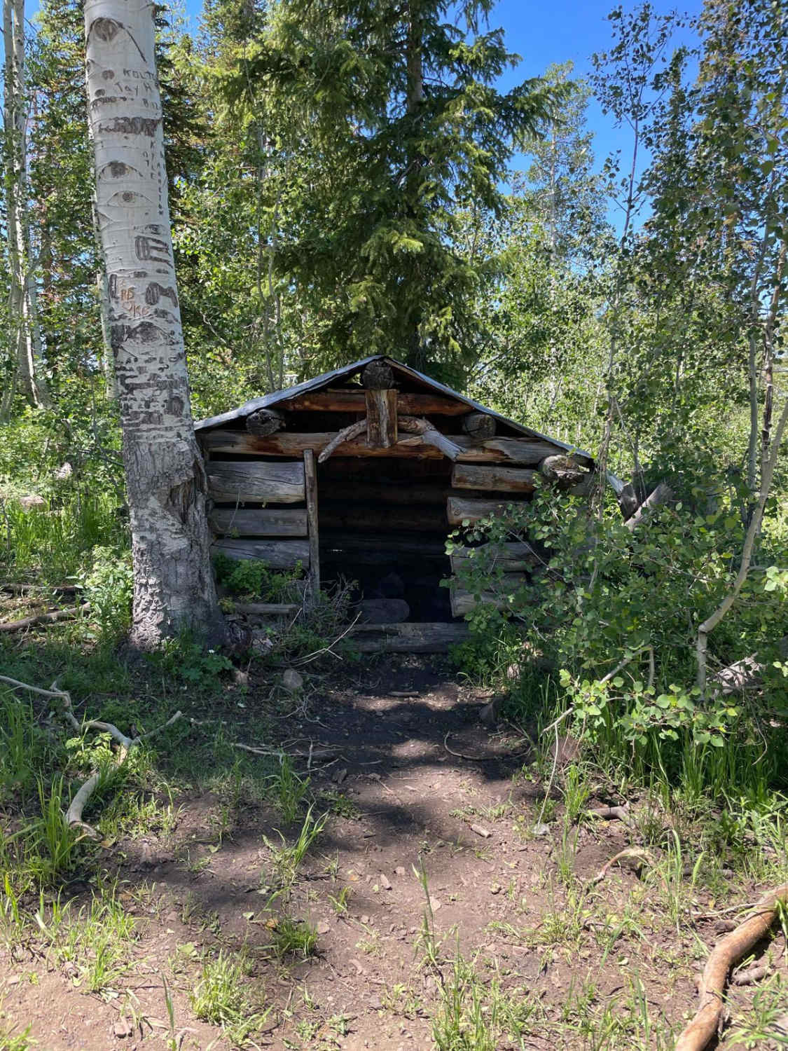
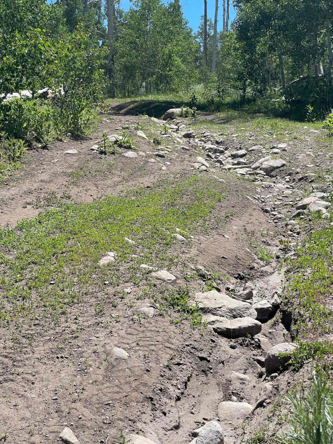
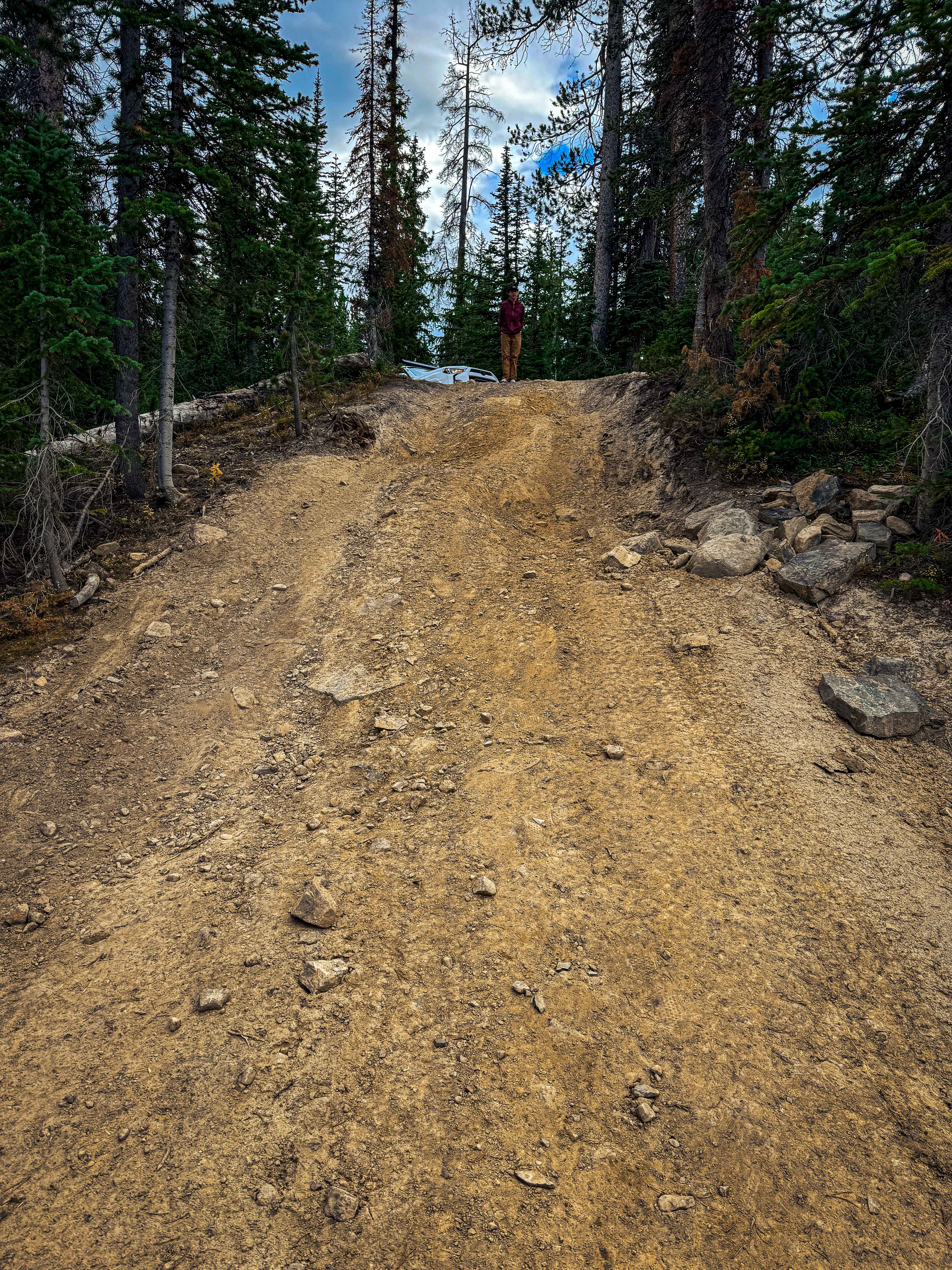
Hogs Back runs in an east and west direction, with the high point of the trail on the eastern end, being above 10,000 feet in elevation. Needless to say, the views are incredible. Patches of snow may still be in the area as late as July. The trail is mostly dirt with sections of deep ruts and large loose rocks, even on steep inclines. But the road isn't too narrow, so simply driving to one side or the other of the obstacle should help. Just to the west where Hogs Back intersects with Ctr Cr (FR 70309) is a small, one-room log cabin which may be an interesting stop along your way. However, near the high point of the trail on the east end is an intersection with another very short trail called "Radio Tower" (FR 70568) that leads to the summit where an old metal shack was once part of a radio tower or observation tower. Camping is limited, though there are a few primitive spots. Cell service is pretty much the same - limited with a few spots here and there. Also, watch for cattle grazing in the area. The far east side has an old timber corral which appears to be in disuse.
Photos of Hogs Back - FR 70094
Difficulty
Some deep ruts, but the road is usually wide enough to avoid them, however, this is by no means a two-lane road. There are steep inclines with loose rocks the size of baseballs to melon size.
Hogs Back - FR 70094 can be accessed by the following ride types:
- High-Clearance 4x4
- SUV
- SxS (60")
- ATV (50")
- Dirt Bike
Hogs Back - FR 70094 Map
Popular Trails
Upper Barracks Trail-BLM20
Echo Lake Trail
Smelter Knolls Wash
The onX Offroad Difference
onX Offroad combines trail photos, descriptions, difficulty ratings, width restrictions, seasonality, and more in a user-friendly interface. Available on all devices, with offline access and full compatibility with CarPlay and Android Auto. Discover what you’re missing today!
