Hole in the Rock Site - CR 4123
Total Miles
5.6
Technical Rating
Best Time
Spring, Summer, Fall, Winter
Trail Type
Full-Width Road
Accessible By
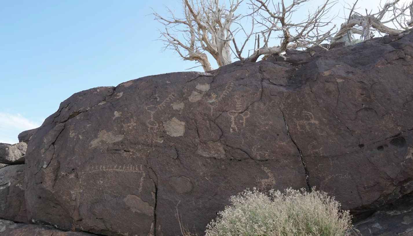
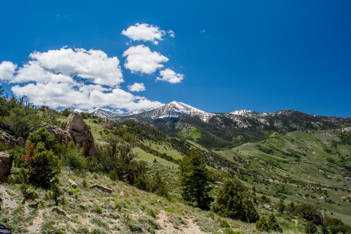
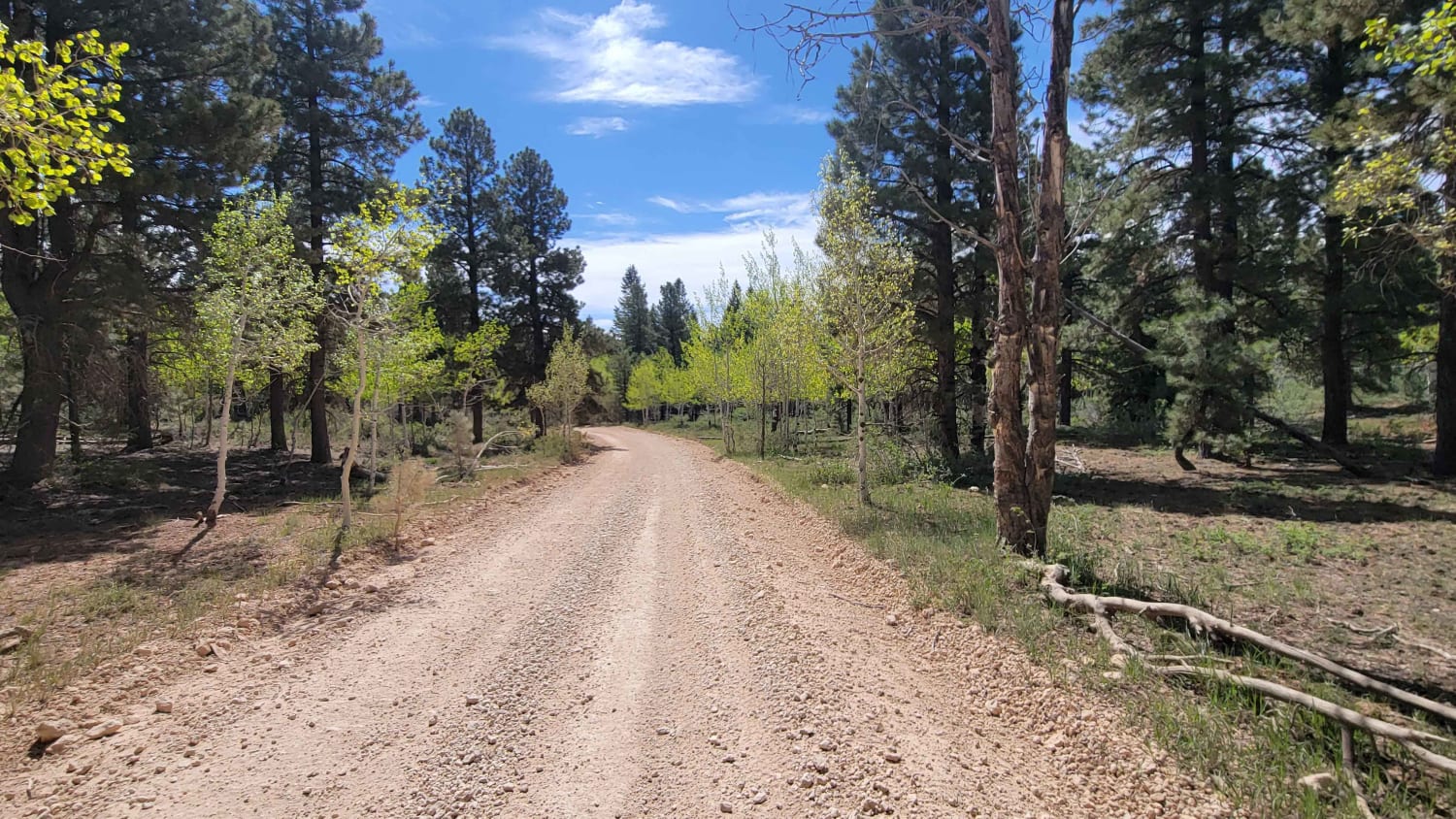
Trail Overview
This is a 5.6-mile point-to-point destination trail that leads to the Hole in the Rock Petroglyph Site. This is a 2 of 10-rated trail located in Millard County. The trail is a maintained gravel and dirt road that can be used by any 4WD and most 2WD vehicles. The trail will lead to a small parking area where the trailhead leading to the petroglyph sites is located. Hole in the Rock is a relatively small rock art site west of Interstate 15. The petroglyphs are found along a small basalt cliff, and boulders overlook a broad valley. The panels here are smaller and less concentrated than those at other sites around the area. These panels also face west/southwest, making afternoon lighting a bit better for photography. There are signs leading to the site and informational signs at the site. The trail traverses the southern end of the Sevier Desert, and the land is managed by the BLM. Dispersed camping is allowed in the area, but please do not camp near the petroglyph site. A few petroglyphs can be found on some of the basalt boulders that form a ridge near the road. More petroglyphs can be seen as you walk along the base of the ridge. At the point where a gap appears in the line of the ridge, there are found a good deal more petroglyphs of even better quality. The trailhead is located at 38.87971, -112.63924, with key petroglyph sites located at 38.87881, -112.63843, and 38.87903, -112.63868. Cell phone coverage is unlikely, and the nearest services are located in Kanosh or Meadow on the east side of Interstate 15.
Photos of Hole in the Rock Site - CR 4123

Difficulty
County dirt road with infrequent or light maintenance after rain or snow. High clearance light-duty 4WD may be required.
Status Reports
Hole in the Rock Site - CR 4123 can be accessed by the following ride types:
- High-Clearance 4x4
- SUV
- SxS (60")
- ATV (50")
- Dirt Bike
Hole in the Rock Site - CR 4123 Map
Popular Trails

Forshea Mountain South
Toms Canyon
Maragunt Plateau 1

Hog Canyon 1 West - Main Street (BLM HC1)
The onX Offroad Difference
onX Offroad combines trail photos, descriptions, difficulty ratings, width restrictions, seasonality, and more in a user-friendly interface. Available on all devices, with offline access and full compatibility with CarPlay and Android Auto. Discover what you’re missing today!