Hog Canyon 6 - Savage Point (BLM HC6/6A)
Total Miles
3.3
Technical Rating
Best Time
Spring, Fall, Summer
Trail Type
High-Clearance 4x4 Trail
Accessible By
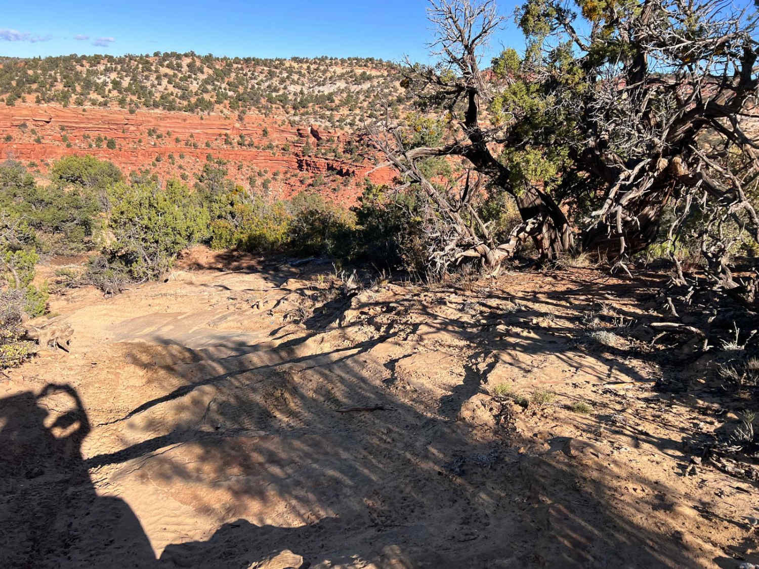
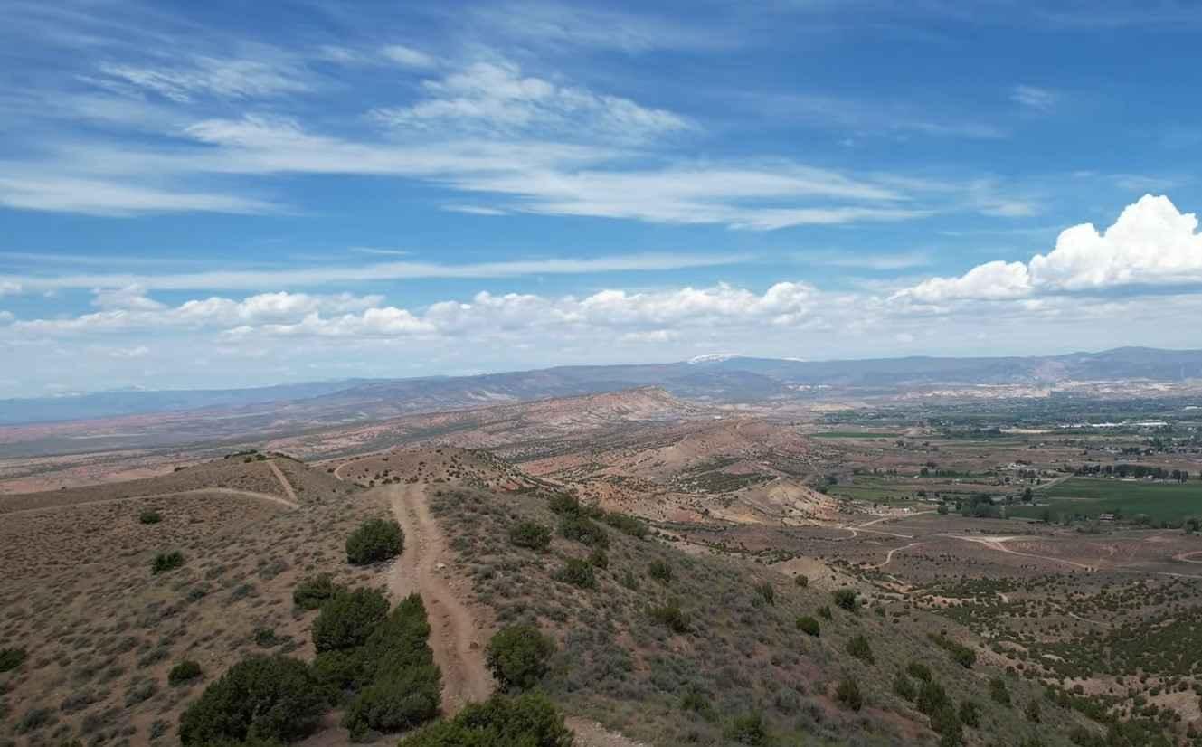
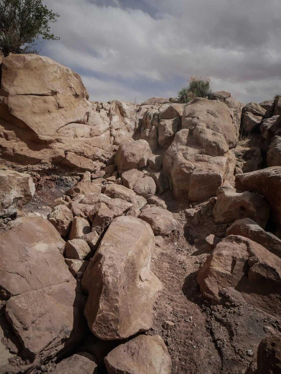
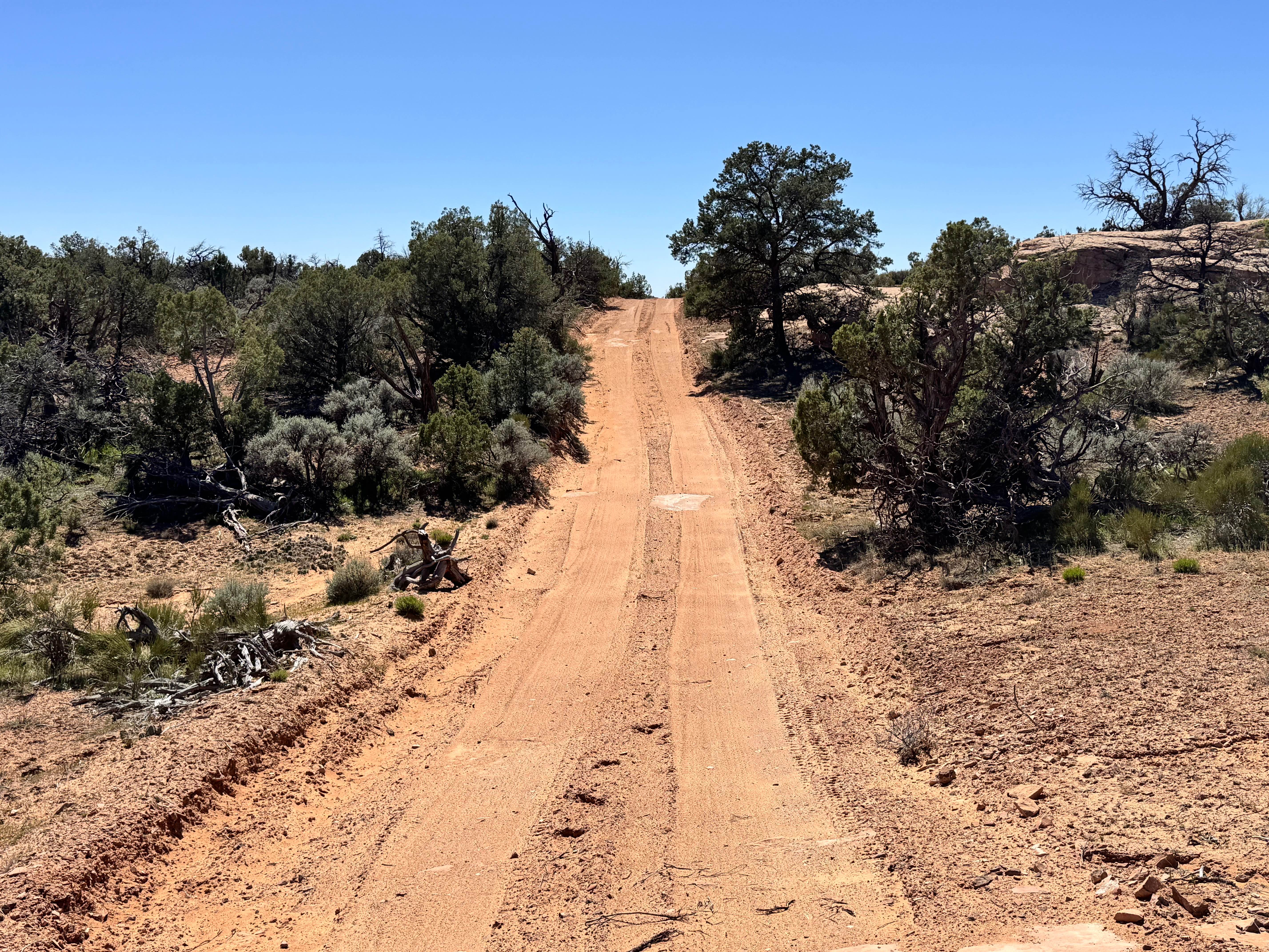
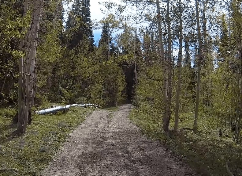
Trail Overview
HC6 is one of the more recent trails in the trail park. HC6 is also the only trail that is not accessible off HC1. It complements HC5 by providing an approved route along the western portion of the Savage peninsula. This is a slightly less challenging route to Savage Point with many different obstacles. HC6 has some beautiful views as you move along the track. The track is well-marked and can be followed easily. When you reach HC5A you will need to turn right and follow HC5A a short distance to Savage Point. There may be Spring closures of the eastern portion of HC5A and 6A for Perrigin Falcon nesting.HC6A has been included in this description because it is only .6 miles long. It has a rating of 2. HC6A provides an alternative path for those wishing to bypass some of the most challenging obstacles on HC5A and all of HC6 if you are time-constrained. When you reach the end of HC6A turn right and follow HC5A to Savage Point. Please Note: HC is a set of defined trails, AKA, a trail park. These defined trails vary in difficulty to provide challenges for all types of vehicles and skill levels. It is also a great area to learn new skills on these trails. HC is NOT an open-riding area. You are expected to stay on the defined trails and under no circumstances create new trails. In addition, please do not build upon someone else's desecration of the area by riding on trails or bypasses that have been created by others. Please obey all BLM-posted signs. OnX asks everyone to support the Tread Lightly principles.
Photos of Hog Canyon 6 - Savage Point (BLM HC6/6A)

Difficulty
HC6 presents a wide variety of challenges including rock ledges, off-camber rock traverses, and washes. This is a single-path trail that should be ridden as laid out. If you were challenged by HC5 this trail provides a respite with easier obstacles and yet challenges that will require attention to traverse successfully.
Status Reports
Hog Canyon 6 - Savage Point (BLM HC6/6A) can be accessed by the following ride types:
- High-Clearance 4x4
- SxS (60")
- ATV (50")
- Dirt Bike
Hog Canyon 6 - Savage Point (BLM HC6/6A) Map
Popular Trails
Butch Cassidy Loop
Crystal Geyser Trail (South)
Dome Plateau - BLM 345
Exiting Manti Canyon
The onX Offroad Difference
onX Offroad combines trail photos, descriptions, difficulty ratings, width restrictions, seasonality, and more in a user-friendly interface. Available on all devices, with offline access and full compatibility with CarPlay and Android Auto. Discover what you’re missing today!