Upper FAA Road
Total Miles
2.1
Technical Rating
Best Time
Fall, Summer, Spring
Trail Type
High-Clearance 4x4 Trail
Accessible By
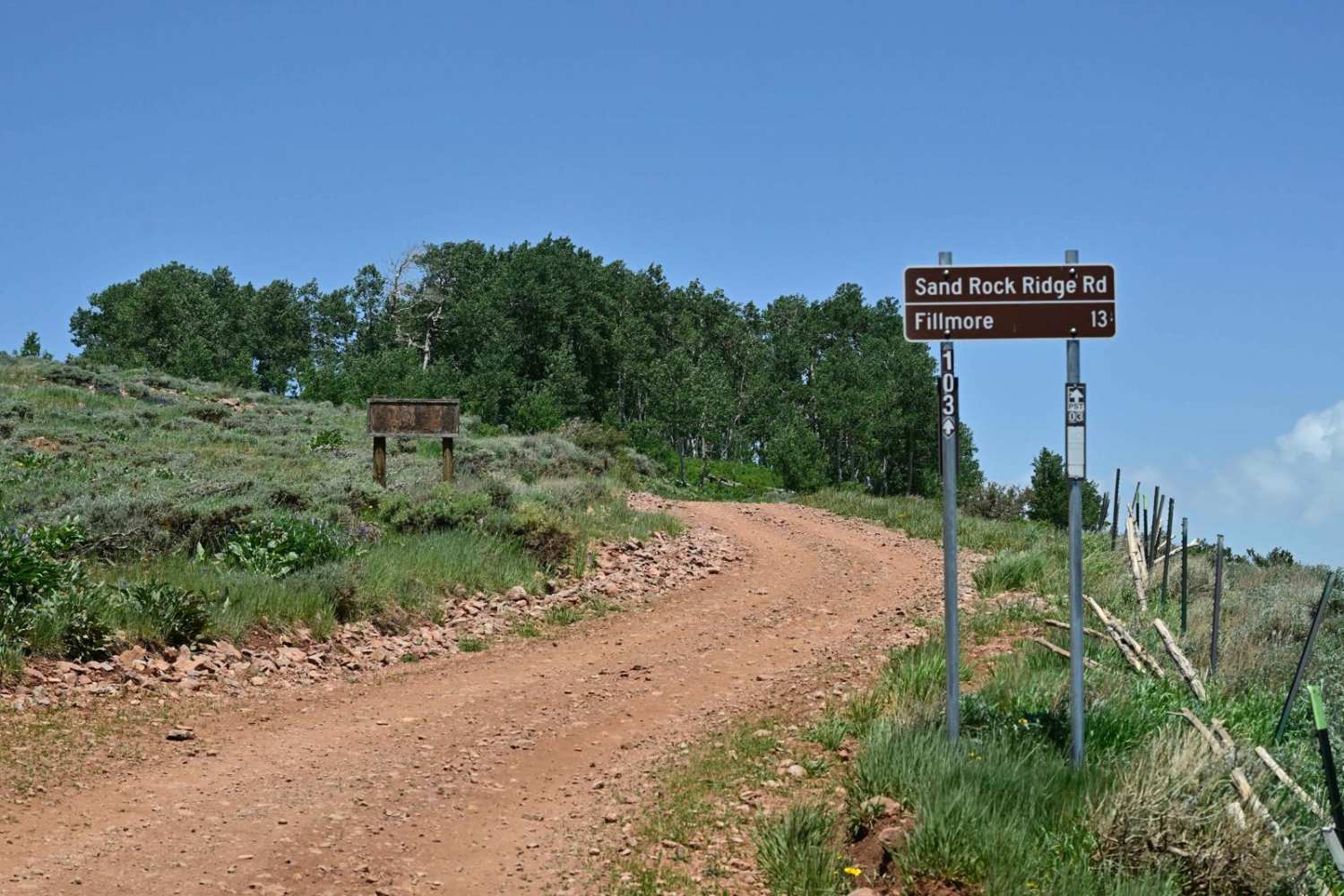
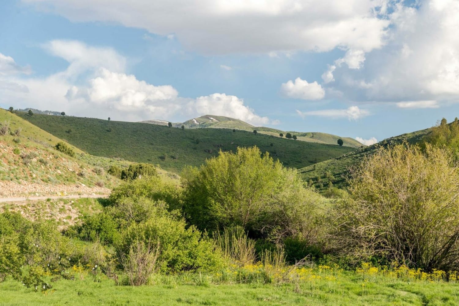
Trail Overview
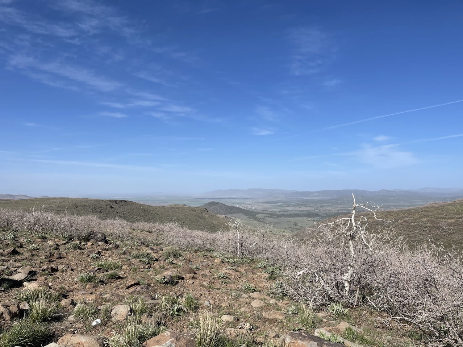
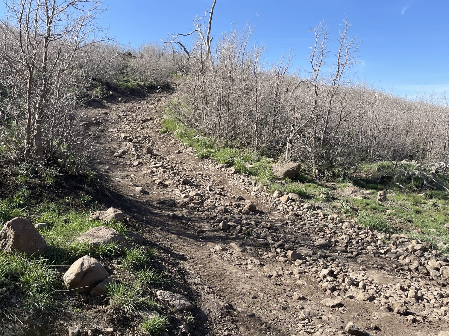
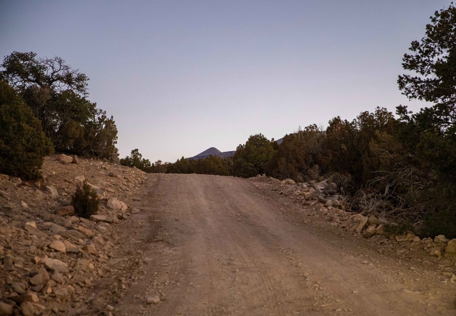
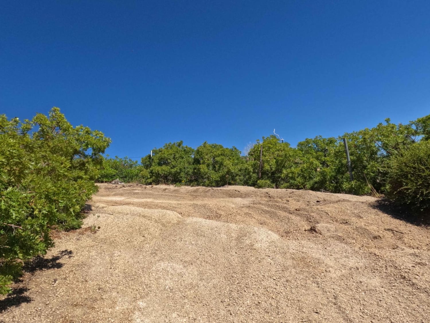
This short out and back spur is definitely worth the trip. It begins with a short steep climb, then almost immediate descent as it drops into a beautiful valley. You head back uphill once you cross the valley and pop out on a rock garden-filled Plateau. There are many rocks to work through, but at the end of the trail is a magnificent view of at least 280deg on a clear day. You can probably see all the way to St George from here! There was one fire ring in a small tree grove, and I stirred up a bunch of deer and cows on the way here. You also pass a log cabin-style horse corral with many trees in it. Not sure what's in there, but someone spent a lot of energy to protect it. Three bars LTE at the top. No service in the valley.
Photos of Upper FAA Road
Difficulty
Begins with a steep loose hill climb and descent followed by a long boulder harder to make it to the vista point at the end.
Status Reports
Upper FAA Road can be accessed by the following ride types:
- High-Clearance 4x4
- SxS (60")
- ATV (50")
- Dirt Bike
Upper FAA Road Map
Popular Trails
McMIllan Springs Road
Bearskin Cutoff (BC-20)
Sand Rock Ridge Road/PST 03B
Ant Flat Road Utah
The onX Offroad Difference
onX Offroad combines trail photos, descriptions, difficulty ratings, width restrictions, seasonality, and more in a user-friendly interface. Available on all devices, with offline access and full compatibility with CarPlay and Android Auto. Discover what you’re missing today!