Off-Road Trails in Utah
Discover off-road trails in Utah
Learn more about Hastings Cutoff Road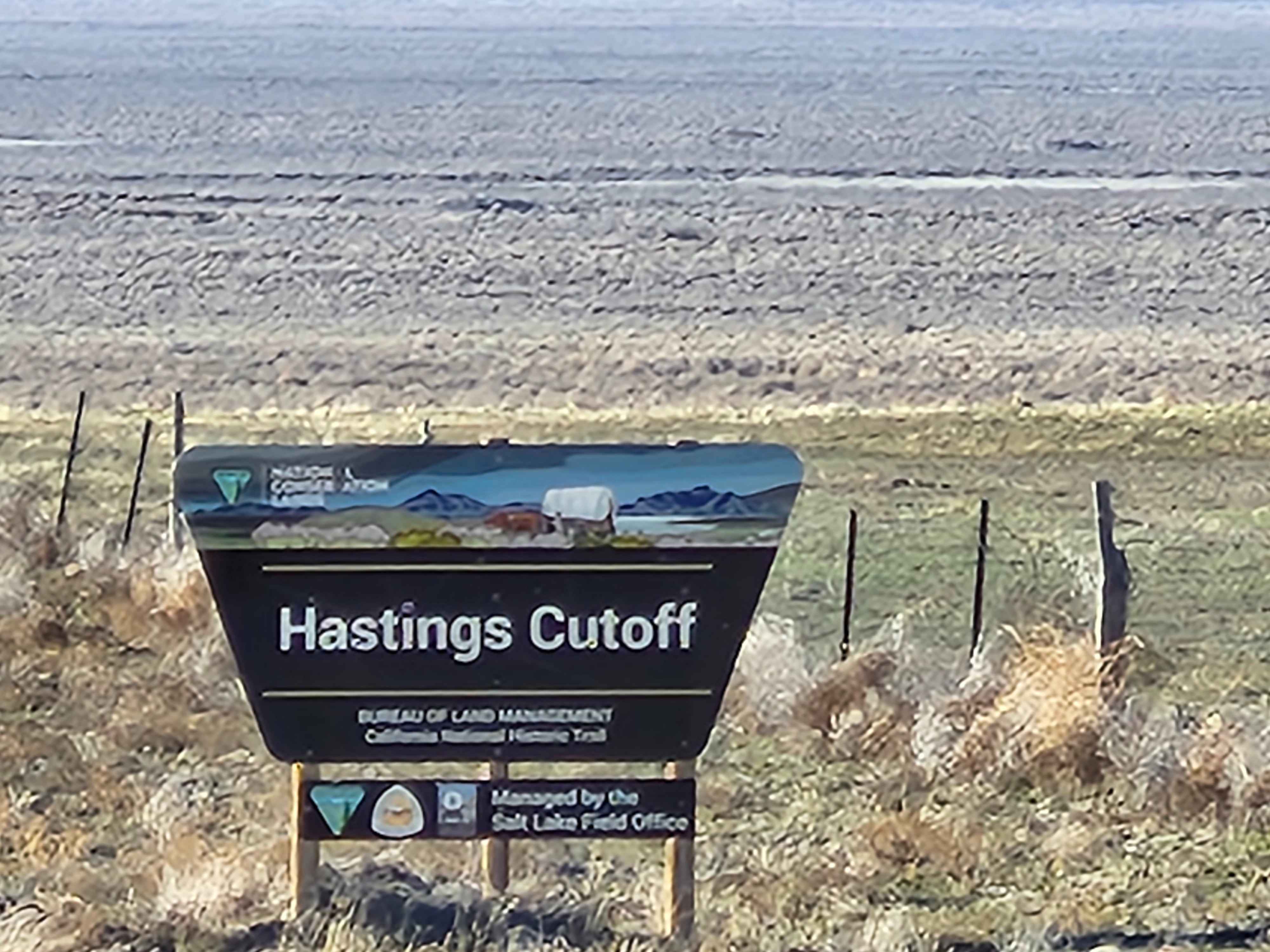
Hastings Cutoff Road
Total Miles
12.0
Tech Rating
Easy
Best Time
Spring, Summer, Fall
Learn more about Hastings Pass and Eightmile Spring
Hastings Pass and Eightmile Spring
Total Miles
17.3
Tech Rating
Easy
Best Time
Spring, Summer, Fall, Winter
Learn more about Heads of the Creek Road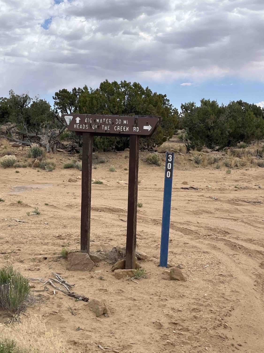
Heads of the Creek Road
Total Miles
18.6
Tech Rating
Easy
Best Time
Spring, Fall, Winter
Learn more about Heart Lake - FS 70097
Heart Lake - FS 70097
Total Miles
1.4
Tech Rating
Moderate
Best Time
Spring, Summer
Learn more about Heaven and Earth
Heaven and Earth
Total Miles
3.3
Tech Rating
Easy
Best Time
Summer, Fall, Spring
Learn more about Heber Mountain - FS 70096
Heber Mountain - FS 70096
Total Miles
6.9
Tech Rating
Moderate
Best Time
Spring, Summer
Learn more about Heber Mountain Spur 1 - FS 70055
Heber Mountain Spur 1 - FS 70055
Total Miles
2.3
Tech Rating
Easy
Best Time
Spring, Summer
Learn more about Heber Mtn (FR 70096)
Heber Mtn (FR 70096)
Total Miles
6.9
Tech Rating
Easy
Best Time
Summer, Fall
Learn more about Hell Roaring Rim
Hell Roaring Rim
Total Miles
25.1
Tech Rating
Easy
Best Time
Spring, Summer, Fall, Winter
Learn more about Hell's Hole (FS #41200)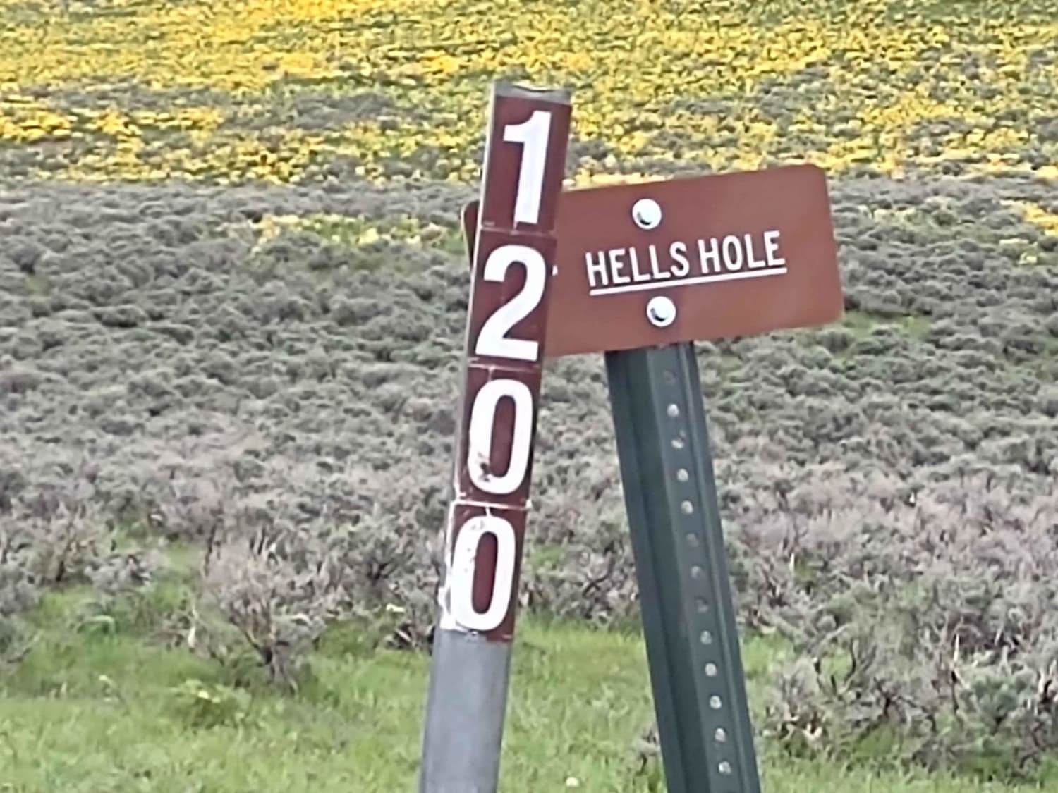
Hell's Hole (FS #41200)
Total Miles
3.0
Tech Rating
Easy
Best Time
Spring, Summer, Fall
Learn more about Hell's Hollow
Hell's Hollow
Total Miles
2.9
Tech Rating
Easy
Best Time
Summer, Spring, Fall
Learn more about Hell's Revenge
Hell's Revenge
Total Miles
8.0
Tech Rating
Moderate
Best Time
Spring, Summer, Fall, Winter
Learn more about Hells Backbone - NF153
Hells Backbone - NF153
Total Miles
25.0
Tech Rating
Easy
Best Time
Spring, Summer, Fall
Learn more about Hells Hole Pass Road
Hells Hole Pass Road
Total Miles
5.8
Tech Rating
Easy
Best Time
Winter, Fall, Summer, Spring
Learn more about Henrie Knolls Summit
Henrie Knolls Summit
Total Miles
5.2
Tech Rating
Moderate
Best Time
Fall, Summer
Learn more about Henry Mountain Road
Henry Mountain Road
Total Miles
14.8
Tech Rating
Easy
Best Time
Fall, Summer, Spring
Learn more about Henry Mountains Road - BLM14500
Henry Mountains Road - BLM14500
Total Miles
8.2
Tech Rating
Easy
Best Time
Spring, Summer, Fall, Winter
Learn more about Here Back To There
Here Back To There
Total Miles
0.3
Tech Rating
Moderate
Best Time
Fall, Summer
ATV trails in Utah

Learn more about 14 Mile Road
14 Mile Road
Total Miles
14.7
Tech Rating
Easy
Best Time
Spring, Summer, Fall, Winter


UTV/side-by-side trails in Utah
Learn more about 14 Mile Road
14 Mile Road
Total Miles
14.7
Tech Rating
Easy
Best Time
Spring, Summer, Fall, Winter
The onX Offroad Difference
onX Offroad combines trail photos, descriptions, difficulty ratings, width restrictions, seasonality, and more in a user-friendly interface. Available on all devices, with offline access and full compatibility with CarPlay and Android Auto. Discover what you’re missing today!