Henry Mountains Road - BLM14500
Total Miles
8.2
Technical Rating
Best Time
Spring, Summer, Fall, Winter
Trail Type
Full-Width Road
Accessible By
Trail Overview
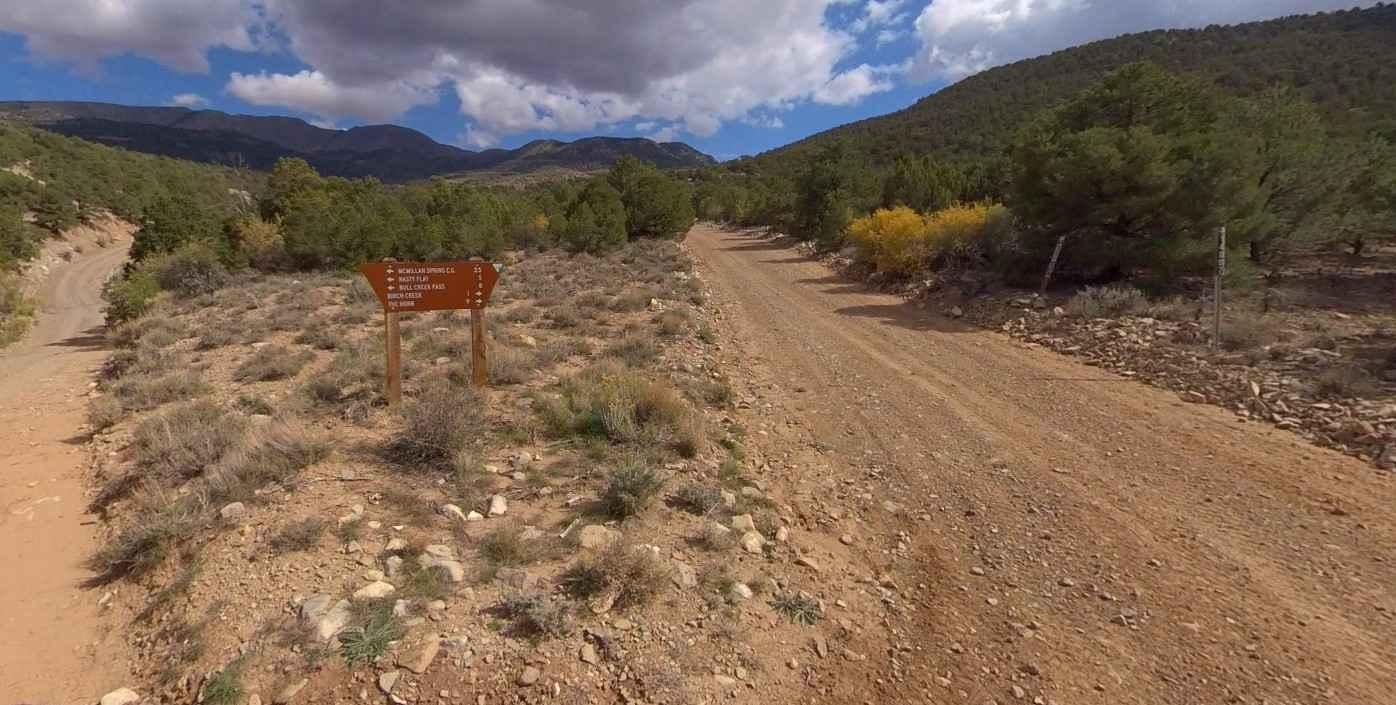
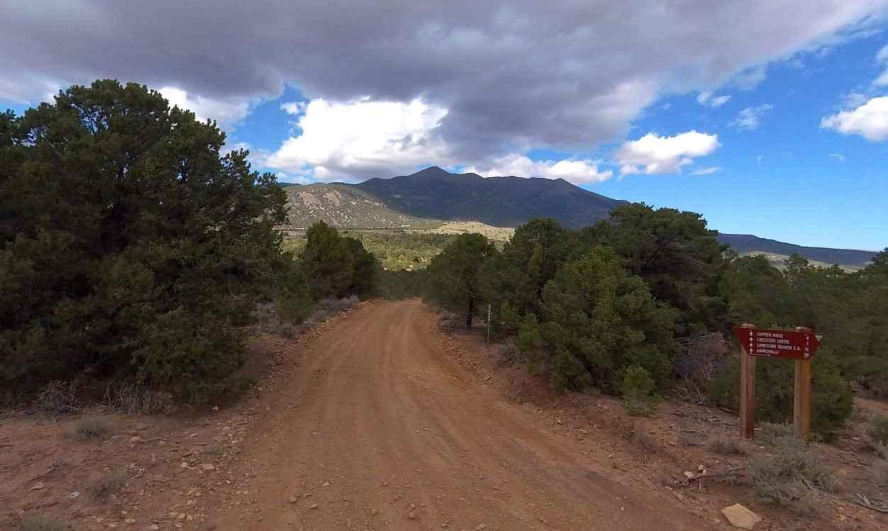
Henry Mountains Road-BLM14500 is an 8.2-mile point-to-point trail rated 2 of 10 located in Garfield County, Utah on the western side of the Henry Mountains. The trail is considered an improved dirt road as it is maintained periodically by the BLM. The road is generally two vehicles wide and runs through scrub brush and Pinyon Pine. Henry Mountains Road is part of the Bull Creek Pass Back Country Byway. The southern end of the road crosses Pennellen Pass, a pass between Mt. Ellen and Mt. Pennell, two of the area's most well-known peaks. Standing majestically in south-central Utah, the Henry Mountains encompass nearly 2 million acres of remote, public land. The mountain range extends from the north shore of Lake Powell to the peak of Mt. Ellen, rising in elevation from 3,700 feet to more than 11,600 feet. Perhaps one of the most notable features of this rugged backcountry is its isolation. If you plan to traverse the Henry Mountains, come prepared with supplies, water, food, and a reliable vehicle. With the exception of certain areas traveled by miners and a few ranchers, the Henry Mountains are largely unexplored. The terrain is managed by the Bureau of Land Management (BLM), but you will rarely see patrolling officials or other explorers in the area. The most common forms of life found in the Henry Mountains are various types of wildlife including Mule Deer, Bison, and Mountain Lions. The current population of bison in the Henry Mountains ranges between 250 and 400 animals. The best time to visit the Henry Mountains is in the summer or fall. The weather is generally mild during these seasons, and there are plenty of activities to keep you busy. Cell phone service is intermittent to non-existent and the nearest services are in Hanksville to the north. There are several gas stations along Highway 276 between the Bullfrog Marina and Hanksville.
Photos of Henry Mountains Road - BLM14500
Difficulty
County dirt road with infrequent or light maintenance after rain or snow, high clearance light duty 4WD may be required.
Status Reports
Henry Mountains Road - BLM14500 can be accessed by the following ride types:
- High-Clearance 4x4
- SUV
- SxS (60")
- ATV (50")
- Dirt Bike
Henry Mountains Road - BLM14500 Map
Popular Trails

BLM 102H (Offshoot of White Tower Trail)

Cottonwood Second Water #018
Buck Camp Hollow - FS 70439
Elk Valley Guard Station
The onX Offroad Difference
onX Offroad combines trail photos, descriptions, difficulty ratings, width restrictions, seasonality, and more in a user-friendly interface. Available on all devices, with offline access and full compatibility with CarPlay and Android Auto. Discover what you’re missing today!