Hells Backbone - NF153
Total Miles
25.0
Technical Rating
Best Time
Spring, Summer, Fall
Trail Type
Full-Width Road
Accessible By
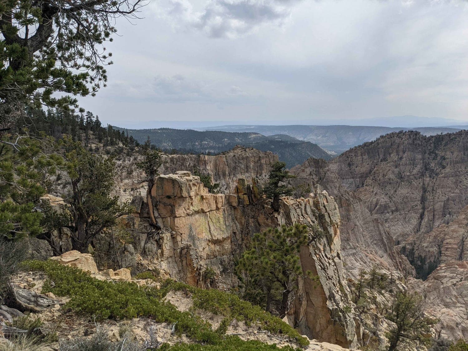
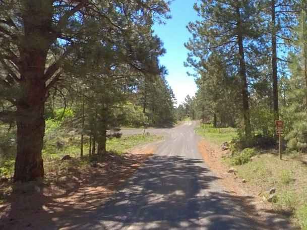
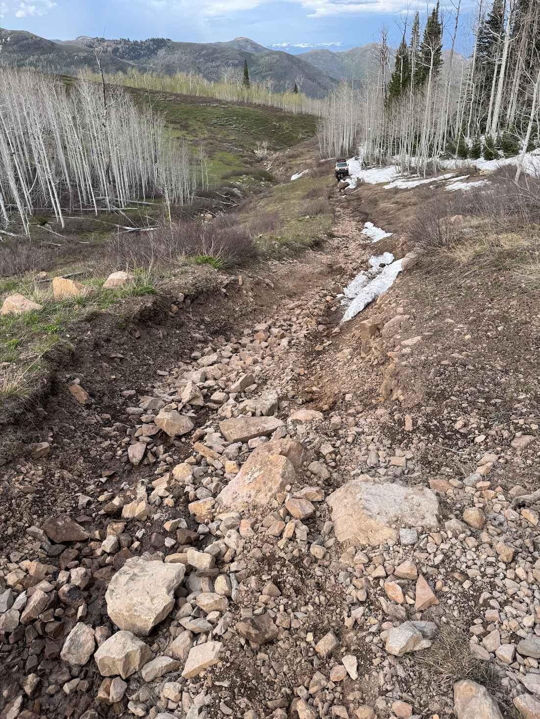
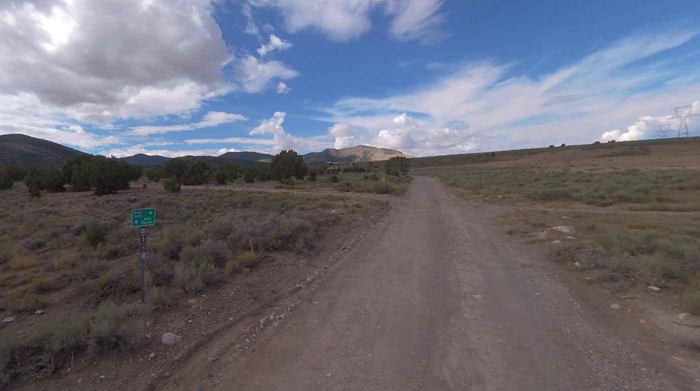
Trail Overview
Hell's Backbone is a rugged area that bridges between towering Boulder Mountain on the north and canyons cut by the Escalante River and its tributaries on the south. The Hell's Backbone Road is a winding route that follows ridges and mountain contours through the area. The road forks from All American Highway 12 near the town of Boulder. From there, it runs west, climbing halfway up Boulder Mountain to connect with the Posey Lake/Pine Creek Road. That road comes north of out the town of Escalante, allowing travelers to complete a 38-mile loop back down to Hwy 12. Hell's Backbone Road is gravel, graded occasionally, and easy for 2wd vehicles during dry weather. It is steep in spots and it can be dangerous during stormy weather. The Hell's Backbone Road is one of the most scenic backways in Utah. In one area, it follows a narrow hog's back with sheer drops to both the right and the left.
Photos of Hells Backbone - NF153
Difficulty
easy gravel road
Status Reports
Hells Backbone - NF153 can be accessed by the following ride types:
- High-Clearance 4x4
- SUV
- SxS (60")
- Dirt Bike
Hells Backbone - NF153 Map
Popular Trails

Mitchell Hollow ATV

Bullion Creek Falls
Broad Canyon Road - UCB823
The onX Offroad Difference
onX Offroad combines trail photos, descriptions, difficulty ratings, width restrictions, seasonality, and more in a user-friendly interface. Available on all devices, with offline access and full compatibility with CarPlay and Android Auto. Discover what you’re missing today!