Off-Road Trails in Utah
Discover off-road trails in Utah
Learn more about Fuller Bottom Road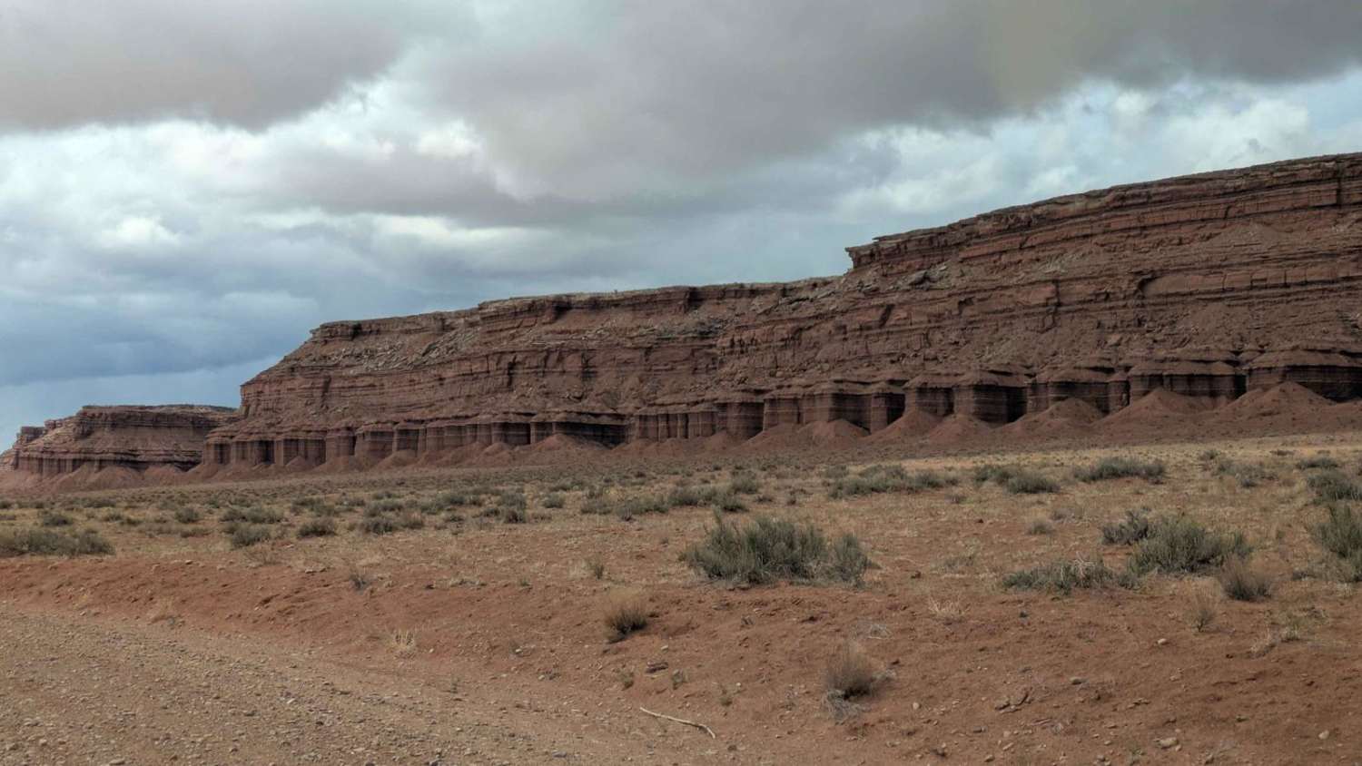
Fuller Bottom Road
Total Miles
5.5
Tech Rating
Easy
Best Time
Spring, Summer, Fall
Learn more about Fun Way Around Temple Mountain
Fun Way Around Temple Mountain
Total Miles
7.1
Tech Rating
Moderate
Best Time
Spring, Fall, Winter
Learn more about Gas & Power Line Traverse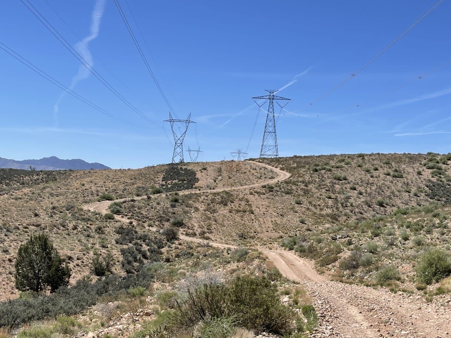
Gas & Power Line Traverse
Total Miles
7.9
Tech Rating
Moderate
Best Time
Fall, Spring
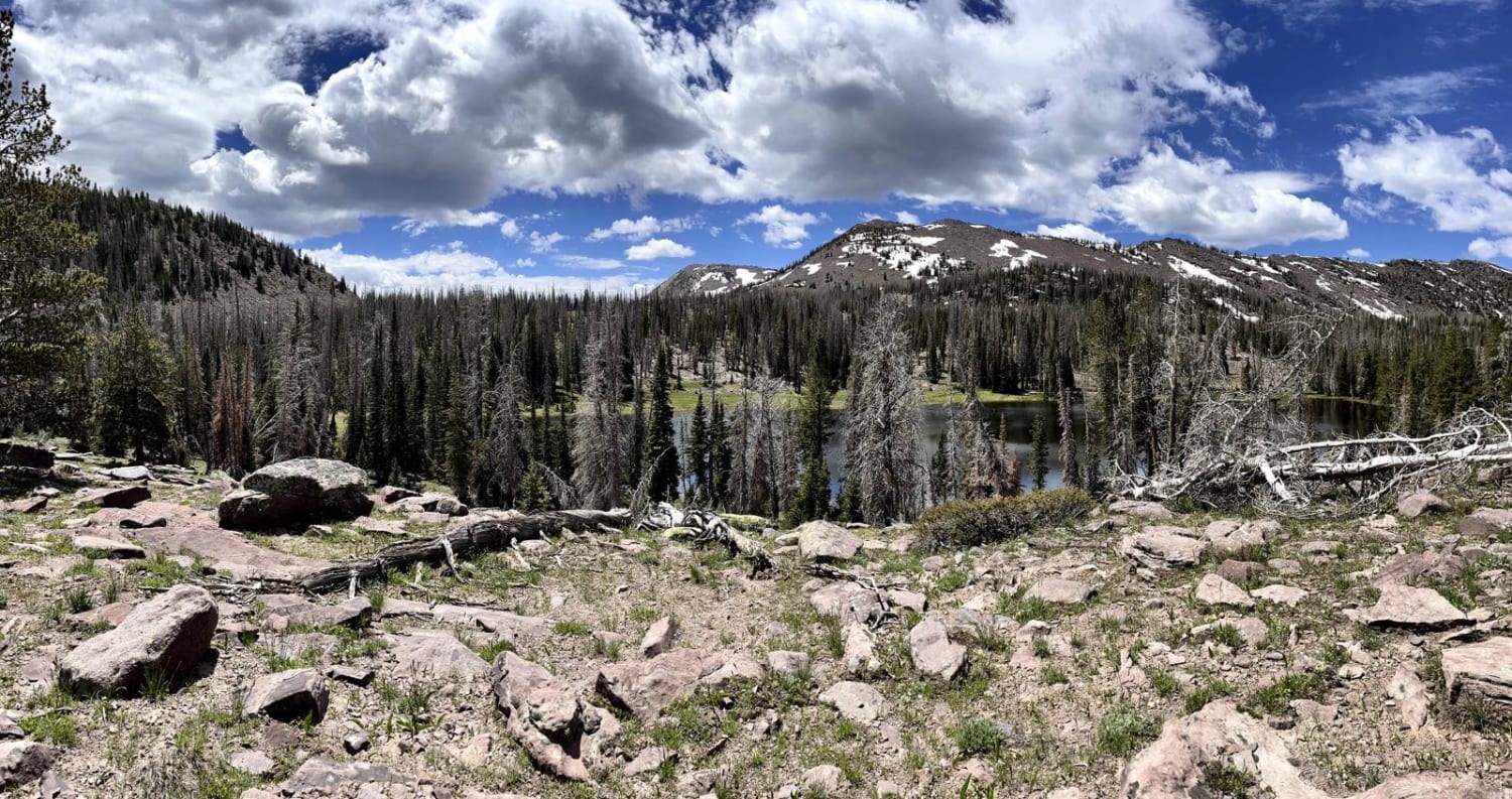
Learn more about Gates Lake Road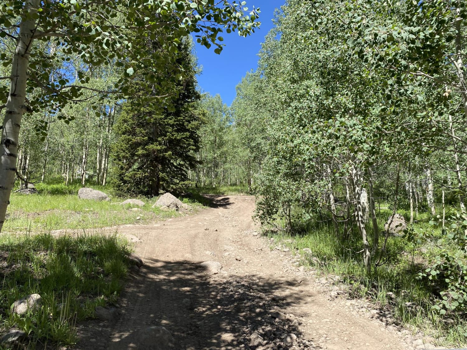
Gates Lake Road
Total Miles
6.6
Tech Rating
Easy
Best Time
Spring, Summer, Fall
Learn more about Gemini Bridges
Gemini Bridges
Total Miles
13.1
Tech Rating
Easy
Best Time
Spring, Summer, Fall
Learn more about Geyser Peak Trail
Geyser Peak Trail
Total Miles
6.4
Tech Rating
Easy
Best Time
Spring, Summer, Fall
Learn more about Giant Aspen Trail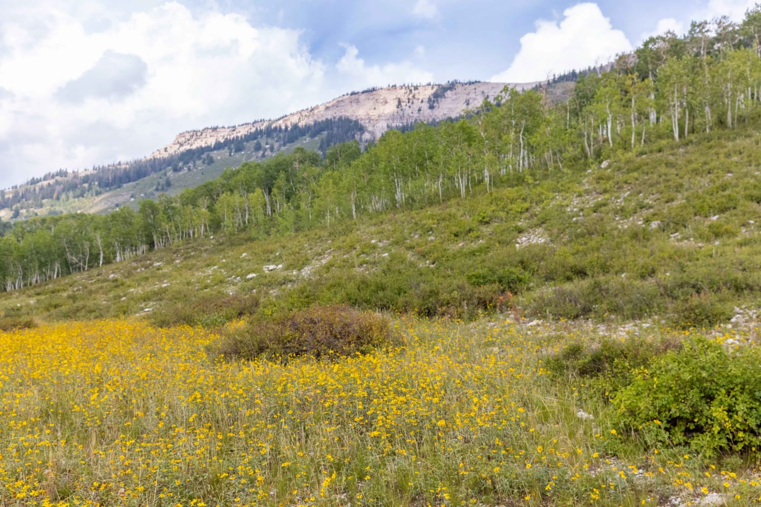
Giant Aspen Trail
Total Miles
2.0
Tech Rating
Moderate
Best Time
Fall, Summer, Spring
Learn more about Gillis Ranch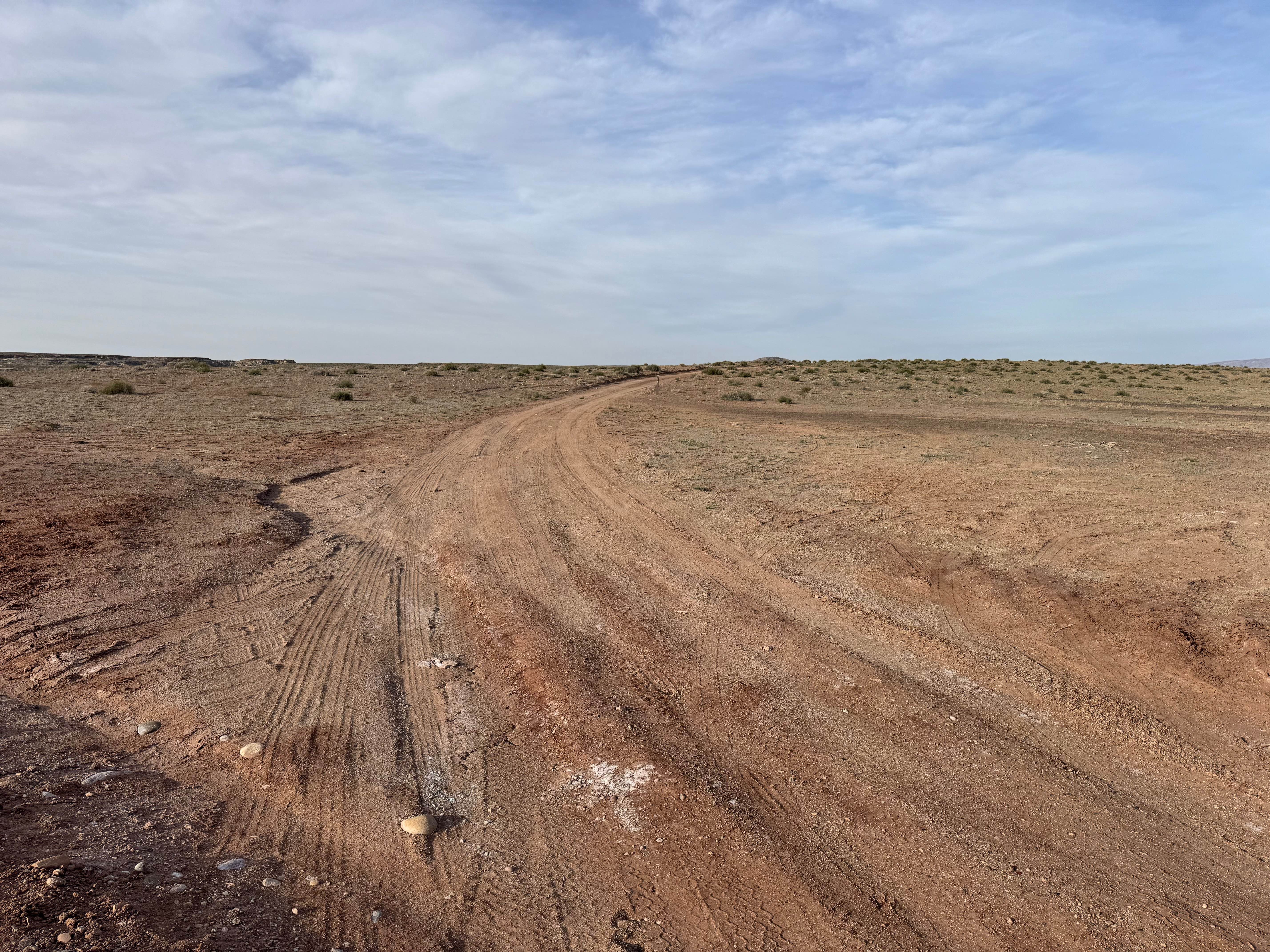
Gillis Ranch
Total Miles
15.8
Tech Rating
Moderate
Best Time
Spring, Summer, Fall, Winter
Learn more about Gillis Ranch Road (BLM 9200)
Gillis Ranch Road (BLM 9200)
Total Miles
12.5
Tech Rating
Easy
Best Time
Spring, Summer, Fall
Learn more about Glass Eye Spring-BLM 564-KC 3355
Glass Eye Spring-BLM 564-KC 3355
Total Miles
2.8
Tech Rating
Easy
Best Time
Spring, Summer, Fall, Winter
Learn more about Glen Canyon Rec Road 340-230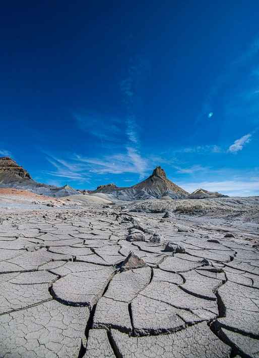
Glen Canyon Rec Road 340-230
Total Miles
4.2
Tech Rating
Easy
Best Time
Spring, Summer, Fall
Learn more about Glendale Bench Road (BLM1854)
Glendale Bench Road (BLM1854)
Total Miles
13.5
Tech Rating
Easy
Best Time
Spring, Summer, Fall, Winter
Learn more about Glenwood Access to Fishlake Natl Forest - FS 40068
Glenwood Access to Fishlake Natl Forest - FS 40068
Total Miles
14.0
Tech Rating
Easy
Best Time
Summer, Spring, Fall
Learn more about Goat Springs-Devil's Arm Chair-FSR40500
Goat Springs-Devil's Arm Chair-FSR40500
Total Miles
6.2
Tech Rating
Easy
Best Time
Spring, Summer, Fall
Learn more about Goblin Valley Cutoff Rd
Goblin Valley Cutoff Rd
Total Miles
5.8
Tech Rating
Easy
Best Time
Spring, Fall, Winter, Summer
Learn more about Gold Gulch Loop (FS# 41082)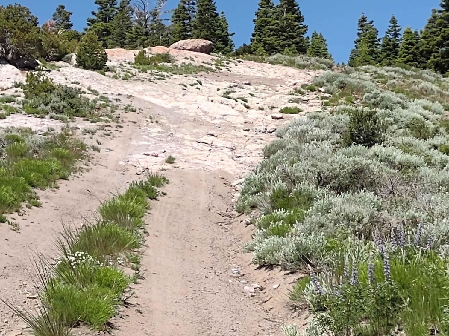
Gold Gulch Loop (FS# 41082)
Total Miles
1.0
Tech Rating
Easy
Best Time
Summer, Fall
ATV trails in Utah

Learn more about 14 Mile Road
14 Mile Road
Total Miles
14.7
Tech Rating
Easy
Best Time
Spring, Summer, Fall, Winter


UTV/side-by-side trails in Utah
Learn more about 14 Mile Road
14 Mile Road
Total Miles
14.7
Tech Rating
Easy
Best Time
Spring, Summer, Fall, Winter
The onX Offroad Difference
onX Offroad combines trail photos, descriptions, difficulty ratings, width restrictions, seasonality, and more in a user-friendly interface. Available on all devices, with offline access and full compatibility with CarPlay and Android Auto. Discover what you’re missing today!