Fuller Bottom Road
Total Miles
5.5
Technical Rating
Best Time
Spring, Summer, Fall
Trail Type
Full-Width Road
Accessible By
Trail Overview
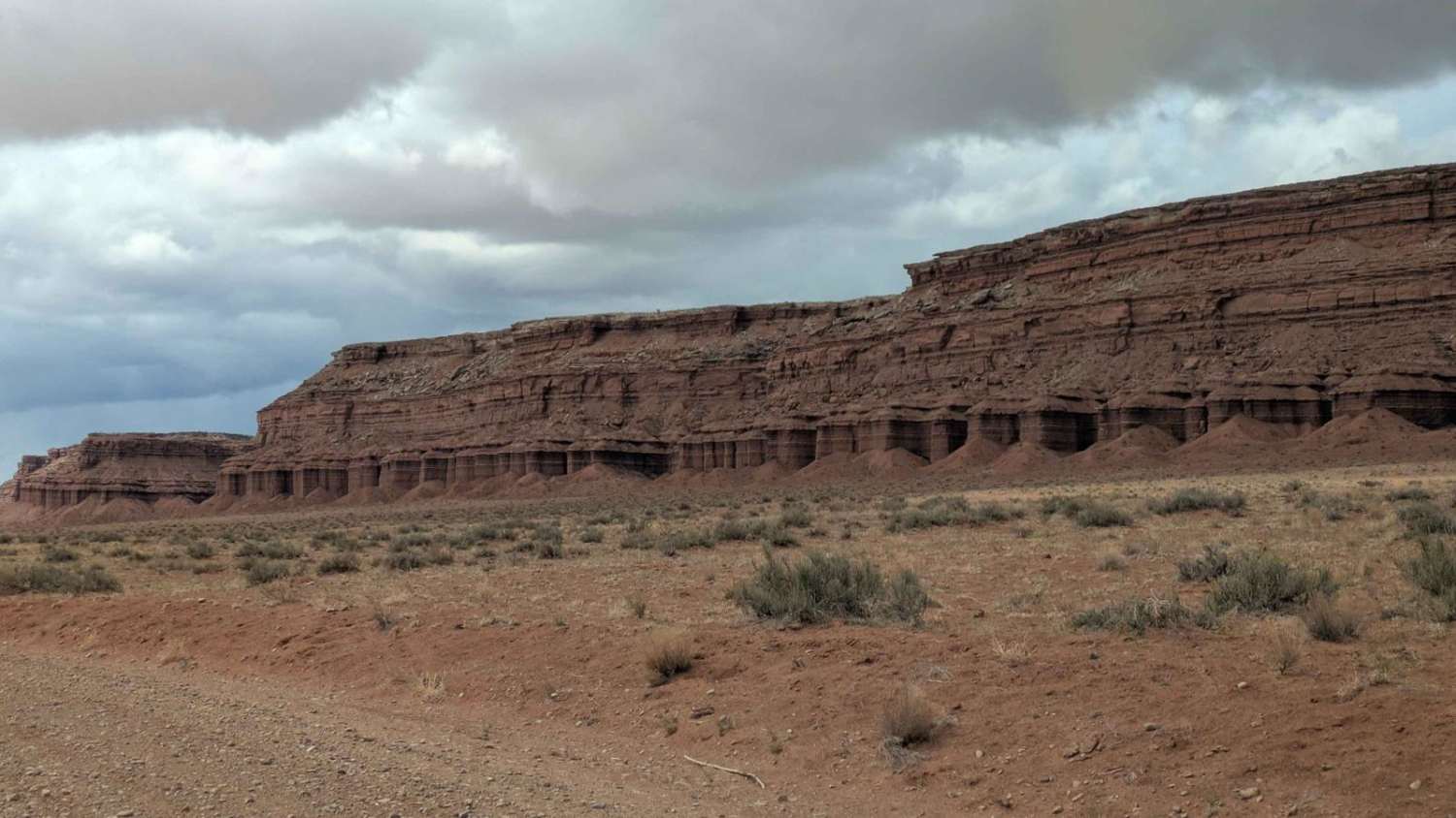
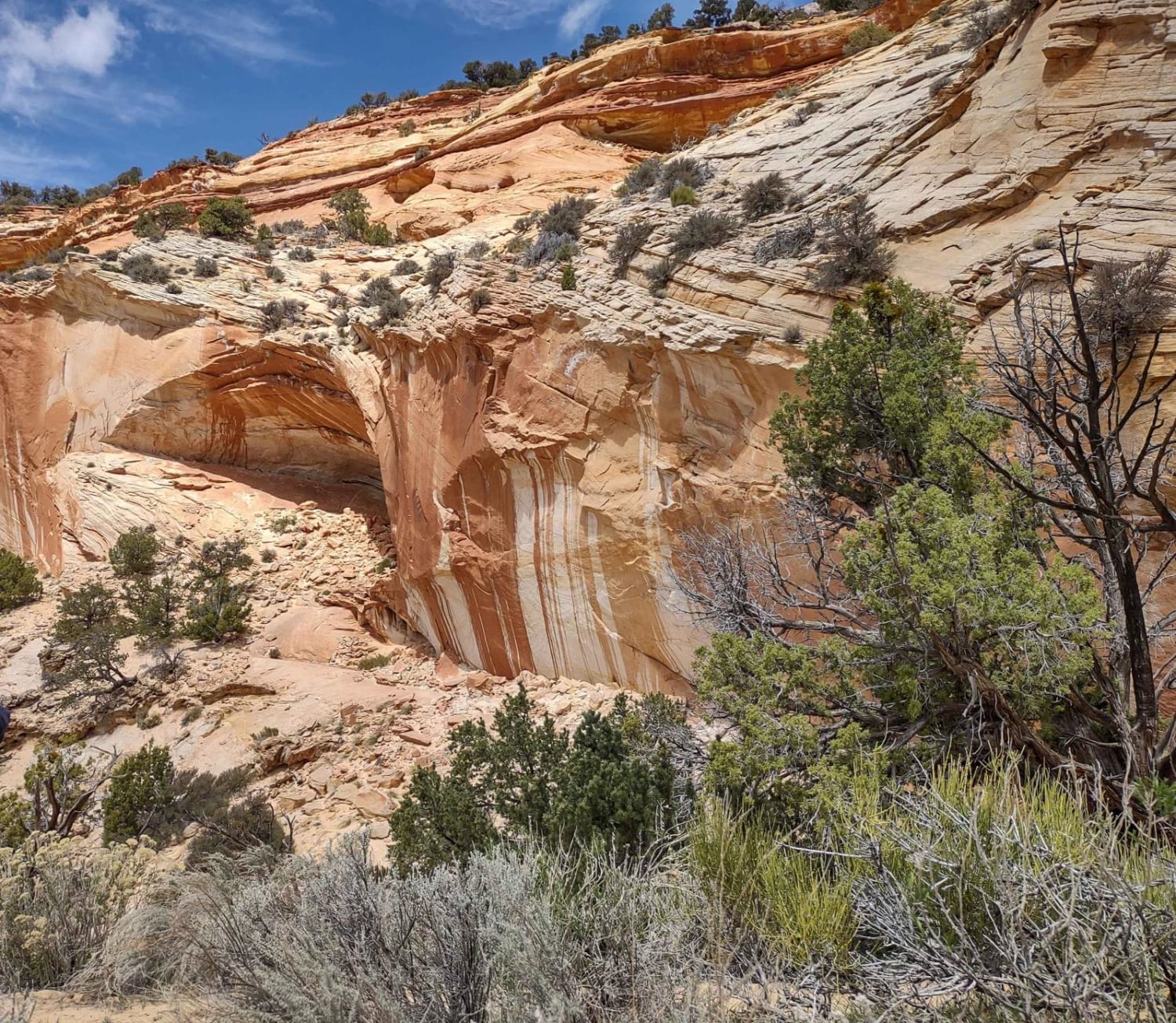
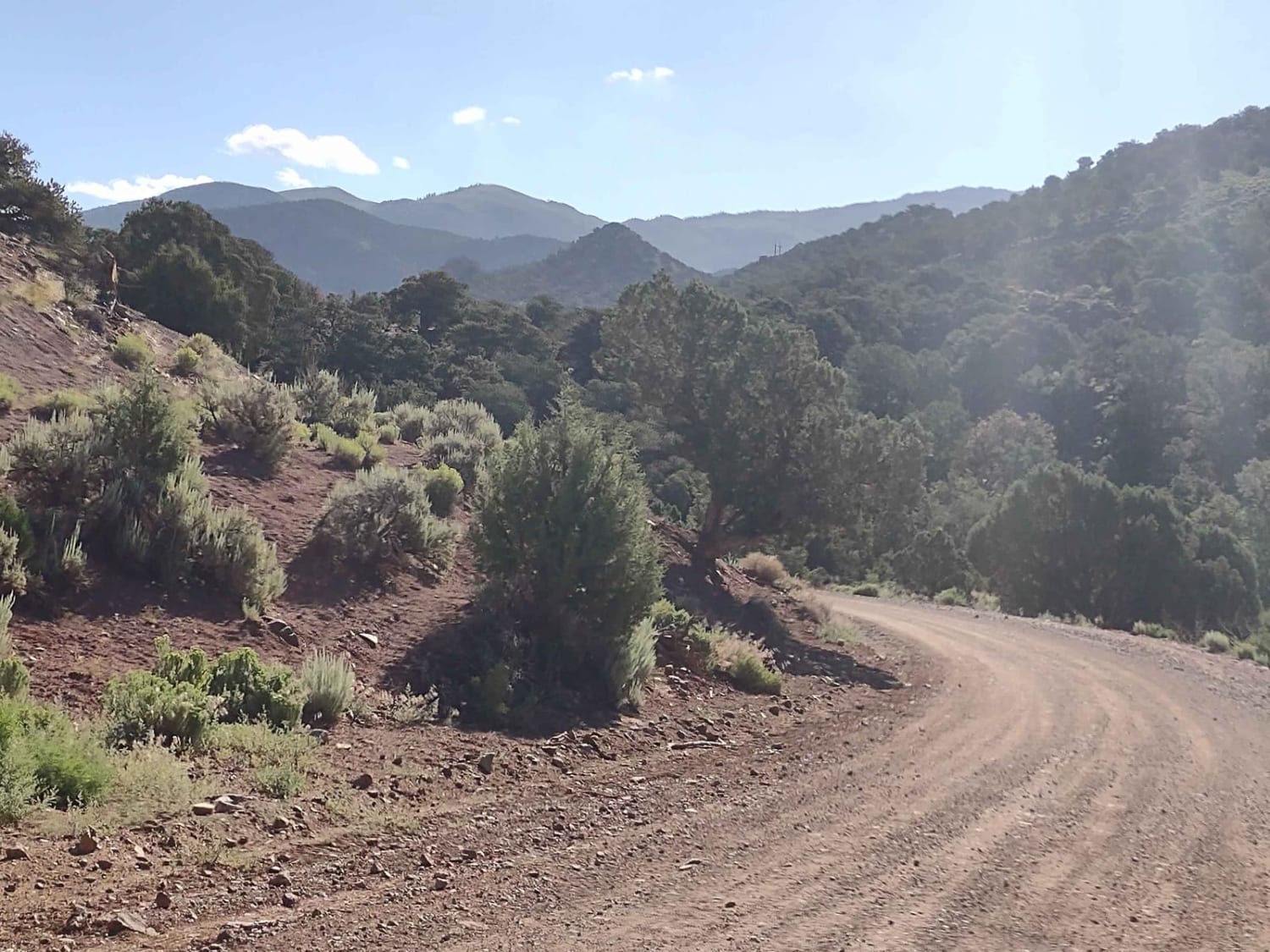
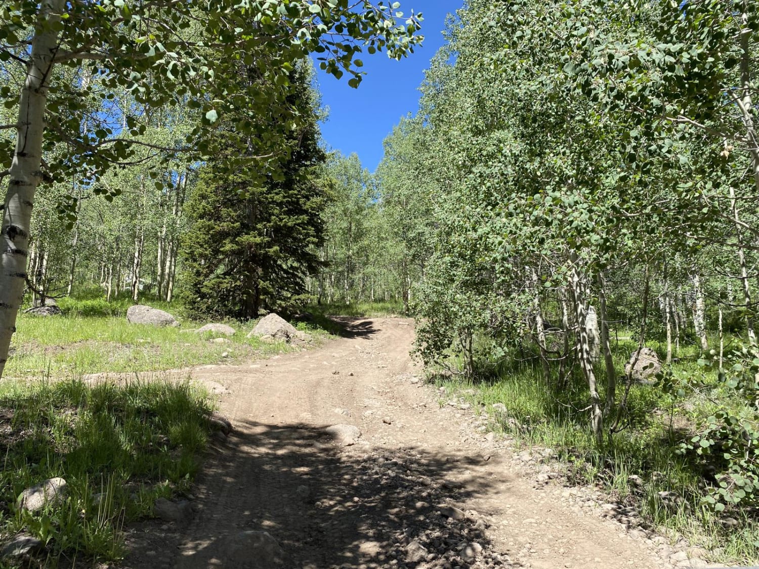
Fuller Bottom Road descends 350 feet in just over 5.5 miles. This relatively wide track is mostly sandy with small rocks offering large open views of the surrounding area and red rock formations. The trail ends at the San Rafael River Crossing which is easy to find as it is surrounded by trees. The river crossing can be varying levels depending on the time of the year and recent weather.
Photos of Fuller Bottom Road

Difficulty
Relatively easy with various sandy wash crossings a few off-camber sections and the river crossing at the end.
History
Fuller Bottom Road, leading to the trailhead for hiking or floating through the Little Grand Canyon in the San Rafael Swell, has a history tied to the San Rafael River and its water rights, with properties along the river purchased by UP&L and later donated to the Utah Division of Wildlife Resources (UDWR).
Status Reports
Fuller Bottom Road can be accessed by the following ride types:
- High-Clearance 4x4
- SUV
Fuller Bottom Road Map
Popular Trails
Sidewinder - Mansard Petroglyphs (BLM 104)
Monroe Mountain Road
Buckhorn Draw to Wedge Overlook
Gates Lake Road
The onX Offroad Difference
onX Offroad combines trail photos, descriptions, difficulty ratings, width restrictions, seasonality, and more in a user-friendly interface. Available on all devices, with offline access and full compatibility with CarPlay and Android Auto. Discover what you’re missing today!