Glen Canyon Rec Road 340-230
Total Miles
4.2
Technical Rating
Best Time
Spring, Summer, Fall
Trail Type
Full-Width Road
Accessible By
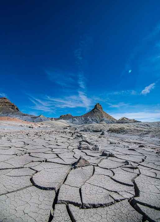
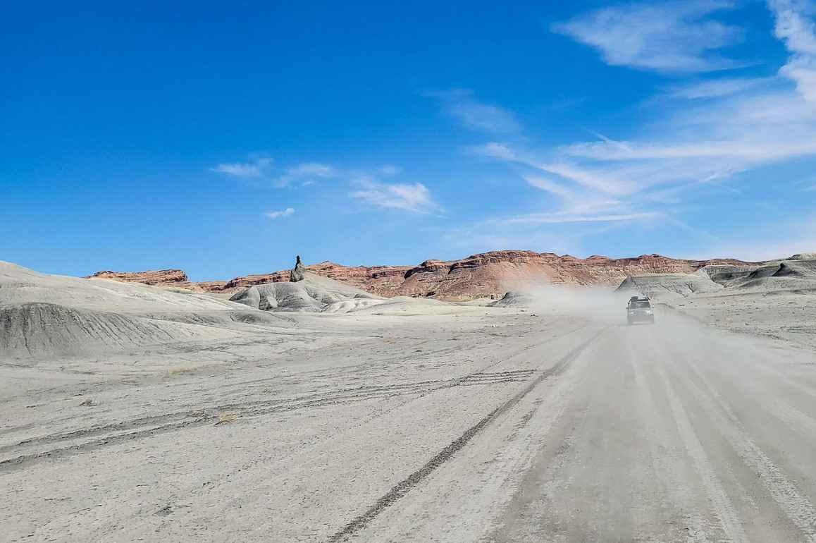
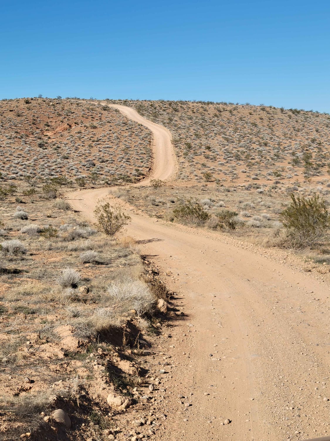
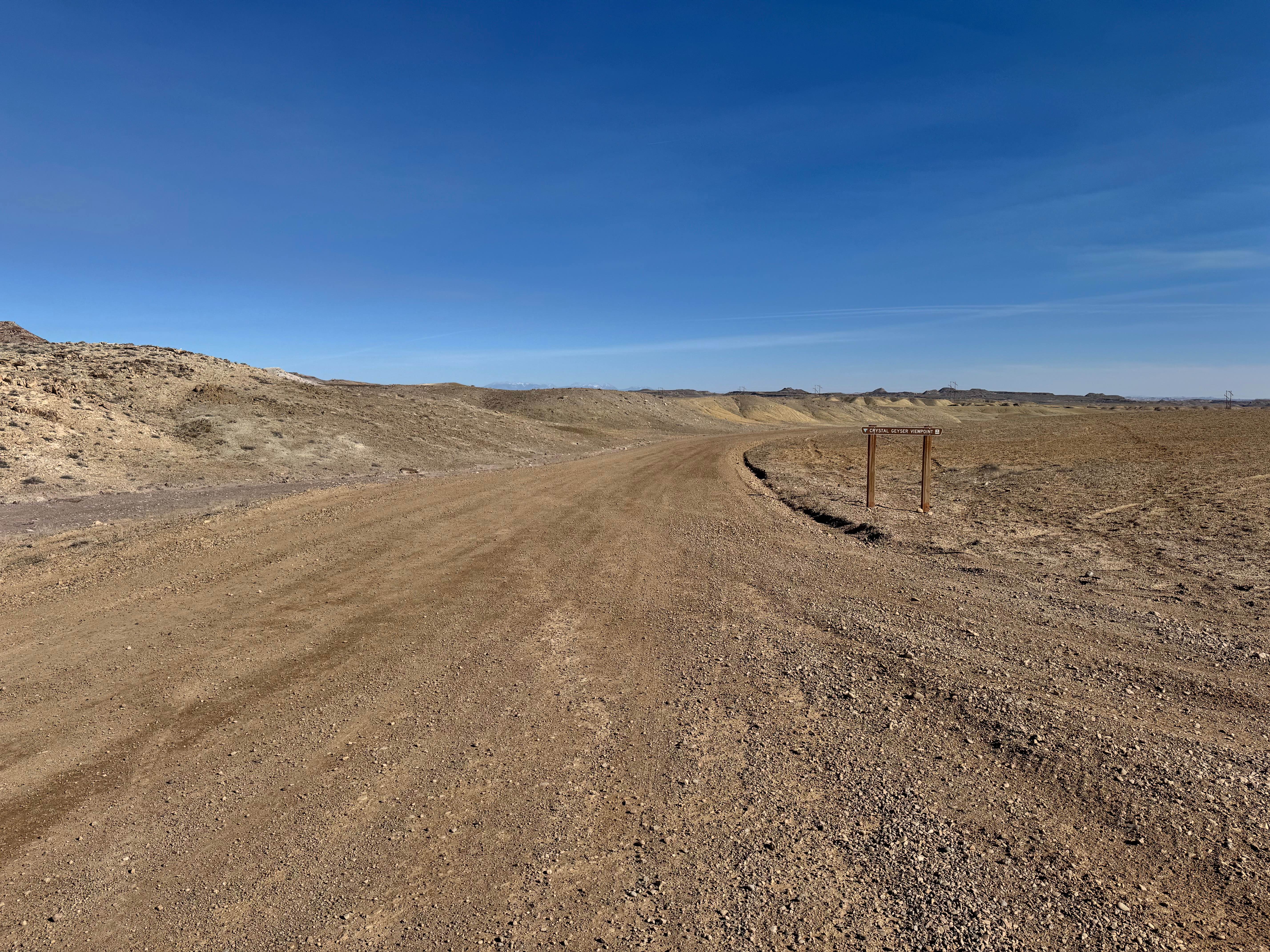
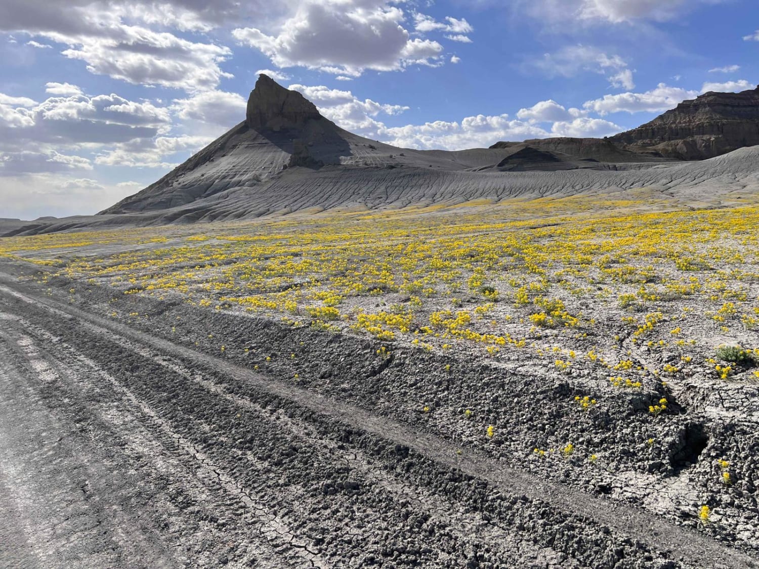
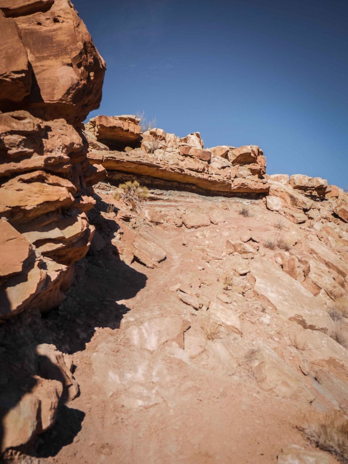
Trail Overview
Wide, graded gravel road along the Northern boundary of the Glen Canyon National Recreation Area used to access Alstrom Point and other scenic spots along Lake Powell and into Grand Staircase Escalante to the North. This is an easy road when dry but becomes difficult after rain, as there are many dips where water from arroyos washes across the road.
Photos of Glen Canyon Rec Road 340-230
Difficulty
easy gravel road
Status Reports
Glen Canyon Rec Road 340-230 can be accessed by the following ride types:
- High-Clearance 4x4
- SUV
Glen Canyon Rec Road 340-230 Map
Popular Trails
Smokey Mountain Road (BLM330)
Link 4 (Difficult)
The onX Offroad Difference
onX Offroad combines trail photos, descriptions, difficulty ratings, width restrictions, seasonality, and more in a user-friendly interface. Available on all devices, with offline access and full compatibility with CarPlay and Android Auto. Discover what you’re missing today!