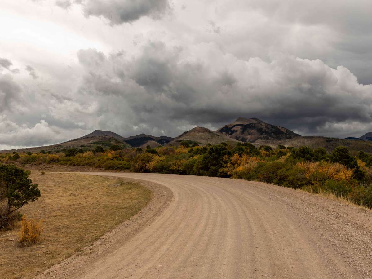
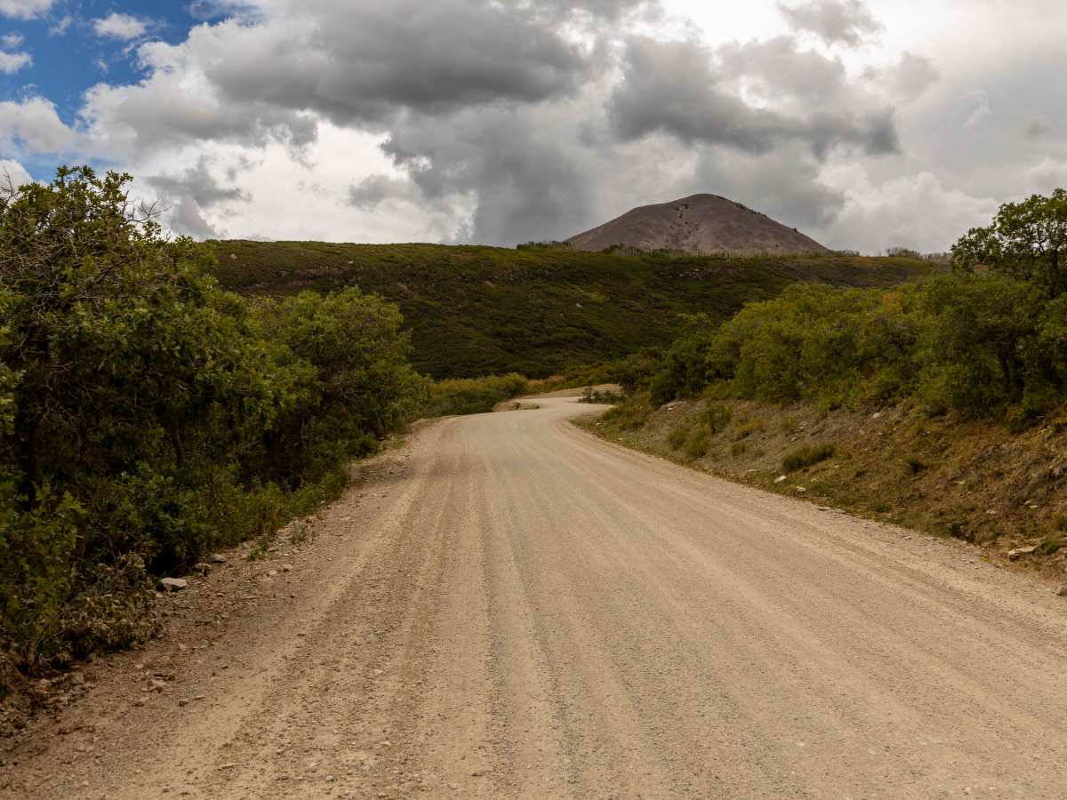
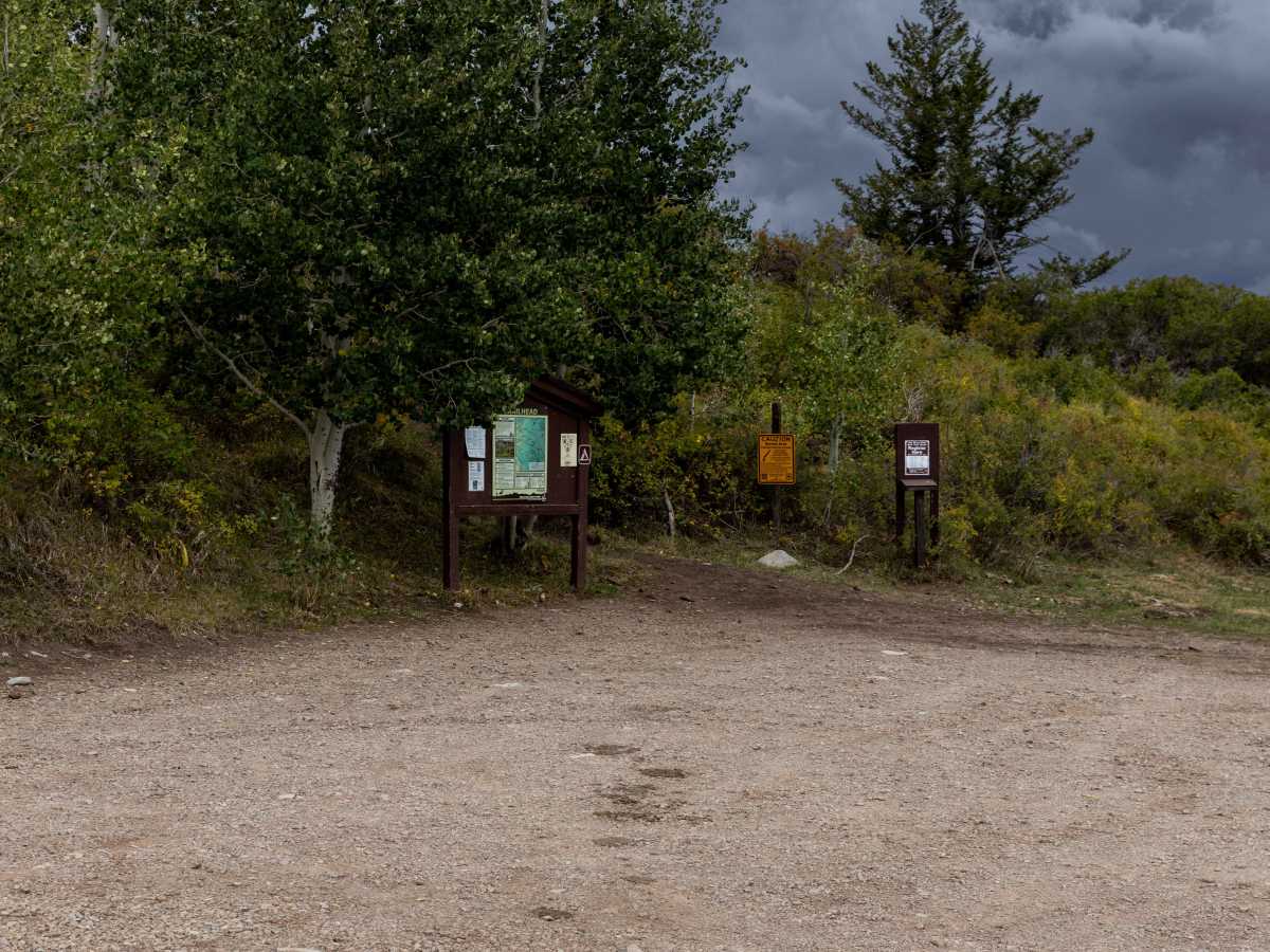
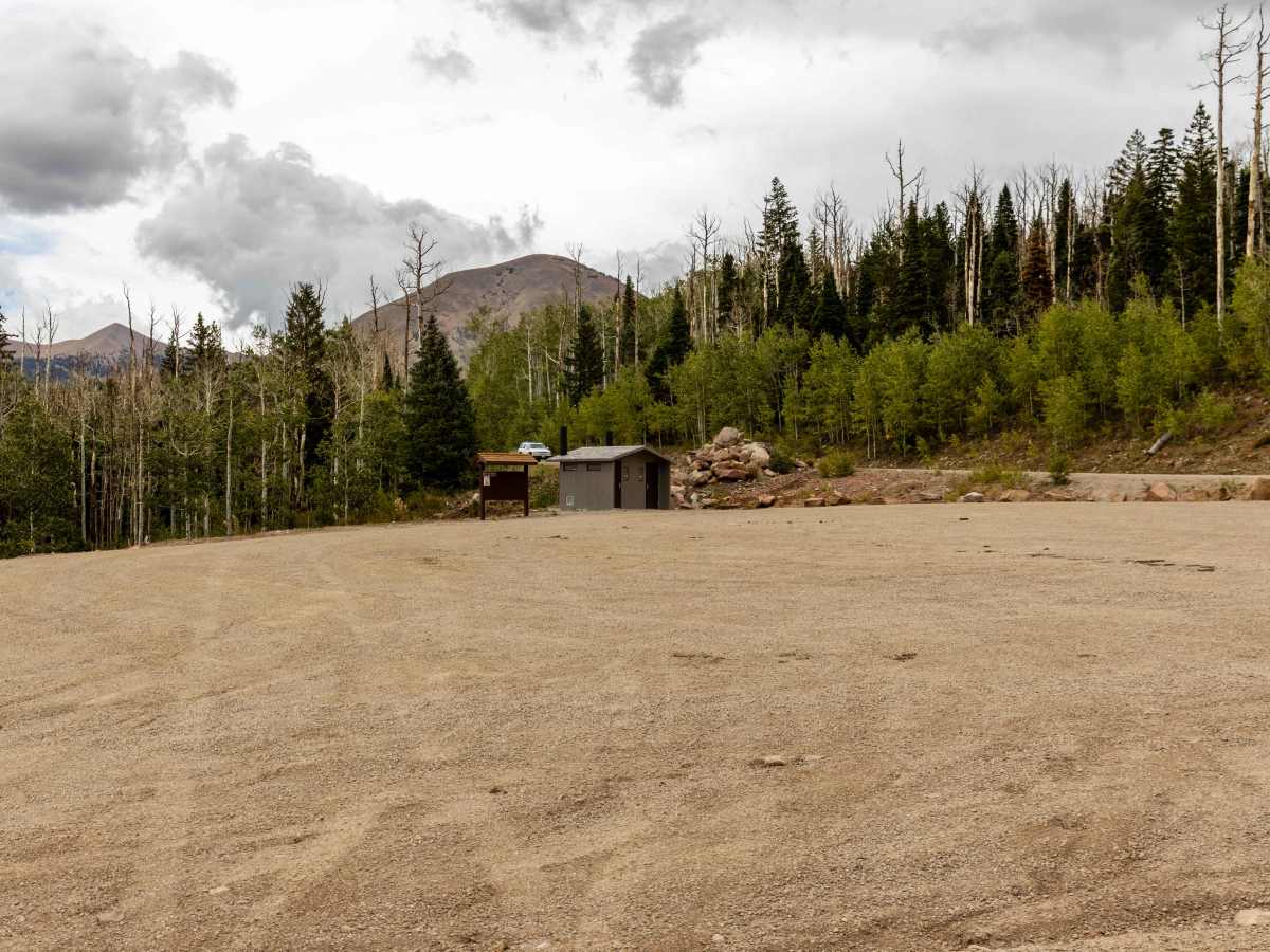
Trail Overview
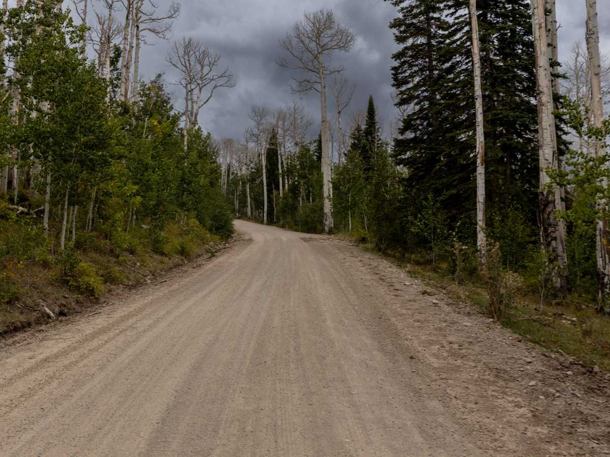
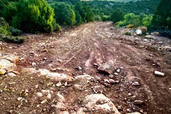
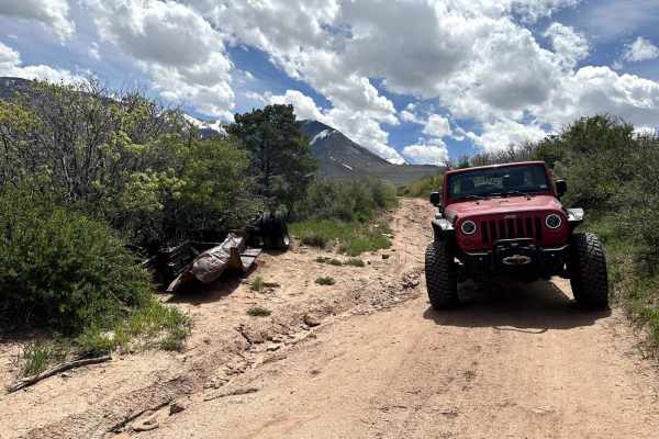
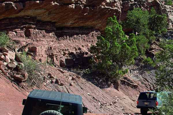
Geyser Pass is a wide mountain road that climbs into the La Sal Mountains southeast of Moab. The route is generally straightforward with no obstacles, though it includes a series of switchbacks as it gains elevation. Expect some washboarded stretches and intermittent cellular service. The road provides access to several offshoot trails and dispersed campsites along the way, with numerous trailheads for hiking and mountain biking branching from the pass. Geyser Pass takes its name from Al Geyser, a local settler, not from geothermal features. The route crosses high alpine terrain in the La Sal Mountains, a laccolithic range formed when magma intruded into sedimentary rock layers during the Oligocene epoch, around 25–28 million years ago. Today, the pass serves as an important recreational corridor, giving access to the La Sal National Forest. In summer, visitors come for cool alpine meadows, aspen groves, and wildlife, while in winter, the area transforms into a hub for cross-country skiing and backcountry snowshoeing.
Difficulty
This is a semi-maintained road, though it is not known how often this road is graded. There are no major obstacles along this road. Cell service is intermittent, so offline maps are recommended.
History
The history of the Geyser Pass trail is rooted in its name's origin: a cattleman named Al Geyser grazed his livestock in the area in the 1880s, not from any natural geyser. The pass, within the La Sal Range near Moab, became a route for 4x4 vehicles, motorcycles, and mountain bikes, notably serving as a key section of the challenging Whole Enchilada mountain biking trail. The pass has evolved from its historical grazing roots into a popular scenic and off-road recreation area, with its trails offering access to high-altitude viewpoints and surrounding wilderness areas.