brandt sellari
Jul 17, 2026
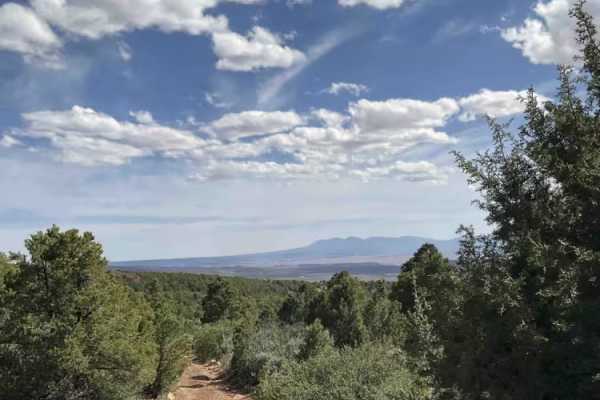
2026 Ford Bronco
Open
NormalDusty
Dru D
Jul 10, 2026
Open
Rough/Deteriorated
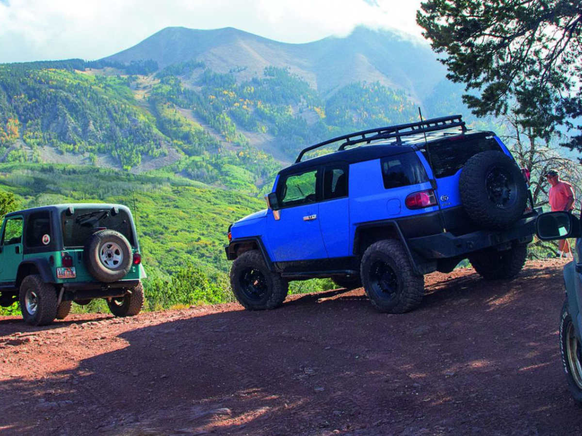
Definitely stronger than a 2/10 between the high clearance signs maybe pushing 4/10 there. Did not require boards but carefully picked some lines. Big boulder in middle of switchbacks section was able to just sneak around on the trail edge side. Very slow moving until out of high clearance. Probably 2hr or so total end to end. Started off 46 and finished back in Moab. About 25° cooler up there so it was worth beating the heat.
Beaver J
Jul 06, 2026
2018 Toyota Tacom
Open
Rough/Deteriorated
OnX, please update this trail rating to indicate that the northwestern portion on the Moab side is much, much rougher than the La Sal side. It really should be two different trails. The La Sal side could be passable with a high clearance 2wd with minimal difficulty but the Moab side is an ATV trail. Luckily I found a spot to turn around near the La Sal mines switchbacks but i wrecked one of my running boards along the way.
Johnny Knoxville
Jun 16, 2026
Open
Rough/Deteriorated
6 of us got tired of the thick air in Moab and decided to seek higher ground on dirtbikes. It ain't easy, but we had a great time.
Alexander Armintor
Jun 08, 2026
Open
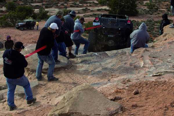
Don’t be fooled by the 2 rating. Whoever rated this trail a 2 has never been on it. A 2 rating is accurate for the east side to Medicine Lake, but once you go past the High Clearance 4 wheel drive sign it becomes much more than that. There is a large boulder sticking up about 2 ft in the middle of the trail on a serious shelf that the jeeps in front of me went around on the shelf side, I looked at their tracks and they were touching the drop off - if it gives it’s good night Irene. A full size truck won’t make it. I wound up building a ramp to get over the obstacle. There are few places to turn around if you meet opposite traffic.
Jody Shaw
May 26, 2026
2019 Jeep Wrangler
Open
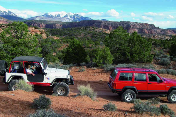
Had planned to go up from 46 side and back. Pictures attached of LaSal Creek. It was starting to rain so we did not cross. Lots of rocks. Looked like an easy cross but didn’t want to take the chance of being on the wrong side of the creek with rain threatening. We did not see any other people. Beautiful stream to have lunch by.
Jon Gruen
May 24, 2026
Open
Normal
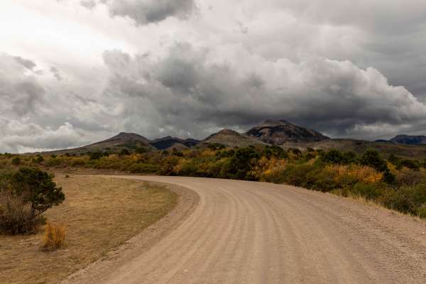
Side going into Moab is much rougher, other (east) side is just a gravel road. All clear.
Dustin Hess
May 15, 2026
2022 Rivian R1T
Open
DustyRough/Deteriorated
Strongly disagree with the 2/10 rating, this is much closer to a 4/5 in its current state. Several foot high rock in the middle of a very narrow section, large hidden rocks in water. In total our group lost a tire and had a severely dented skidplate. This trail was fun, but is FAR from a 2
Sarah Ingham
May 03, 2026
Open
Rough/Deteriorated
Disagree with the 2 rating - there were quite a few obstacles I would rate higher. Although most of the trail would be a 2, there were a few areas where our longer wheel base (Jeep Gladiator) required careful line choices and rock stacking. Also quite a few steep, loose rock sections with large rocks that again required careful line choice. A handful of off camber sections. The largest obstacle was the large rock in the picture right in the center of the trail. Going on the “hill side” requires you to be very very close to the cliff edge, but the inside will put you pretty off camber. Could be rather intimidating for someone looking for an easy Level 2 rated trail.
Lowell Dale
Apr 21, 2026
Open
Rough/Deteriorated
If this is rated a 2 I'd had to see what a 10 is.
Made it to around 8910' right around the switch backs. Got a little hairy so we turned around at the first possible chance.. Got flagged down my some motorcyclists that needed help and rescued one guy that had gone off the trail up above us.
John Lyu
Apr 12, 2026
Open
Muddy/WetSnow/Ice
Snow at the highest point of the pass. I traveled from the Rim trail side and had to navigate some snow piles. Follow existing tracks with momentum and you should be fine. The snow should be clear in a couple of weeks pending future weather
Luis Holguin
Apr 02, 2026
Obstructed
Downed Tree
Nwabi
Mar 29, 2026
Obstructed
Deep Snow
From the east (154 or RimRocker), clear path as you climb up over 9500 feet. Toward the summit, there are sections of deep, slushy snow, 3+ feet in some sections. It took 3 hours to a mile toward the summit. We made it to the summit then turned around as there were more snow drifts on the descent (west side of pass).
Joe
Mar 14, 2026
2022 Ford Bronco
Obstructed
Snowed in. From the west you can make just past the loose rock section. As soon as it goes into the forest section it's blocked by snow.
Matt M
Oct 27, 2025
Open
Drove La Sal Pass as part of the Rim Rocker trail in a mostly stock 4Runner - it's very rough but should be doable in any high-clearance 4x4.