Geyser Peak Trail
Total Miles
6.4
Technical Rating
Best Time
Spring, Summer, Fall
Trail Type
50" Trail
Accessible By
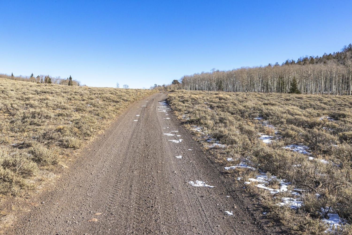
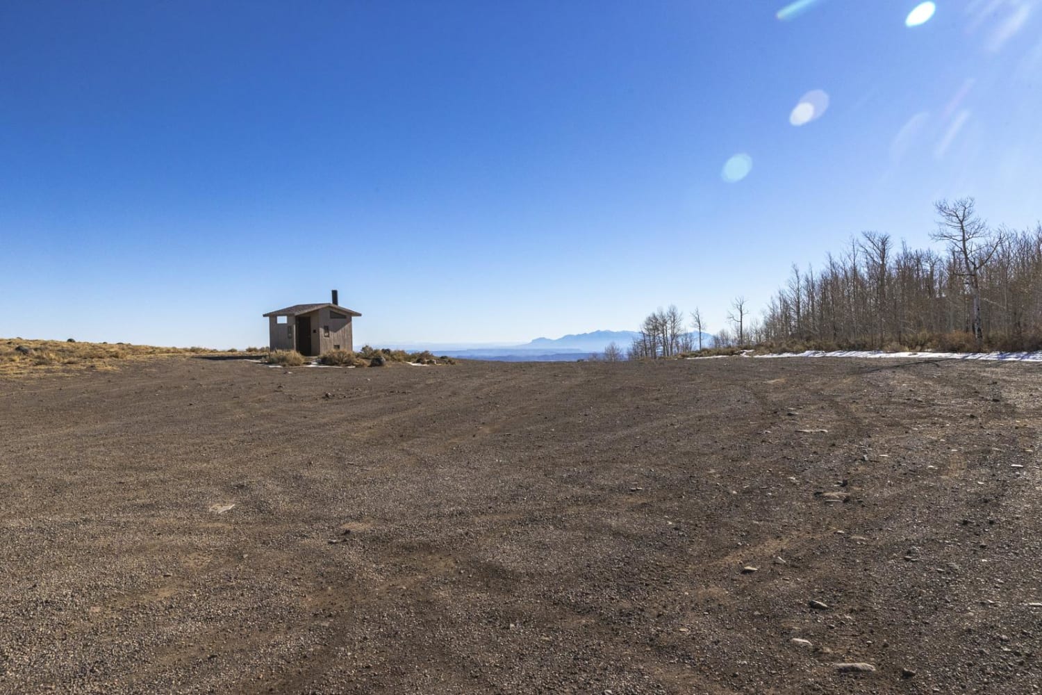
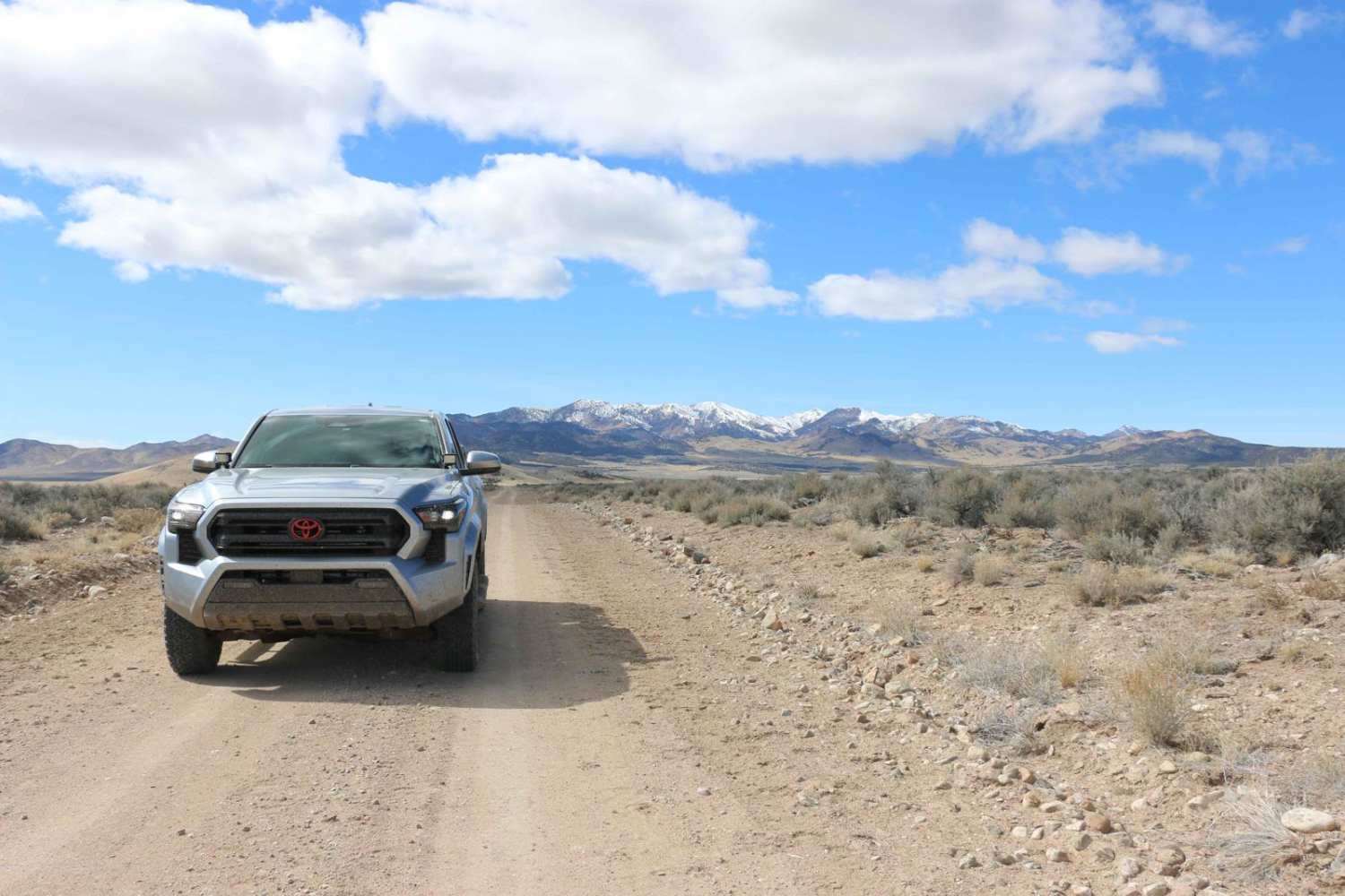
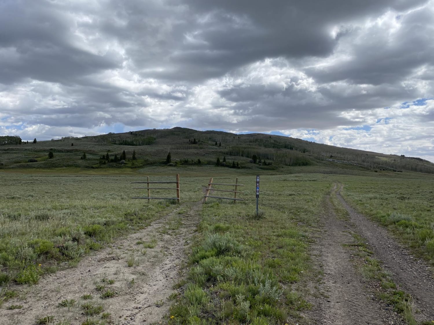
Trail Overview
The Geyser Peak trail extends for six miles along the eastern side of Geyser Peak. The south end the trail meets with the Elkhorn campground road. On the north end it meets up to Hwy 72. The trail offers incredible views of the San Rafael Swell to the east as it crosses through differing areas of vegetation consisting of pine or quakie trees, sagebrush, oak and grasses.
Photos of Geyser Peak Trail
Difficulty
The trail can be rough when wet, otherwise is very easy.
Status Reports
Geyser Peak Trail can be accessed by the following ride types:
- ATV (50")
- Dirt Bike
Geyser Peak Trail Map
Popular Trails
Petroglyph Experience (103C/1103)
Tropic Reservoir Road (Private Easment Section)
Last Chance Road
The onX Offroad Difference
onX Offroad combines trail photos, descriptions, difficulty ratings, width restrictions, seasonality, and more in a user-friendly interface. Available on all devices, with offline access and full compatibility with CarPlay and Android Auto. Discover what you’re missing today!