Off-Road Trails in Utah
Discover off-road trails in Utah
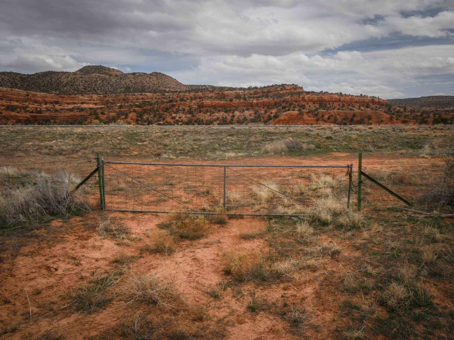
Learn more about Far East Access Road to Hurricane Wash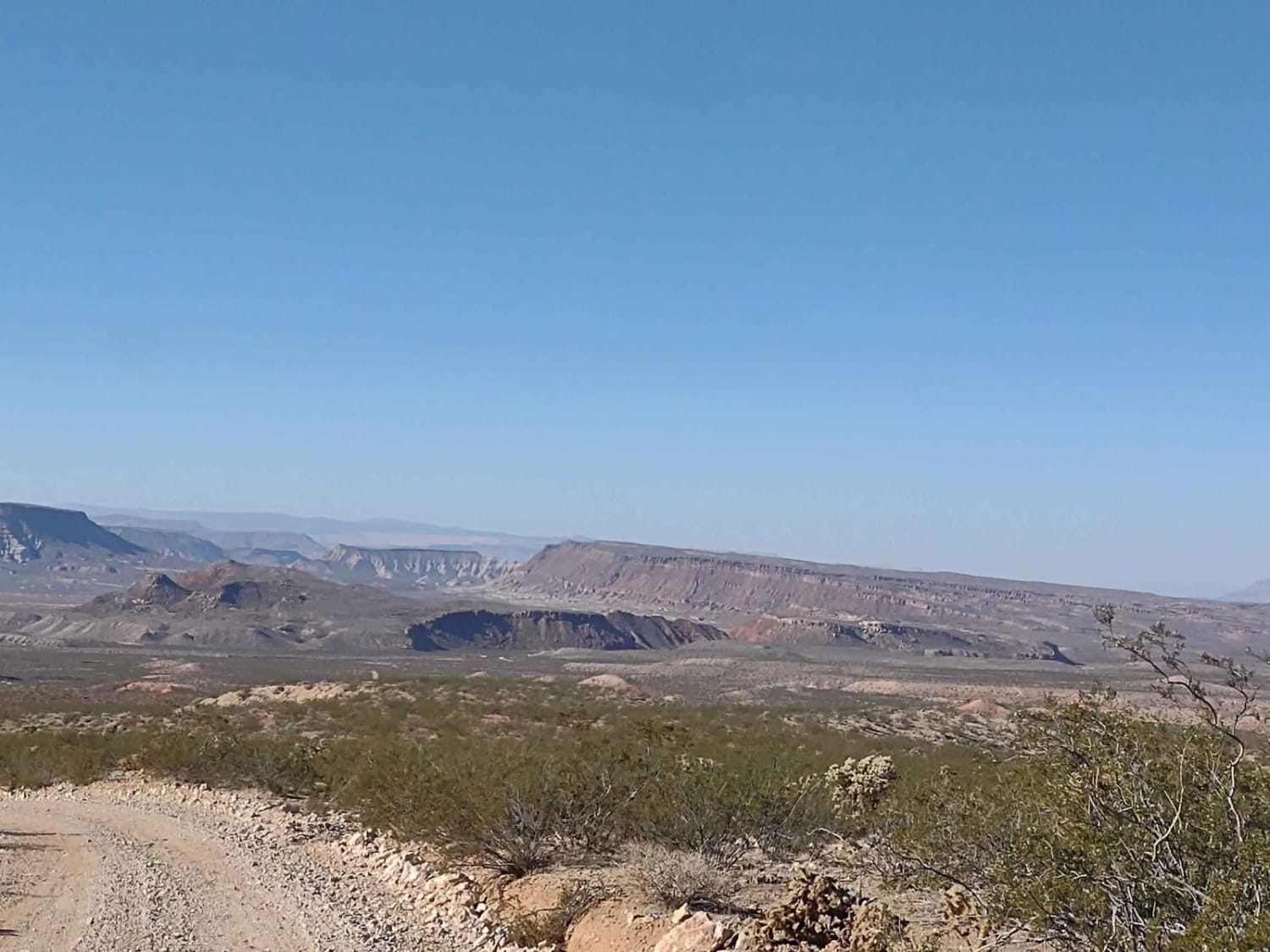
Far East Access Road to Hurricane Wash
Total Miles
9.0
Tech Rating
Easy
Best Time
Spring, Summer, Fall, Winter
Learn more about Farley Road
Farley Road
Total Miles
3.3
Tech Rating
Easy
Best Time
Spring, Summer, Fall, Winter
Learn more about Farmington Canyon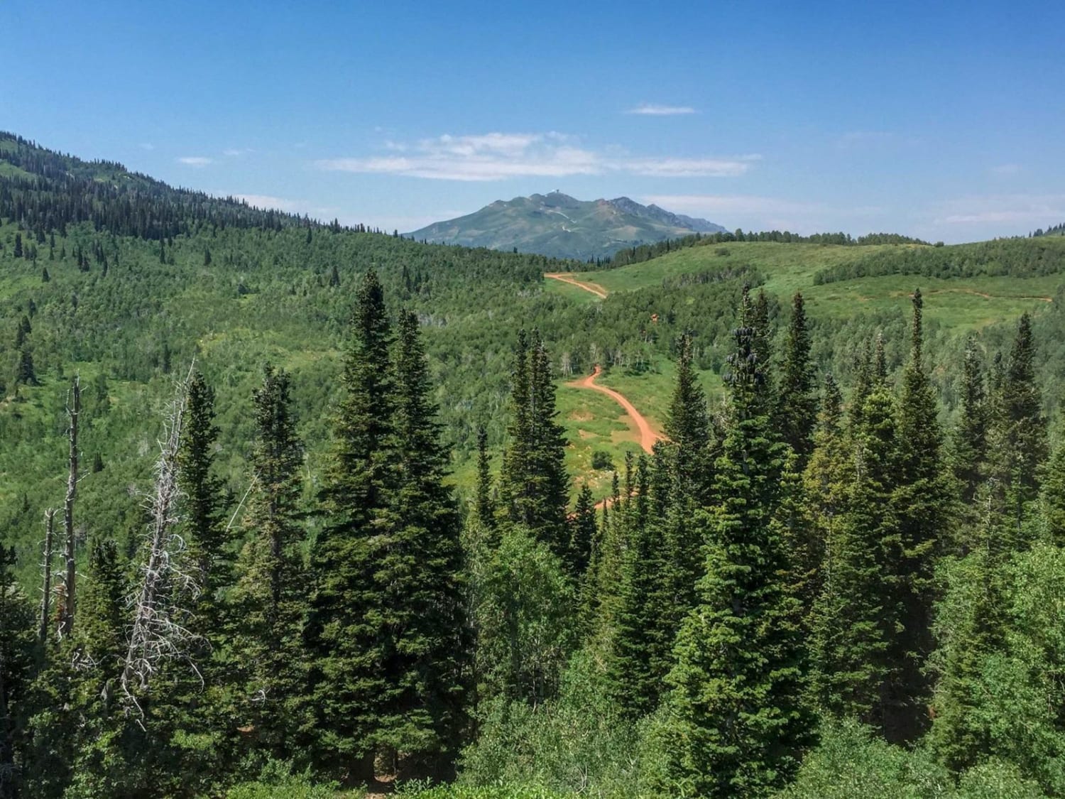
Farmington Canyon
Total Miles
18.7
Tech Rating
Moderate
Best Time
Spring, Winter, Fall
Learn more about Farmington Canyon Road (FS 007)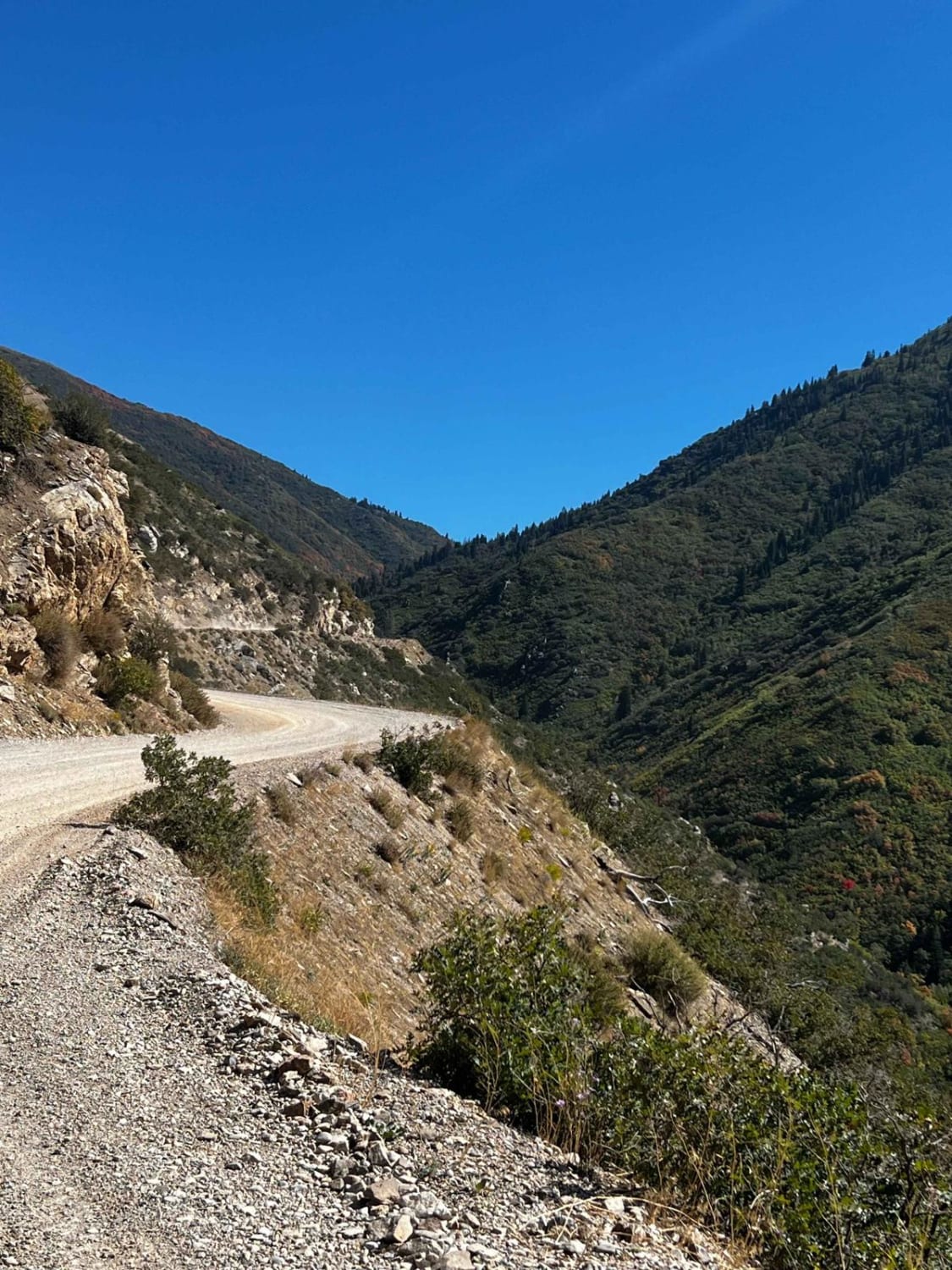
Farmington Canyon Road (FS 007)
Total Miles
8.3
Tech Rating
Easy
Best Time
Summer, Fall, Spring
Learn more about Farmington Canyon Trail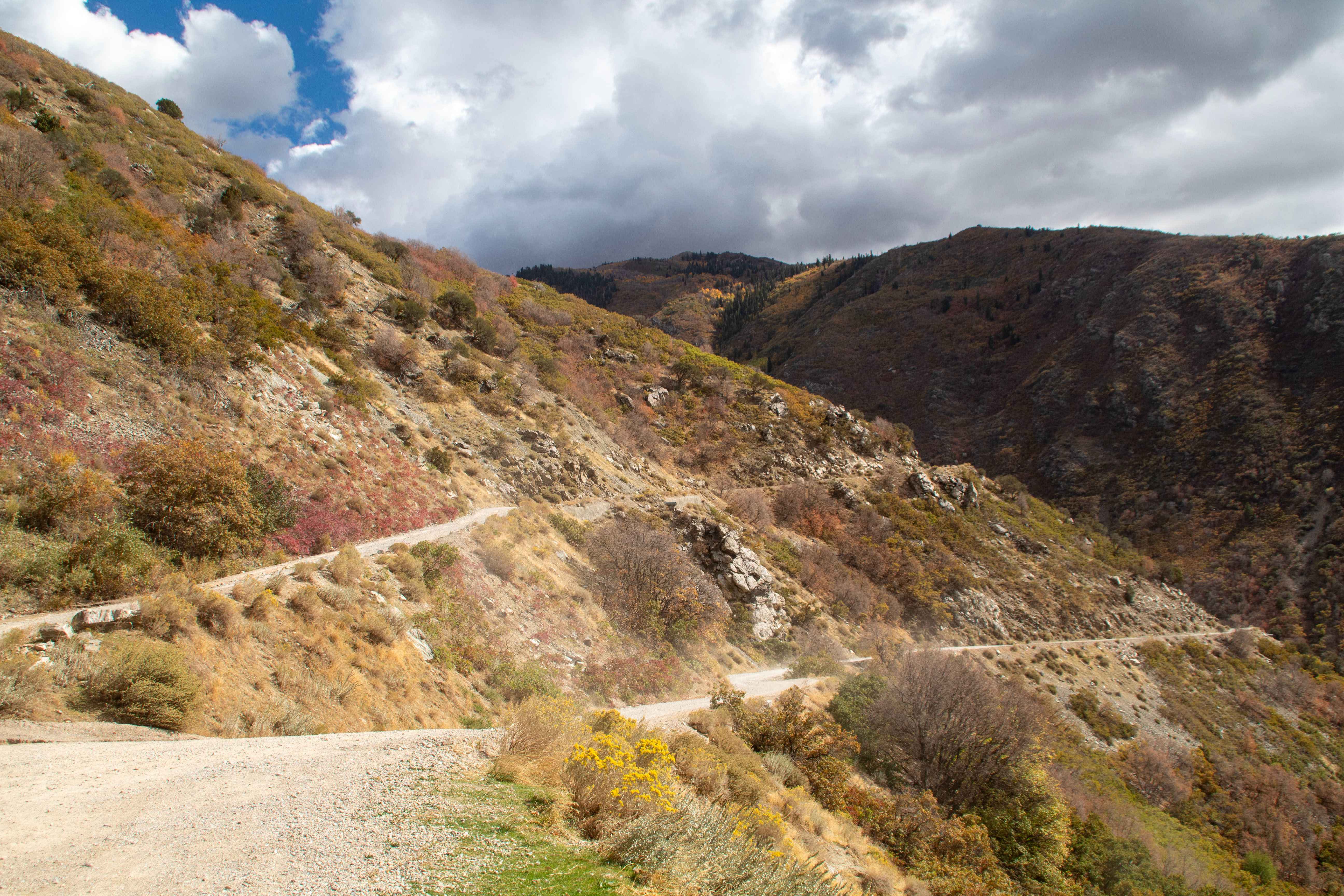
Farmington Canyon Trail
Total Miles
7.2
Tech Rating
Easy
Best Time
Summer, Fall
Learn more about Farmington Firebreak Road
Farmington Firebreak Road
Total Miles
2.1
Tech Rating
Easy
Best Time
Spring, Summer, Fall, Winter
Learn more about Farmington Flats
Farmington Flats
Total Miles
3.7
Tech Rating
Moderate
Best Time
Summer, Fall
Learn more about Farnsworth Lake Gates Lake Trail
Farnsworth Lake Gates Lake Trail
Total Miles
3.3
Tech Rating
Easy
Best Time
Spring, Summer, Fall
Learn more about Farnsworth Lake Road
Farnsworth Lake Road
Total Miles
1.3
Tech Rating
Moderate
Best Time
Spring, Summer, Fall
Learn more about Fawlty Towers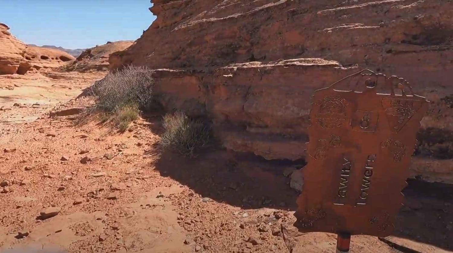
Fawlty Towers
Total Miles
5.9
Tech Rating
Difficult
Best Time
Spring, Summer, Fall, Winter
Learn more about Fayette to Manti
Fayette to Manti
Total Miles
22.8
Tech Rating
Easy
Best Time
Spring, Fall, Summer
Learn more about Fifth Water #015 
Fifth Water #015
Total Miles
4.5
Tech Rating
Moderate
Best Time
Spring, Summer, Fall
Learn more about Fin Little - Buckskin Wash Interconnect
Fin Little - Buckskin Wash Interconnect
Total Miles
3.9
Tech Rating
Easy
Best Time
Spring, Summer, Fall
Learn more about Fin Little Wash
Fin Little Wash
Total Miles
5.8
Tech Rating
Moderate
Best Time
Spring, Summer, Fall
Learn more about Fins & Things Cutoff
Fins & Things Cutoff
Total Miles
0.6
Tech Rating
Easy
Best Time
Spring, Summer, Fall, Winter
Learn more about Fins and Things
Fins and Things
Total Miles
9.4
Tech Rating
Moderate
Best Time
Spring, Summer, Fall, Winter
ATV trails in Utah

Learn more about 14 Mile Road
14 Mile Road
Total Miles
14.7
Tech Rating
Easy
Best Time
Spring, Summer, Fall, Winter


UTV/side-by-side trails in Utah
Learn more about 14 Mile Road
14 Mile Road
Total Miles
14.7
Tech Rating
Easy
Best Time
Spring, Summer, Fall, Winter
The onX Offroad Difference
onX Offroad combines trail photos, descriptions, difficulty ratings, width restrictions, seasonality, and more in a user-friendly interface. Available on all devices, with offline access and full compatibility with CarPlay and Android Auto. Discover what you’re missing today!