Off-Road Trails in Utah
Discover off-road trails in Utah
Learn more about Edge of the World - Single Track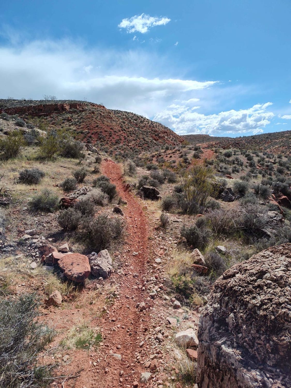
Edge of the World - Single Track
Total Miles
9.2
Tech Rating
Moderate
Best Time
Spring, Summer, Fall, Winter
Learn more about Eggnog Star Springs Road-BLM13000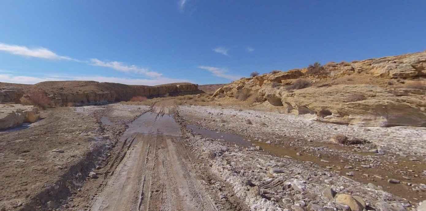
Eggnog Star Springs Road-BLM13000
Total Miles
26.7
Tech Rating
Easy
Best Time
Spring, Summer, Fall, Winter

Learn more about Elberta Slant Road
Elberta Slant Road
Total Miles
4.1
Tech Rating
Easy
Best Time
Fall, Summer, Spring
Learn more about Elberta Slant Road/Tintic Railroad Tunnel
Elberta Slant Road/Tintic Railroad Tunnel
Total Miles
4.3
Tech Rating
Easy
Best Time
Spring, Fall, Winter, Summer
Learn more about Elbow of the Sandy Overlook
Elbow of the Sandy Overlook
Total Miles
16.1
Tech Rating
Moderate
Best Time
Spring
Learn more about Elephant Gap - Poverty Gulch Overlook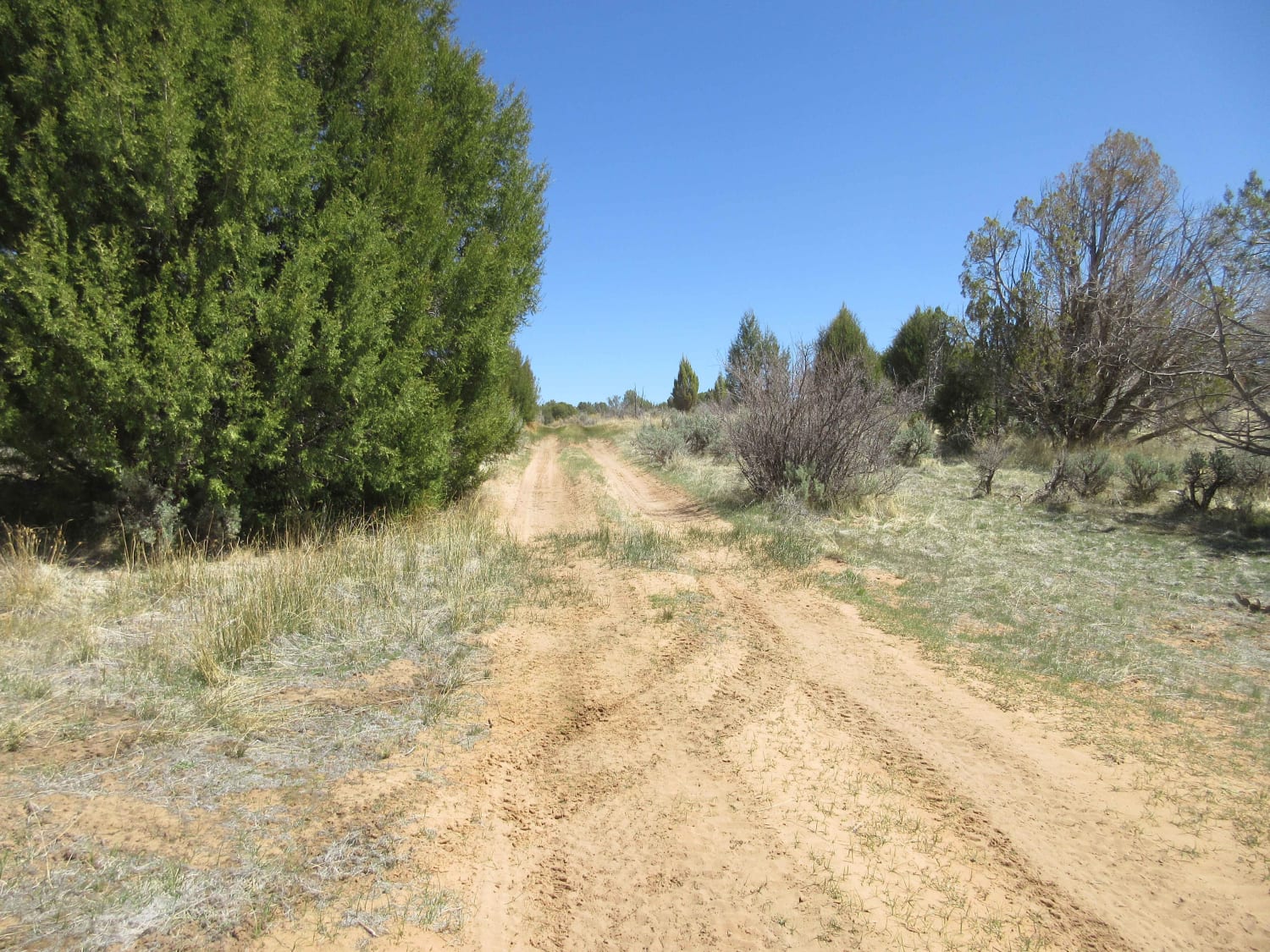
Elephant Gap - Poverty Gulch Overlook
Total Miles
31.8
Tech Rating
Easy
Best Time
Spring, Summer, Fall, Winter
Learn more about Elephant Hill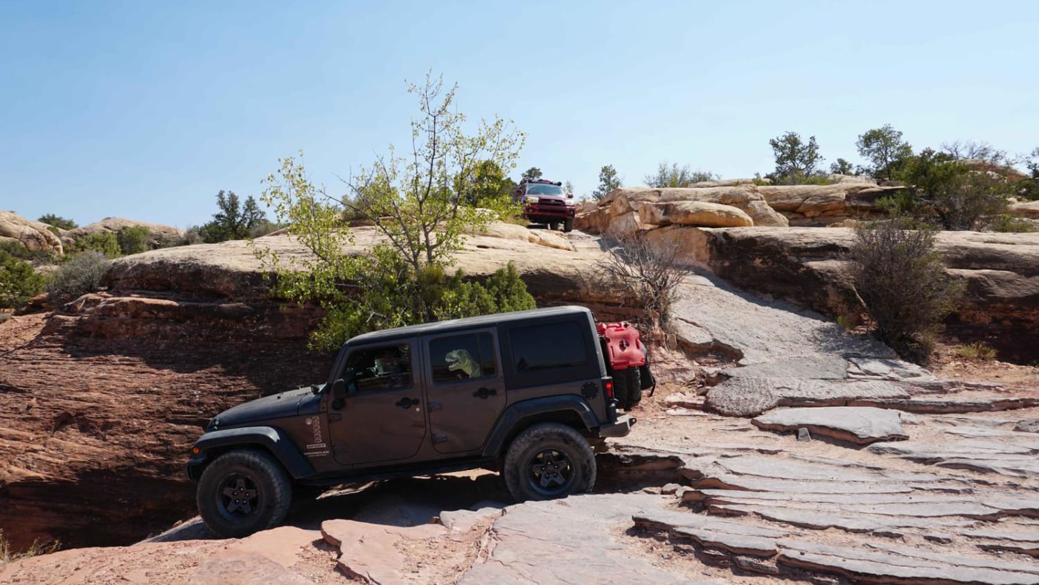
Elephant Hill
Total Miles
21.3
Tech Rating
Moderate
Best Time
Spring, Summer, Fall
Learn more about Elephant Hill
Elephant Hill
Total Miles
21.3
Tech Rating
Moderate
Best Time
Spring, Summer, Fall
Learn more about Elephant Hill Road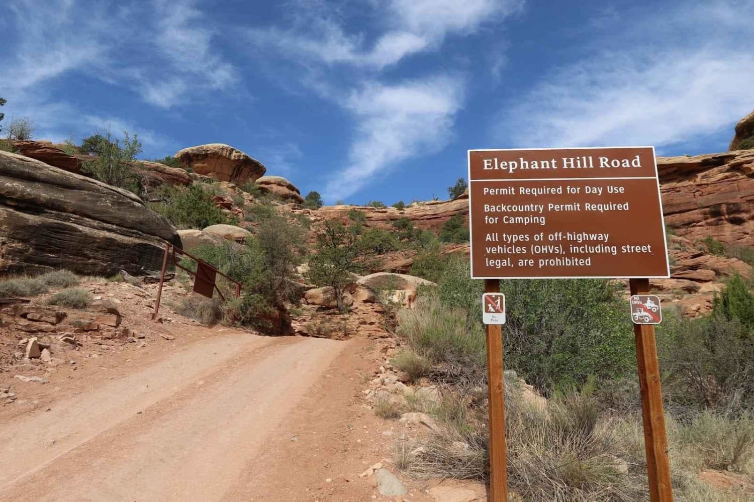
Elephant Hill Road
Total Miles
2.0
Tech Rating
Moderate
Best Time
Spring, Summer, Fall
Learn more about Elk Ridge Shelf Road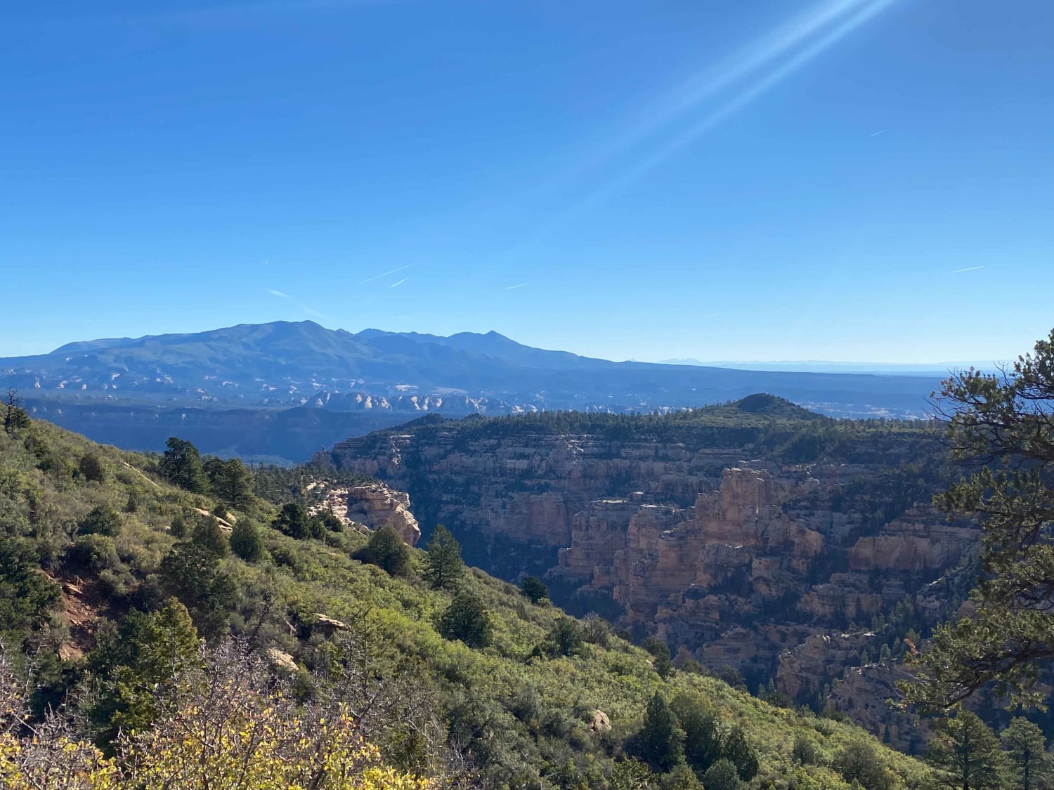
Elk Ridge Shelf Road
Total Miles
9.5
Tech Rating
Easy
Best Time
Spring, Summer, Fall
Learn more about Elk Valley Guard Station
Elk Valley Guard Station
Total Miles
1.0
Tech Rating
Easy
Best Time
Spring, Summer, Fall
Learn more about Elkheart Cliffs Overlook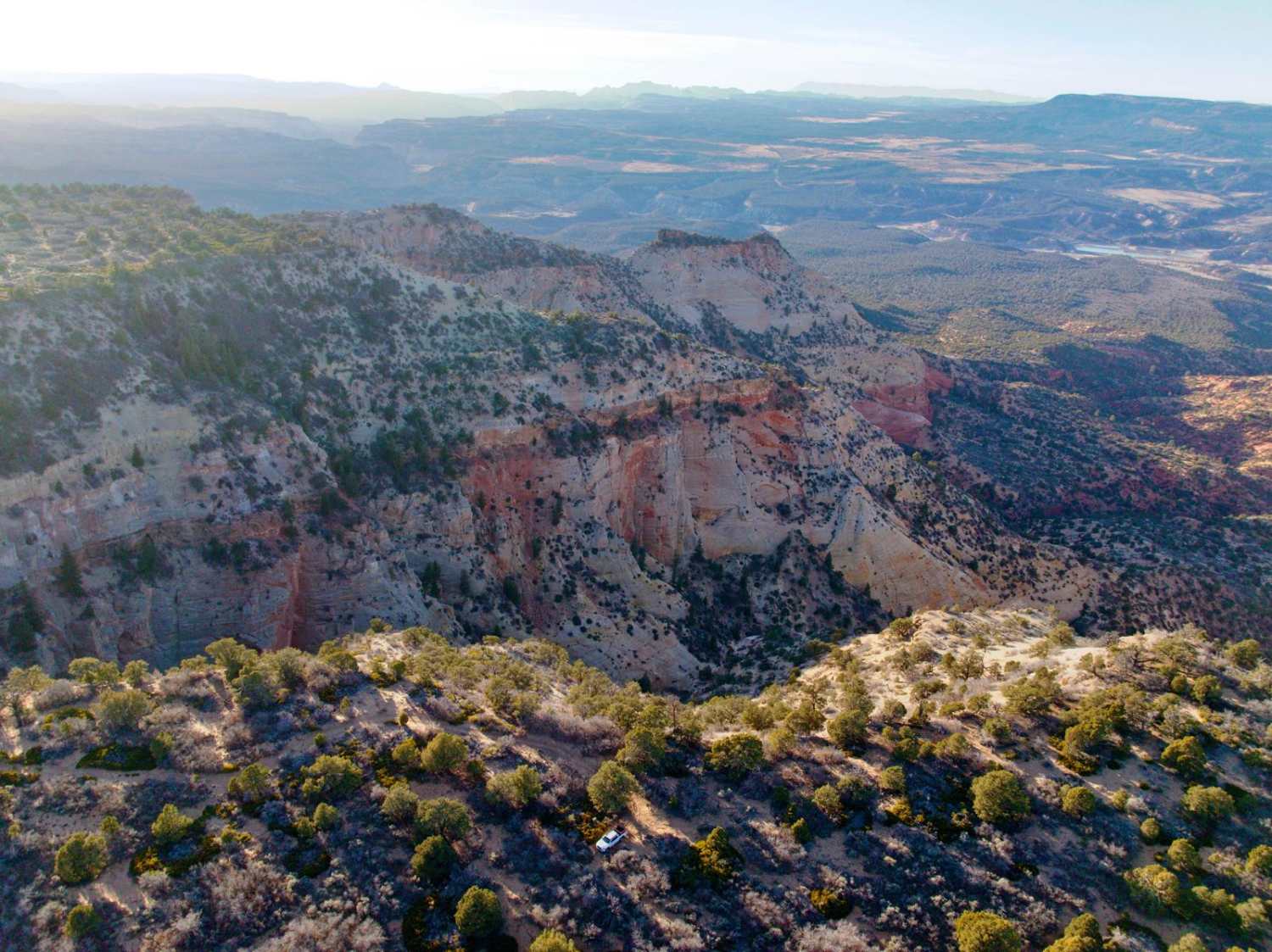
Elkheart Cliffs Overlook
Total Miles
9.4
Tech Rating
Easy
Best Time
Summer, Fall
Learn more about Emery County Road 1010
Emery County Road 1010
Total Miles
24.0
Tech Rating
Easy
Best Time
Spring, Summer, Fall, Winter
Learn more about Emigrant Trail - Snow Flat Route
Emigrant Trail - Snow Flat Route
Total Miles
22.5
Tech Rating
Moderate
Best Time
Spring
Learn more about Enduro Loop (West)
Enduro Loop (West)
Total Miles
3.0
Tech Rating
Easy
Best Time
Spring, Winter, Fall
Learn more about Enduro Loop Trail 
Enduro Loop Trail
Total Miles
1.4
Tech Rating
Easy
Best Time
Spring, Winter, Fall
ATV trails in Utah

Learn more about 14 Mile Road
14 Mile Road
Total Miles
14.7
Tech Rating
Easy
Best Time
Spring, Summer, Fall, Winter


UTV/side-by-side trails in Utah
Learn more about 14 Mile Road
14 Mile Road
Total Miles
14.7
Tech Rating
Easy
Best Time
Spring, Summer, Fall, Winter
The onX Offroad Difference
onX Offroad combines trail photos, descriptions, difficulty ratings, width restrictions, seasonality, and more in a user-friendly interface. Available on all devices, with offline access and full compatibility with CarPlay and Android Auto. Discover what you’re missing today!