Off-Road Trails in Utah
Discover off-road trails in Utah
Learn more about Dixie National Forest-FR30875
Dixie National Forest-FR30875
Total Miles
3.7
Tech Rating
Easy
Best Time
Spring, Summer, Fall, Winter
Learn more about Dixie National Forest-FR31006
Dixie National Forest-FR31006
Total Miles
4.2
Tech Rating
Easy
Best Time
Spring, Summer, Fall, Winter
Learn more about Dixie National Forest-FR31007
Dixie National Forest-FR31007
Total Miles
2.4
Tech Rating
Easy
Best Time
Spring, Summer, Fall, Winter
Learn more about Dixie National Forest-FR31014
Dixie National Forest-FR31014
Total Miles
3.5
Tech Rating
Easy
Best Time
Spring, Summer, Fall, Winter
Learn more about Doc Spring (FS# 40134)
Doc Spring (FS# 40134)
Total Miles
5.0
Tech Rating
Moderate
Best Time
Summer, Fall
Learn more about Doc's Beach-Vernal
Doc's Beach-Vernal
Total Miles
3.9
Tech Rating
Difficult
Best Time
Spring, Summer, Fall, Winter
Learn more about Dolores Triangle
Dolores Triangle
Total Miles
37.2
Tech Rating
Easy
Best Time
Spring, Fall
Learn more about Dome Plateau
Dome Plateau
Total Miles
30.0
Tech Rating
Moderate
Best Time
Spring, Summer, Fall, Winter
Learn more about Dome Plateau - BLM 2118
Dome Plateau - BLM 2118
Total Miles
3.6
Tech Rating
Easy
Best Time
Spring, Summer, Fall, Winter
Learn more about Dome Plateau - BLM 2216
Dome Plateau - BLM 2216
Total Miles
4.4
Tech Rating
Moderate
Best Time
Spring, Summer, Fall, Winter
Learn more about Dome Plateau - BLM 345
Dome Plateau - BLM 345
Total Miles
3.6
Tech Rating
Easy
Best Time
Spring, Summer, Fall, Winter
Learn more about Dome Plateau Connector
Dome Plateau Connector
Total Miles
2.8
Tech Rating
Moderate
Best Time
Spring, Summer, Winter, Fall
Learn more about Dominguez Falls
Dominguez Falls
Total Miles
1.7
Tech Rating
Difficult
Best Time
Spring, Winter, Summer, Fall
Learn more about Double Sammy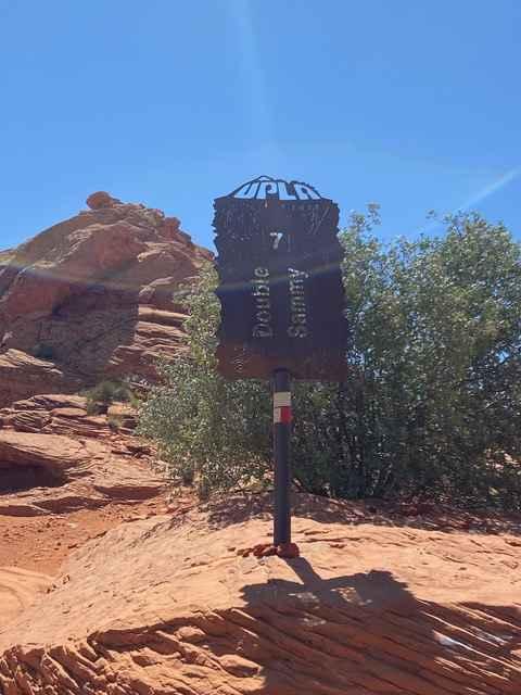
Double Sammy
Total Miles
1.0
Tech Rating
Difficult
Best Time
Spring, Fall, Winter
Learn more about Dougway Geode Beds Raptor Run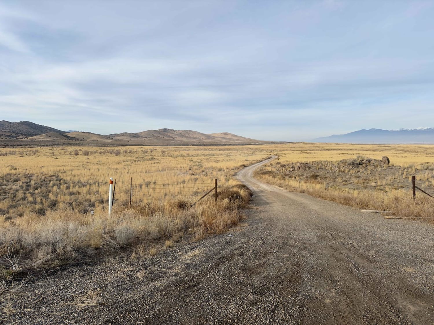
Dougway Geode Beds Raptor Run
Total Miles
8.5
Tech Rating
Easy
Best Time
Spring, Summer, Fall, Winter
Learn more about Down Floy Canyon Road
Down Floy Canyon Road
Total Miles
6.8
Tech Rating
Easy
Best Time
Spring, Summer, Fall
Learn more about Dry Bread Camp Area - FS 20116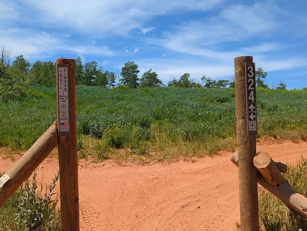
Dry Bread Camp Area - FS 20116
Total Miles
1.0
Tech Rating
Easy
Best Time
Spring
Learn more about Dry Bread Hollow ATV
Dry Bread Hollow ATV
Total Miles
0.2
Tech Rating
Easy
Best Time
Summer
Learn more about Dry Bread Hollow ATV - FS 6324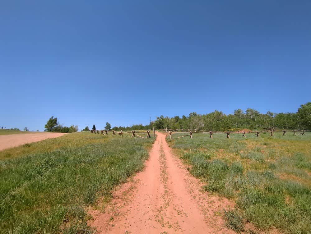
Dry Bread Hollow ATV - FS 6324
Total Miles
0.3
Tech Rating
Easy
Best Time
Summer, Fall
ATV trails in Utah

Learn more about 14 Mile Road
14 Mile Road
Total Miles
14.7
Tech Rating
Easy
Best Time
Spring, Summer, Fall, Winter


UTV/side-by-side trails in Utah
Learn more about 14 Mile Road
14 Mile Road
Total Miles
14.7
Tech Rating
Easy
Best Time
Spring, Summer, Fall, Winter
The onX Offroad Difference
onX Offroad combines trail photos, descriptions, difficulty ratings, width restrictions, seasonality, and more in a user-friendly interface. Available on all devices, with offline access and full compatibility with CarPlay and Android Auto. Discover what you’re missing today!