Doc Spring (FS# 40134)
Total Miles
5.0
Technical Rating
Best Time
Summer, Fall
Trail Type
60" Trail
Accessible By
Trail Overview
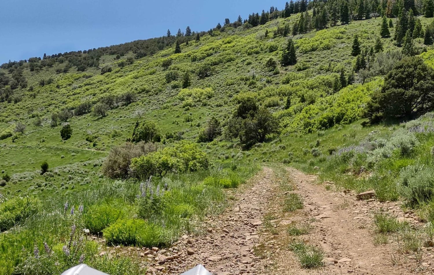
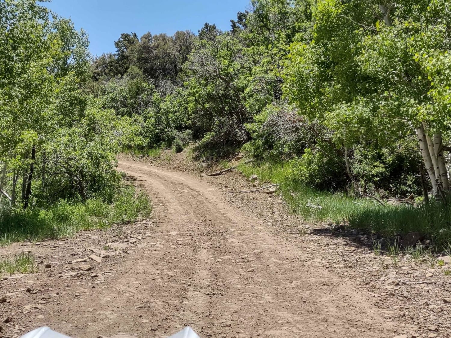
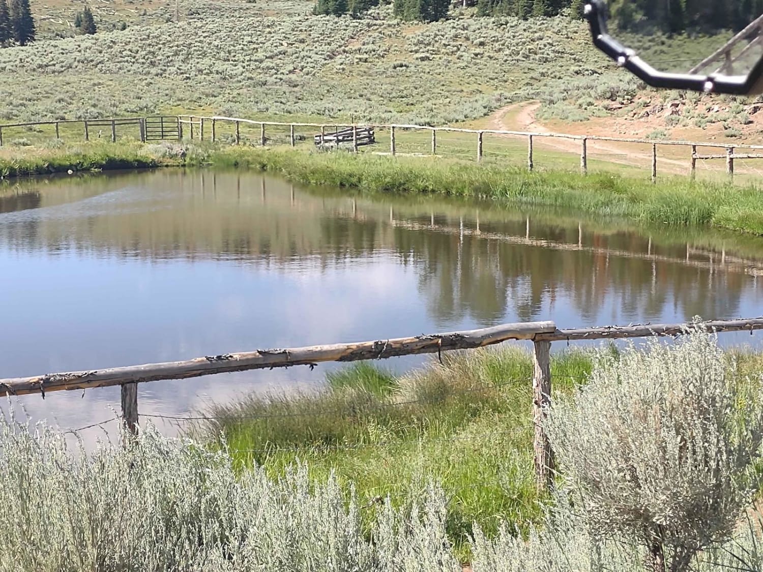
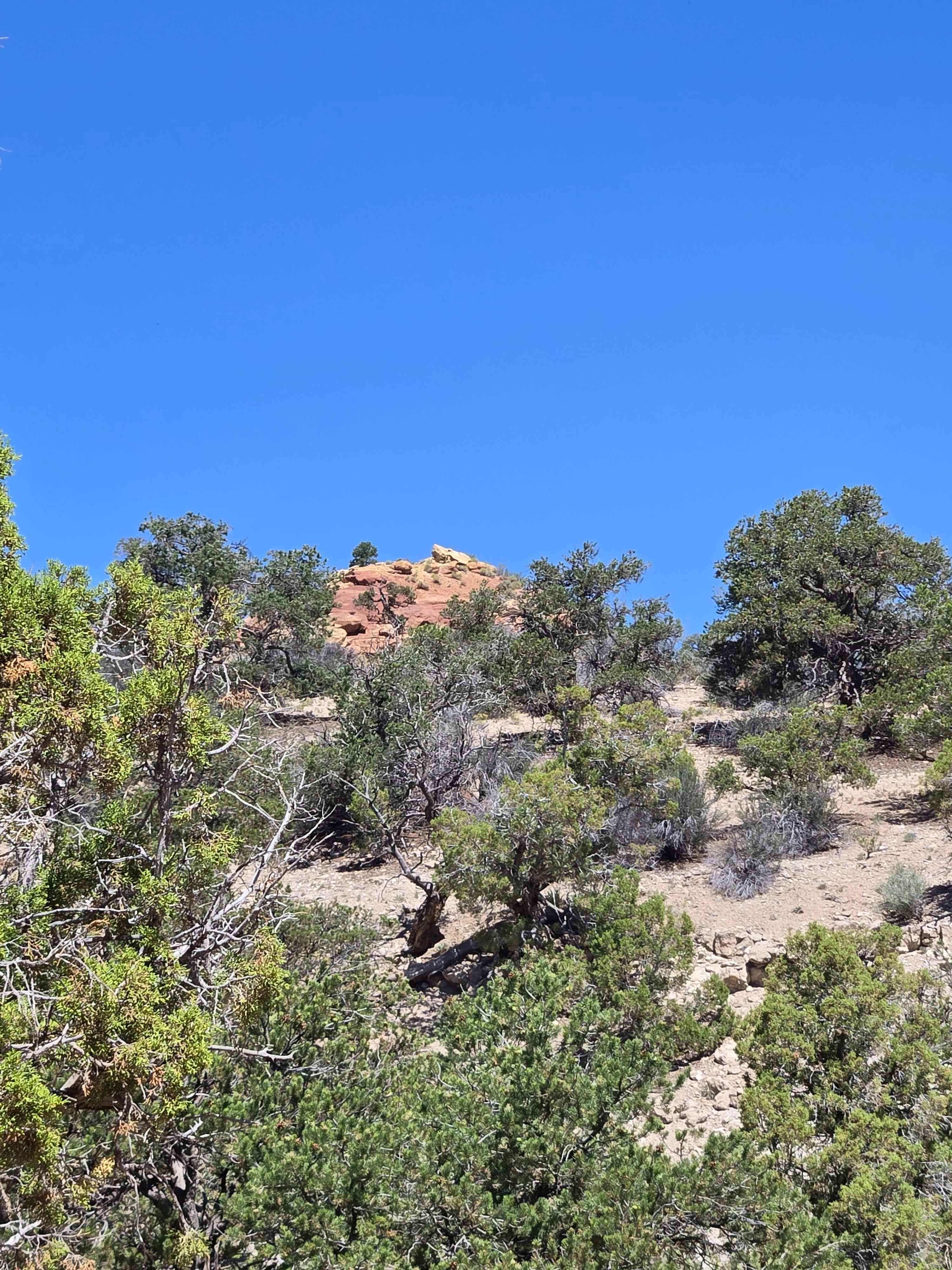
This trail runs along the west side of Oak Basin in a NE/SW orientation. Doc Spring is part of the Paiute Side Trail 34. The north end of the trail is easy. It's a road through a beautiful valley, with a steep easy climb along the mountains to the west. At the high point, you reach just over 8400 feet in elevation. The views of the valley are amazing. There are a few places where water runs across the trail, but by late June, the runoff in this area was nearing its end. You move from sagebrush, pine trees, and oak brush to pine trees near the summit. The south end of the trail is sharp, steep, hairpin turns. This section of the trail rates a 5 because of the steepness, the loose rocks and dirt, the tight switchbacks, and its narrowness. We rode it in a 72" 4-seater SXS, so it is wide enough for that. Some of the corners required at least a 3-point turn. The Forest Service has posted "Caution" and "Slow" signs at both ends and along the trail in the middle. It's a scenic drop, as you drop down onto the Paiute ATV Trail Circleville Marysvale Loop. At that intersection if you have a 60" vehicle, you can turn right and follow the Loop around. However, it is strictly limited to 60" as the canyon it goes through is narrow and tight. If your vehicle, like ours, is wider than 60, then you either go back up the switchbacks or take the Loop to the left and go down to Circleville. Don't forget, to off-road in UT you need to have the online education course certificate as well as the OHV sticker.
Photos of Doc Spring (FS# 40134)
Difficulty
While most of the trail is easy and would rate a 2, the south end, whether going up or down the switchbacks, requires a 5 rating. It's steep, and narrow, with loose rocks and dirt and tight switchback corners.
Status Reports
Doc Spring (FS# 40134) can be accessed by the following ride types:
- SxS (60")
- ATV (50")
Doc Spring (FS# 40134) Map
Popular Trails
Buckmaster Road
Big Table (FS 40154)
Wash and Dry
The onX Offroad Difference
onX Offroad combines trail photos, descriptions, difficulty ratings, width restrictions, seasonality, and more in a user-friendly interface. Available on all devices, with offline access and full compatibility with CarPlay and Android Auto. Discover what you’re missing today!