Billingsly Creek Draw
Total Miles
2.6
Technical Rating
Best Time
Summer, Fall
Trail Type
60" Trail
Accessible By
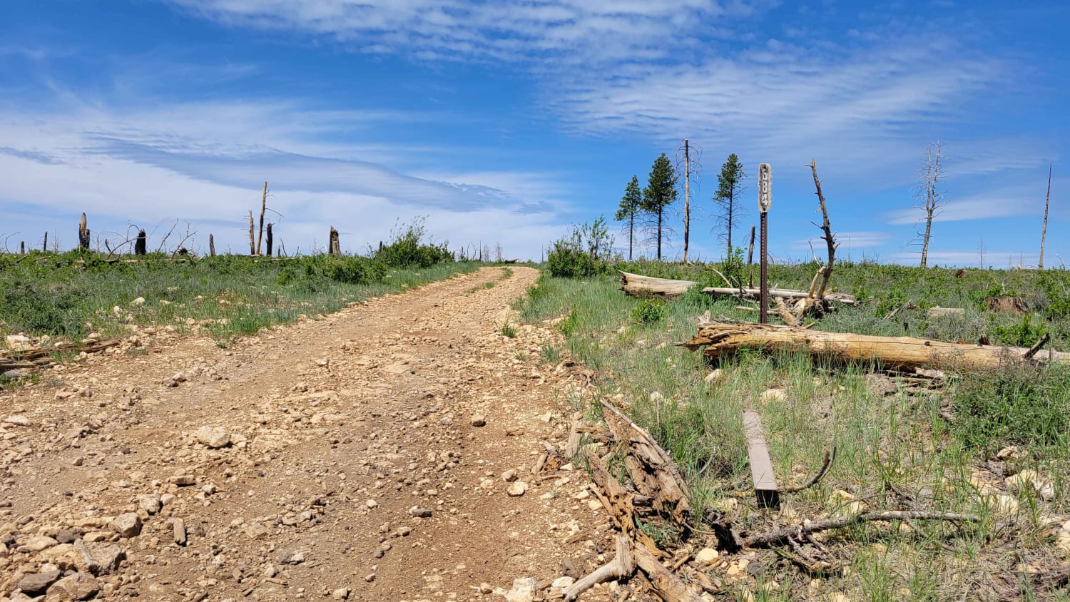
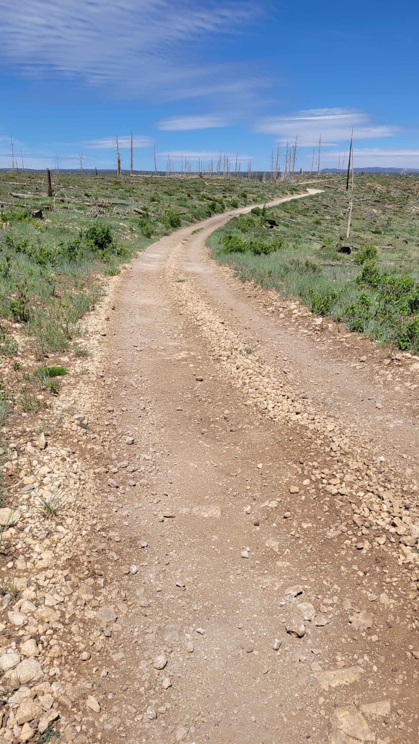
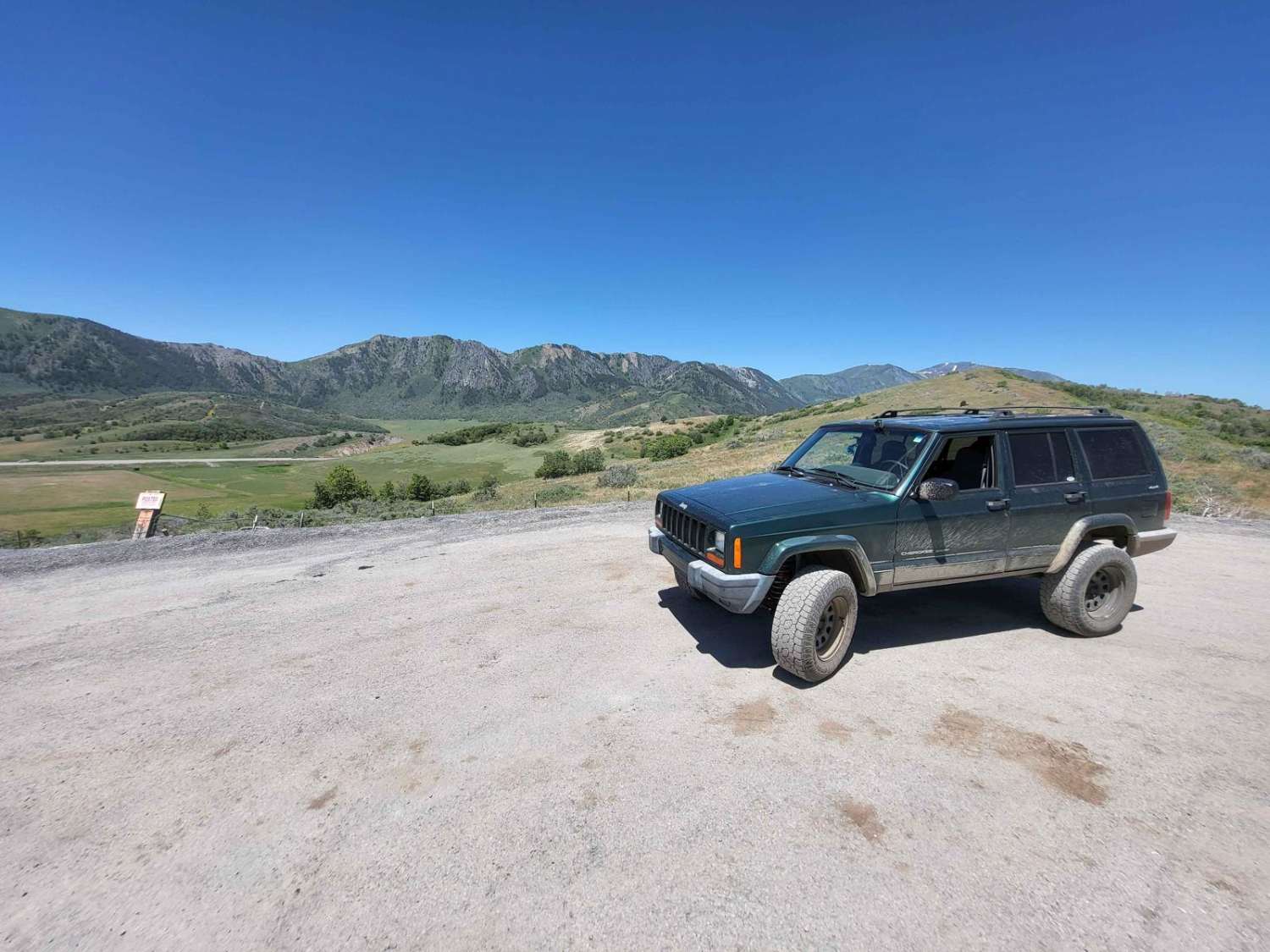
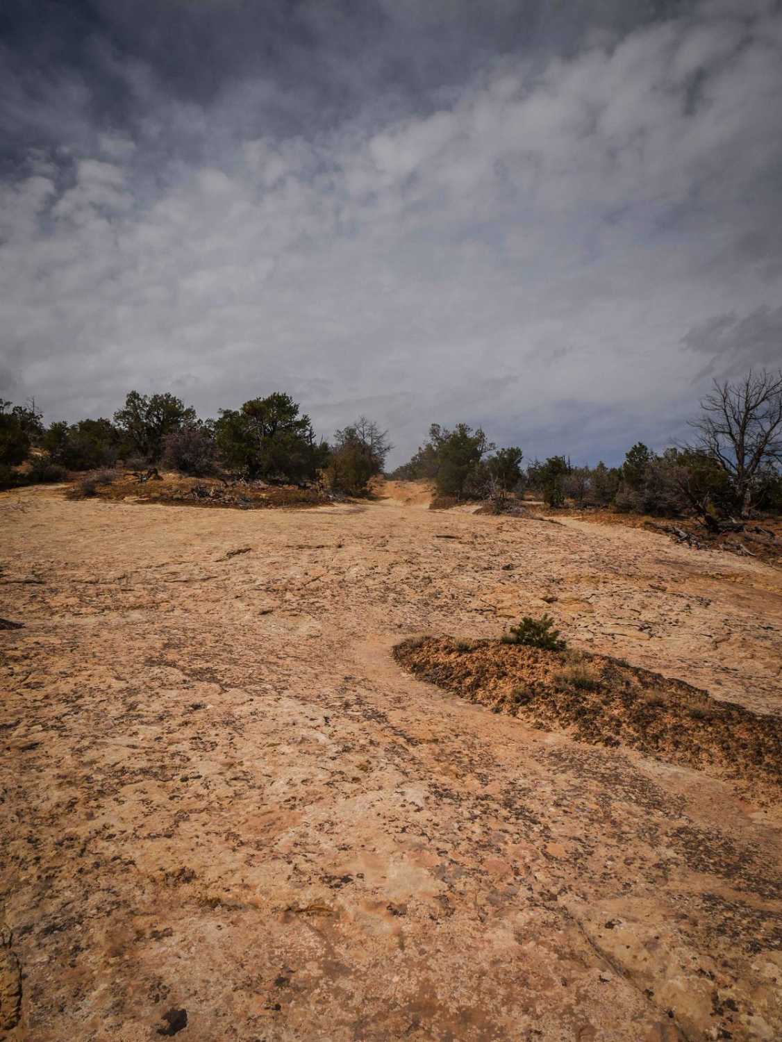
Trail Overview
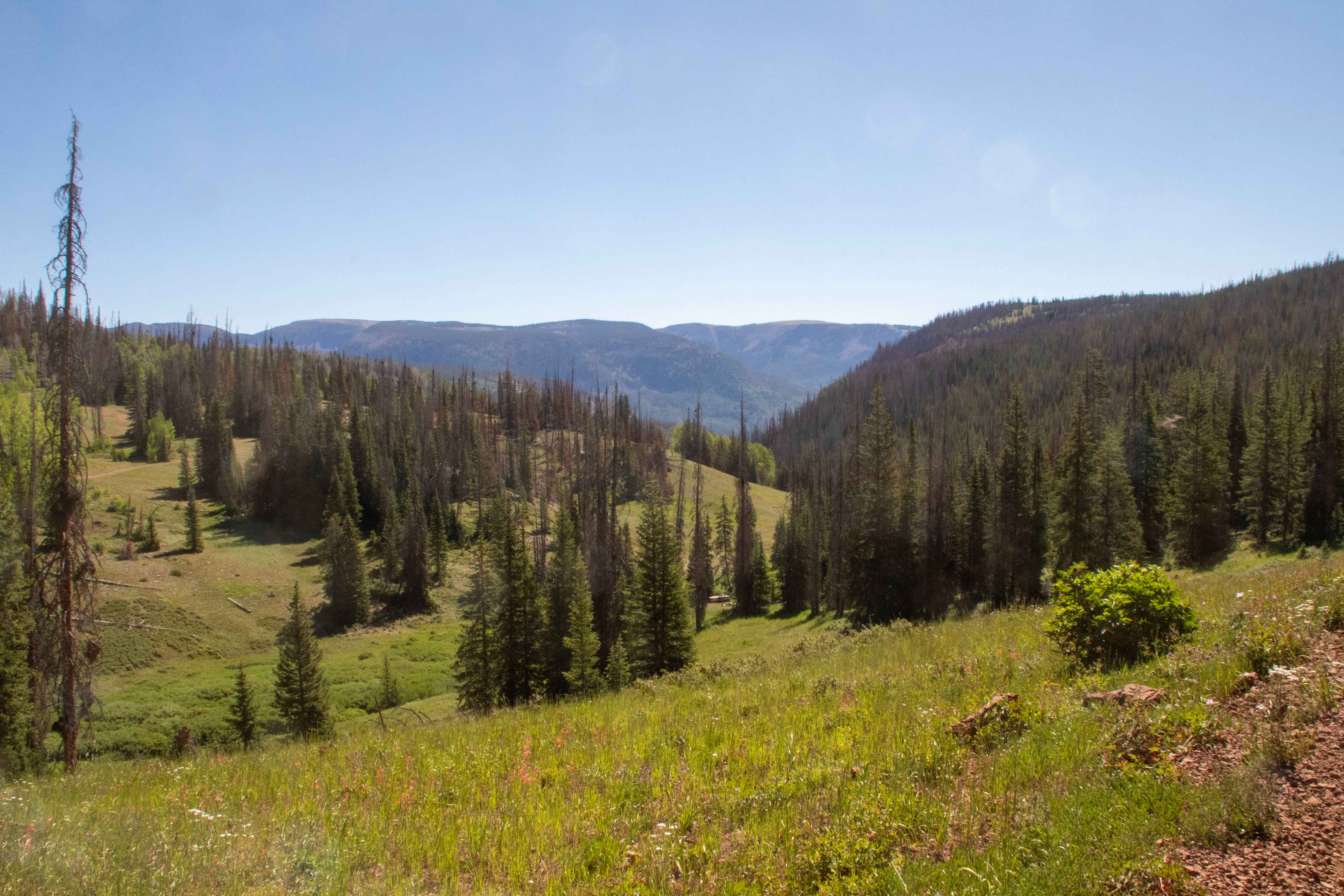
This short trail connects from Harris Rim to Swains Creek. There are some large erosion ruts especially in the middle of the trail. At some point there was a wildfire that burned the forest at the top of the trail. There is a small, shallow water crossing right at the beginning/end on the Swains Creek end. Trail #66 of the Markagunt OHV System.
Photos of Billingsly Creek Draw
Difficulty
There are some large erosion ruts especially in the middle of the trail.
Status Reports
Billingsly Creek Draw can be accessed by the following ride types:
- SxS (60")
- ATV (50")
- Dirt Bike
Billingsly Creek Draw Map
Popular Trails
Mount Pisgah Road

Ruby Fenceline
Soapstone - FR70304
The onX Offroad Difference
onX Offroad combines trail photos, descriptions, difficulty ratings, width restrictions, seasonality, and more in a user-friendly interface. Available on all devices, with offline access and full compatibility with CarPlay and Android Auto. Discover what you’re missing today!