Casto Canyon OHV Trail-NFS33089
Total Miles
3.7
Technical Rating
Best Time
Spring, Summer, Fall, Winter
Trail Type
50" Trail
Accessible By
Trail Overview
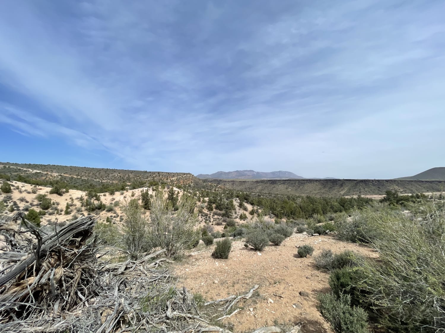
Casto Canyon OHV Trail-NFS33089 is a 3.6-mile ATV (50" or less) trail rated 3 of 10 located in the Dixie National Forest. This trail can be run as a point-to-point or combined with several other 4x4 forest roads to create a looping ride. This trail is considered easy and suitable for beginners. This trail has no significant obstacles, and the track is relatively smooth. This is particularly true for the climb out of the canyon on the north end leading up to Peterson Point-NFS30639. Casto Canyon is one of the area's most scenic ATV rides. The trail is mostly dirt and gravel when crossing the stream bed. This trail runs through the bottom of the canyon, starting at an altitude of 7000' on the south end and climbing 1000' over the length of the trail. The canyon is open year-round, but remember this is snowy country, and the trail may be completely impassable in winter. Casto Canyon is open to ATVs, UTVs, motorcycles, bicycles, hiking, and equestrians. A good indicator of potential activity on the trail is the number of vehicles in the parking lot near the southern trail entrance. Both ends of the trail have 50" barriers; on the south end, it is ramped, and the north end is a straight drive-through. ATVs are asked to stay on the trail, while non-motorized can hike or ride anywhere in the canyon.Depending on the time of year, the creek may be wet or dry, but the ATV track will cross it about 20 times. Casto Canyon offers a unique experience of riding through wind-swept orange-colored rock formations similar to those found in Bryce Canyon National Park. The orange rocks on the walls of Casto Canyon (and of Bryce Canyon) are formed of Claron-formation limestone. This limestone was deposited at the bottom of a large freshwater lake about 40 million years ago before the plateau area was lifted above the valleys of the Great Basin. From the southern trailhead/parking area, it is about .4 miles to the gate. About 3.6 miles up the canyon, the trail forks (there is a signpost) for single-track riders. Casto Canyon heads off to the east as a non-motorized single track (hiking, mountain bike, and equestrian,n trail). The ATV trail continues straight ahead, becoming Barney Cove Trail-NFS30014, a 50" restricted ATV trail. The time it takes to run the canyon will depend on how many photo stops are made along the route. There is no cell service along this trail. The nearest services to include medical are located in Panguitch, west of the trail. I highly recommend continuing to the canyon's end and going out on Peterson's Point for some great views, then returning either through Limekiln Road or the Freemont ATV Trail.
Photos of Casto Canyon OHV Trail-NFS33089
Difficulty
Trail consisting of loose rocks, dirt, and sand with some slickrock surfaces, mud holes possible, no steps higher than 12". 4WD may be required, aggressive tires a plus.
Casto Canyon OHV Trail-NFS33089 can be accessed by the following ride types:
- ATV (50")
- Dirt Bike
Casto Canyon OHV Trail-NFS33089 Map
Popular Trails

Baker Hot Springs North Entrance
Taylor Mountain Road - FS 10044
McMIllan Springs Road
Northside Tobin Bench
The onX Offroad Difference
onX Offroad combines trail photos, descriptions, difficulty ratings, width restrictions, seasonality, and more in a user-friendly interface. Available on all devices, with offline access and full compatibility with CarPlay and Android Auto. Discover what you’re missing today!