The Bunker Trail
Total Miles
4.6
Technical Rating
Best Time
Summer, Fall, Winter
Trail Type
High-Clearance 4x4 Trail
Accessible By
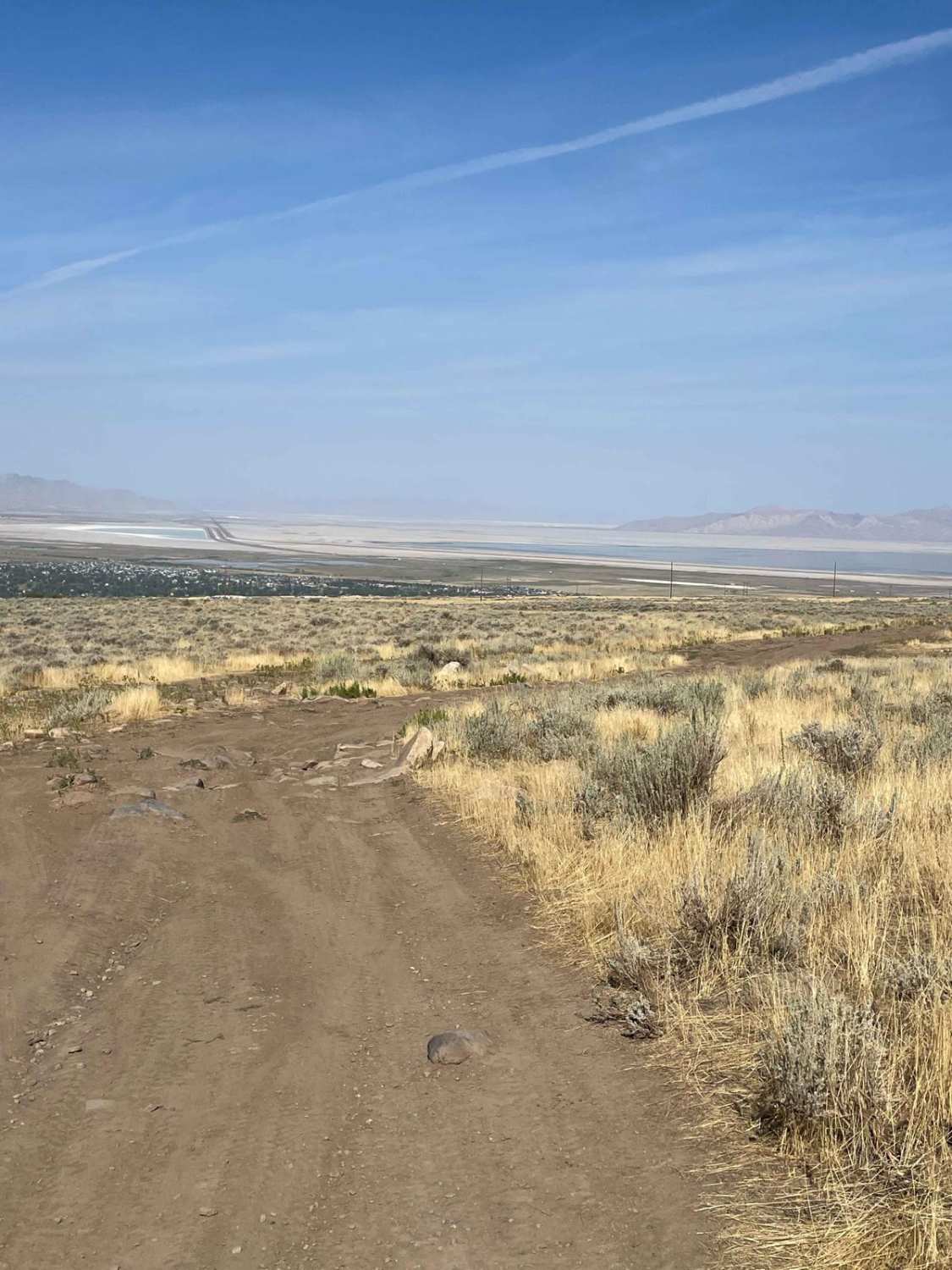
Trail Overview
There are a few gates on this trail, make sure you leave the gates the way you found them. This trail rides along the ridgeline and has lots of loose rocks (baby heads mostly with some sharp rocks). This can be challenging on a bigger motorcycle due to the grades and loose material. 4x4s might find this a bit challenging as well due to the narrow areas. The best-suited vehicles are dirt bikes, ATV's and SXS's. Riding along the ridge is pretty cool as you have a neat vantage point of the surrounding area and valley overlooks. You will hug the mountainside and ride along the powerline. As you head south, you will end up at Pass Canyon Trailhead where there is NO Motorized access, but there are a few places you could stop and have a picnic if you wanted. You will likely see wild turkeys on this route, so be on the lookout. This is a good trail to combine with the Bates Canyon & Erda Lookout Trails.
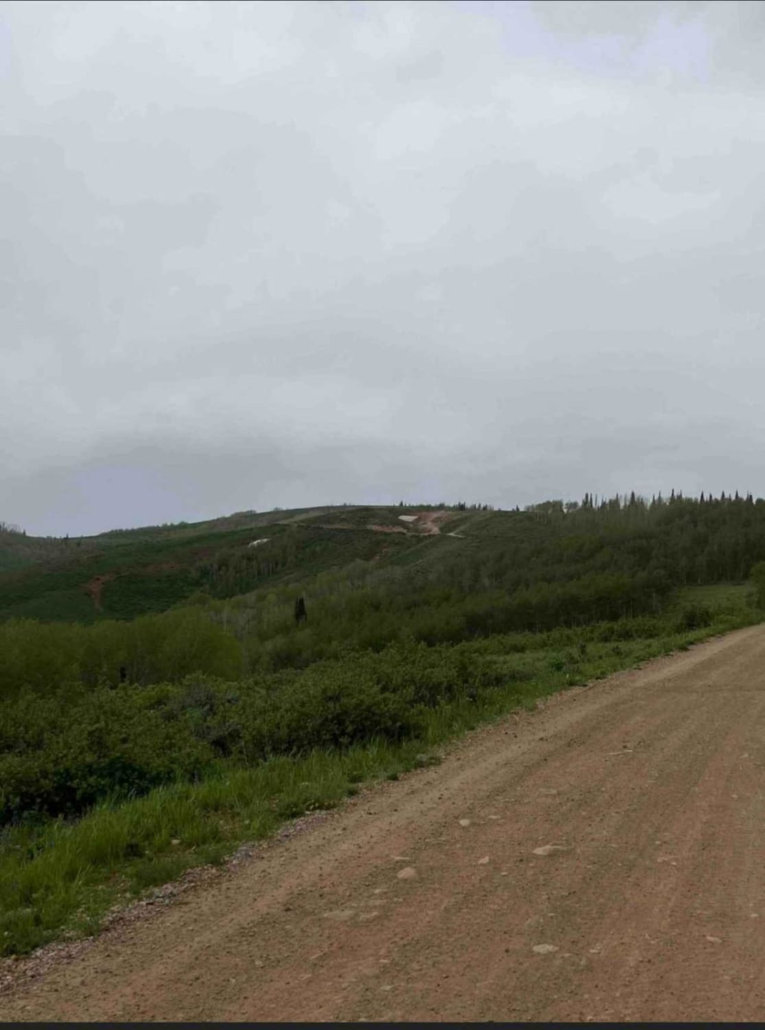
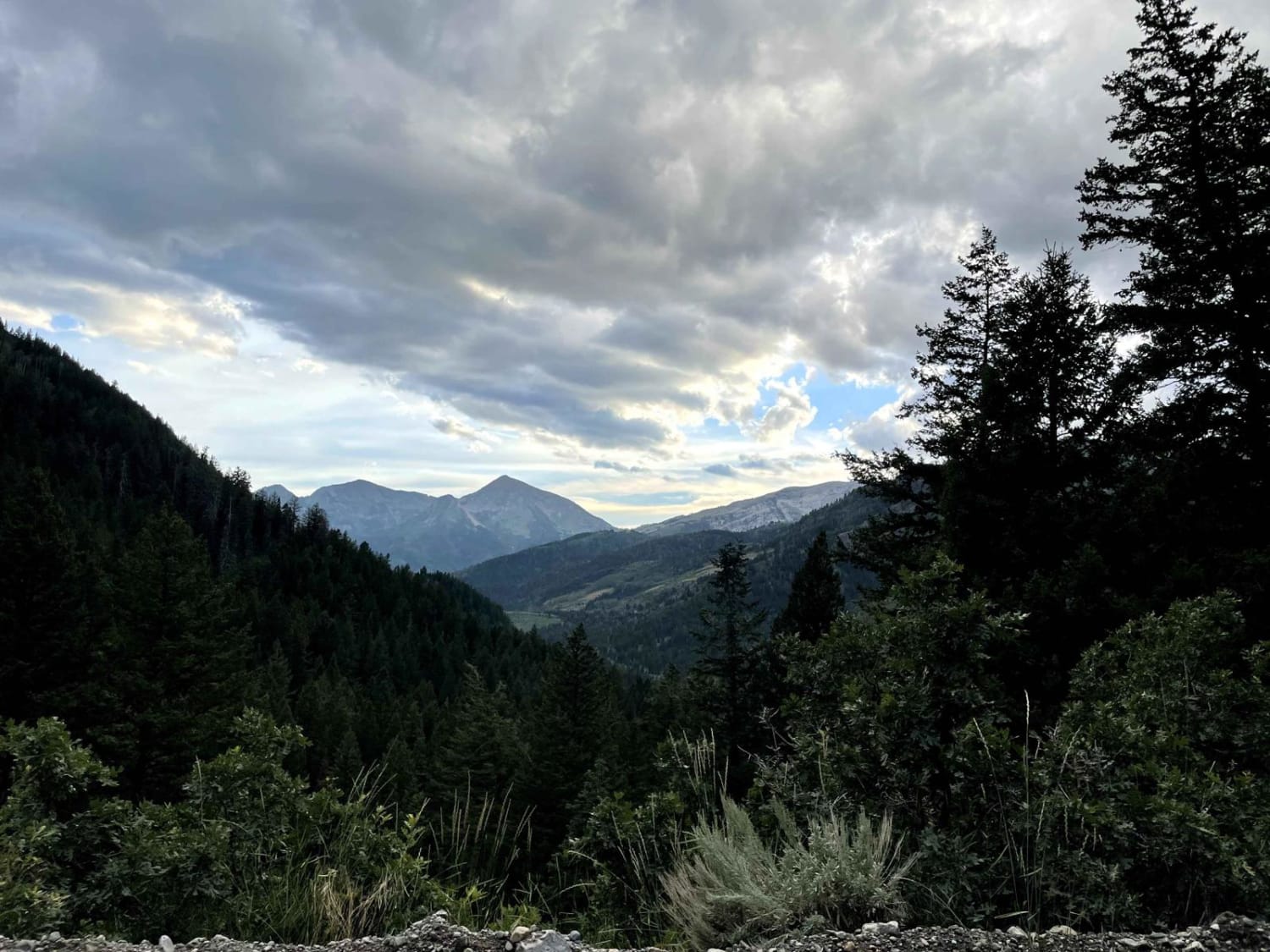
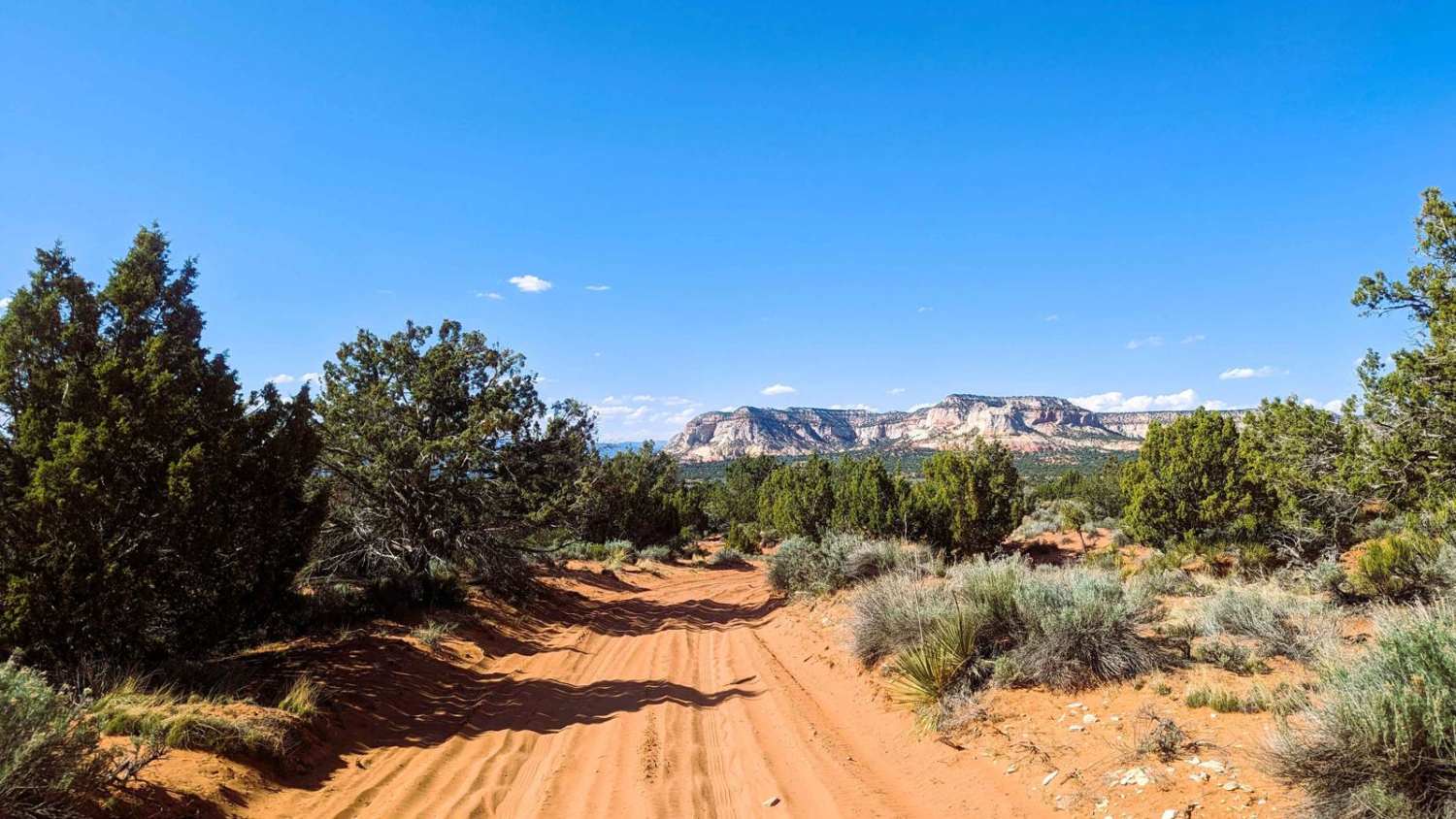
Photos of The Bunker Trail

Difficulty
This trail is going to present steep rocky terrain with loose rocks making traction a challenge. There are also sections of large boulders with off-camber turns that could be tricky if the conditions are wet. However, if it is dry, you will look forward to good traction on most of the sections with long straight sections you can carry some speed if you are into that. The southern half of the trail is much easier than the northern half.
Status Reports
The Bunker Trail can be accessed by the following ride types:
- High-Clearance 4x4
- SxS (60")
- ATV (50")
- Dirt Bike
The Bunker Trail Map
Popular Trails
American Fork Snake Creek
89 Parallel
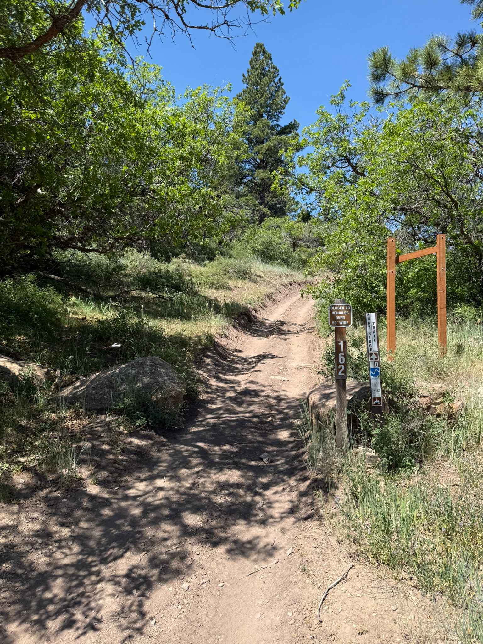
Shay Ridge OHV Trail N0. 162
The onX Offroad Difference
onX Offroad combines trail photos, descriptions, difficulty ratings, width restrictions, seasonality, and more in a user-friendly interface. Available on all devices, with offline access and full compatibility with CarPlay and Android Auto. Discover what you’re missing today!