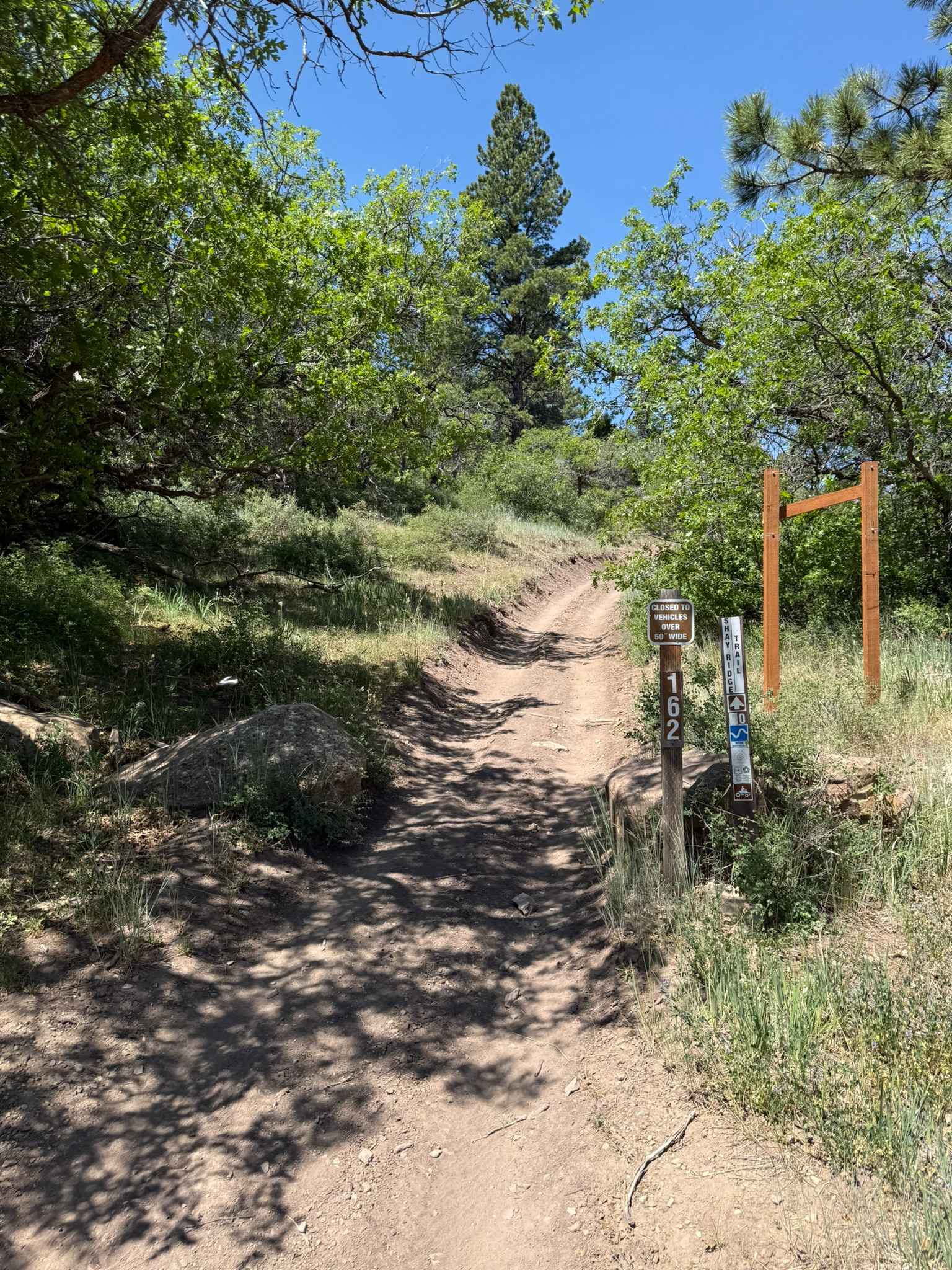
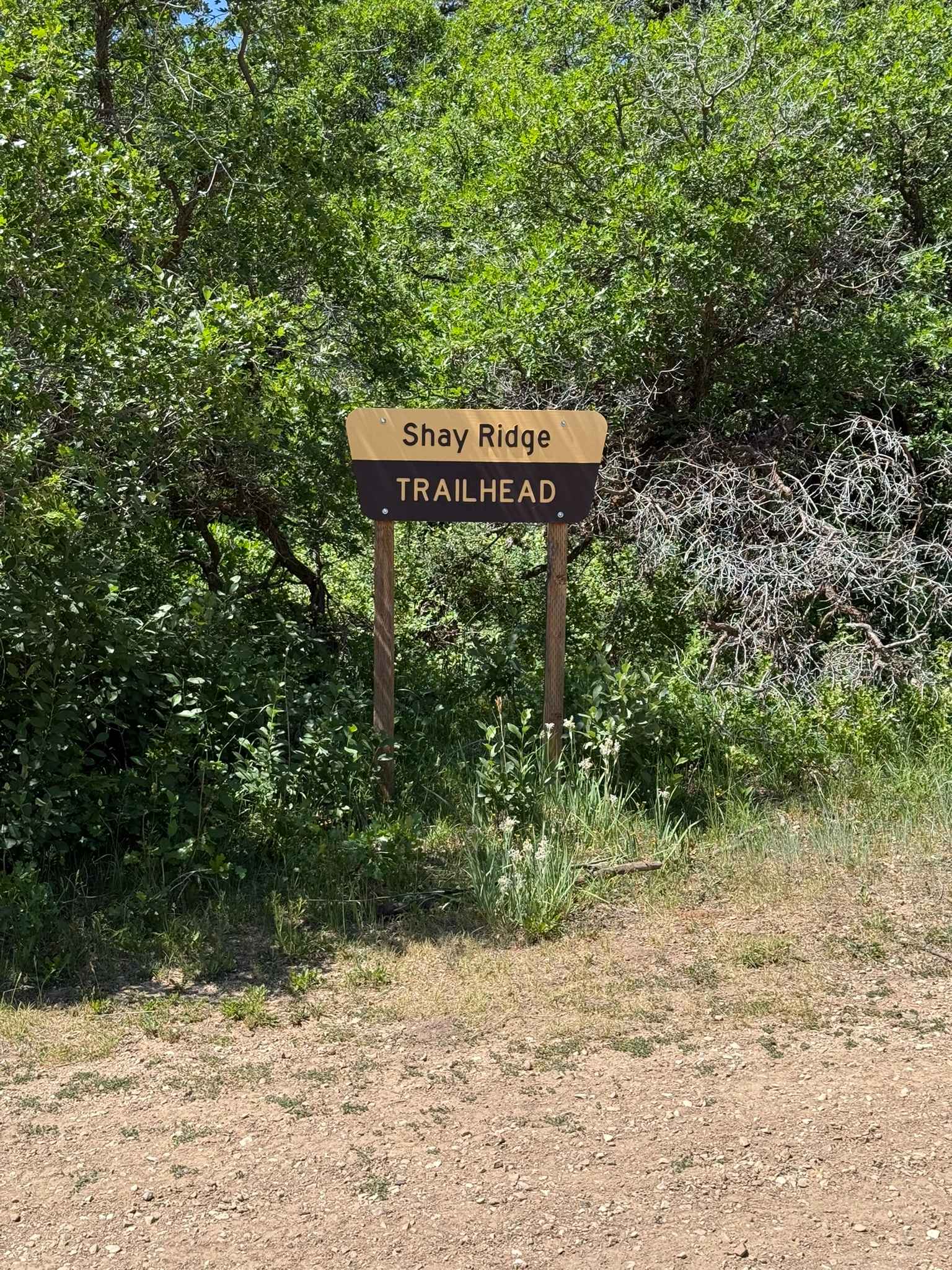
Shay Ridge OHV Trail N0. 162
Total Miles
5.1
Technical Rating
Best Time
Summer, Fall
Trail Type
50" Trail
Accessible By
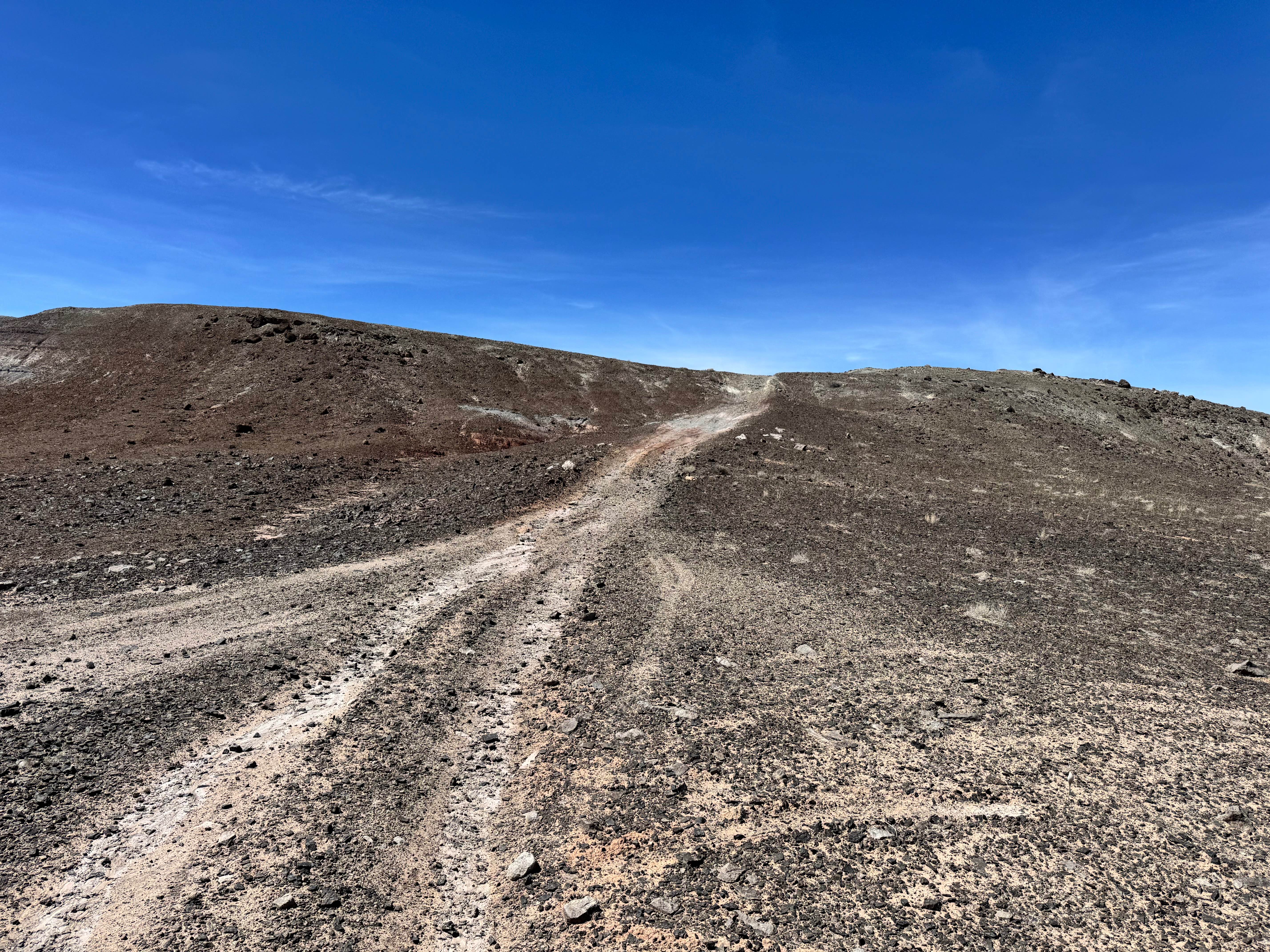
Trail Overview
The Shay Ridge Trail #162 is 5.4 miles long, beginning at Shay Ridge (FR 500104) and ending at Jackson Ridge (FS 50354). The north end elevation is 8,463 feet, while the high point reaches an elevation of 10,863 feet. The south end elevation is 10,338 feet. The trail has an elevation gain of 2,381 feet and an elevation loss of 508 feet. It travels through pine, fir, and aspen forests, providing outstanding views of the surrounding canyon country. There are definitely some rocky sections, but nothing too challenging. Several sections of the trail are exposed. Many single-track trail loops can be made using this trail and other area trails, including Red Ledges No. 019, Red Ledges Access Trail No. 160, Robertson Pasture No. 020, and Aspen Flat No. 018. To complete these loops, Indian Creek Road (FR 50079) and Jackson Ridge (FR 50354) are also used.
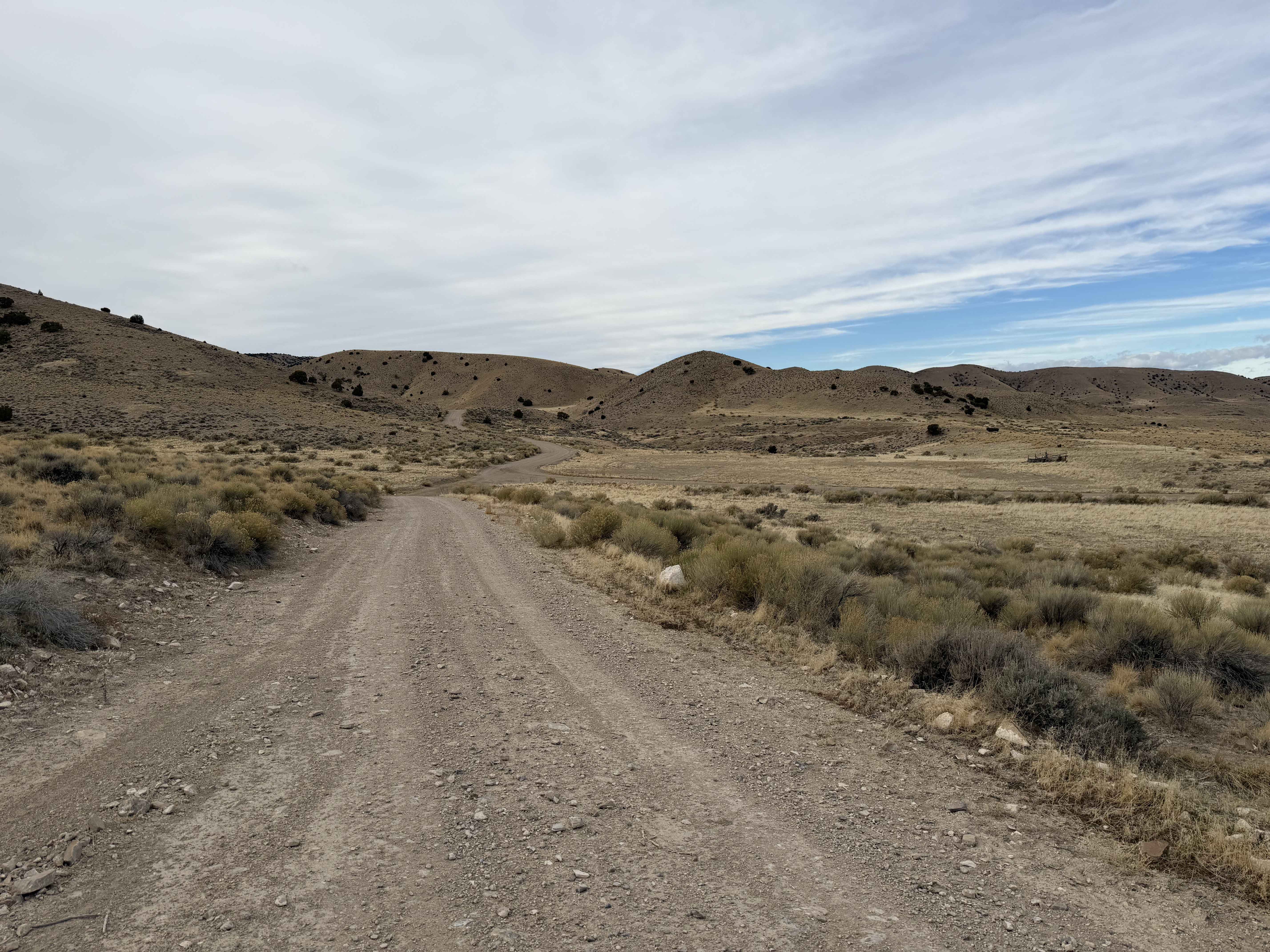
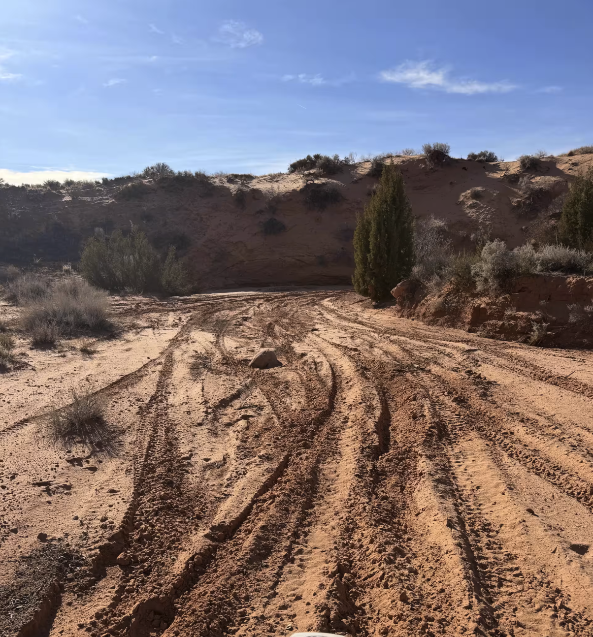
Photos of Shay Ridge OHV Trail N0. 162
Difficulty
Uneven, rutted dirt trail with potential for loose rocks. Potential for mud holes and trail obstacles up to 12", including ledges and short, steep grades. Roads are typically one vehicle wide with places to pass.
Status Reports
Shay Ridge OHV Trail N0. 162 can be accessed by the following ride types:
- ATV (50")
- Dirt Bike
Shay Ridge OHV Trail N0. 162 Map
Popular Trails
Grassy Mountain Peak Road
Green River Farm
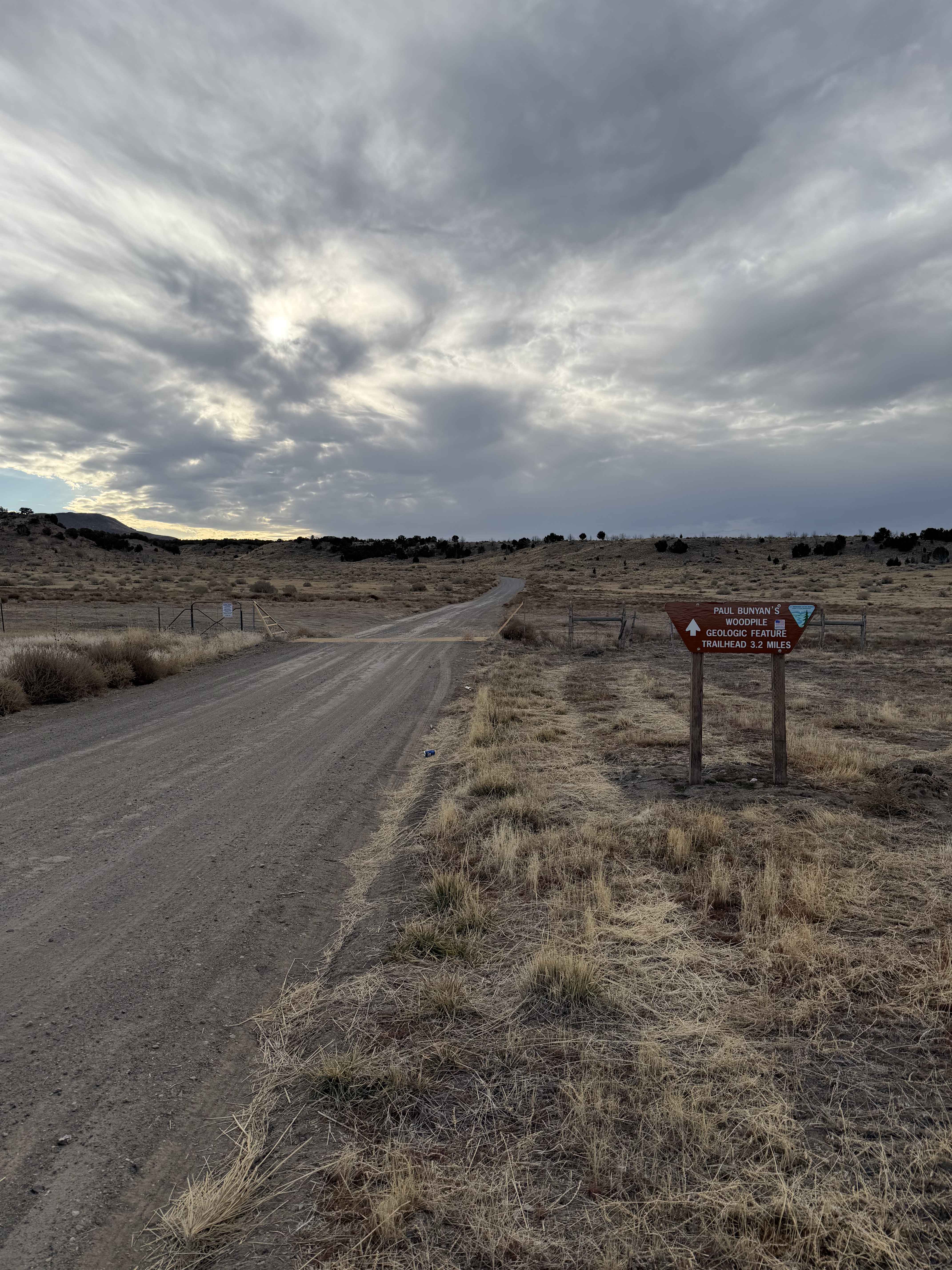
Paul Bunyan's Woodpile
The onX Offroad Difference
onX Offroad combines trail photos, descriptions, difficulty ratings, width restrictions, seasonality, and more in a user-friendly interface. Available on all devices, with offline access and full compatibility with CarPlay and Android Auto. Discover what you’re missing today!