10 trails found in Utah
Which "dome plateau" are you looking for?
We found 10 off-road trails in Utah matching your search. Pick the one you're looking for below.
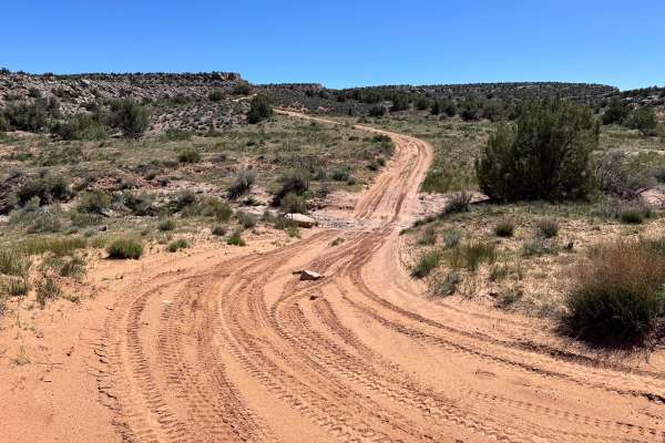
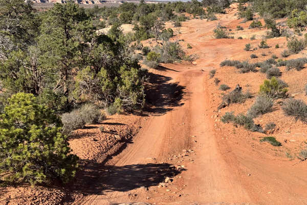
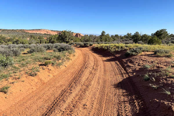
Dome Plateau Connector
Non-Resident OHV permits apply to ATVs, UTVs, and dirt bikes. Plated street-legal vehicles typically do not need one on legal motorized routes. This short connector route links two sides of the Dome Plateau trail system while still delivering the wide-open scenery the area is known for. The trail cr...
Learn more about Dome Plateau Connector
Dome Plateau - BLM 2118
Non-Resident OHV permits apply to ATVs, UTVs, and dirt bikes. Plated street-legal vehicles typically do not need one on legal motorized routes. This spur is a 1.75-mile dead-end out-and-back route that leads to an east-facing rim with elevated views over the Colorado River and the tip of Dome Platea...
Learn more about Dome Plateau - BLM 2118
Dome Plateau - BLM 2216
Non-Resident OHV permits apply to ATVs, UTVs, and dirt bikes. Plated street-legal vehicles typically do not need one on legal motorized routes. Traveling across the wide highlands of Dome Plateau offers a scenic and more engaging section of the larger loop before dropping into a rugged, tree-lined d...
Learn more about Dome Plateau - BLM 2216
Dome Plateau Trail
Non-Resident OHV permits apply to ATVs, UTVs, and dirt bikes. Plated street-legal vehicles typically do not need one on legal motorized routes. This route combines scenic desert views with a variety of terrain that keeps the drive interesting from start to finish. Along the way, you will be treated ...
Learn more about Dome Plateau Trail
Dome Plateau Trail Spur
Non-Resident OHV permits apply to ATVs, UTVs, and dirt bikes. Plated street-legal vehicles typically do not need one on legal motorized routes. This route delivers a classic high desert trail experience with wide-open views. The drive begins with sandy two-track sections that weave through low brush...
Learn more about Dome Plateau Trail Spur
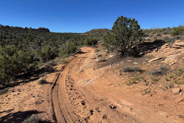
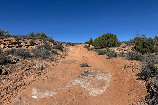
Dome Plateau - BLM 2129
Non-Resident OHV permits apply to ATVs, UTVs, and dirt bikes. Plated street-legal vehicles typically do not need one on legal motorized routes. This narrow out-and-back route offers a fun mix of easy cruising and light technical driving through classic high desert scenery. The trail remains one vehi...
Learn more about Dome Plateau - BLM 2129
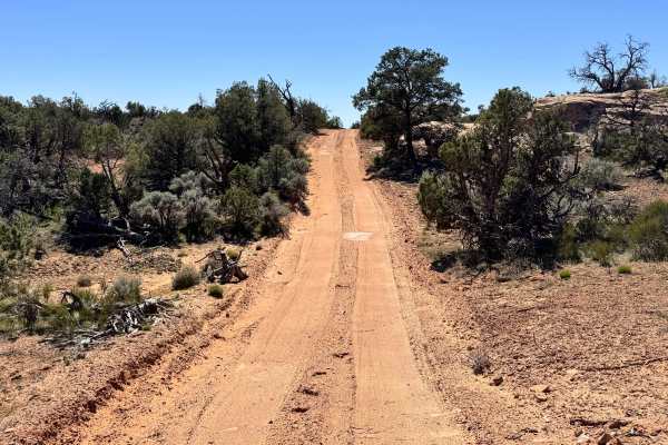
Dome Plateau - BLM 345
Non-Resident OHV permits apply to ATVs, UTVs, and dirt bikes. Plated street-legal vehicles typically do not need one on legal motorized routes. This route begins as a smooth, maintained dirt road that is easy to travel and suitable for most high-clearance 4x4s. As you continue farther in, the road t...
Learn more about Dome Plateau - BLM 345
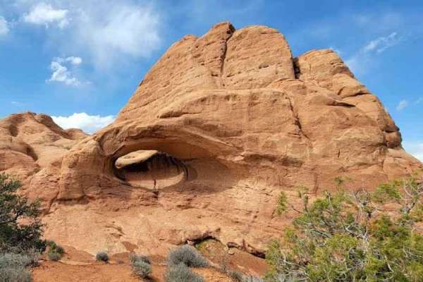
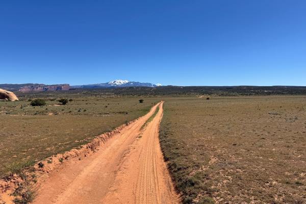
Dome Plateau
Dome Plateau-EJS is a 30.4-mile point-to-point trail rated 4 of 10 located in Emery County, Utah. Dome Plateau is a large highland area that lies to the north of the Colorado River and the east of Arches National Park. This trail has a 4 rating, and the first part is the most challenging, calling fo...
Learn more about Dome Plateau
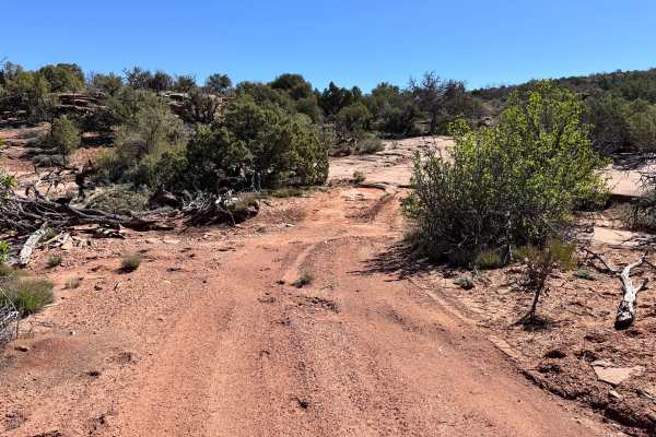
Dome Plateau Cutoff
Non-Resident OHV permits apply to ATVs, UTVs, and dirt bikes. Plated street-legal vehicles typically do not need one on legal motorized routes. This route branches off Dome Plateau and serves as a useful alternate line for travelers looking to avoid congestion on the main trail. It can also be an im...
Learn more about Dome Plateau Cutoff
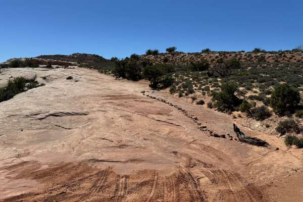
Dome Plateau Connector
This route delivers a more technical experience than its sandy surface first suggests. Although the trail has a sand base in many sections, it is heavily littered with rock and quickly turns into a rugged backcountry drive. The route drops down and travels briefly through a creek bed, where uneven t...
Learn more about Dome Plateau Connector