Dominguez Falls
Total Miles
1.7
Technical Rating
Best Time
Spring, Winter, Summer, Fall
Trail Type
Full-Width Road
Accessible By
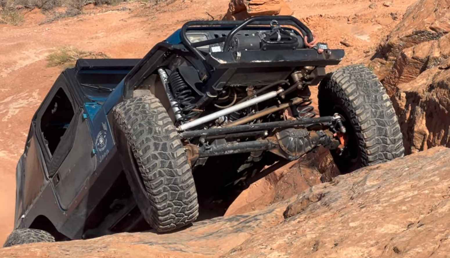
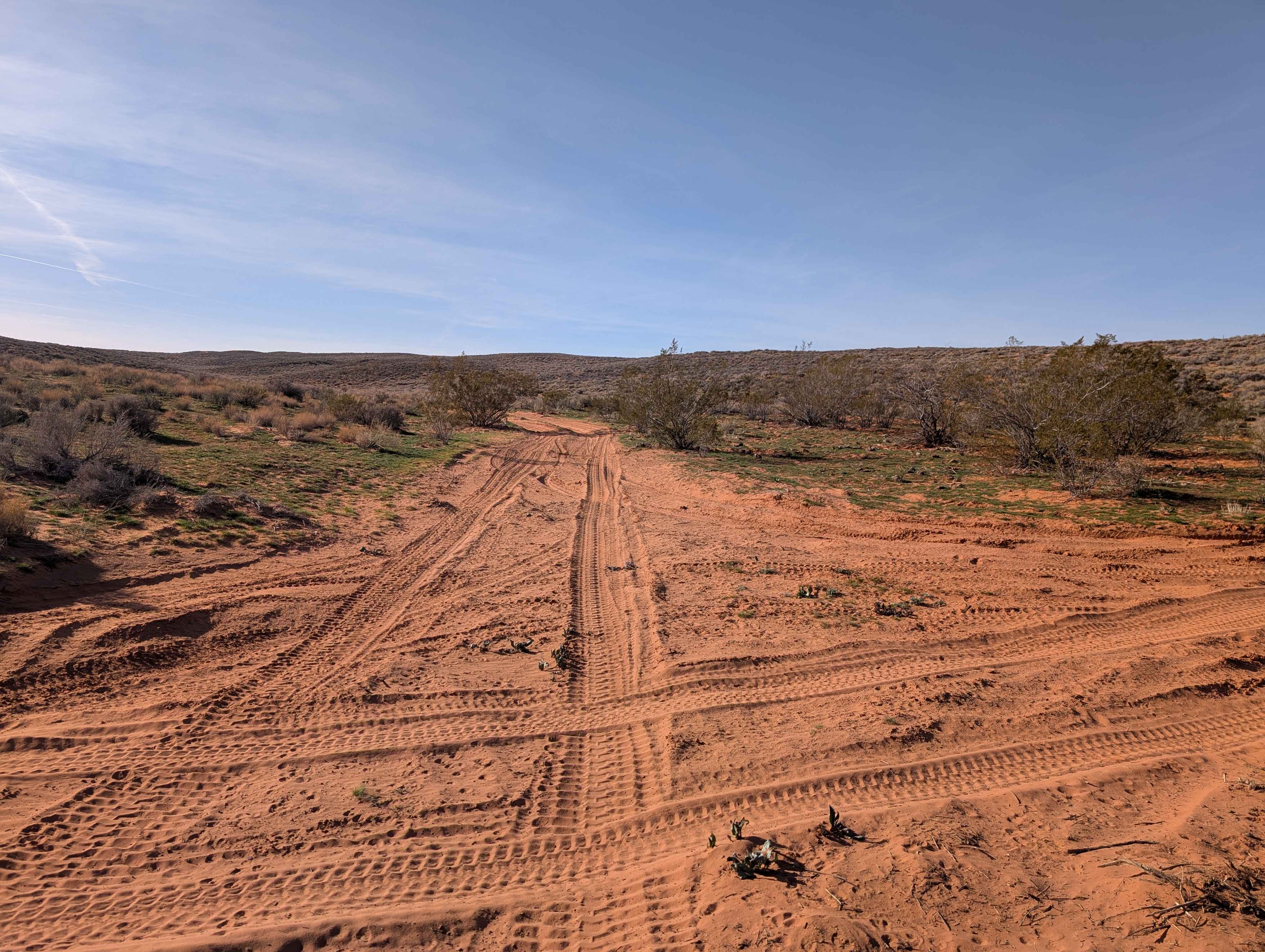
Trail Overview
Dominguez Falls is a 1.7-mile point-to-point trail rated 8 of 10 located within the Sand Mountain Open Off-Highway Vehicle Area. This 8-rated trail is a challenging, rock-crawling trail known for its tight, rocky sections, technical obstacles, and scenic views. There are quite a few large obstacles on this trail with off-camber climbs, "V" notches, and tight turning climbs. A favorite of local drivers is the obstacle "Dirty Dr. Pepper," which will test the vehicle's flex while making the climb. The trailhead is an unassuming open wash among the rolling hills. As the wash turns, the first obstacle of a series of obstacles is an 8-foot waterfall leading, crosses the rocks, and drops back onto a downhill rock face called "The Boat Ramp." This leads to the biggest obstacle, the tricky off-camber climb on "Dirty Dr. Pepper." A short dirt/rock transition leads to the "Drop In" into the canyon. There are two approaches to the canyon. The first is for those who enjoy high risk, where the vehicle will have to be driven side slope on loose rocky terrain, and will align the vehicle at the beginning of the canyon. The second approach requires a front dig on a shelf at the top of a 30-foot shelf to get lined up on the canyon entrance. Once in the canyon, there is a series of waterfalls, climbs, and tight turns until it reaches the top of the canyon. A short transition across the plateau and connector trail, and the trail drops back down into the south end of SandThrax canyon. The trail will wind in and out of the canyon and eventually follow it north to the trail exit. There are several optional, difficult exits for those so inclined for a more difficult exit. Cellphone coverage is generally good, and the nearest services are located in Hurricane. Sand Mountain OHV is open year-round and requires a safety flag be flown while operating a motor vehicle on the mountain.
Photos of Dominguez Falls
Difficulty
Trail consists of rock, sand and considerable slickrock with many steps exceeding 48". Steep inclines and declines are prevalent. Enhanced off-road equipment is required, including locking devices (front & rear), 37" tires, maximum vehicle ground clearance, and winch points. A winch is desirable. Excellent driving skills are required. Vehicle mechanical or body damage is likely. Rollover possibilities exist.
History
The trail is named after Franciscan priests, Atanasio Dominguez, who, along with Silvestre Velez de Escalante, who in 1777 led a Spanish expedition to find an overland route from Santa Fe, New Mexico, to the mission in Monterey, California. The expedition route crossed what today is Sand Mountain OHV Recreational Area.
Status Reports
Dominguez Falls can be accessed by the following ride types:
- High-Clearance 4x4
- SUV
- SxS (60")
Dominguez Falls Map
Popular Trails
Spring Road Loop CR 20035

North Fork Manti Canyon - FR50046
Page Ranch Road-FR30029
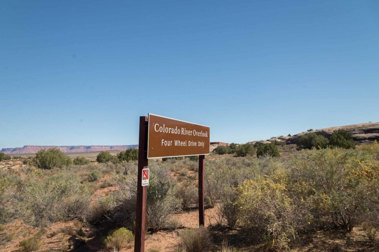
Colorado River Overlook
The onX Offroad Difference
onX Offroad combines trail photos, descriptions, difficulty ratings, width restrictions, seasonality, and more in a user-friendly interface. Available on all devices, with offline access and full compatibility with CarPlay and Android Auto. Discover what you’re missing today!