Off-Road Trails in Utah
Discover off-road trails in Utah
Learn more about Deadman Point
Deadman Point
Total Miles
14.7
Tech Rating
Easy
Best Time
Spring, Summer, Fall, Winter
Learn more about Deadman Springs
Deadman Springs
Total Miles
23.2
Tech Rating
Easy
Best Time
Spring, Summer, Fall, Winter
Learn more about Dealership Draw
Dealership Draw
Total Miles
1.5
Tech Rating
Difficult
Best Time
Winter, Fall, Spring
Learn more about Death Canyon
Death Canyon
Total Miles
3.3
Tech Rating
Easy
Best Time
Spring, Summer, Fall, Winter
Learn more about Death Hollow - 50148
Death Hollow - 50148
Total Miles
3.9
Tech Rating
Easy
Best Time
Summer, Fall
Learn more about Death Row
Death Row
Total Miles
2.0
Tech Rating
Difficult
Best Time
Spring, Summer, Fall, Winter
Learn more about Dee Flat Trail 
Dee Flat Trail
Total Miles
1.5
Tech Rating
Moderate
Best Time
Spring, Winter, Fall
Learn more about Deep Creek Lake Road
Deep Creek Lake Road
Total Miles
7.6
Tech Rating
Easy
Best Time
Fall, Summer, Spring
Learn more about Deep Creek Trail
Deep Creek Trail
Total Miles
7.6
Tech Rating
Moderate
Best Time
Fall, Summer, Spring
Learn more about Deer Creek Trail
Deer Creek Trail
Total Miles
7.1
Tech Rating
Easy
Best Time
Spring, Summer, Fall
Learn more about Deer Hollow-K2155
Deer Hollow-K2155
Total Miles
2.7
Tech Rating
Easy
Best Time
Spring, Fall, Summer, Winter

Learn more about Dekleined
Dekleined
Total Miles
0.8
Tech Rating
Extreme
Best Time
Spring, Summer, Fall, Winter
Learn more about Delle Road
Delle Road
Total Miles
9.7
Tech Rating
Easy
Best Time
Spring, Summer, Fall, Winter
Learn more about Deseret Wells Road
Deseret Wells Road
Total Miles
8.6
Tech Rating
Easy
Best Time
Spring, Summer, Fall
Learn more about Desert Mountain Loop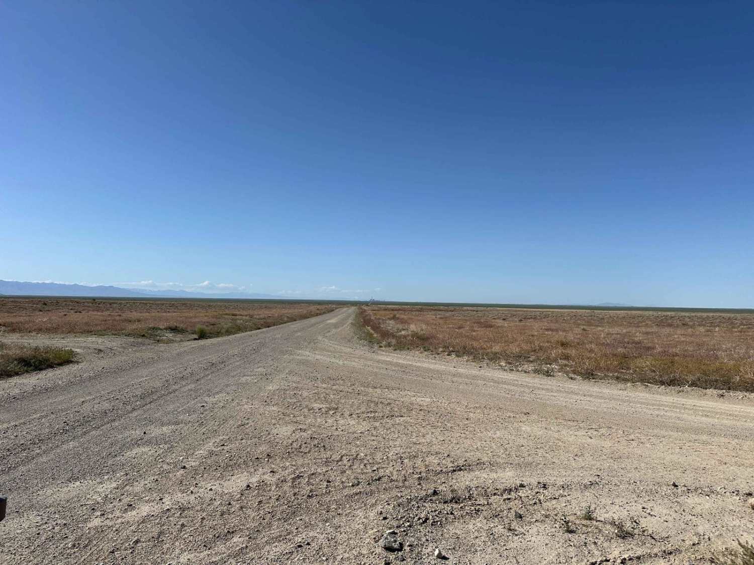
Desert Mountain Loop
Total Miles
9.2
Tech Rating
Easy
Best Time
Spring, Summer, Fall, Winter
Learn more about Desert Mountain Pass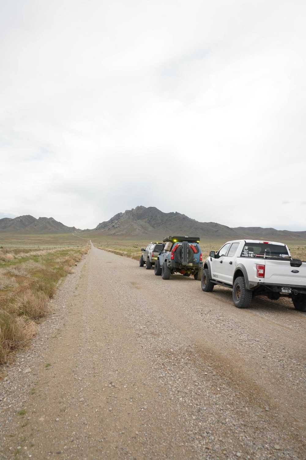
Desert Mountain Pass
Total Miles
14.5
Tech Rating
Easy
Best Time
Spring, Summer, Fall, Winter
Learn more about Desert Serenity
Desert Serenity
Total Miles
7.8
Tech Rating
Easy
Best Time
Spring, Summer, Fall, Winter
Learn more about Devil's Kitchen - CR 3551
Devil's Kitchen - CR 3551
Total Miles
4.2
Tech Rating
Easy
Best Time
Spring, Summer, Fall, Winter
ATV trails in Utah

Learn more about 14 Mile Road
14 Mile Road
Total Miles
14.7
Tech Rating
Easy
Best Time
Spring, Summer, Fall, Winter


UTV/side-by-side trails in Utah
Learn more about 14 Mile Road
14 Mile Road
Total Miles
14.7
Tech Rating
Easy
Best Time
Spring, Summer, Fall, Winter
The onX Offroad Difference
onX Offroad combines trail photos, descriptions, difficulty ratings, width restrictions, seasonality, and more in a user-friendly interface. Available on all devices, with offline access and full compatibility with CarPlay and Android Auto. Discover what you’re missing today!