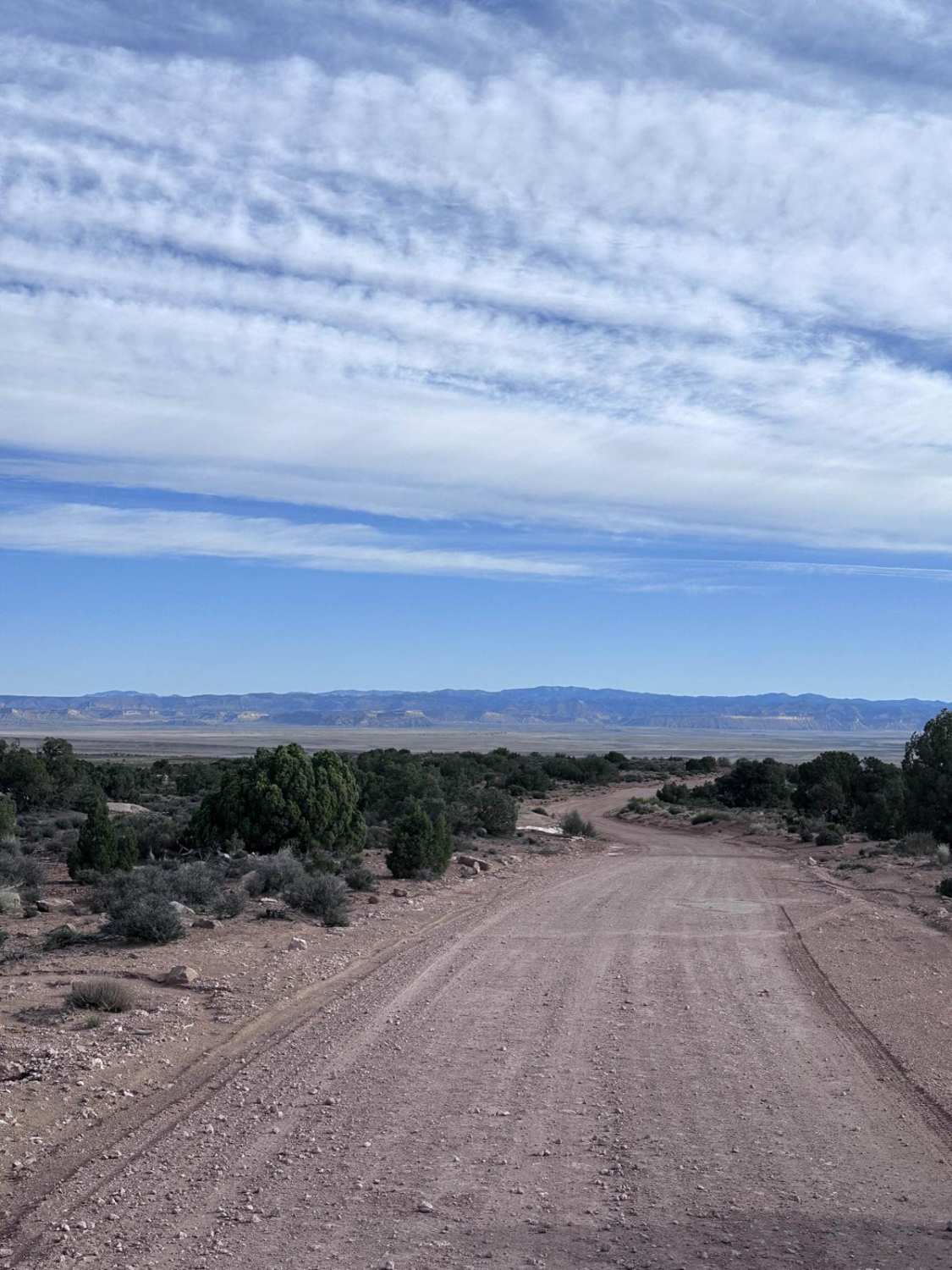
Off-Road Trails in Utah
Discover off-road trails in Utah
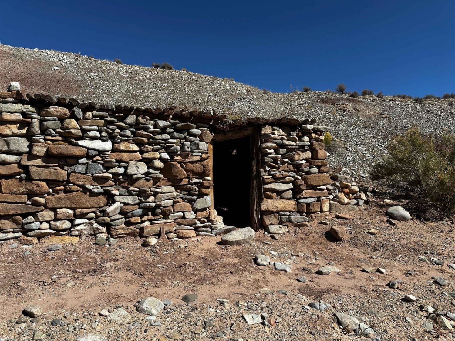
Learn more about Coyote Valley Road-BLM431
Coyote Valley Road-BLM431
Total Miles
4.0
Tech Rating
Easy
Best Time
Summer, Spring, Fall, Winter
Learn more about CR 244 Johns Canyon Road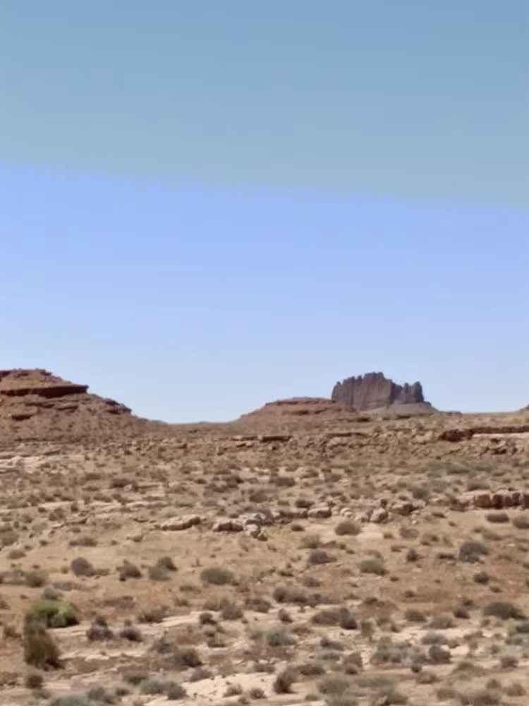
CR 244 Johns Canyon Road
Total Miles
4.4
Tech Rating
Easy
Best Time
Spring, Fall
Learn more about Crater Island
Crater Island
Total Miles
9.1
Tech Rating
Easy
Best Time
Spring, Summer, Fall
Learn more about Crescent Canyon Shortcut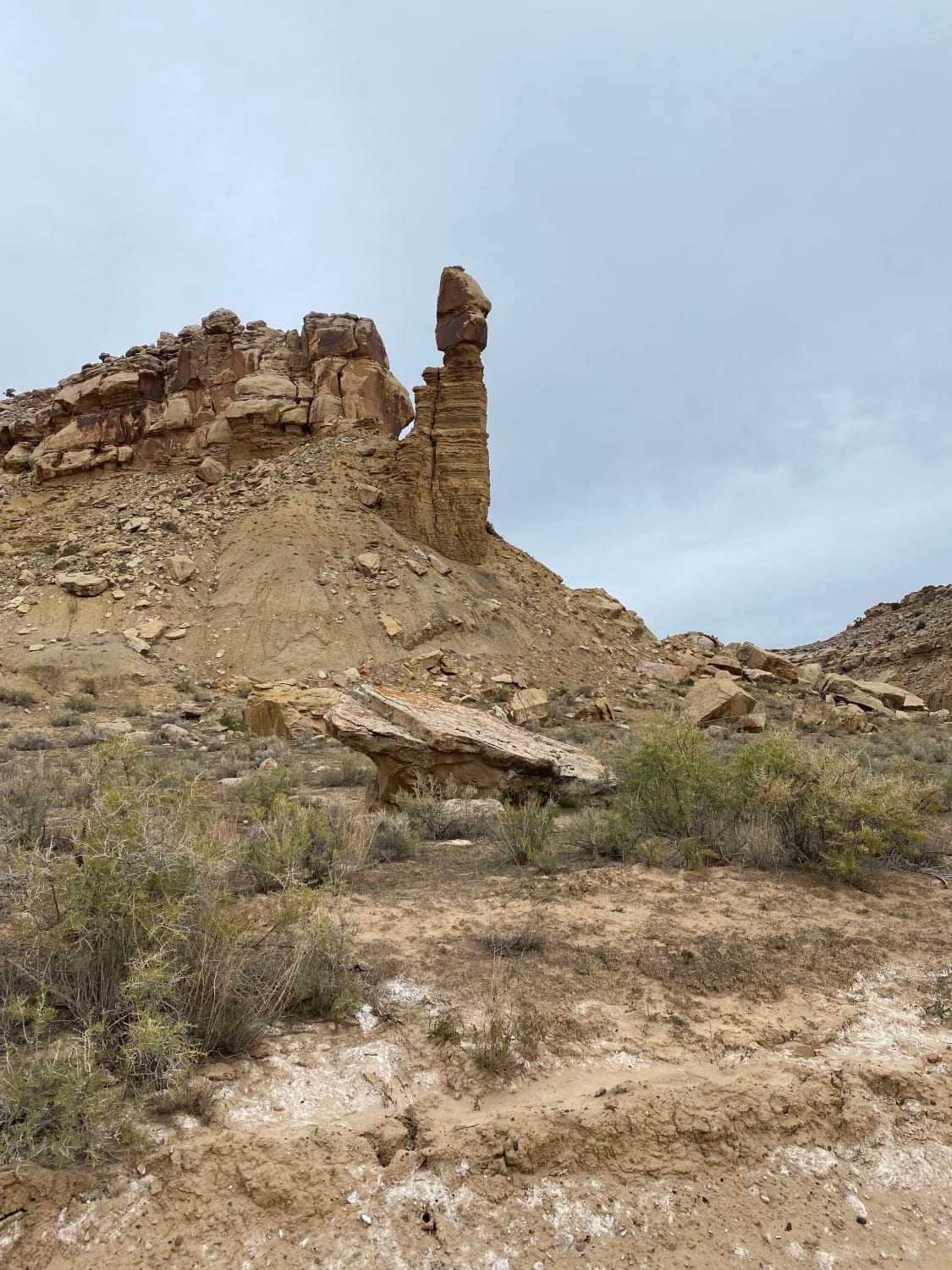
Crescent Canyon Shortcut
Total Miles
3.6
Tech Rating
Easy
Best Time
Spring, Summer, Fall, Winter
Learn more about Cresent Wash Petroglyphs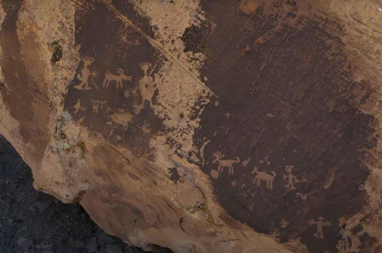
Cresent Wash Petroglyphs
Total Miles
1.8
Tech Rating
Easy
Best Time
Spring, Summer, Fall, Winter
Learn more about Cricket Mountain OHV Route 1
Cricket Mountain OHV Route 1
Total Miles
61.6
Tech Rating
Easy
Best Time
Spring, Summer, Fall, Winter
Learn more about Cricket Mountain OHV Route 11
Cricket Mountain OHV Route 11
Total Miles
7.3
Tech Rating
Easy
Best Time
Spring, Summer, Winter, Fall
Learn more about Cricket Mountain OHV Route 12
Cricket Mountain OHV Route 12
Total Miles
6.8
Tech Rating
Easy
Best Time
Spring, Summer, Fall, Winter
Learn more about Cricket Mountain OHV Route 2
Cricket Mountain OHV Route 2
Total Miles
16.8
Tech Rating
Easy
Best Time
Spring, Summer, Fall, Winter
Learn more about Cricket Mountain OHV Route 3
Cricket Mountain OHV Route 3
Total Miles
5.4
Tech Rating
Easy
Best Time
Spring, Summer, Fall, Winter
Learn more about Cricket Mountain OHV Route 4
Cricket Mountain OHV Route 4
Total Miles
2.1
Tech Rating
Easy
Best Time
Spring, Summer, Fall, Winter
Learn more about Cricket Mountain OHV Route 5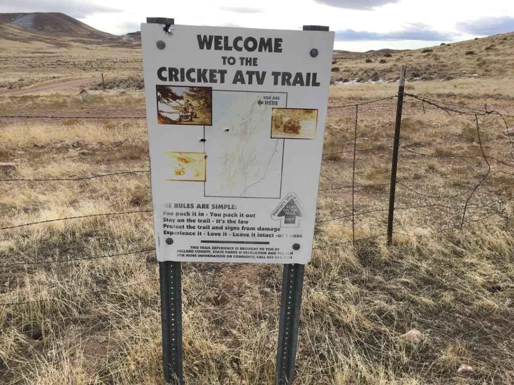
Cricket Mountain OHV Route 5
Total Miles
5.9
Tech Rating
Easy
Best Time
Spring, Summer, Fall, Winter
Learn more about Cricket Mountain OHV Route 6
Cricket Mountain OHV Route 6
Total Miles
11.9
Tech Rating
Easy
Best Time
Spring, Summer, Fall, Winter
Learn more about Cricket Mountain OHV Route 7
Cricket Mountain OHV Route 7
Total Miles
1.8
Tech Rating
Easy
Best Time
Spring, Summer, Fall, Winter
Learn more about Cricket Mountain OHV Route 9
Cricket Mountain OHV Route 9
Total Miles
4.3
Tech Rating
Easy
Best Time
Spring, Summer, Fall, Winter
Learn more about Crosby Canyon - Rec Road 231
Crosby Canyon - Rec Road 231
Total Miles
6.4
Tech Rating
Moderate
Best Time
Spring, Summer, Fall
Learn more about Cross Border Excursion
Cross Border Excursion
Total Miles
10.8
Tech Rating
Easy
Best Time
Spring, Summer, Fall
ATV trails in Utah

Learn more about 14 Mile Road
14 Mile Road
Total Miles
14.7
Tech Rating
Easy
Best Time
Spring, Summer, Fall, Winter


UTV/side-by-side trails in Utah
Learn more about 14 Mile Road
14 Mile Road
Total Miles
14.7
Tech Rating
Easy
Best Time
Spring, Summer, Fall, Winter
The onX Offroad Difference
onX Offroad combines trail photos, descriptions, difficulty ratings, width restrictions, seasonality, and more in a user-friendly interface. Available on all devices, with offline access and full compatibility with CarPlay and Android Auto. Discover what you’re missing today!