Off-Road Trails in Utah
Discover off-road trails in Utah
Learn more about Cisco Claymore Hills Connector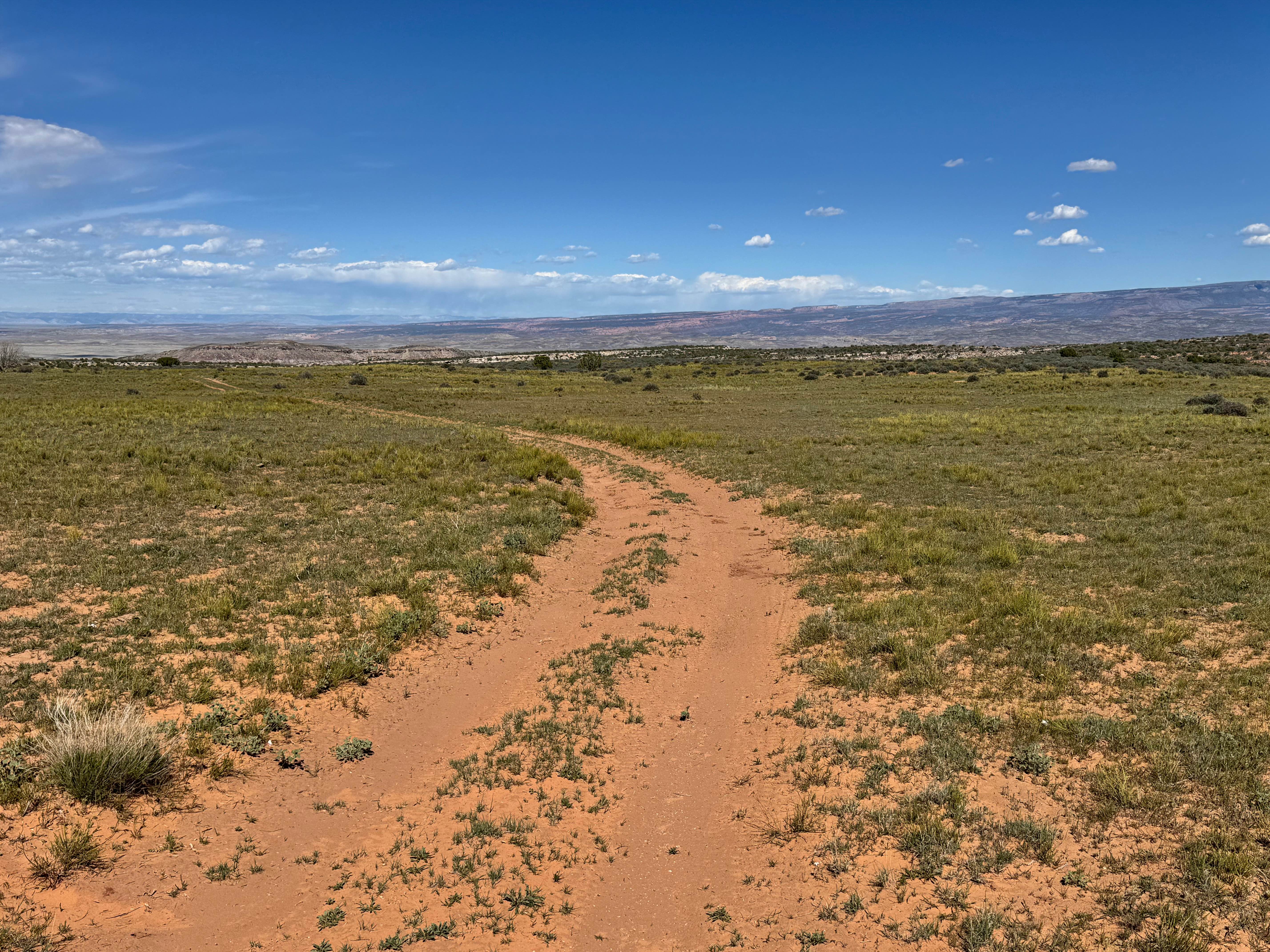
Cisco Claymore Hills Connector
Total Miles
1.6
Tech Rating
Easy
Best Time
Spring, Summer, Fall, Winter
Learn more about Cisco Claymore Hills Cutoff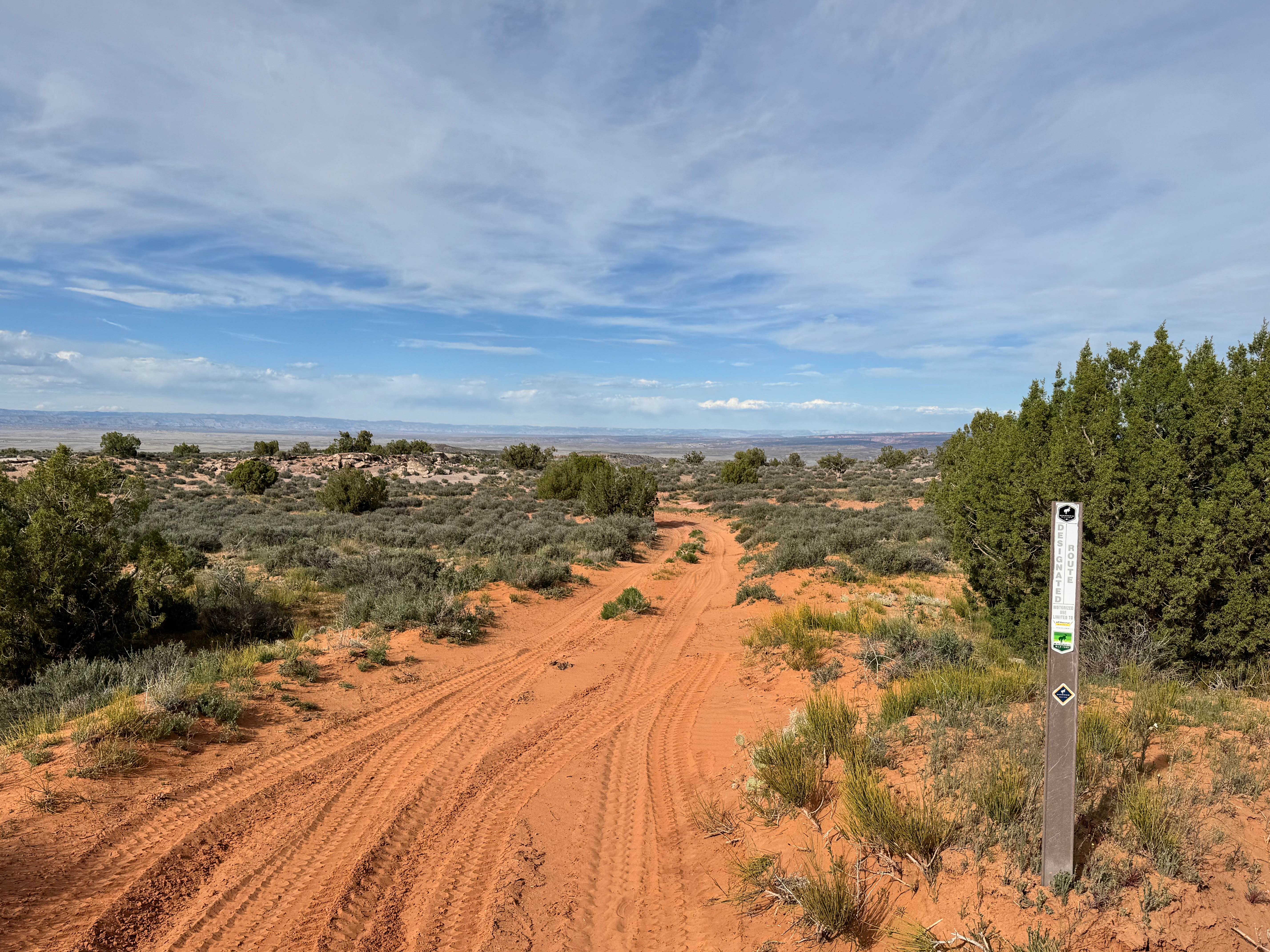
Cisco Claymore Hills Cutoff
Total Miles
1.7
Tech Rating
Easy
Best Time
Spring, Summer, Fall, Winter
Learn more about City Creek Canyon (FS# 40133)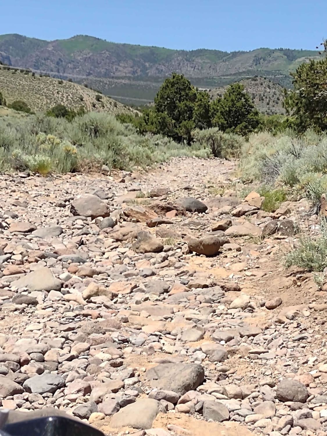
City Creek Canyon (FS# 40133)
Total Miles
4.4
Tech Rating
Easy
Best Time
Spring, Summer, Fall
Learn more about Clay Deposit Road-FR30274
Clay Deposit Road-FR30274
Total Miles
8.3
Tech Rating
Easy
Best Time
Spring, Summer, Fall, Winter
Learn more about Clay Point South-BLM13225
Clay Point South-BLM13225
Total Miles
2.0
Tech Rating
Easy
Best Time
Spring, Summer, Fall, Winter
Learn more about Clay Point-BLM13220
Clay Point-BLM13220
Total Miles
2.0
Tech Rating
Easy
Best Time
Spring, Summer, Fall, Winter
Learn more about Clear Creek
Clear Creek
Total Miles
3.2
Tech Rating
Moderate
Best Time
Fall, Summer, Spring
Learn more about Clear Creek-Woods Lake
Clear Creek-Woods Lake
Total Miles
14.6
Tech Rating
Moderate
Best Time
Spring, Summer, Fall
Learn more about Clear Creek/Mill Creek - FS #40583, PST15A
Clear Creek/Mill Creek - FS #40583, PST15A
Total Miles
1.0
Tech Rating
Easy
Best Time
Spring, Summer, Fall
Learn more about Clear Lake Road
Clear Lake Road
Total Miles
20.0
Tech Rating
Easy
Best Time
Spring, Summer, Fall, Winter
Learn more about Cliff Hanger
Cliff Hanger
Total Miles
4.3
Tech Rating
Difficult
Best Time
Spring, Summer, Fall

Learn more about Cliffs Lookout
Cliffs Lookout
Total Miles
0.8
Tech Rating
Easy
Best Time
Spring, Summer, Fall, Winter
Learn more about Cliffside Camp
Cliffside Camp
Total Miles
3.7
Tech Rating
Easy
Best Time
Spring, Summer, Fall, Winter
Learn more about Cliffside Trail to Little Creek Mesa
Cliffside Trail to Little Creek Mesa
Total Miles
4.7
Tech Rating
Difficult
Best Time
Spring, Summer, Fall
Learn more about Clyde Creek - FR 70134
Clyde Creek - FR 70134
Total Miles
5.6
Tech Rating
Easy
Best Time
Summer, Fall
Learn more about Coal Bench Road-Garfield County 7800
Coal Bench Road-Garfield County 7800
Total Miles
8.0
Tech Rating
Easy
Best Time
Spring, Summer, Fall
Learn more about Coal Canyon Road-Grand County 391
Coal Canyon Road-Grand County 391
Total Miles
9.8
Tech Rating
Easy
Best Time
Spring, Summer, Fall, Winter
Learn more about Coal Mine Road
Coal Mine Road
Total Miles
8.9
Tech Rating
Easy
Best Time
Spring, Summer, Fall
ATV trails in Utah

Learn more about 14 Mile Road
14 Mile Road
Total Miles
14.7
Tech Rating
Easy
Best Time
Spring, Summer, Fall, Winter


UTV/side-by-side trails in Utah
Learn more about 14 Mile Road
14 Mile Road
Total Miles
14.7
Tech Rating
Easy
Best Time
Spring, Summer, Fall, Winter
The onX Offroad Difference
onX Offroad combines trail photos, descriptions, difficulty ratings, width restrictions, seasonality, and more in a user-friendly interface. Available on all devices, with offline access and full compatibility with CarPlay and Android Auto. Discover what you’re missing today!