Off-Road Trails in Utah
Discover off-road trails in Utah
Learn more about Centerville Offroad Bowl Return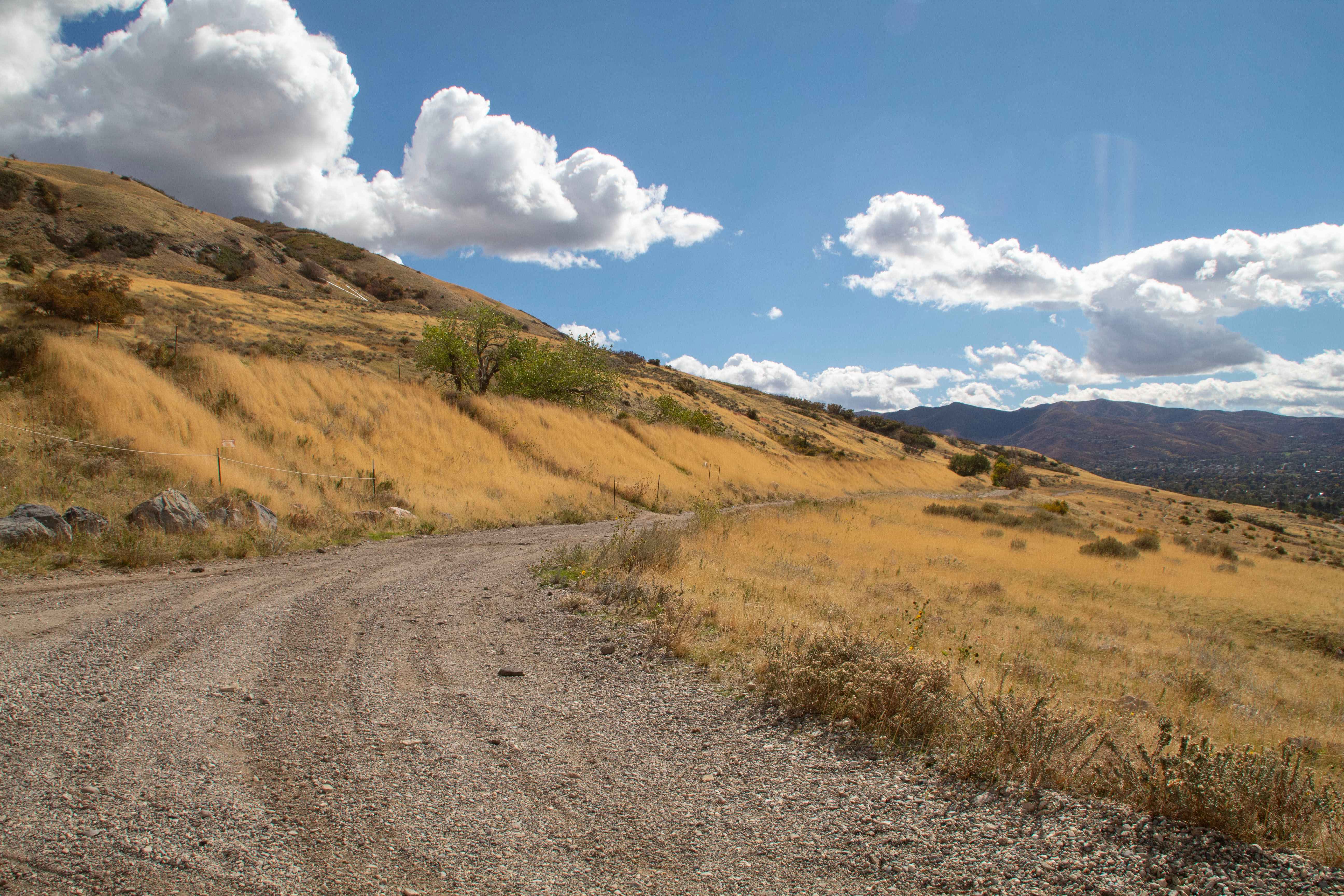
Centerville Offroad Bowl Return
Total Miles
0.5
Tech Rating
Easy
Best Time
Spring, Summer, Fall, Winter
Learn more about Centerville Offroad Bowl Upper Trail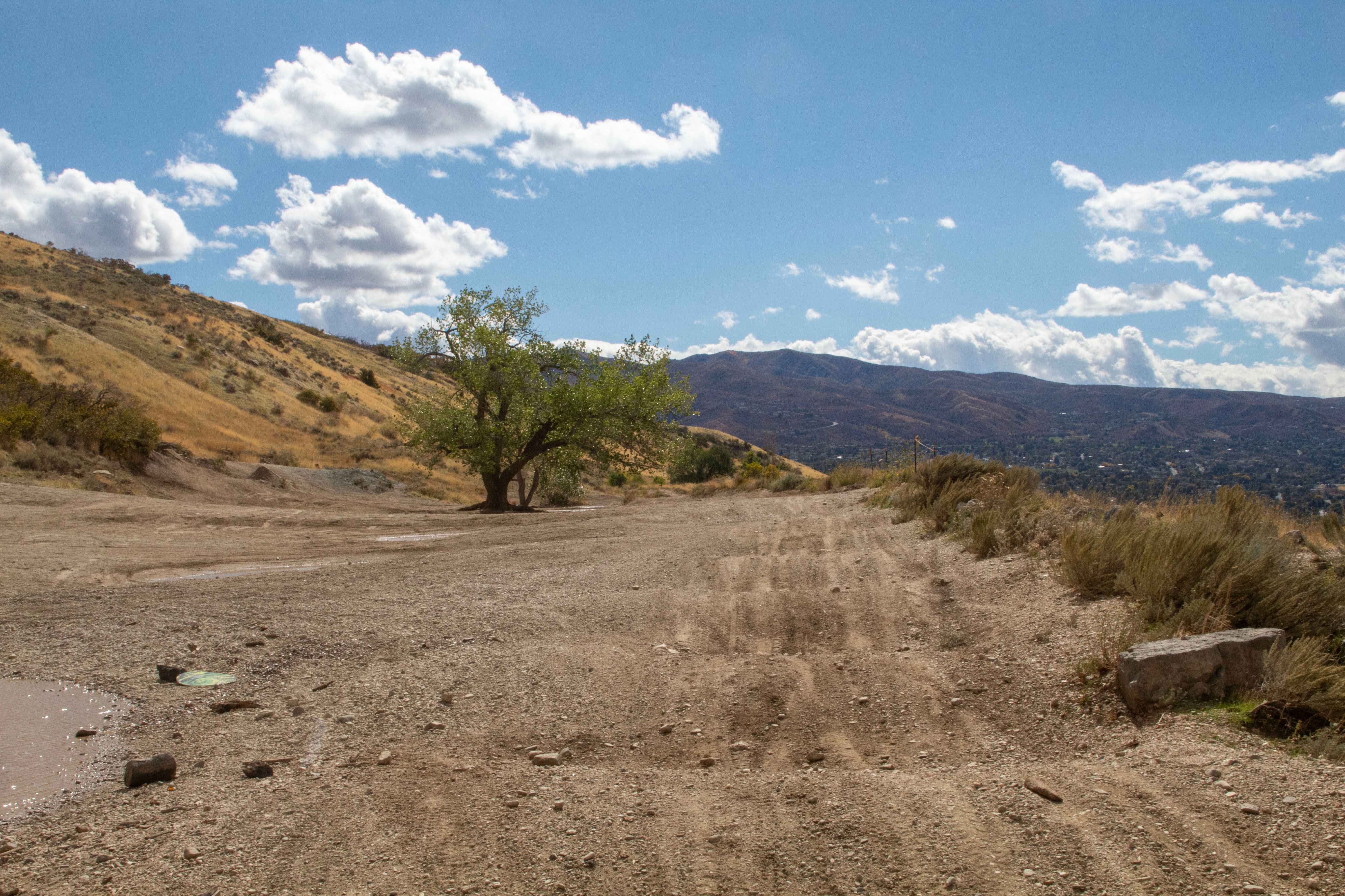
Centerville Offroad Bowl Upper Trail
Total Miles
0.5
Tech Rating
Easy
Best Time
Spring, Summer, Fall, Winter
Learn more about Chain Reaction
Chain Reaction
Total Miles
1.1
Tech Rating
Extreme
Best Time
Spring, Summer, Winter, Fall
Learn more about Chalk Creek Road/PST 03A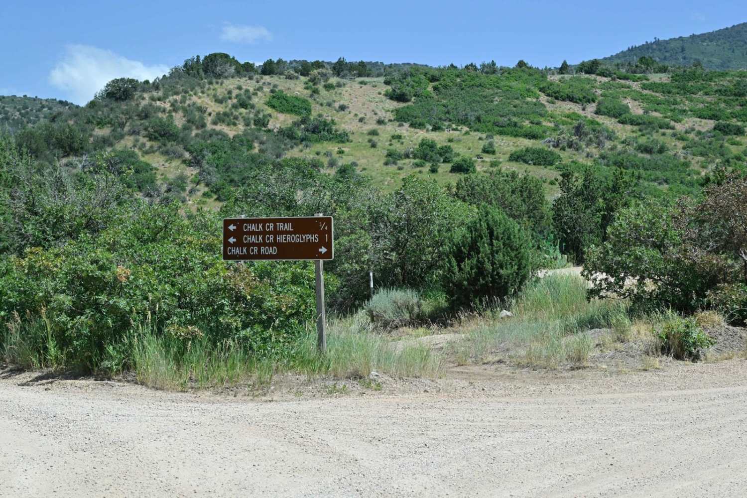
Chalk Creek Road/PST 03A
Total Miles
18.9
Tech Rating
Easy
Best Time
Spring, Summer, Fall
Learn more about Channel Your Inner Billy Goat
Channel Your Inner Billy Goat
Total Miles
6.8
Tech Rating
Easy
Best Time
Spring, Summer, Fall
Learn more about Cheese and Raisins
Cheese and Raisins
Total Miles
3.9
Tech Rating
Easy
Best Time
Spring, Fall
Learn more about Cherry Creek Road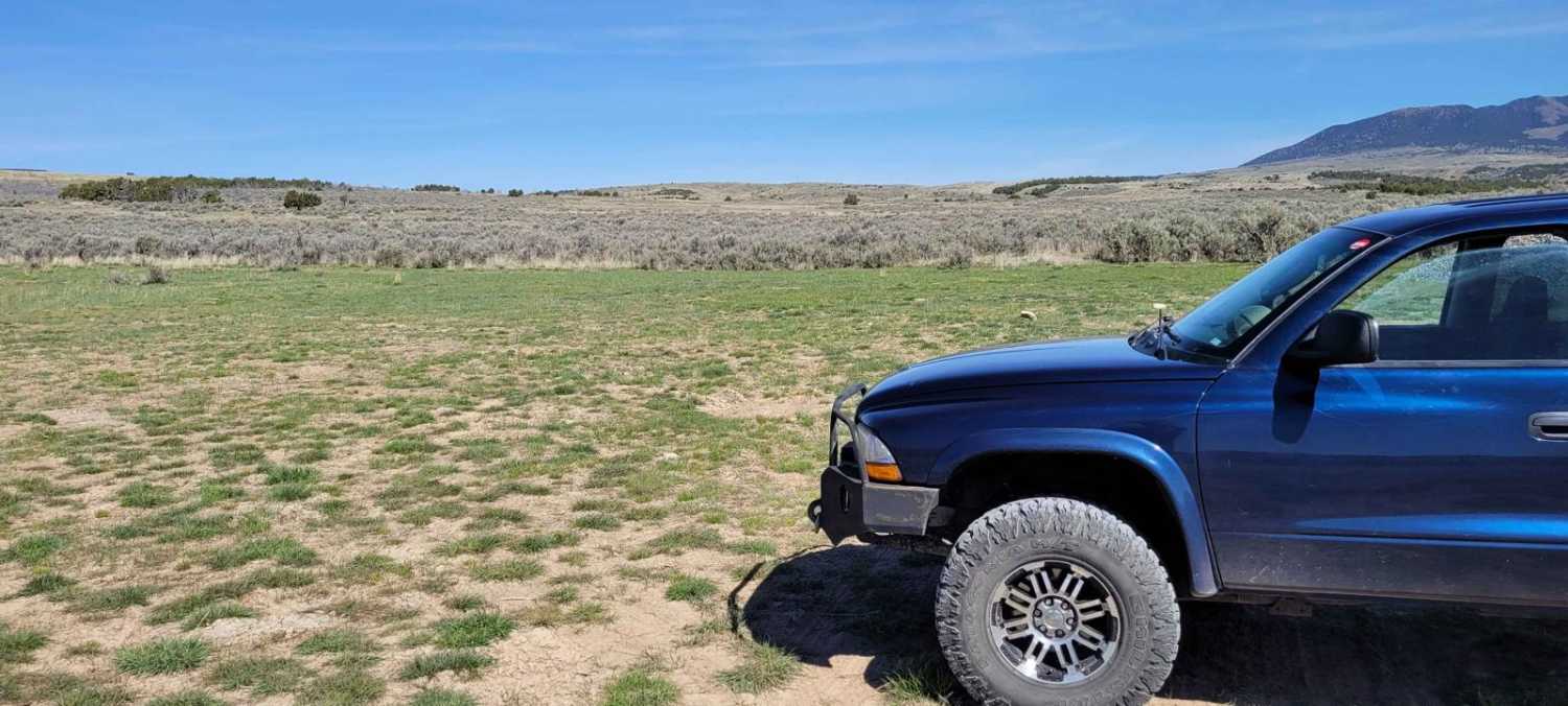
Cherry Creek Road
Total Miles
22.6
Tech Rating
Easy
Best Time
Summer, Fall, Spring
Learn more about Chicken Corners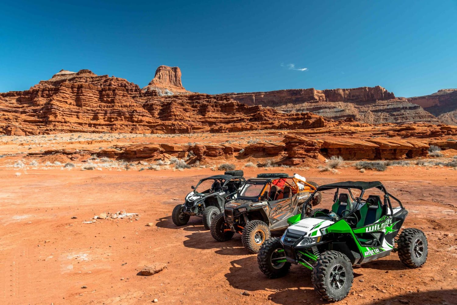
Chicken Corners
Total Miles
8.9
Tech Rating
Moderate
Best Time
Spring, Summer, Fall
Learn more about Chicken Cr (FS 70245)
Chicken Cr (FS 70245)
Total Miles
9.6
Tech Rating
Moderate
Best Time
Summer, Fall
Learn more about Chicken Creek
Chicken Creek
Total Miles
17.5
Tech Rating
Easy
Best Time
Spring, Summer, Fall, Winter
Learn more about Chimney Rock Cutoff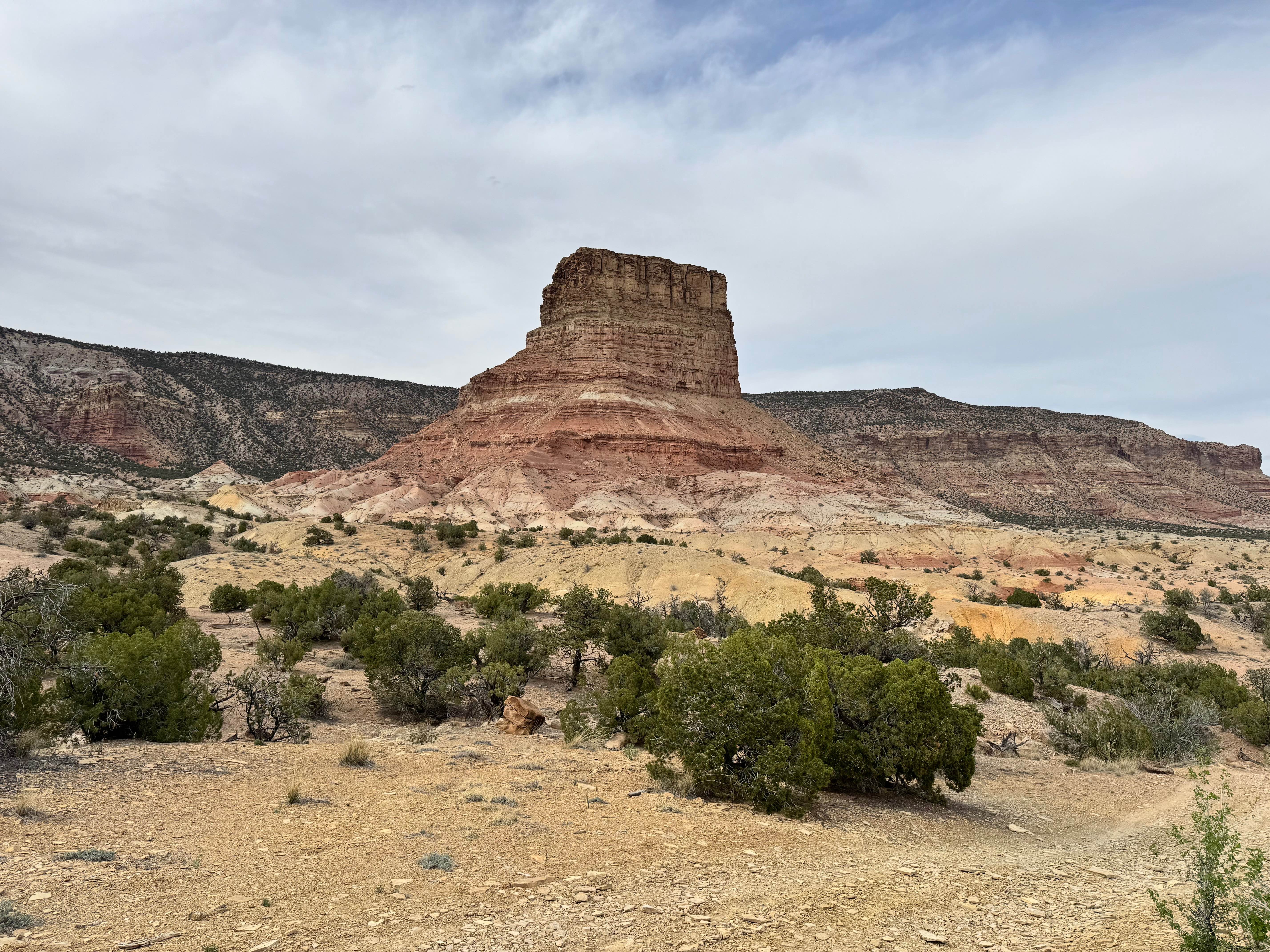
Chimney Rock Cutoff
Total Miles
1.3
Tech Rating
Moderate
Best Time
Spring, Summer, Fall
Learn more about Chimney Rock Mine Trail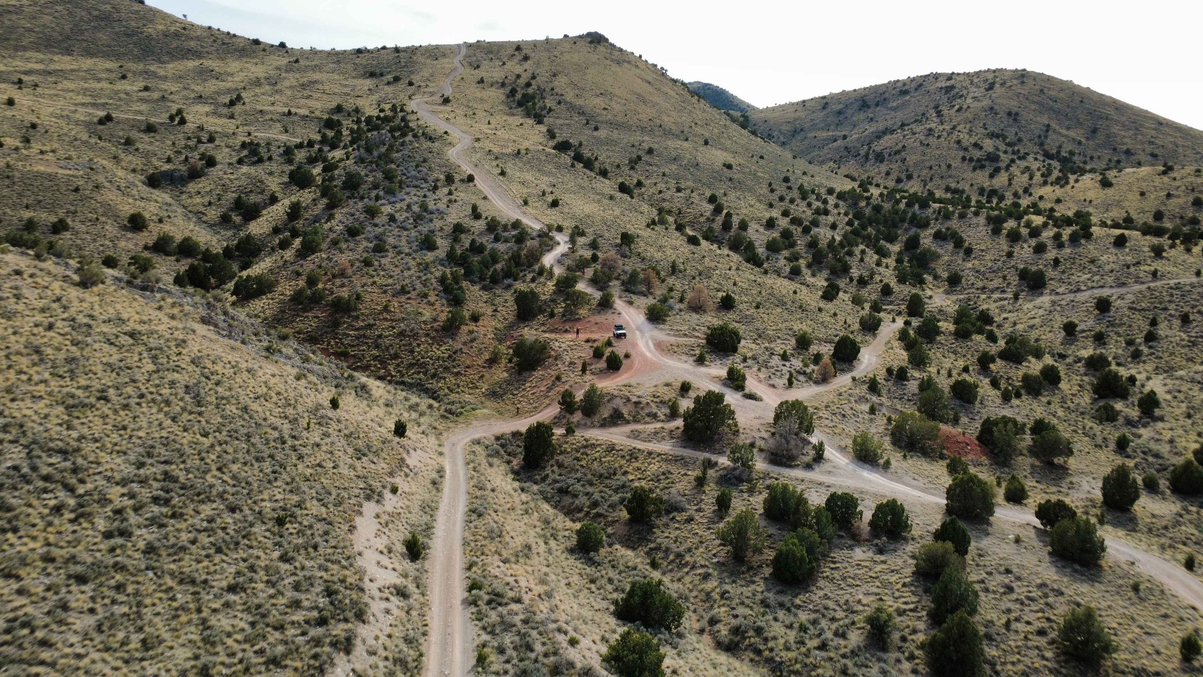
Chimney Rock Mine Trail
Total Miles
1.6
Tech Rating
Easy
Best Time
Spring, Summer, Fall, Winter
Learn more about Chimney Rock Pass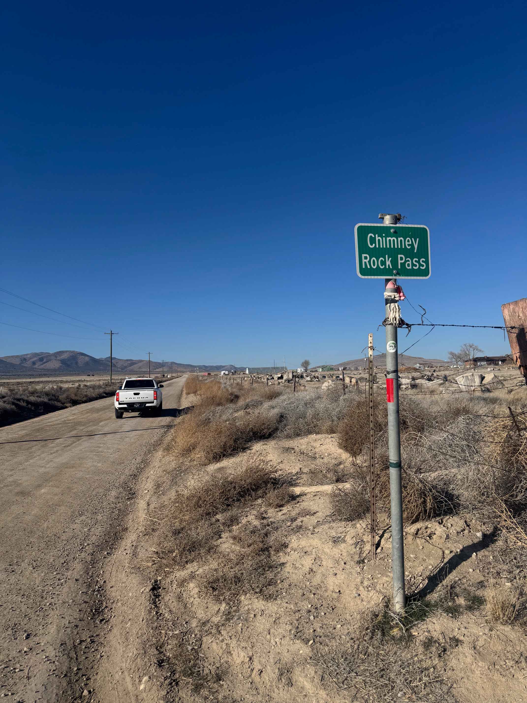
Chimney Rock Pass
Total Miles
4.5
Tech Rating
Easy
Best Time
Spring, Summer, Fall, Winter
Learn more about Chimney Rock Trail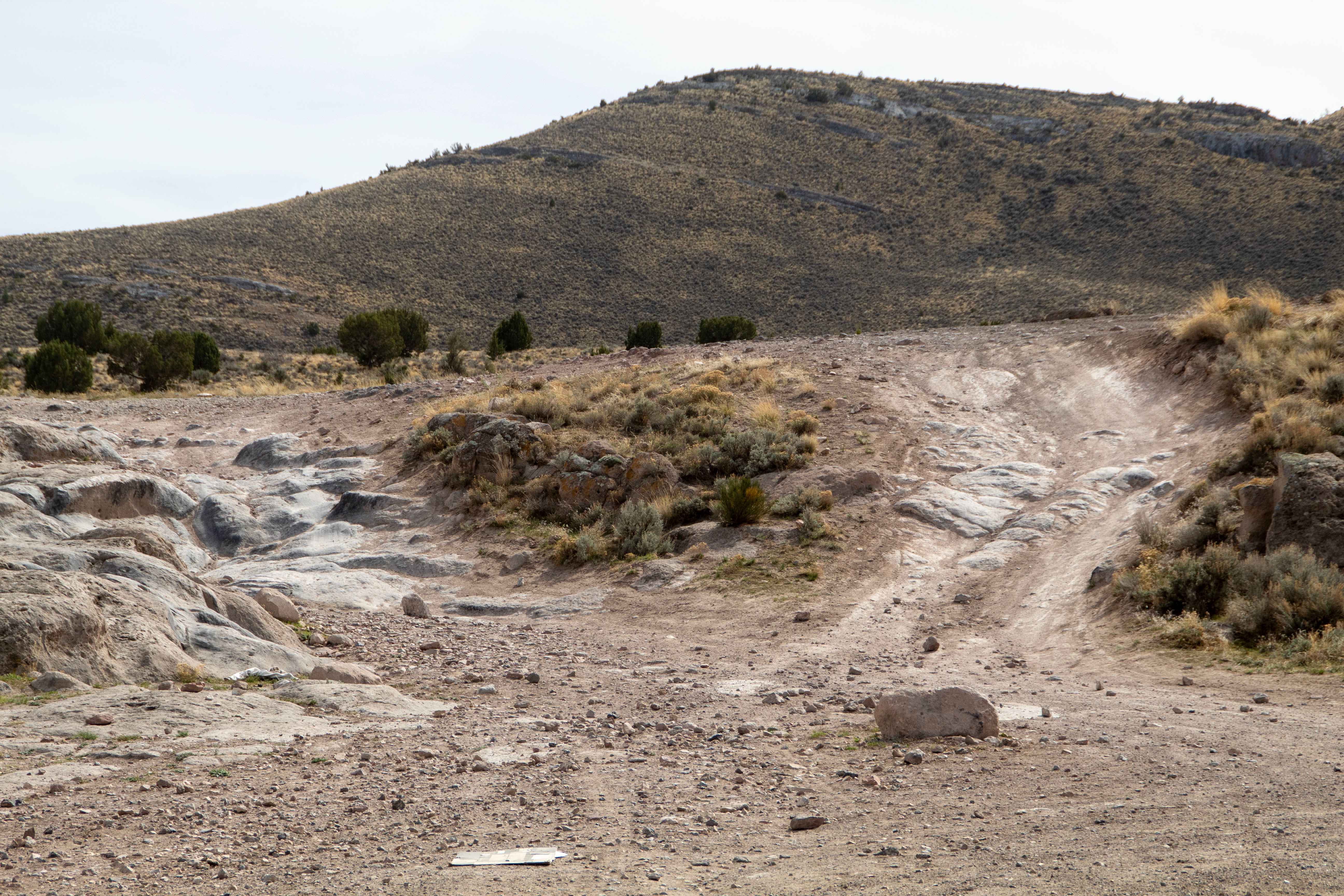
Chimney Rock Trail
Total Miles
0.3
Tech Rating
Easy
Best Time
Spring, Summer, Fall, Winter
Learn more about Chimney Rock Wash 
Chimney Rock Wash
Total Miles
2.1
Tech Rating
Easy
Best Time
Spring, Fall, Winter
Learn more about Chloride Canyon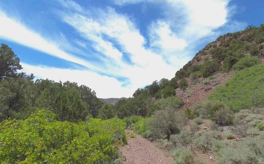
Chloride Canyon
Total Miles
6.7
Tech Rating
Easy
Best Time
Spring, Summer, Fall, Winter
Learn more about Chocolate Drop House Trail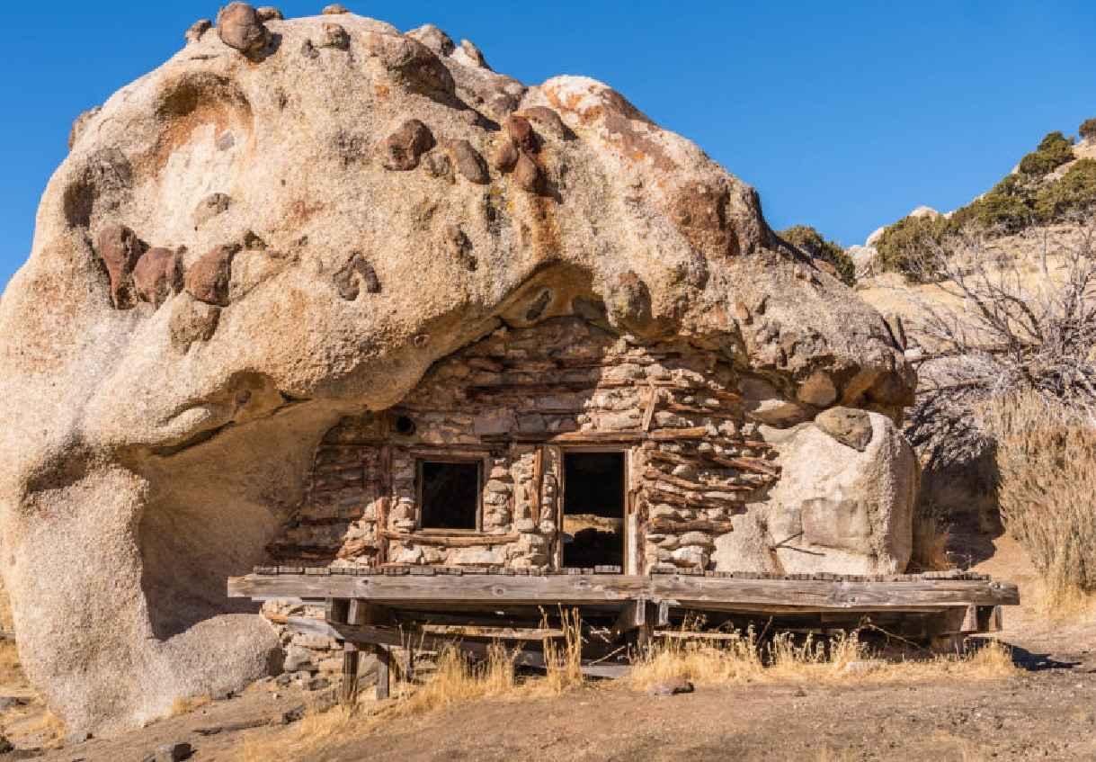
Chocolate Drop House Trail
Total Miles
4.4
Tech Rating
Easy
Best Time
Spring, Summer, Fall, Winter
Learn more about Chokecherry Point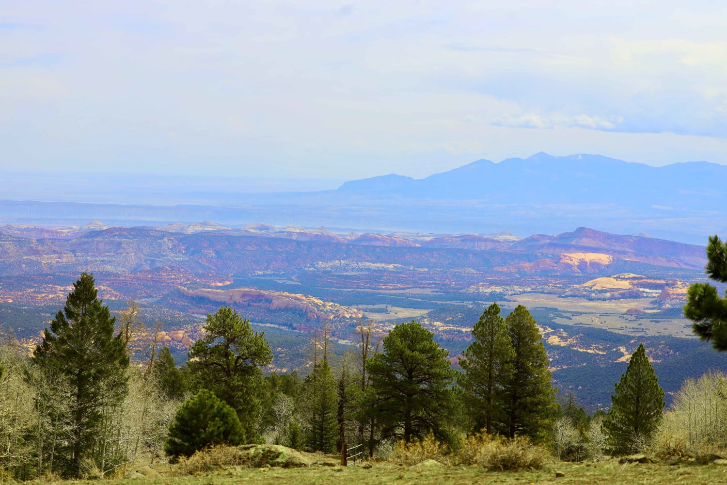
Chokecherry Point
Total Miles
3.1
Tech Rating
Moderate
Best Time
Spring, Summer, Fall
Learn more about Chutes and Ladders
Chutes and Ladders
Total Miles
0.4
Tech Rating
Extreme
Best Time
Spring, Summer, Fall, Winter
Learn more about Cir-Main Canyon - FR 70046
Cir-Main Canyon - FR 70046
Total Miles
11.2
Tech Rating
Moderate
Best Time
Summer, Fall
ATV trails in Utah

Learn more about 14 Mile Road
14 Mile Road
Total Miles
14.7
Tech Rating
Easy
Best Time
Spring, Summer, Fall, Winter


UTV/side-by-side trails in Utah
Learn more about 14 Mile Road
14 Mile Road
Total Miles
14.7
Tech Rating
Easy
Best Time
Spring, Summer, Fall, Winter
The onX Offroad Difference
onX Offroad combines trail photos, descriptions, difficulty ratings, width restrictions, seasonality, and more in a user-friendly interface. Available on all devices, with offline access and full compatibility with CarPlay and Android Auto. Discover what you’re missing today!