Off-Road Trails in Utah
Discover off-road trails in Utah
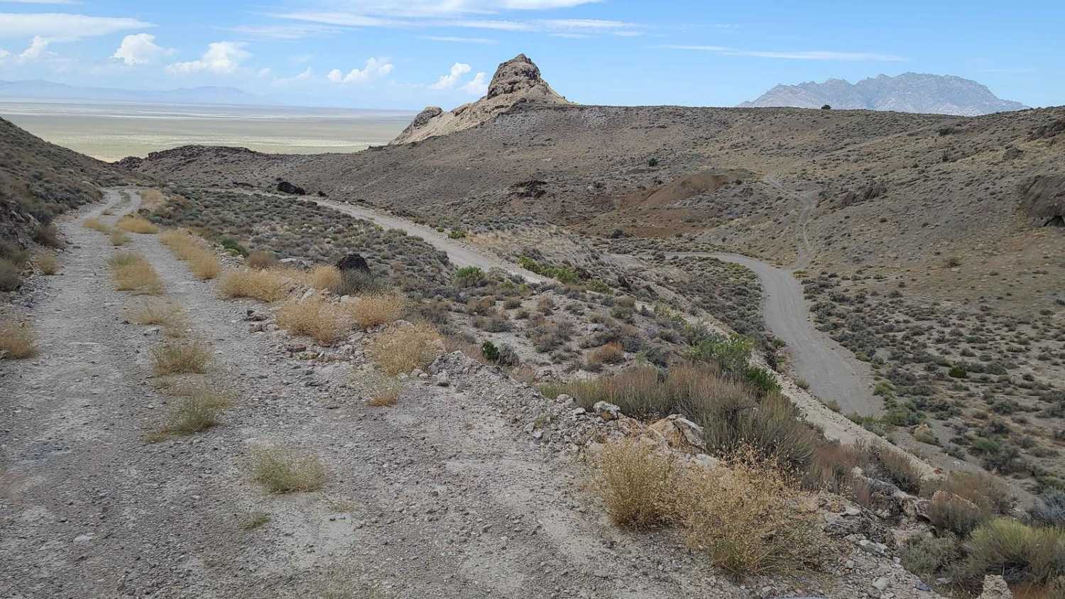
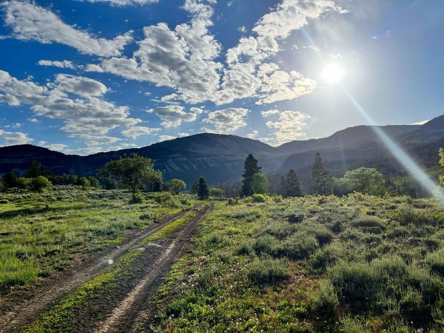
Learn more about Bull Canyon, Day Canyon
Bull Canyon, Day Canyon
Total Miles
4.6
Tech Rating
Moderate
Best Time
Spring, Summer, Fall
Learn more about Bull Creek Pass Road
Bull Creek Pass Road
Total Miles
10.7
Tech Rating
Easy
Best Time
Spring, Summer, Fall
Learn more about Bull Mountain
Bull Mountain
Total Miles
19.0
Tech Rating
Moderate
Best Time
Spring, Summer, Fall
Learn more about Bull Rush ATV Trail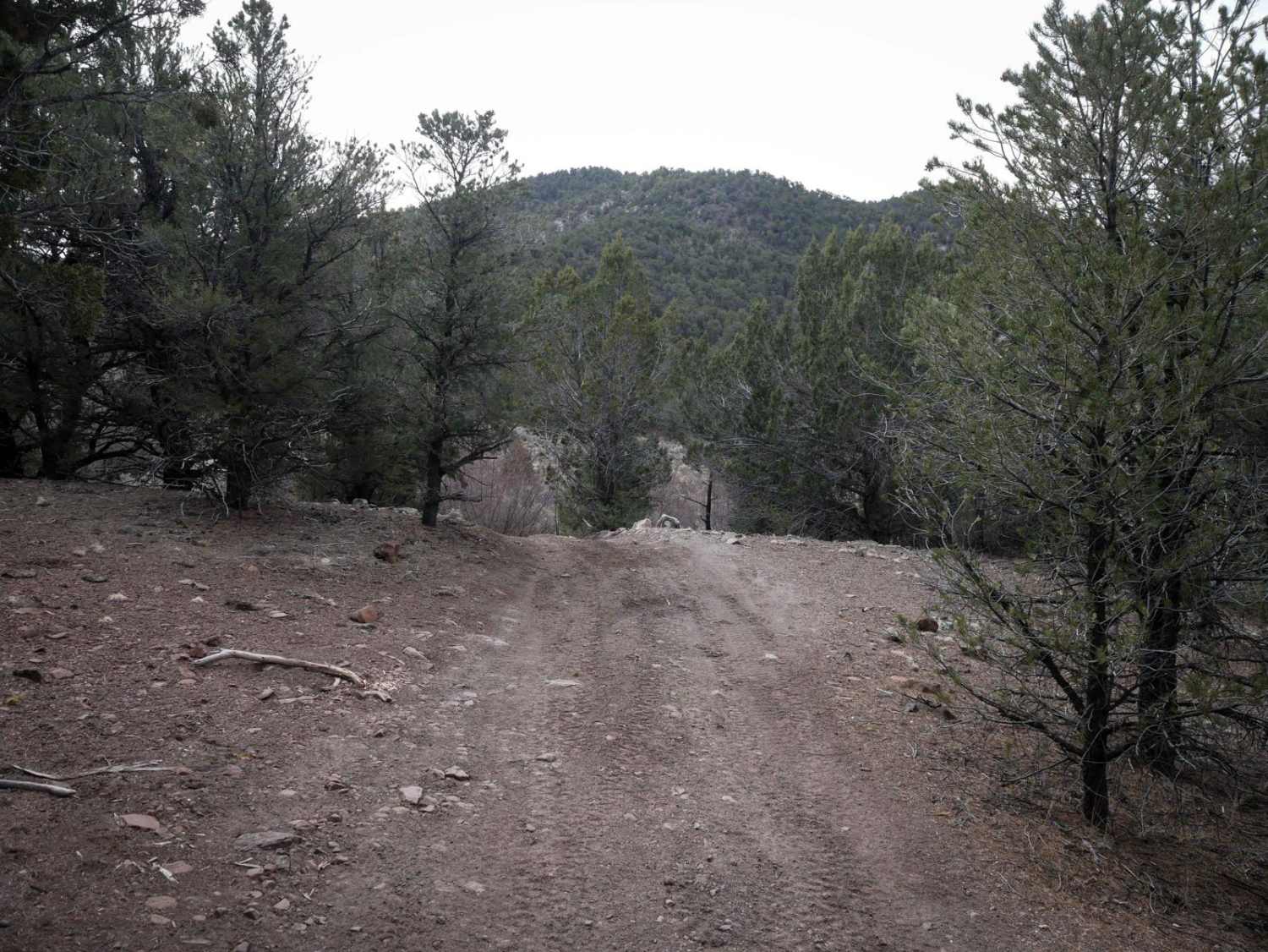
Bull Rush ATV Trail
Total Miles
3.5
Tech Rating
Easy
Best Time
Summer, Spring, Fall
Learn more about Bull Valley ATV Trail 31003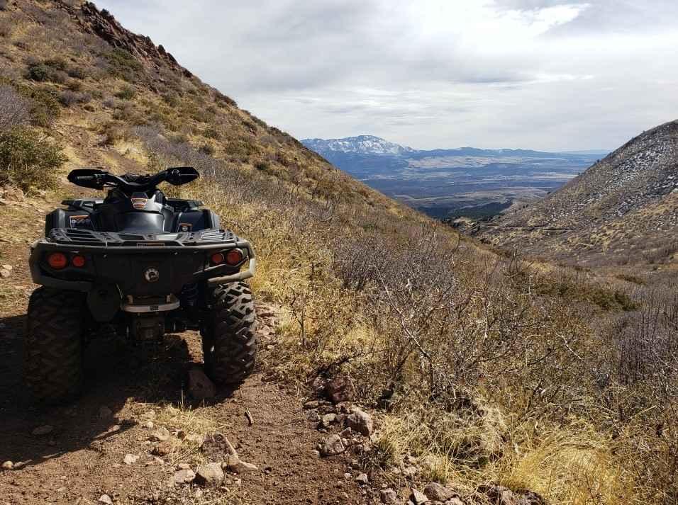
Bull Valley ATV Trail 31003
Total Miles
7.5
Tech Rating
Easy
Best Time
Spring, Summer, Fall, Winter
Learn more about Bull Valley Mountain ATV Trail Entrance Loop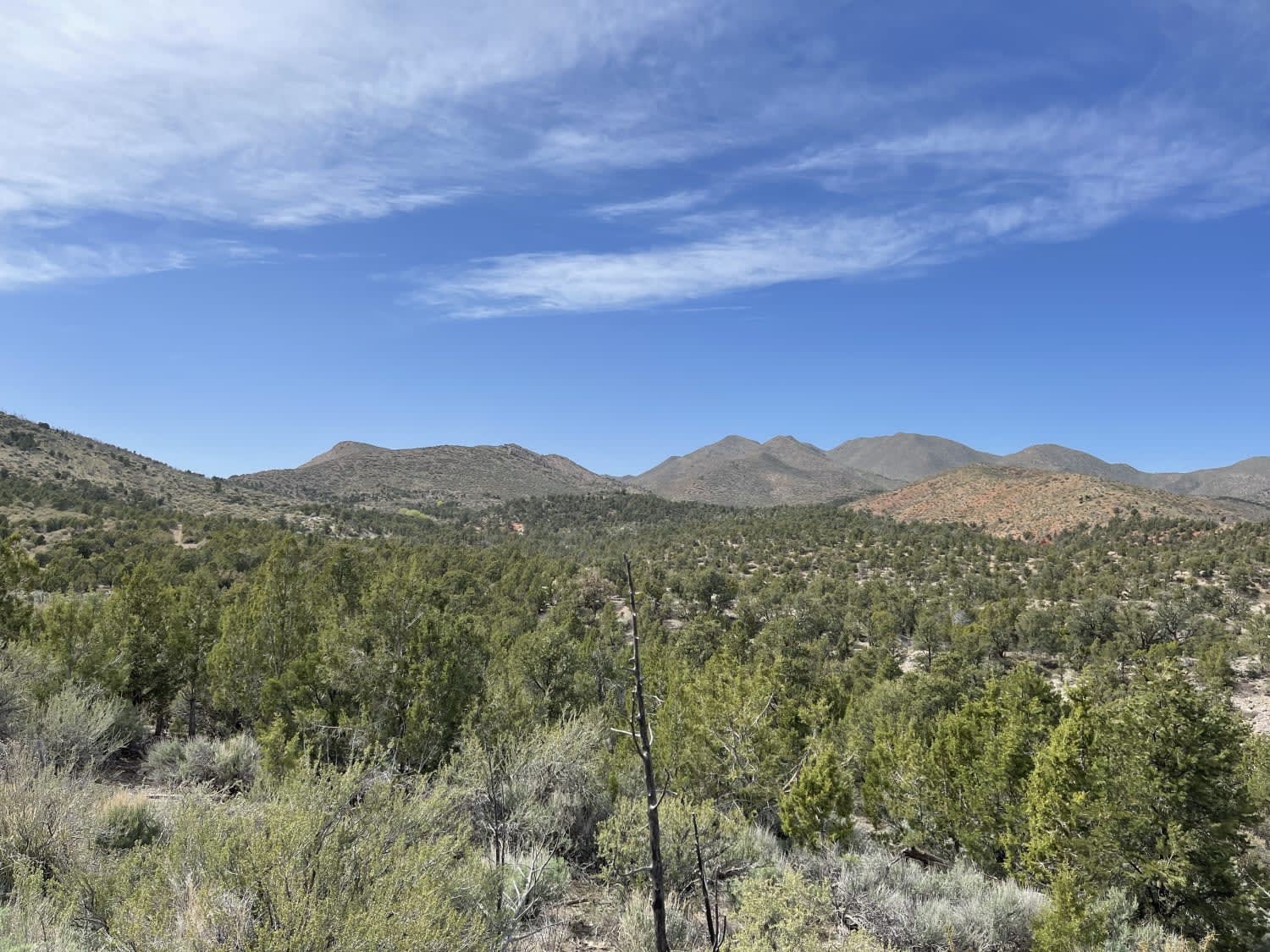
Bull Valley Mountain ATV Trail Entrance Loop
Total Miles
3.1
Tech Rating
Easy
Best Time
Fall, Spring
Learn more about Bull Valley Trail
Bull Valley Trail
Total Miles
8.3
Tech Rating
Easy
Best Time
Spring, Summer, Fall
Learn more about Bulldog Canyon Trail
Bulldog Canyon Trail
Total Miles
4.9
Tech Rating
Easy
Best Time
Spring, Summer, Fall, Winter
Learn more about Bullion Creek Falls
Bullion Creek Falls
Total Miles
0.9
Tech Rating
Easy
Best Time
Spring, Summer, Fall
Learn more about Bullion Falls Access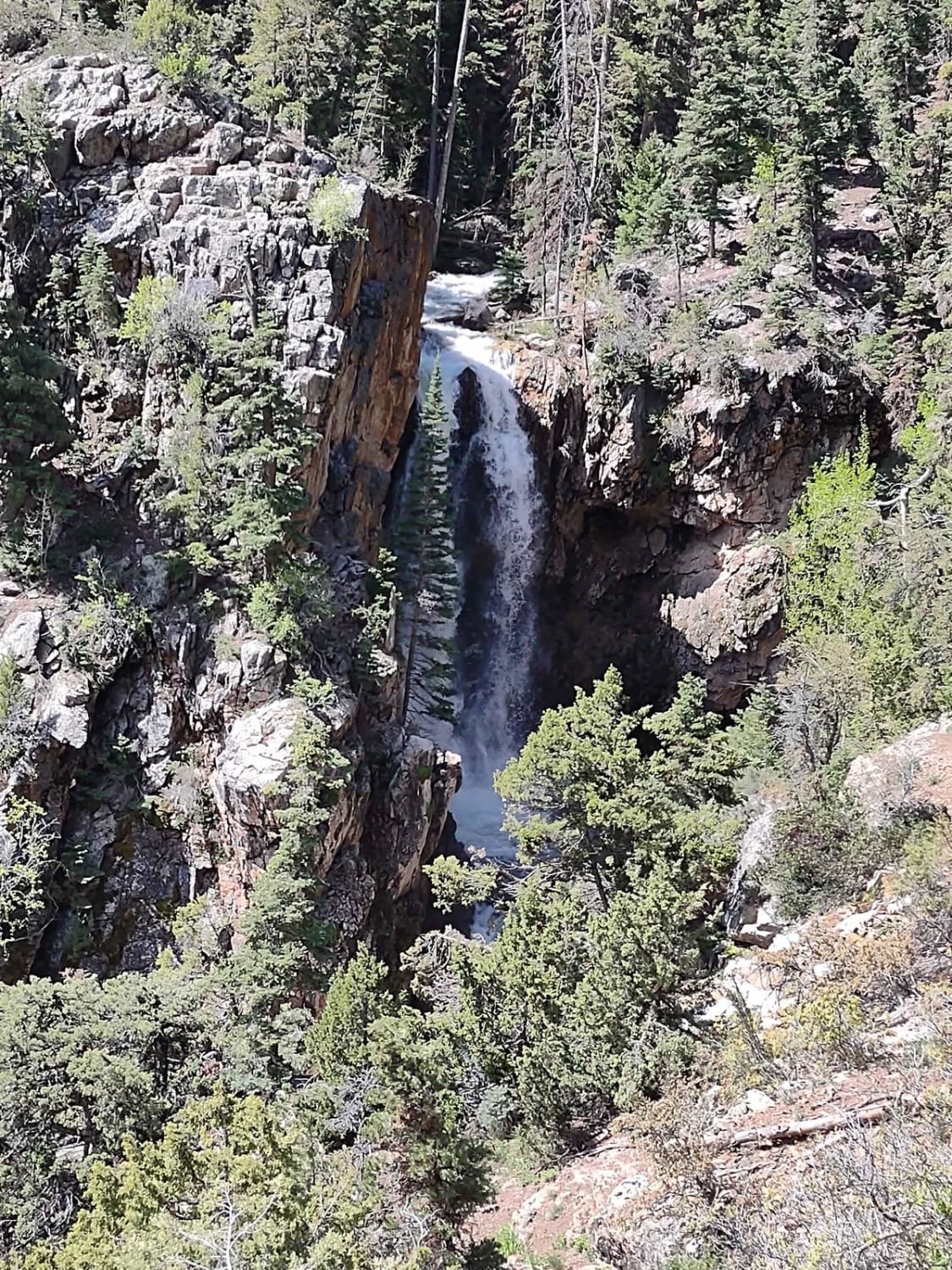
Bullion Falls Access
Total Miles
0.8
Tech Rating
Easy
Best Time
Spring, Summer, Fall
Learn more about Bullion Peak Loop
Bullion Peak Loop
Total Miles
2.3
Tech Rating
Easy
Best Time
Spring, Summer, Fall, Winter
Learn more about Burbank Hills Trail 4
Burbank Hills Trail 4
Total Miles
20.4
Tech Rating
Easy
Best Time
Spring, Summer, Fall, Winter
Learn more about Burbank Hills Trail 7
Burbank Hills Trail 7
Total Miles
23.2
Tech Rating
Easy
Best Time
Spring, Summer, Fall, Winter
Learn more about Burn Road
Burn Road
Total Miles
3.0
Tech Rating
Easy
Best Time
Spring, Summer, Fall, Winter
Learn more about Burned Aspen Loop - FS 41230
Burned Aspen Loop - FS 41230
Total Miles
1.8
Tech Rating
Easy
Best Time
Spring, Summer, Fall
Learn more about Burnt Canyon-FR30004
Burnt Canyon-FR30004
Total Miles
7.7
Tech Rating
Easy
Best Time
Spring, Fall, Summer, Winter
Learn more about Burr Trail Switchbacks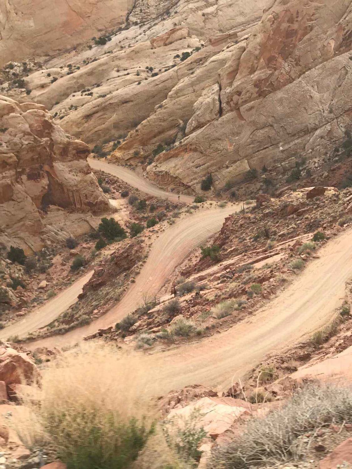
Burr Trail Switchbacks
Total Miles
5.3
Tech Rating
Easy
Best Time
Spring, Summer, Fall
ATV trails in Utah

Learn more about 14 Mile Road
14 Mile Road
Total Miles
14.7
Tech Rating
Easy
Best Time
Spring, Summer, Fall, Winter


UTV/side-by-side trails in Utah
Learn more about 14 Mile Road
14 Mile Road
Total Miles
14.7
Tech Rating
Easy
Best Time
Spring, Summer, Fall, Winter
The onX Offroad Difference
onX Offroad combines trail photos, descriptions, difficulty ratings, width restrictions, seasonality, and more in a user-friendly interface. Available on all devices, with offline access and full compatibility with CarPlay and Android Auto. Discover what you’re missing today!