Off-Road Trails in Utah
Discover off-road trails in Utah
Learn more about Bridger Jack Road - CR107
Bridger Jack Road - CR107
Total Miles
25.1
Tech Rating
Easy
Best Time
Spring, Summer, Fall
Learn more about Brigham Plains Road-BLM430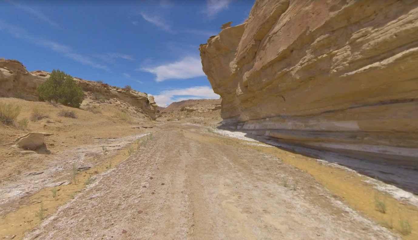
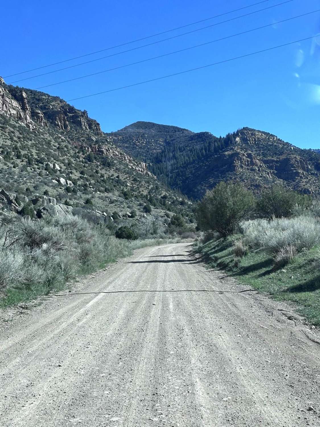
Brigham Plains Road-BLM430
Total Miles
12.0
Tech Rating
Easy
Best Time
Spring, Summer, Fall, Winter
Learn more about Brindley Dairy (FS# 40160)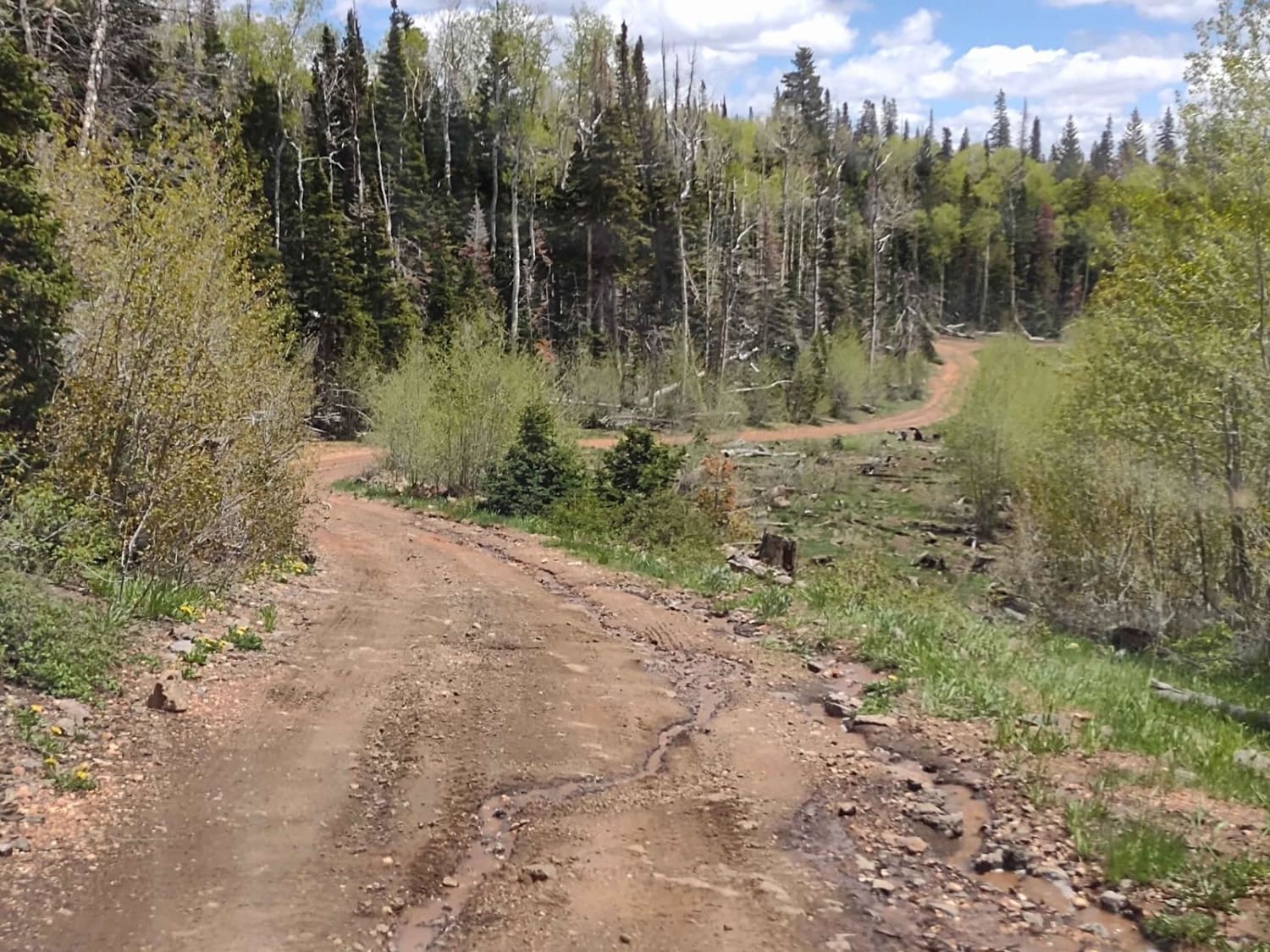
Brindley Dairy (FS# 40160)
Total Miles
2.8
Tech Rating
Easy
Best Time
Spring, Summer, Fall
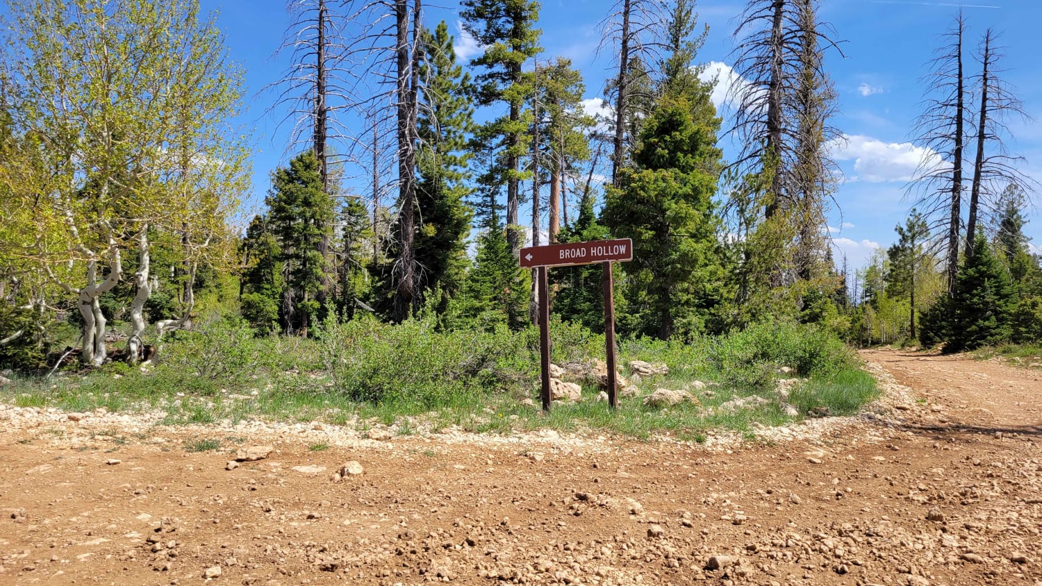
Learn more about Broad Canyon Road - UCB823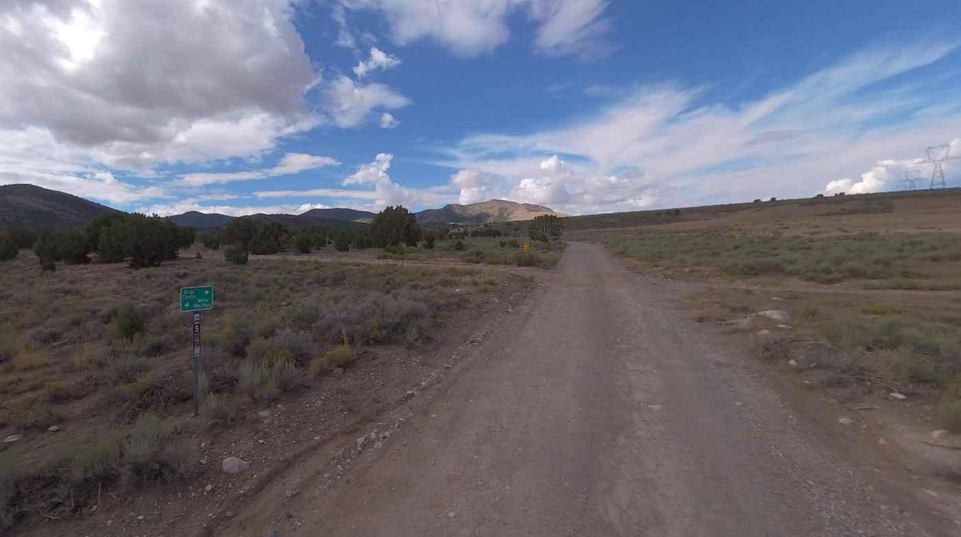
Broad Canyon Road - UCB823
Total Miles
6.3
Tech Rating
Easy
Best Time
Spring, Summer, Fall, Winter
Learn more about Brown's Hole Neoche Trail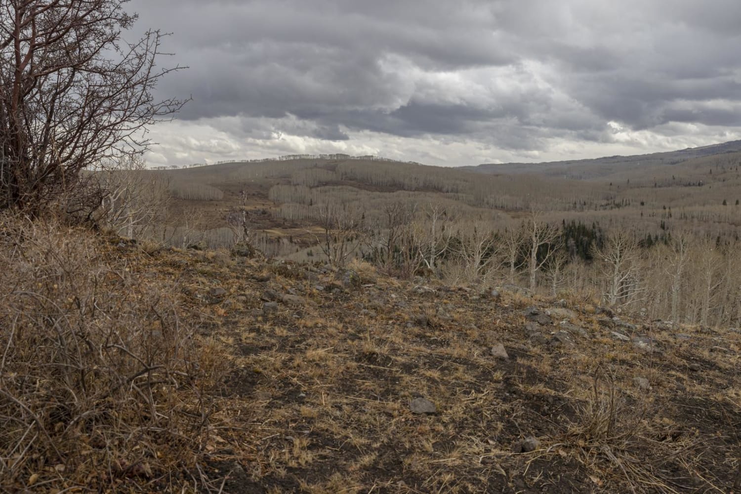
Brown's Hole Neoche Trail
Total Miles
1.5
Tech Rating
Easy
Best Time
Spring, Summer, Fall
Learn more about Browns Hole Road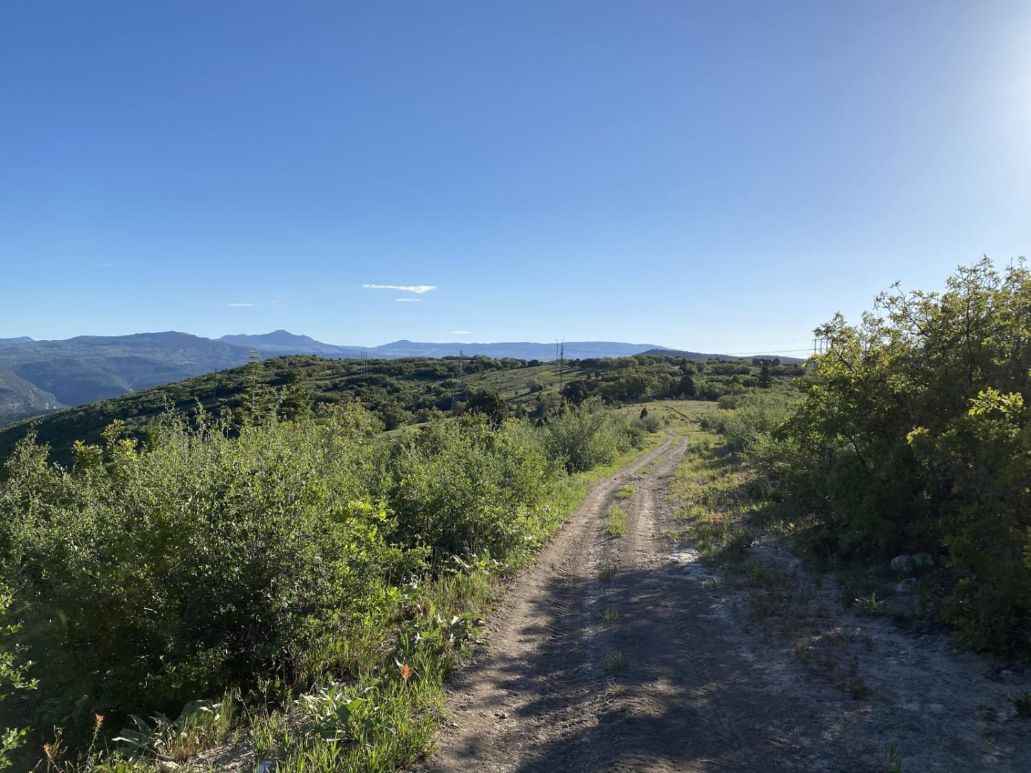
Browns Hole Road
Total Miles
3.9
Tech Rating
Easy
Best Time
Spring, Summer, Fall
Learn more about Browns Hole Trail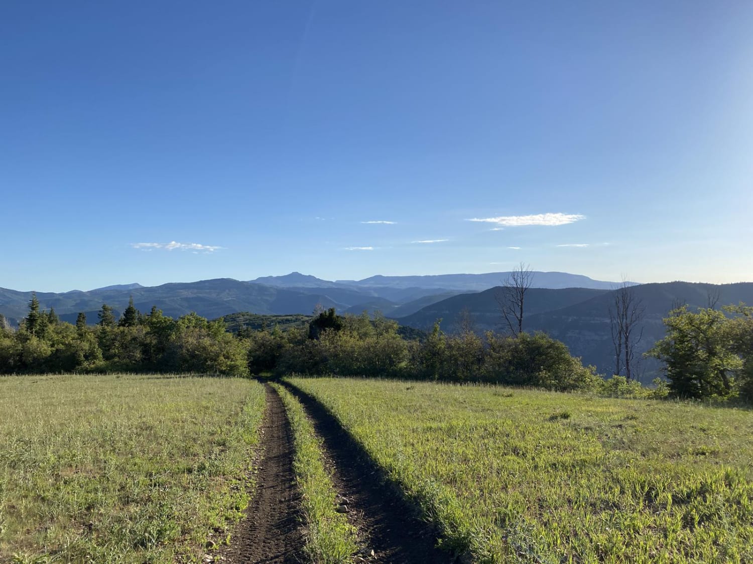
Browns Hole Trail
Total Miles
7.0
Tech Rating
Easy
Best Time
Spring, Summer, Fall
Learn more about Browse Area Guard Station-FSR30037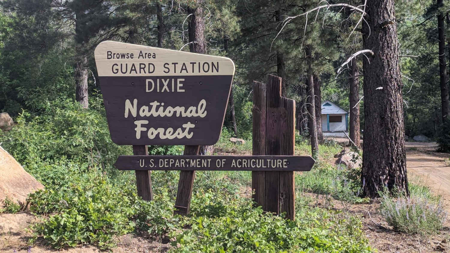
Browse Area Guard Station-FSR30037
Total Miles
7.7
Tech Rating
Easy
Best Time
Summer, Spring, Fall
Learn more about Brushy Basin 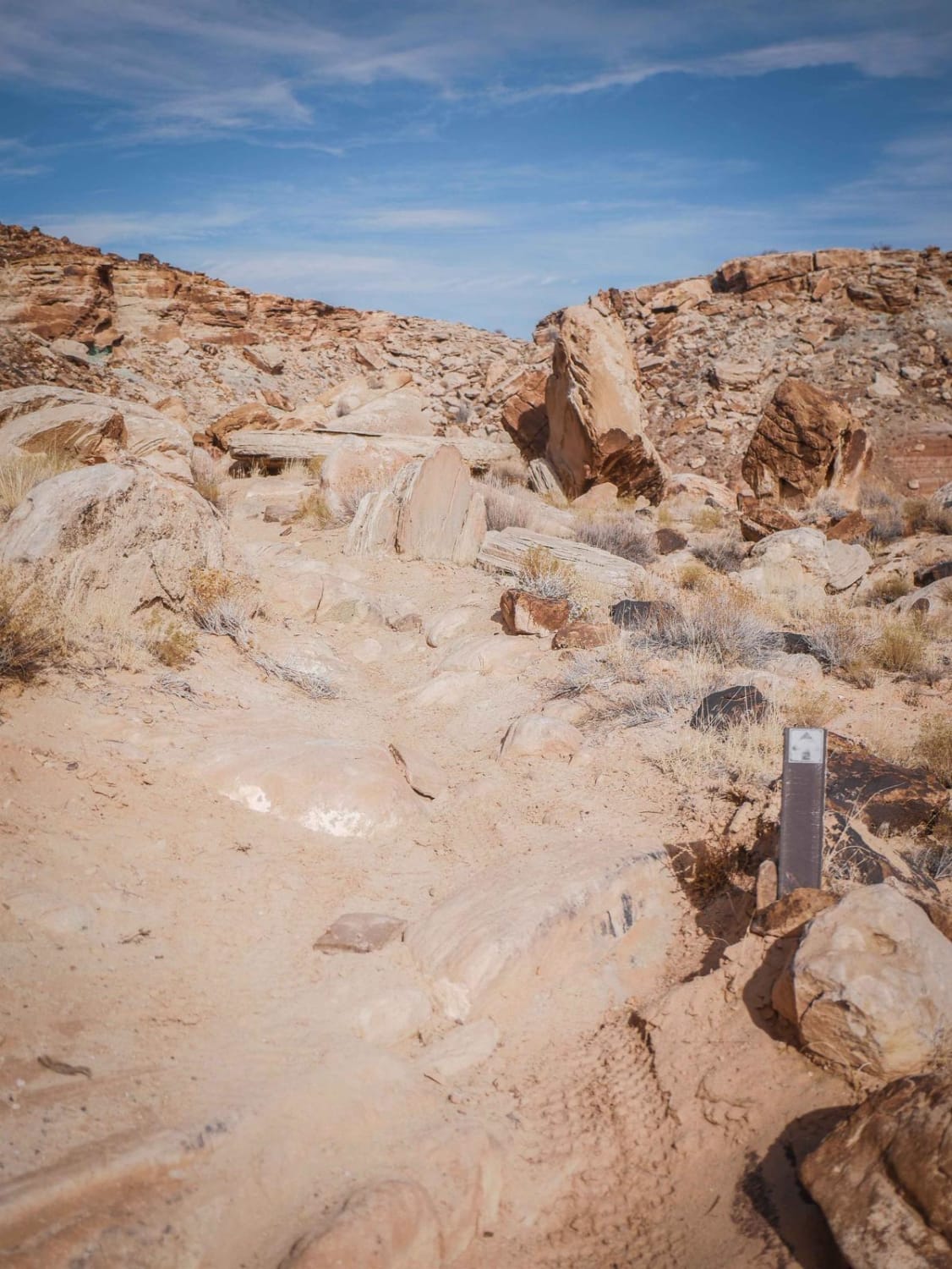
Brushy Basin
Total Miles
0.4
Tech Rating
Moderate
Best Time
Spring, Fall, Winter
Learn more about Buck Camp Hollow - FS 70439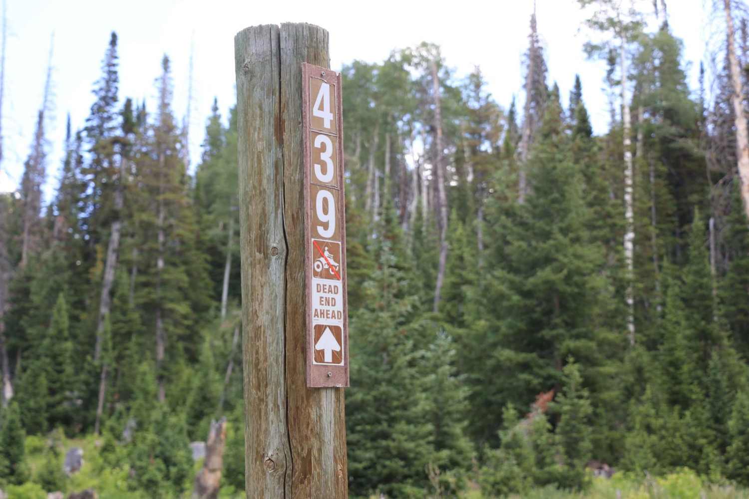
Buck Camp Hollow - FS 70439
Total Miles
2.7
Tech Rating
Moderate
Best Time
Spring, Summer
Learn more about Buck Ridge Cut-Across (FS 4058/Paiute D-3/1A)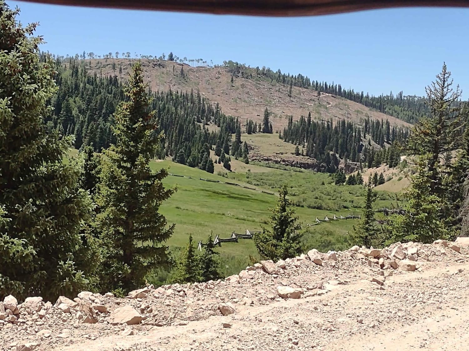
Buck Ridge Cut-Across (FS 4058/Paiute D-3/1A)
Total Miles
5.6
Tech Rating
Easy
Best Time
Spring, Summer, Fall
Learn more about Buckhorn Draw
Buckhorn Draw
Total Miles
8.4
Tech Rating
Moderate
Best Time
Spring, Summer, Fall
Learn more about Buckhorn Draw to Wedge Overlook
Buckhorn Draw to Wedge Overlook
Total Miles
38.8
Tech Rating
Easy
Best Time
Spring, Summer, Fall
Learn more about Buckhorn Wash Overlook
Buckhorn Wash Overlook
Total Miles
0.9
Tech Rating
Easy
Best Time
Spring, Summer, Fall, Winter
Learn more about Buckmaster Draw
Buckmaster Draw
Total Miles
4.2
Tech Rating
Easy
Best Time
Spring, Summer, Fall, Winter
Learn more about Buckmaster Road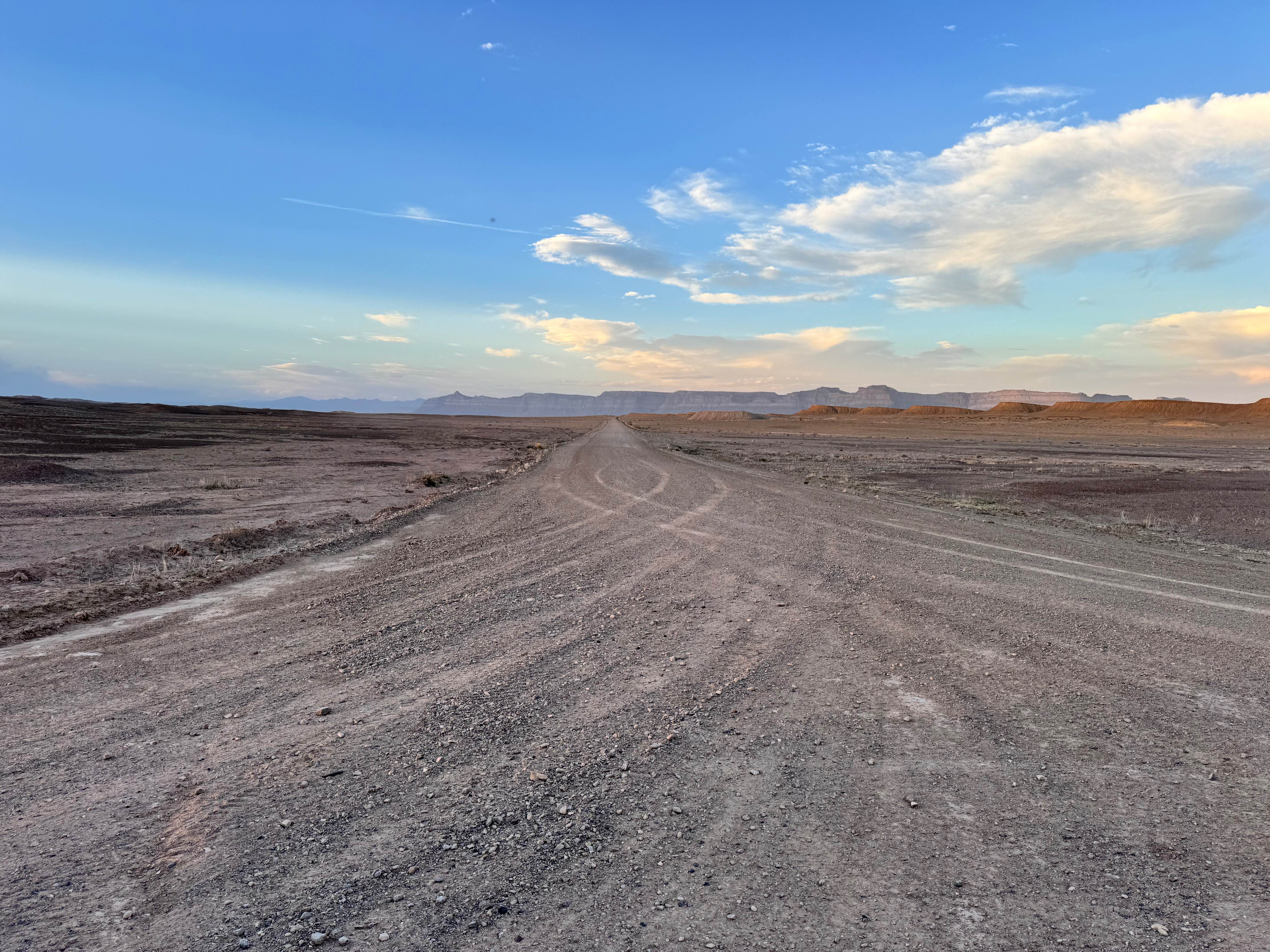
Buckmaster Road
Total Miles
4.7
Tech Rating
Easy
Best Time
Spring, Summer, Fall, Winter
Learn more about Buckskin Wash Road (508)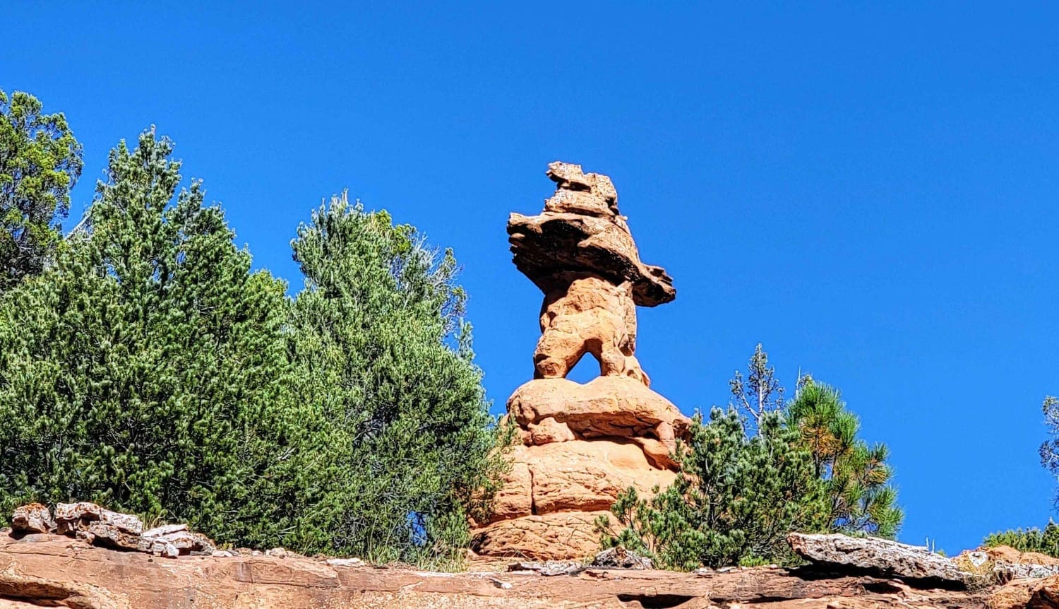
Buckskin Wash Road (508)
Total Miles
22.8
Tech Rating
Easy
Best Time
Summer, Fall, Spring
Learn more about Buffalo Canyon #026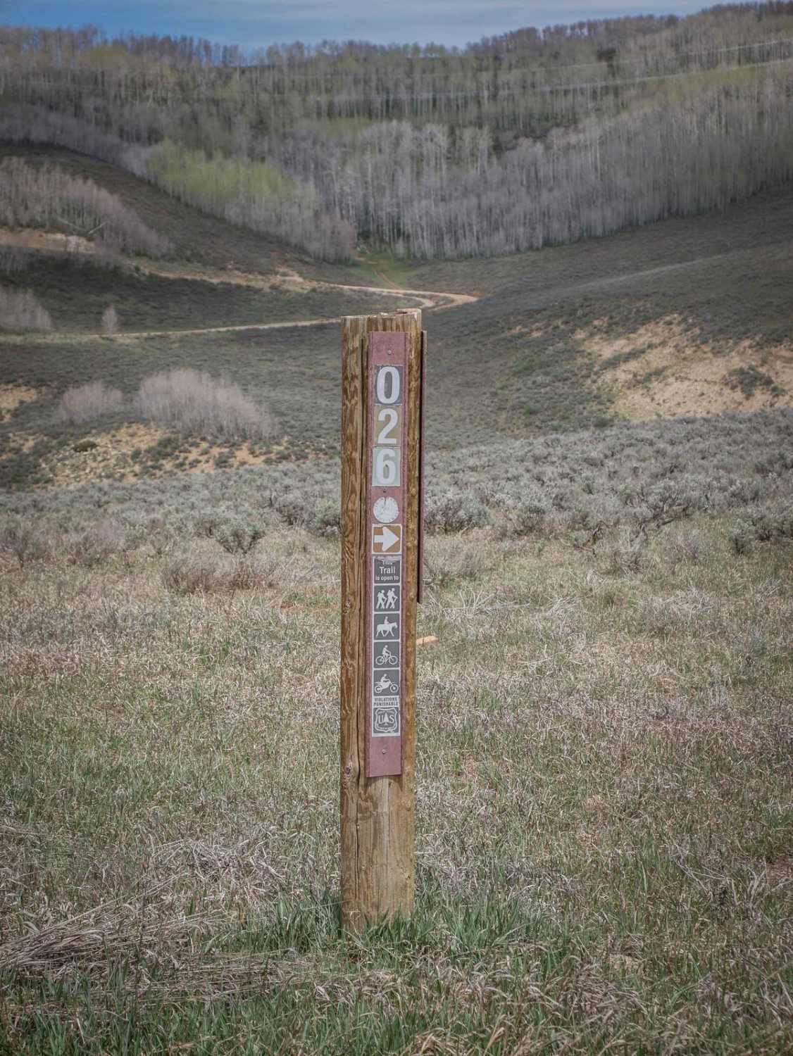
Buffalo Canyon #026
Total Miles
2.5
Tech Rating
Easy
Best Time
Spring, Summer, Fall
ATV trails in Utah

Learn more about 14 Mile Road
14 Mile Road
Total Miles
14.7
Tech Rating
Easy
Best Time
Spring, Summer, Fall, Winter


UTV/side-by-side trails in Utah
Learn more about 14 Mile Road
14 Mile Road
Total Miles
14.7
Tech Rating
Easy
Best Time
Spring, Summer, Fall, Winter
The onX Offroad Difference
onX Offroad combines trail photos, descriptions, difficulty ratings, width restrictions, seasonality, and more in a user-friendly interface. Available on all devices, with offline access and full compatibility with CarPlay and Android Auto. Discover what you’re missing today!