Off-Road Trails in Utah
Discover off-road trails in Utah
Learn more about Blue Hills Road 
Blue Hills Road
Total Miles
17.3
Tech Rating
Easy
Best Time
Spring, Winter, Fall
Learn more about Blue Notch Road
Blue Notch Road
Total Miles
14.0
Tech Rating
Easy
Best Time
Spring, Summer, Fall
Learn more about Blue Valley Road
Blue Valley Road
Total Miles
1.1
Tech Rating
Easy
Best Time
Spring, Summer, Fall, Winter
Learn more about Board Ranch Road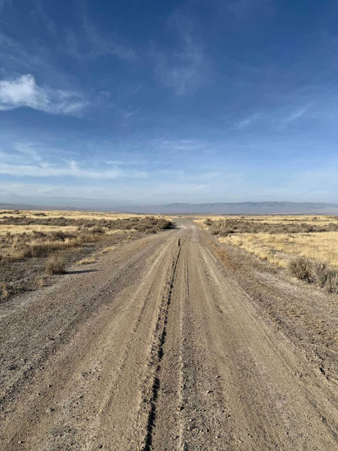
Board Ranch Road
Total Miles
5.6
Tech Rating
Easy
Best Time
Spring, Summer, Fall
Learn more about Bobby's Hole Road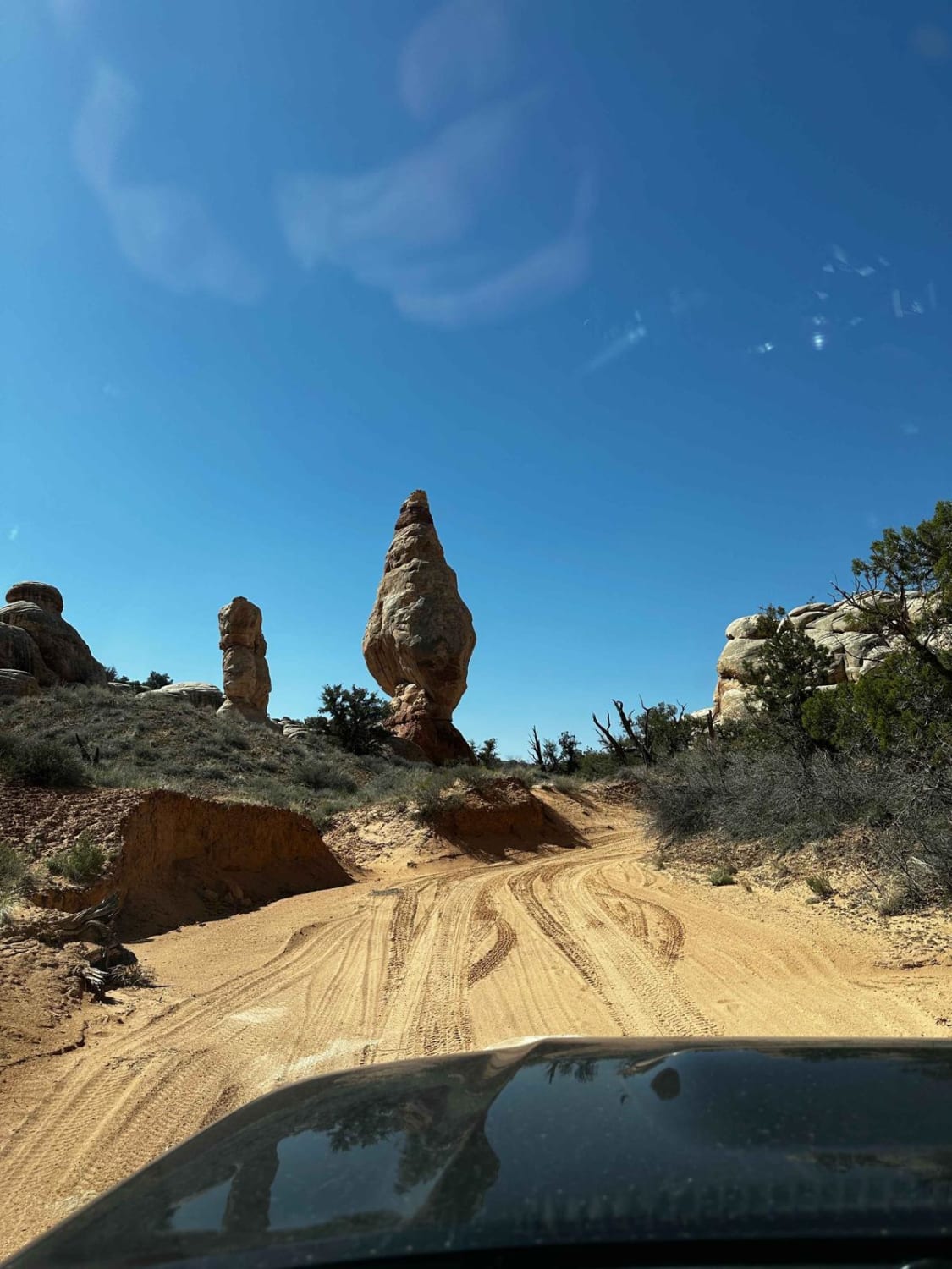
Bobby's Hole Road
Total Miles
7.8
Tech Rating
Moderate
Best Time
Spring, Summer, Fall
Learn more about Bobsled Loop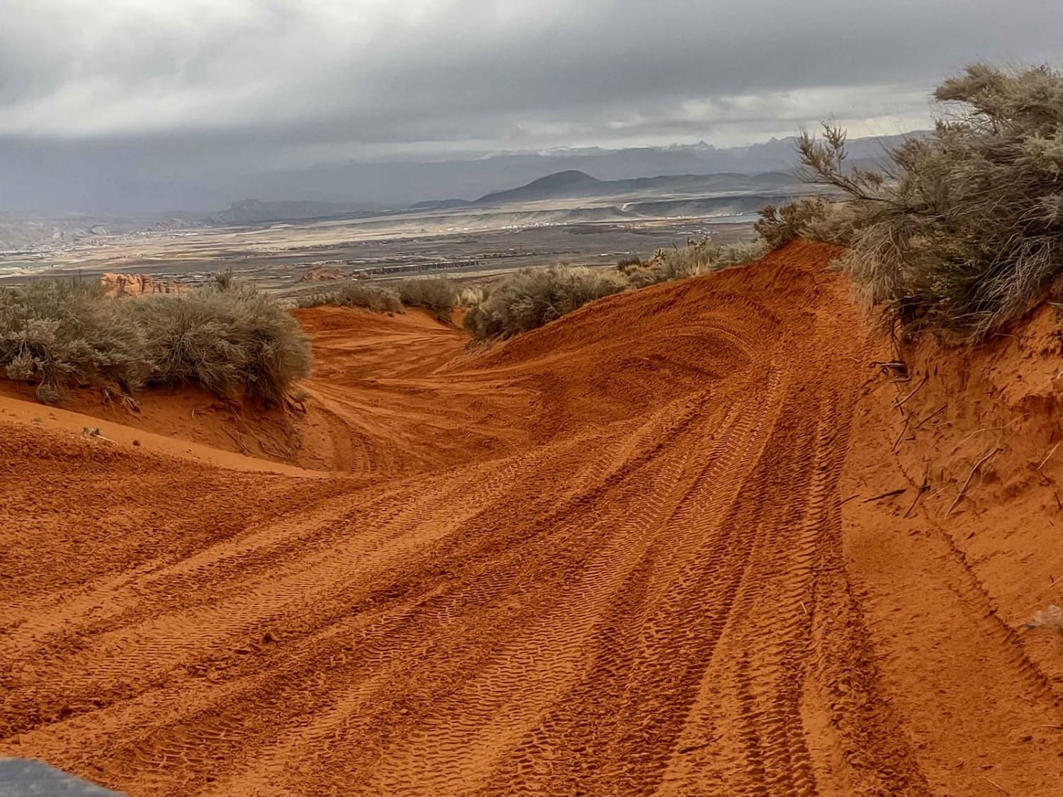
Bobsled Loop
Total Miles
1.5
Tech Rating
Easy
Best Time
Spring, Summer, Fall, Winter
Learn more about Bone Hollow - FR 70019
Bone Hollow - FR 70019
Total Miles
2.0
Tech Rating
Moderate
Best Time
Summer, Fall
Learn more about Book Cliffs, Sego Canyon
Book Cliffs, Sego Canyon
Total Miles
32.4
Tech Rating
Easy
Best Time
Spring, Fall
Learn more about Boulder Swale ATV Trail-NFS34022
Boulder Swale ATV Trail-NFS34022
Total Miles
4.7
Tech Rating
Moderate
Best Time
Summer, Fall, Spring
Learn more about Boulter Trail
Boulter Trail
Total Miles
7.8
Tech Rating
Easy
Best Time
Spring, Summer, Fall, Winter
Learn more about Box Car Loop
Box Car Loop
Total Miles
17.7
Tech Rating
Difficult
Best Time
Spring, Summer, Fall
Learn more about Box Creek Road (FS# 40069)
Box Creek Road (FS# 40069)
Total Miles
8.5
Tech Rating
Easy
Best Time
Spring, Summer, Fall
Learn more about Box Creek Spur (FS 42456, 41232, 41223)
Box Creek Spur (FS 42456, 41232, 41223)
Total Miles
1.9
Tech Rating
Easy
Best Time
Spring, Summer, Fall
Learn more about Box Elder Canyon South
Box Elder Canyon South
Total Miles
1.1
Tech Rating
Easy
Best Time
Spring, Summer, Fall
Learn more about Brian Head Peak Observatory
Brian Head Peak Observatory
Total Miles
2.8
Tech Rating
Easy
Best Time
Spring, Summer, Fall
Learn more about Brian's Access Trail
Brian's Access Trail
Total Miles
1.8
Tech Rating
Easy
Best Time
Spring, Winter, Fall
Learn more about Brian's Trail 
Brian's Trail
Total Miles
2.1
Tech Rating
Difficult
Best Time
Spring, Winter, Fall
Learn more about Bridge Canyon Road
Bridge Canyon Road
Total Miles
0.7
Tech Rating
Easy
Best Time
Spring, Summer, Fall
Learn more about Bridger Jack Mesa
Bridger Jack Mesa
Total Miles
16.3
Tech Rating
Easy
Best Time
Spring, Summer, Fall
ATV trails in Utah

Learn more about 14 Mile Road
14 Mile Road
Total Miles
14.7
Tech Rating
Easy
Best Time
Spring, Summer, Fall, Winter


UTV/side-by-side trails in Utah
Learn more about 14 Mile Road
14 Mile Road
Total Miles
14.7
Tech Rating
Easy
Best Time
Spring, Summer, Fall, Winter
The onX Offroad Difference
onX Offroad combines trail photos, descriptions, difficulty ratings, width restrictions, seasonality, and more in a user-friendly interface. Available on all devices, with offline access and full compatibility with CarPlay and Android Auto. Discover what you’re missing today!