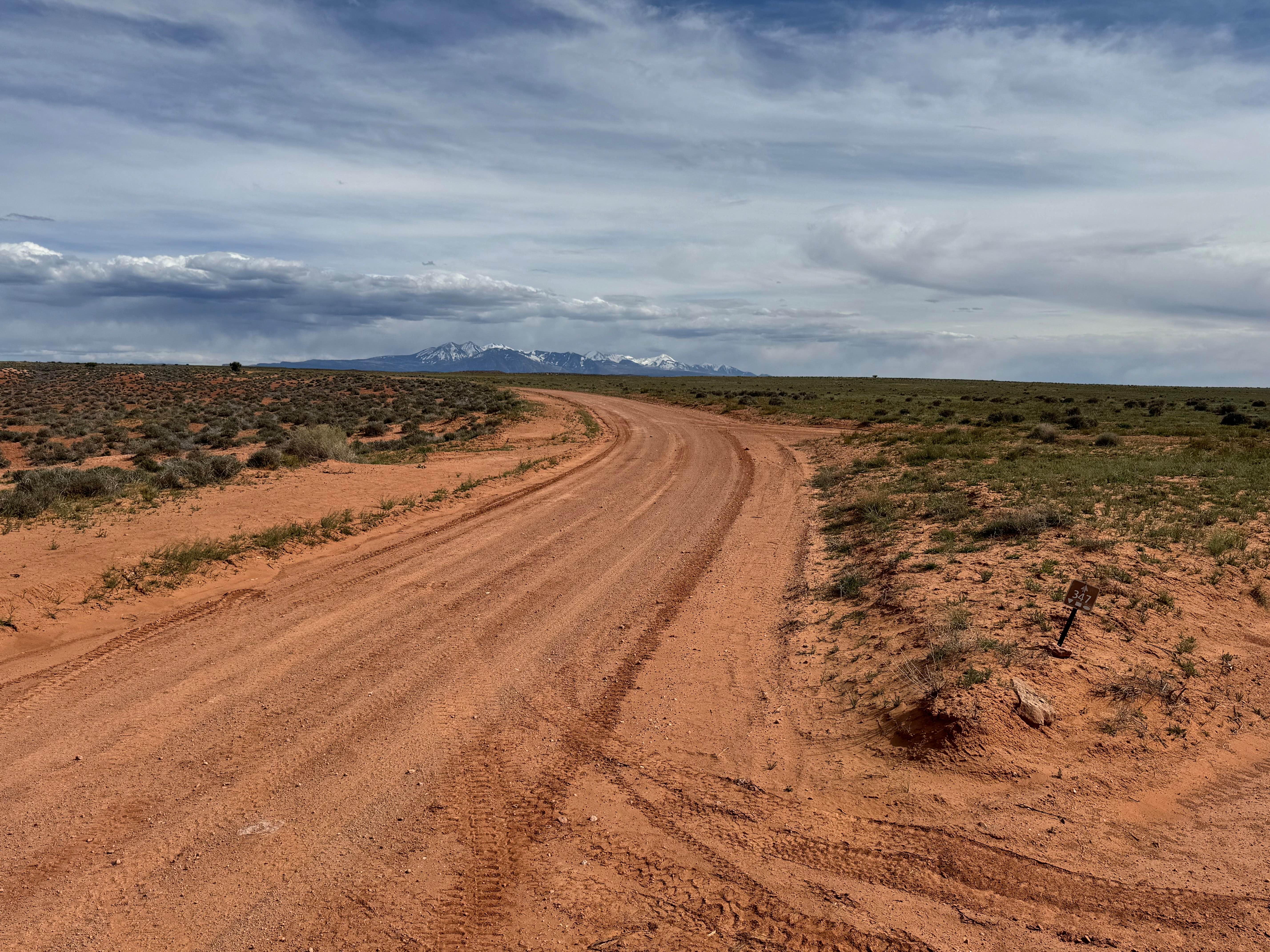
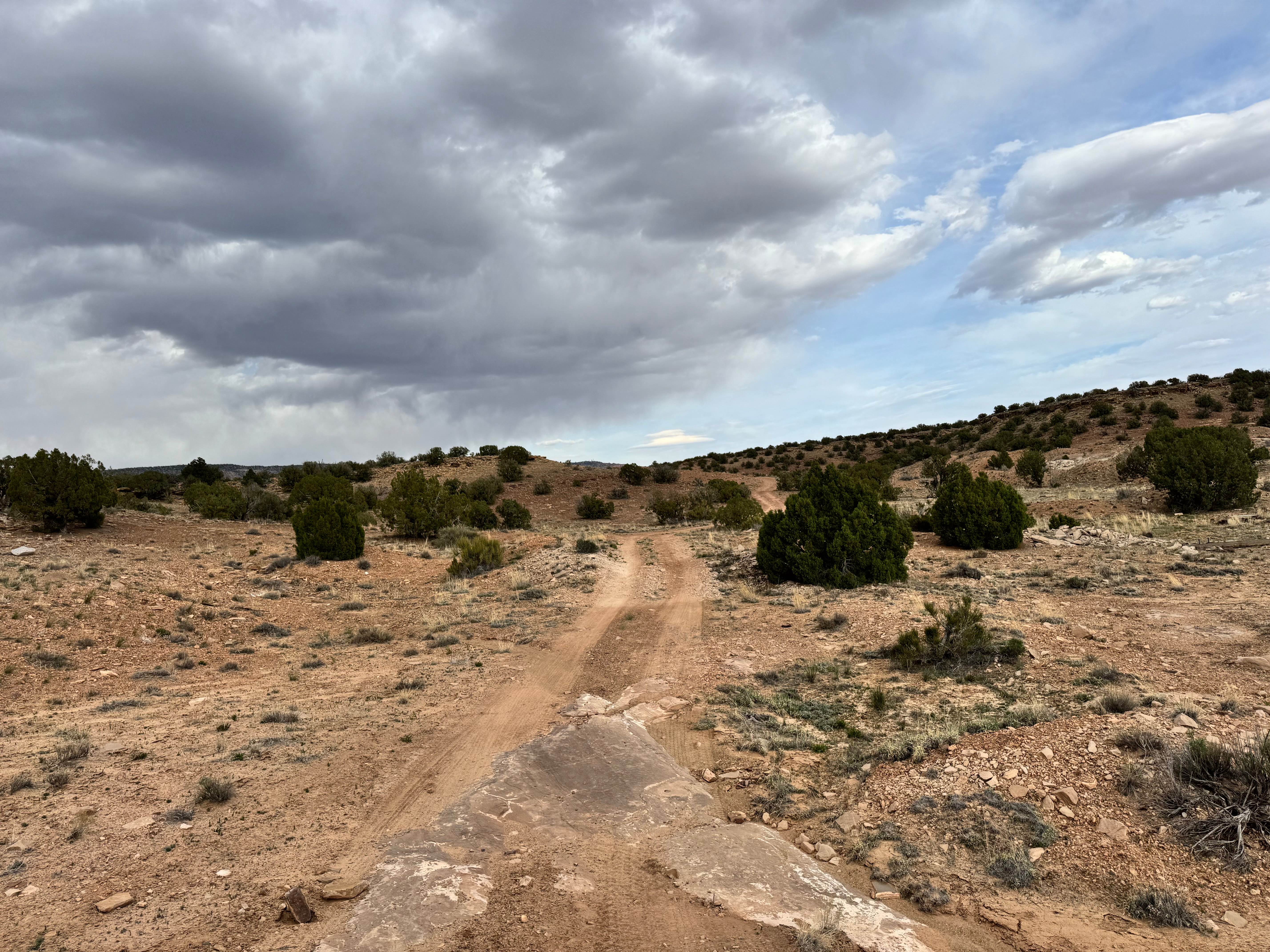
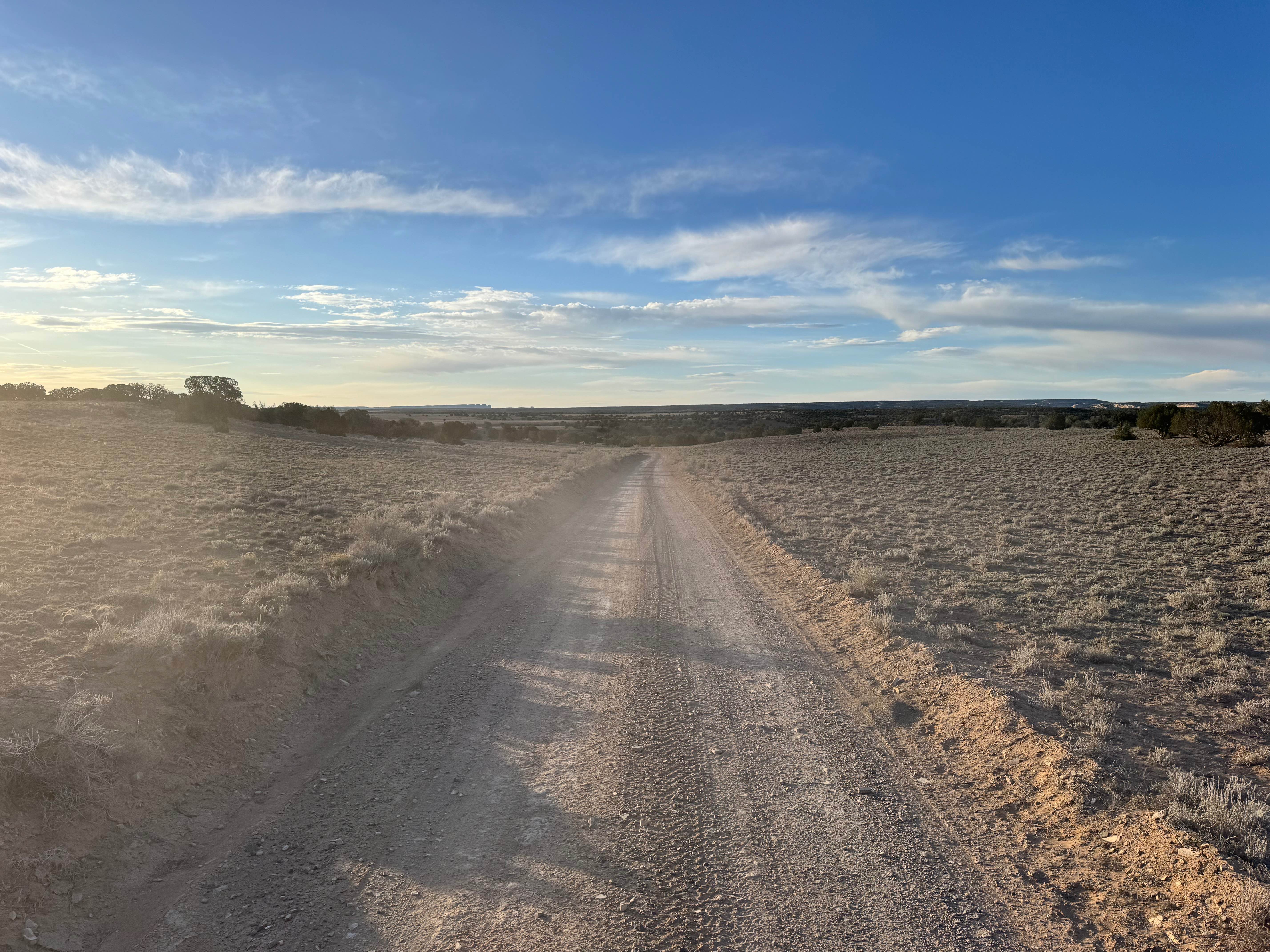
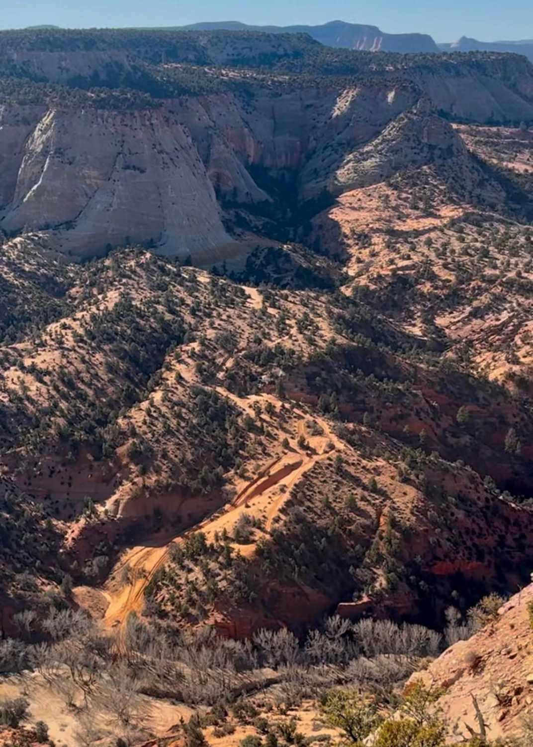
Off-Road Trails in Utah
Discover off-road trails in Utah
Learn more about Black Mountain Petroglyph Site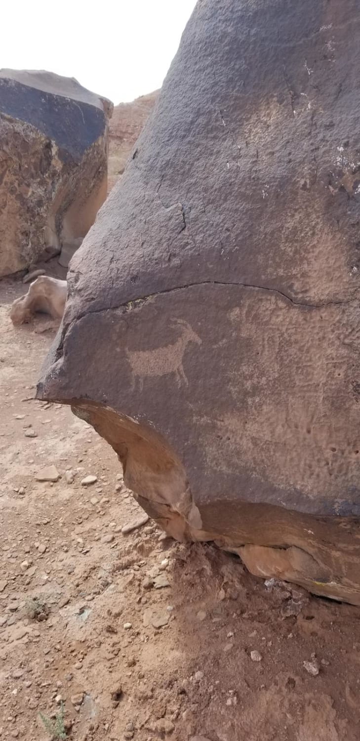
Black Mountain Petroglyph Site
Total Miles
6.9
Tech Rating
Easy
Best Time
Spring, Summer, Fall
Learn more about Black Mountain Road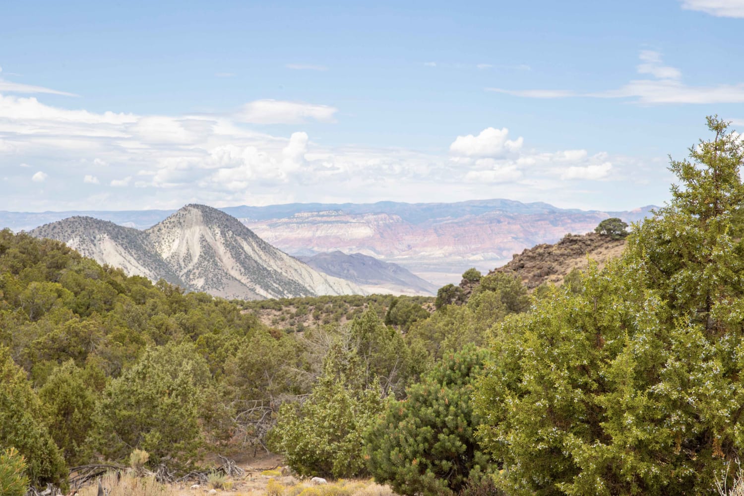
Black Mountain Road
Total Miles
4.0
Tech Rating
Easy
Best Time
Spring, Summer, Fall
Learn more about Black Mountain Road to Tower Site
Black Mountain Road to Tower Site
Total Miles
8.2
Tech Rating
Easy
Best Time
Spring, Summer, Fall, Winter
Learn more about Black Rock Canyon West to Peak 
Black Rock Canyon West to Peak
Total Miles
5.6
Tech Rating
Moderate
Best Time
Spring, Summer, Fall, Winter
Learn more about Blackburn Wash Road
Blackburn Wash Road
Total Miles
29.7
Tech Rating
Easy
Best Time
Spring, Summer, Fall, Winter
Learn more about Blacksmith Fork Scenic Drive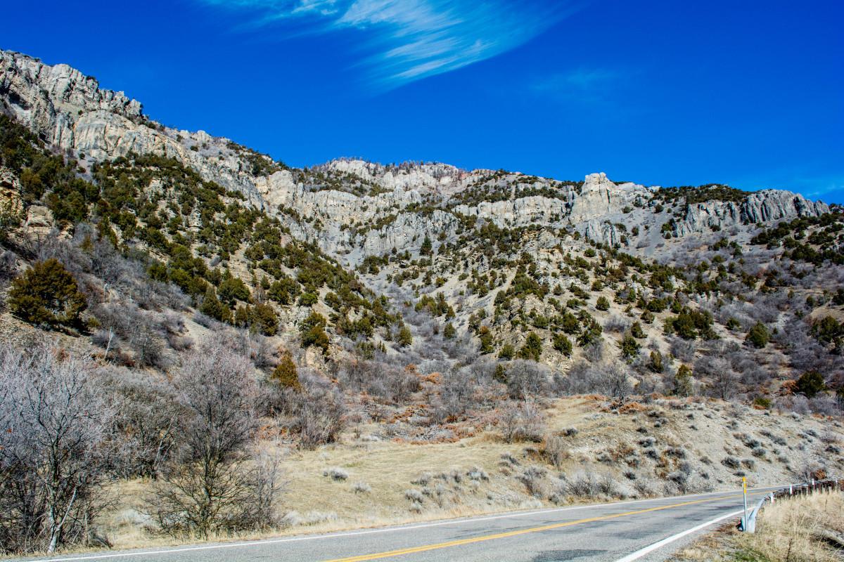
Blacksmith Fork Scenic Drive
Total Miles
15.8
Tech Rating
Easy
Best Time
Spring, Summer, Fall, Winter
Learn more about Blind Lake Trail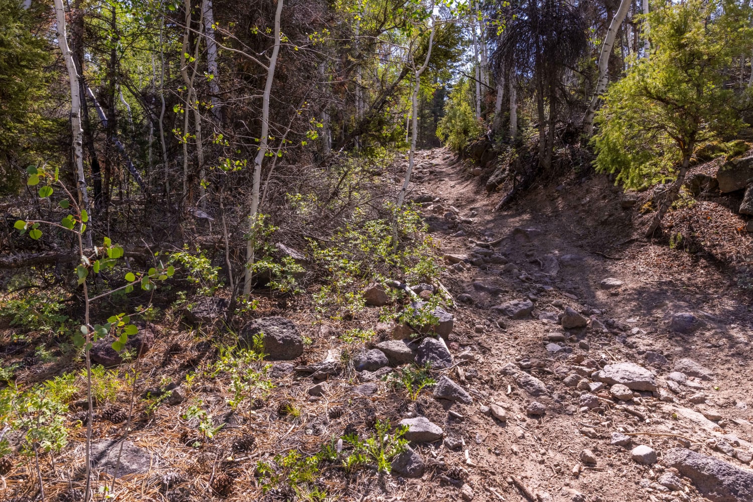
Blind Lake Trail
Total Miles
2.8
Tech Rating
Moderate
Best Time
Fall, Summer, Spring
Learn more about BLM 1010 to Blackburn Wash
BLM 1010 to Blackburn Wash
Total Miles
5.0
Tech Rating
Easy
Best Time
Spring, Summer, Fall, Winter
Learn more about BLM 102H (Offshoot of White Tower Trail)
BLM 102H (Offshoot of White Tower Trail)
Total Miles
2.1
Tech Rating
Easy
Best Time
Spring, Summer, Fall, Winter
Learn more about BLM 30228
BLM 30228
Total Miles
2.8
Tech Rating
Easy
Best Time
Summer, Spring, Fall, Winter

Learn more about BLM 558/Inchworm
BLM 558/Inchworm
Total Miles
2.7
Tech Rating
Easy
Best Time
Spring, Summer, Fall, Winter
Learn more about BLM 626 Cutoff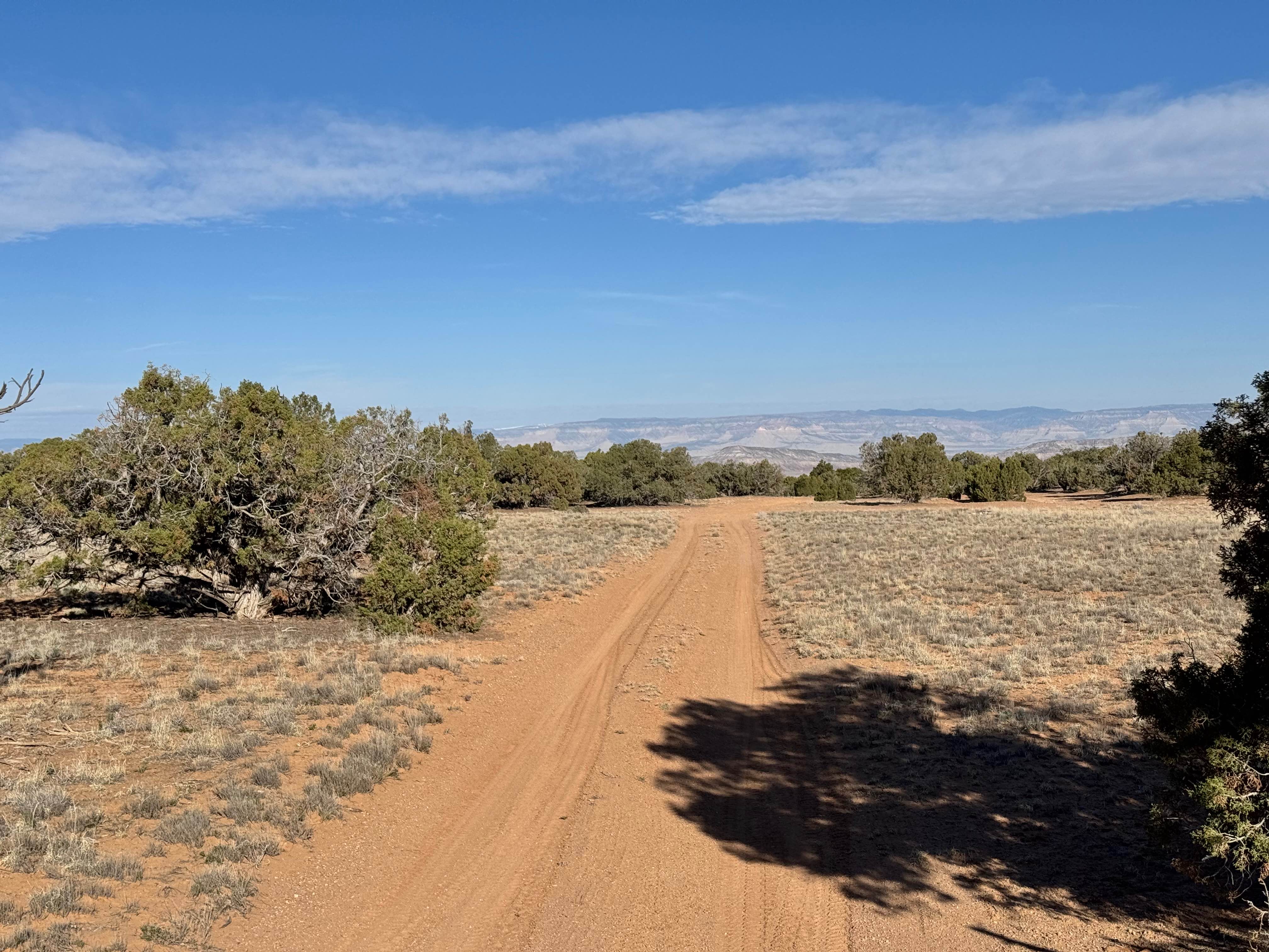
BLM 626 Cutoff
Total Miles
1.2
Tech Rating
Easy
Best Time
Spring, Summer, Fall, Winter
Learn more about BLM B0057 - Lime Butte Ruins
BLM B0057 - Lime Butte Ruins
Total Miles
1.3
Tech Rating
Easy
Best Time
Spring, Summer, Fall, Winter
Learn more about BLM D0148 - Beef Basin Spring Road
BLM D0148 - Beef Basin Spring Road
Total Miles
1.9
Tech Rating
Easy
Best Time
Spring, Summer, Fall
ATV trails in Utah

Learn more about 14 Mile Road
14 Mile Road
Total Miles
14.7
Tech Rating
Easy
Best Time
Spring, Summer, Fall, Winter


UTV/side-by-side trails in Utah
Learn more about 14 Mile Road
14 Mile Road
Total Miles
14.7
Tech Rating
Easy
Best Time
Spring, Summer, Fall, Winter
The onX Offroad Difference
onX Offroad combines trail photos, descriptions, difficulty ratings, width restrictions, seasonality, and more in a user-friendly interface. Available on all devices, with offline access and full compatibility with CarPlay and Android Auto. Discover what you’re missing today!