Off-Road Trails in Utah
Discover off-road trails in Utah
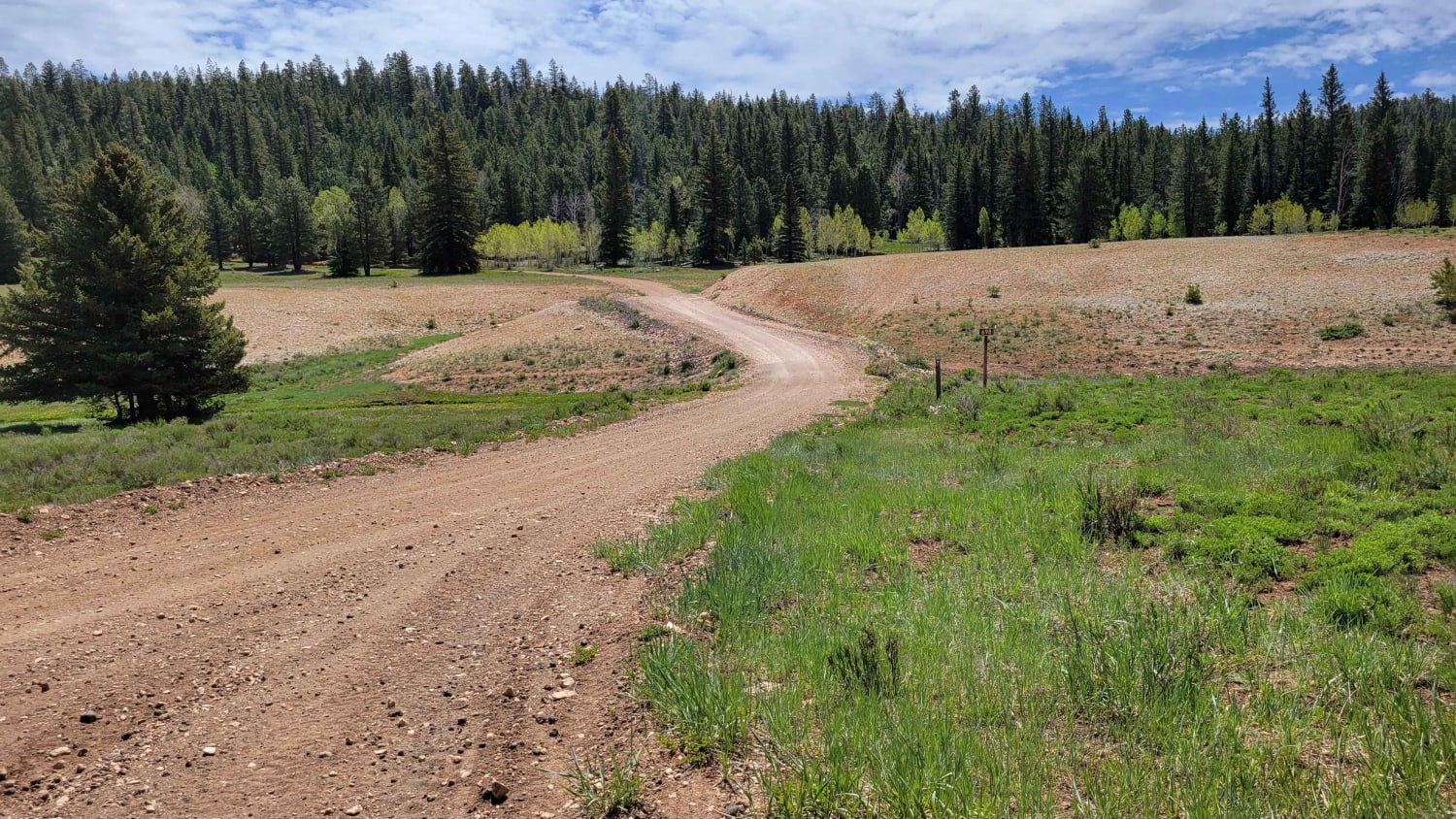
Learn more about Big Springs - FS 70109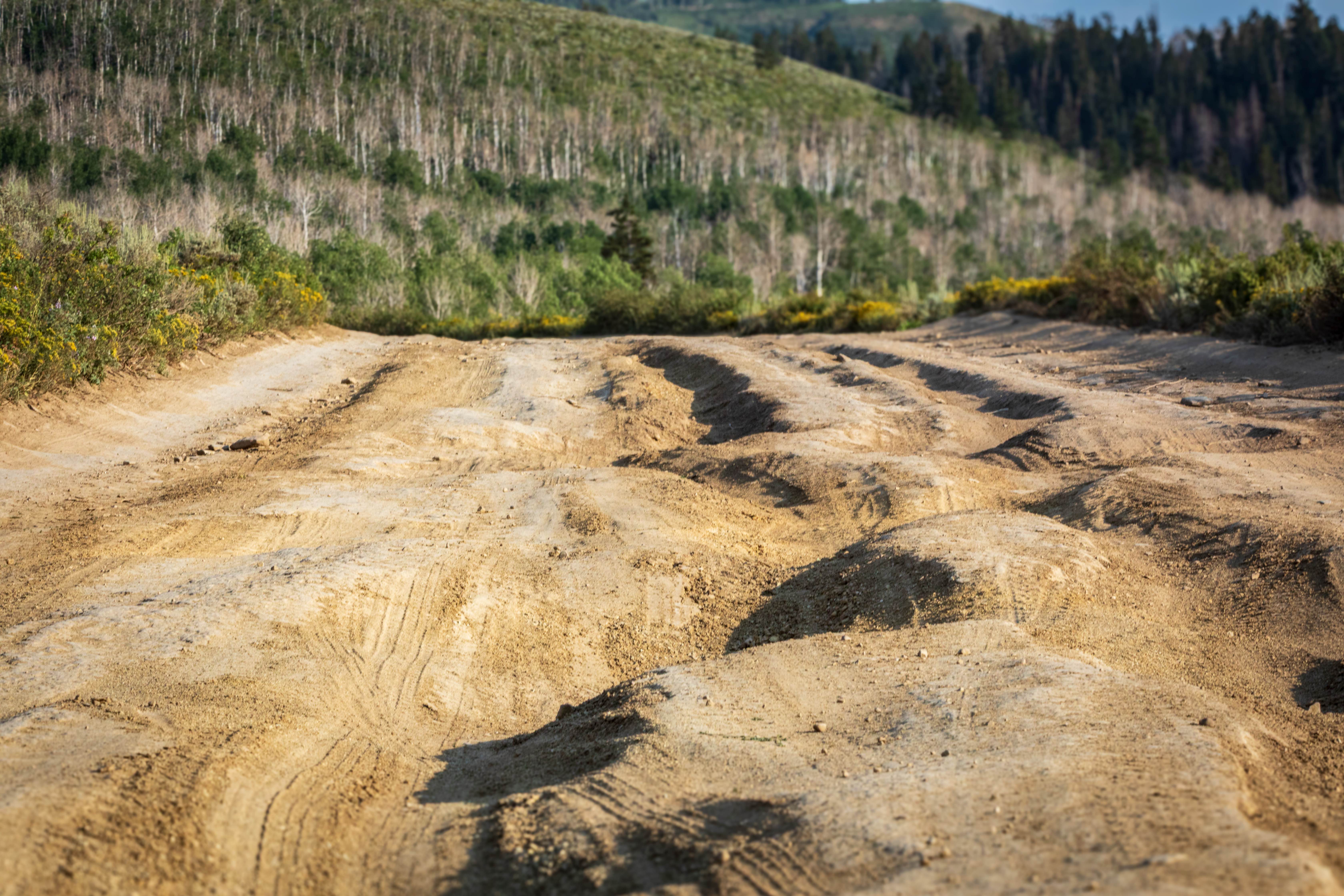
Big Springs - FS 70109
Total Miles
4.1
Tech Rating
Moderate
Best Time
Summer, Fall
Learn more about Big Steps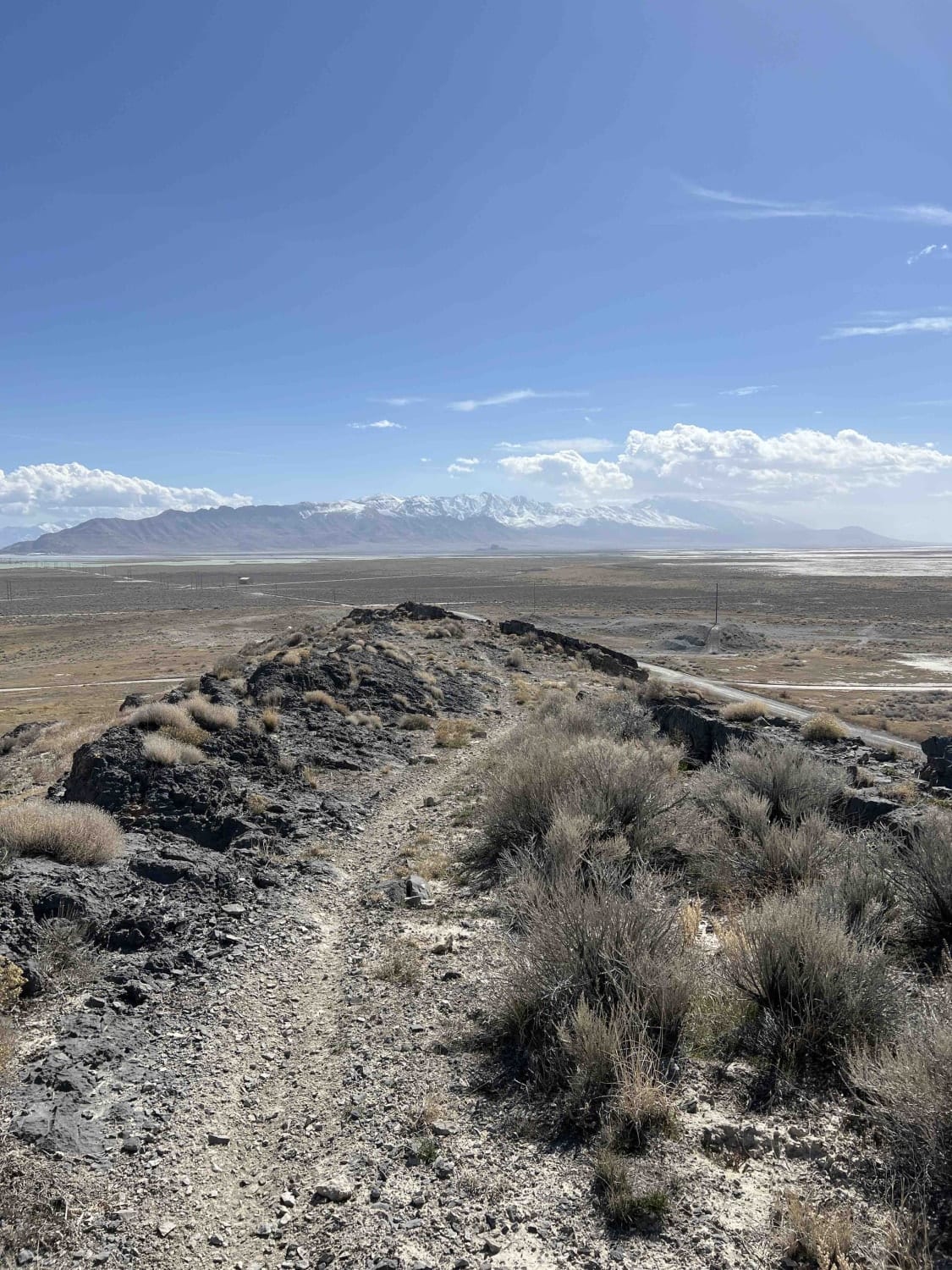
Big Steps
Total Miles
2.1
Tech Rating
Difficult
Best Time
Spring, Summer, Fall, Winter
Learn more about Big Table (FS 40154)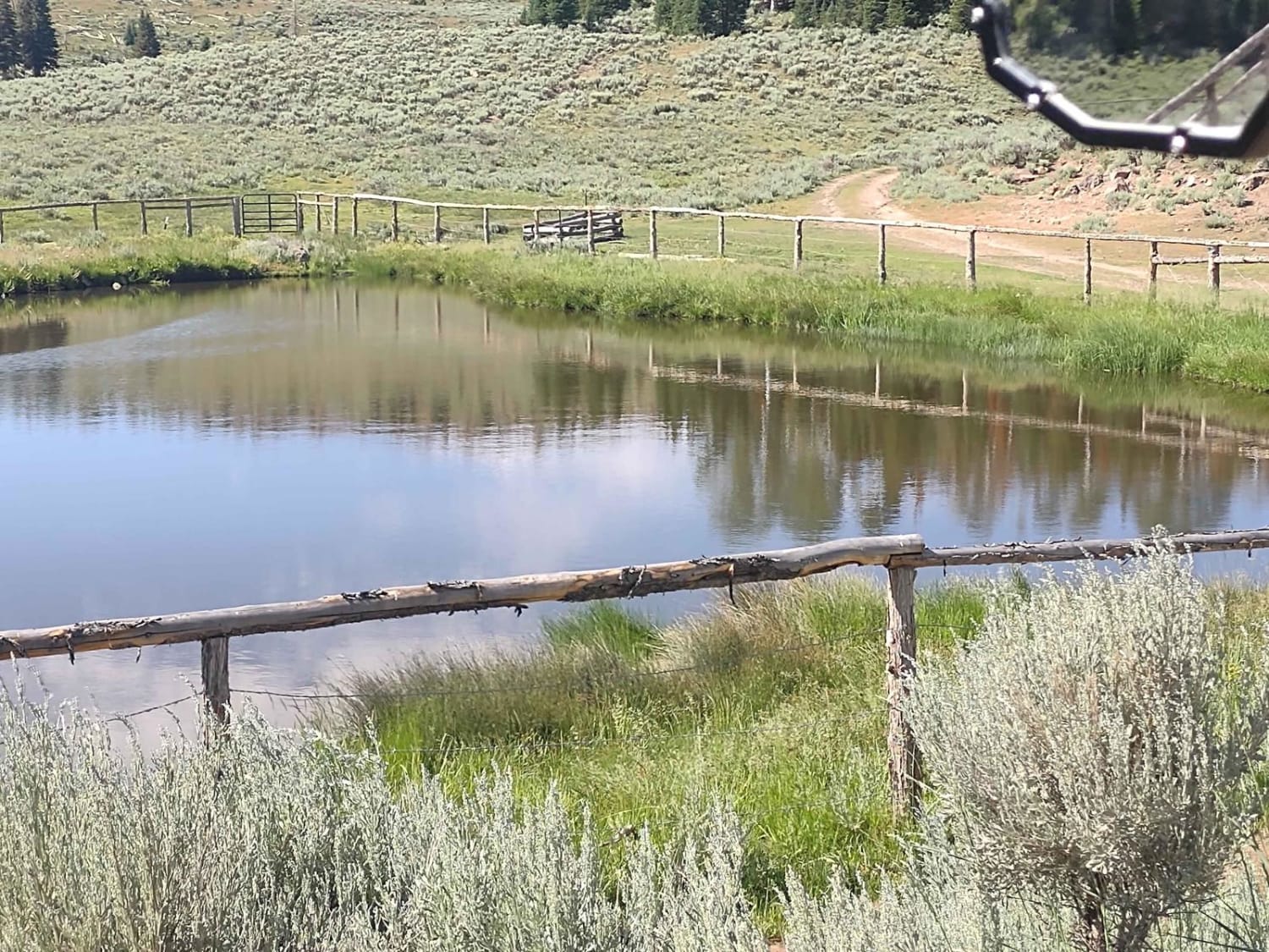
Big Table (FS 40154)
Total Miles
0.6
Tech Rating
Easy
Best Time
Spring, Summer, Fall
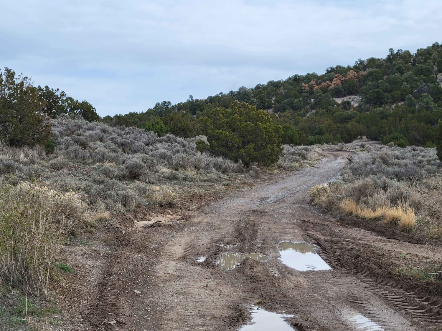
Learn more about Big Thompson Mesa Road-BLM12200
Big Thompson Mesa Road-BLM12200
Total Miles
9.3
Tech Rating
Easy
Best Time
Spring, Summer, Fall, Winter
Learn more about Billingsly Creek Draw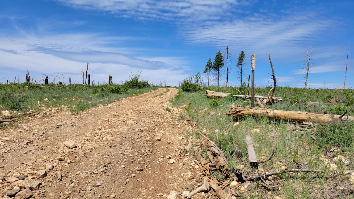
Billingsly Creek Draw
Total Miles
2.6
Tech Rating
Easy
Best Time
Summer, Fall
Learn more about Billy Goat Byway to Jackson Peak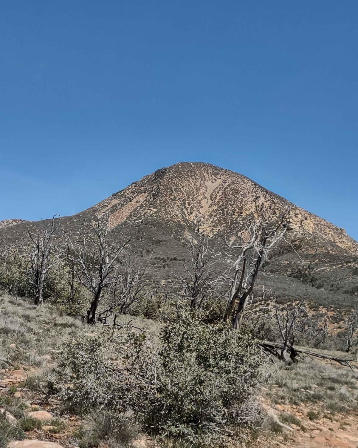
Billy Goat Byway to Jackson Peak
Total Miles
3.3
Tech Rating
Easy
Best Time
Spring, Summer, Fall
Learn more about Birch Creek Reservoirs
Birch Creek Reservoirs
Total Miles
1.2
Tech Rating
Easy
Best Time
Spring, Summer, Fall, Winter
Learn more about Birch Creek Trail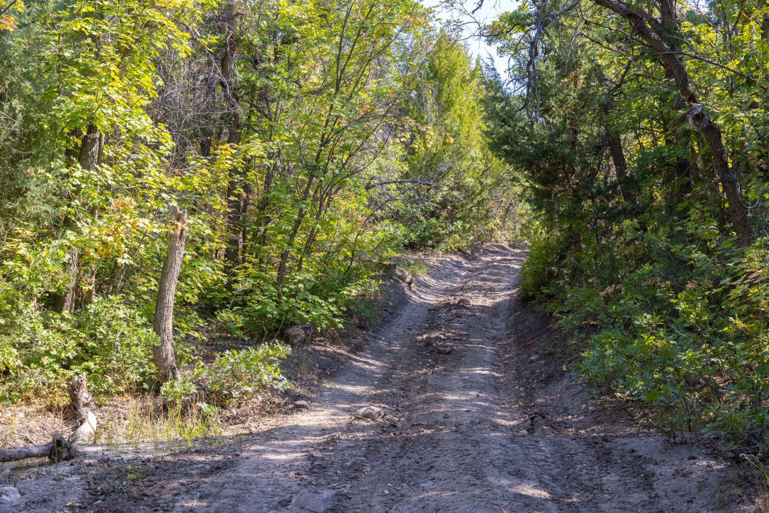
Birch Creek Trail
Total Miles
2.5
Tech Rating
Moderate
Best Time
Fall, Summer, Spring
Learn more about Birch Spring Pass Creek - BLM32000.3
Birch Spring Pass Creek - BLM32000.3
Total Miles
18.9
Tech Rating
Easy
Best Time
Spring, Summer, Fall
Learn more about Bjorkman Hollow - FR 70092
Bjorkman Hollow - FR 70092
Total Miles
7.5
Tech Rating
Easy
Best Time
Summer, Fall
Learn more about Black Dragon Canyon Pictographs
Black Dragon Canyon Pictographs
Total Miles
2.9
Tech Rating
Moderate
Best Time
Spring, Summer, Fall, Winter
Learn more about Black Dragon Wash
Black Dragon Wash
Total Miles
14.6
Tech Rating
Moderate
Best Time
Spring, Fall
Learn more about Black Jump Road - BLM12020
Black Jump Road - BLM12020
Total Miles
4.2
Tech Rating
Easy
Best Time
Spring, Summer, Fall, Winter
Learn more about Black Mesa-Red Knoll Loop
Black Mesa-Red Knoll Loop
Total Miles
25.1
Tech Rating
Easy
Best Time
Spring, Summer, Fall
Learn more about Black Mountain Alternate 
Black Mountain Alternate
Total Miles
5.6
Tech Rating
Moderate
Best Time
Spring, Summer, Fall, Winter
Learn more about Black Mountain Petroglyph Site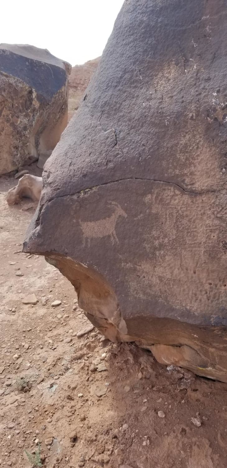
Black Mountain Petroglyph Site
Total Miles
6.9
Tech Rating
Easy
Best Time
Spring, Summer, Fall
Learn more about Black Mountain Road
Black Mountain Road
Total Miles
4.0
Tech Rating
Easy
Best Time
Spring, Summer, Fall
ATV trails in Utah

Learn more about 14 Mile Road
14 Mile Road
Total Miles
14.7
Tech Rating
Easy
Best Time
Spring, Summer, Fall, Winter


UTV/side-by-side trails in Utah
Learn more about 14 Mile Road
14 Mile Road
Total Miles
14.7
Tech Rating
Easy
Best Time
Spring, Summer, Fall, Winter
The onX Offroad Difference
onX Offroad combines trail photos, descriptions, difficulty ratings, width restrictions, seasonality, and more in a user-friendly interface. Available on all devices, with offline access and full compatibility with CarPlay and Android Auto. Discover what you’re missing today!