Birch Creek Reservoirs
Total Miles
1.2
Technical Rating
Best Time
Spring, Summer, Fall, Winter
Trail Type
Full-Width Road
Accessible By
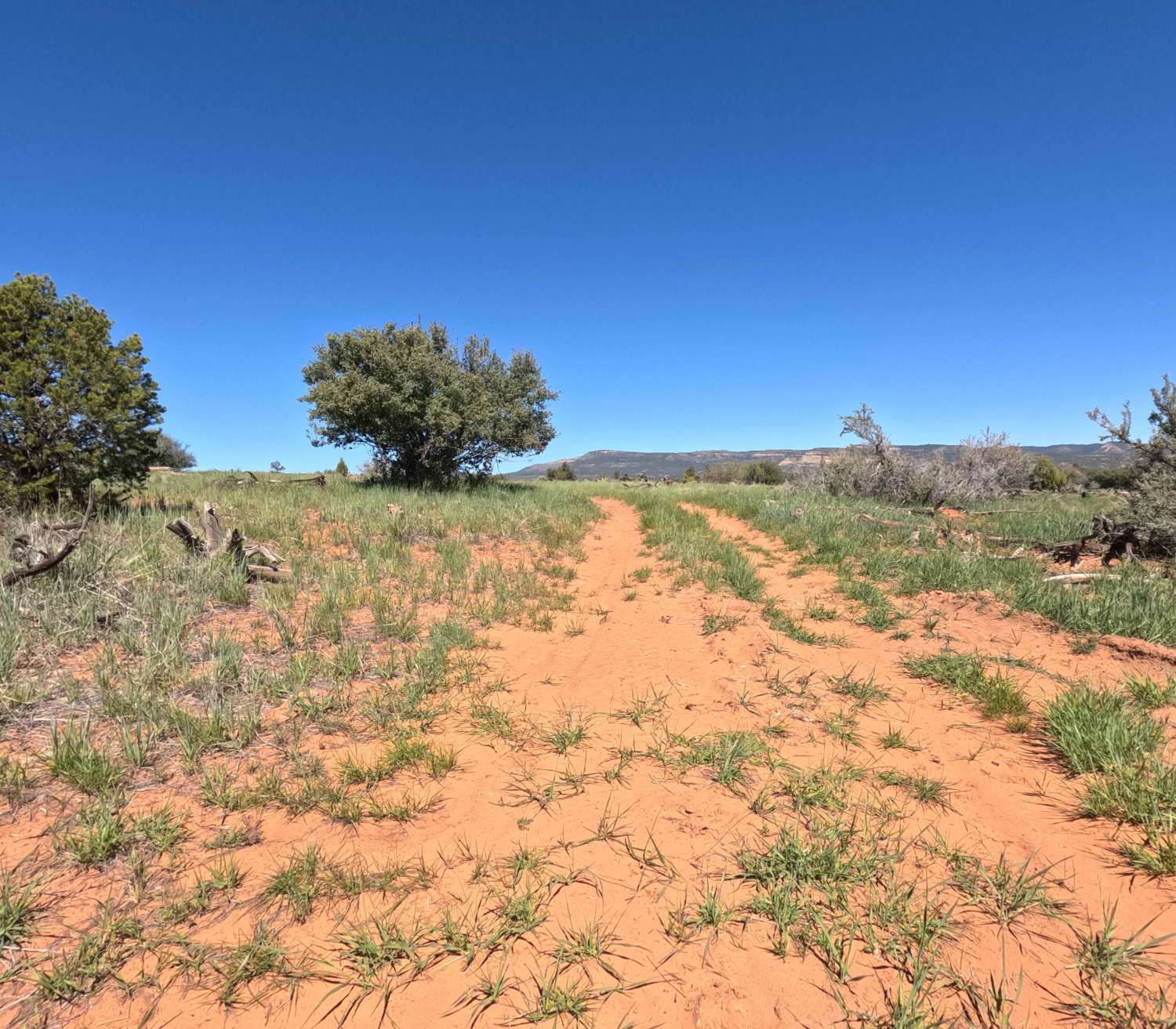
Trail Overview
This trail is a short well well-maintained road that travels off of Highway 39 for about a mile, where it ends in a parking lot at the base of Birch Creek Reservoir Dam. The gravel road is 2 vehicles wide and well-maintained, so most vehicles will be able to travel this road without any issues. As you travel the road, there are plenty of spots where you can pull off to park and camp or just visit the creek, which may or may not be dry depending on the time of year you visit. At the end of the trail, there is a large parking area with bathrooms where you can park and hike up the dam to the reservoir, which is open to recreation. Just before you reach the parking area, there is a smaller reservoir to your left that is also called Birch Creek Reservoir, which is significantly smaller and tends to dry up quicker than the upper one. This road is open year-round but may be impassable due to snow during the winter.
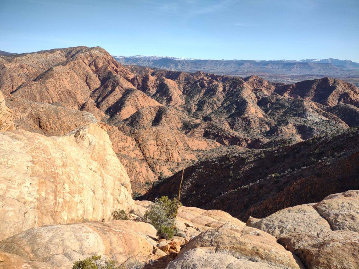
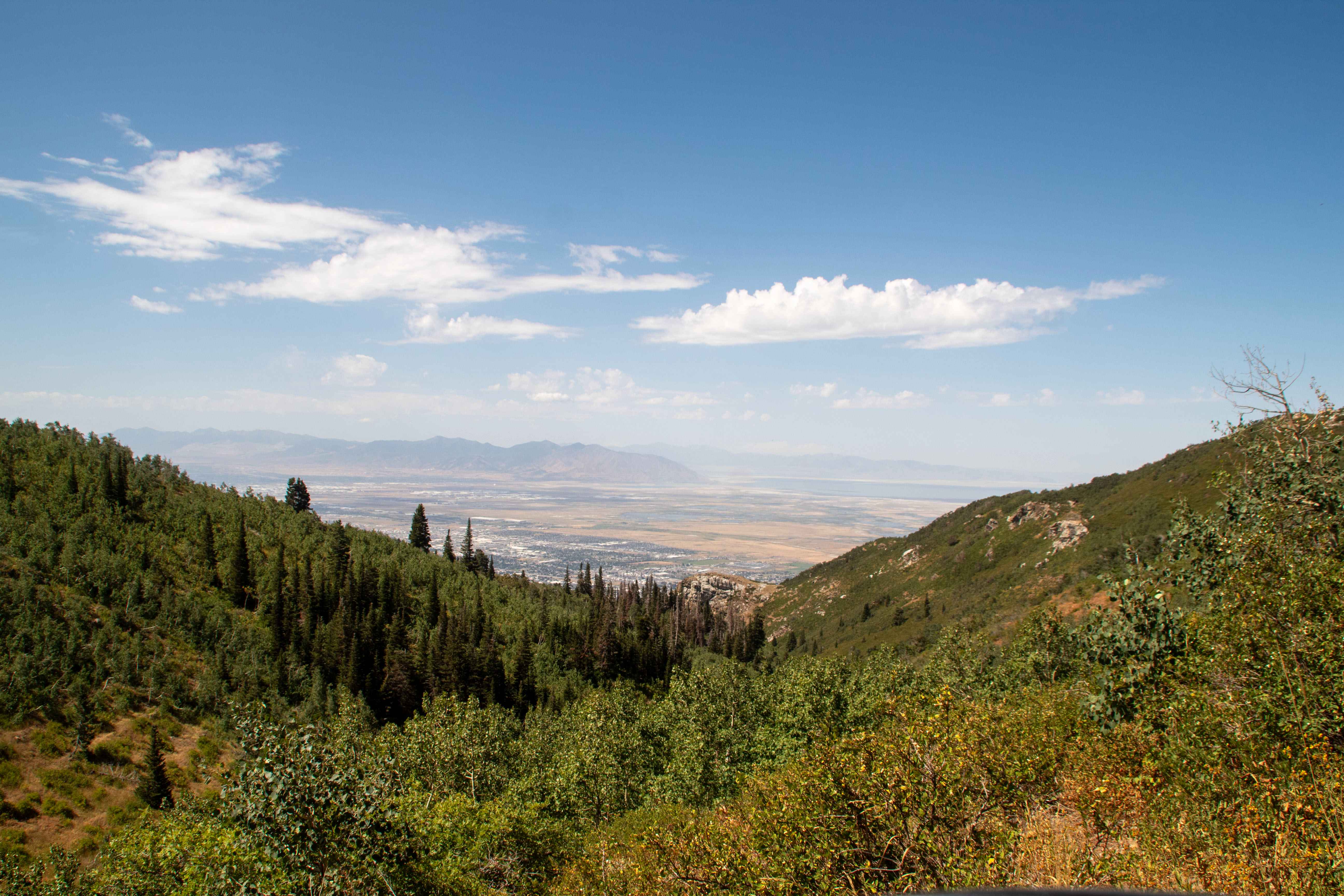
Photos of Birch Creek Reservoirs


Difficulty
Super easy gravel road but be sure to watch for opposing traffic and difficulty may be higher during the winter due to snow.
Status Reports
Birch Creek Reservoirs can be accessed by the following ride types:
- High-Clearance 4x4
- SUV
- SxS (60")
- ATV (50")
- Dirt Bike
Birch Creek Reservoirs Map
Popular Trails
Leeds-Cottonwood Spur
Lower Parish Creek
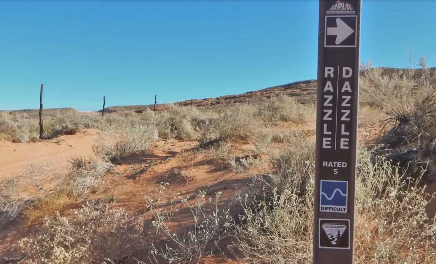
Razzle Dazzle
The onX Offroad Difference
onX Offroad combines trail photos, descriptions, difficulty ratings, width restrictions, seasonality, and more in a user-friendly interface. Available on all devices, with offline access and full compatibility with CarPlay and Android Auto. Discover what you’re missing today!