Black Jump Road - BLM12020
Total Miles
4.2
Technical Rating
Best Time
Spring, Summer, Fall, Winter
Trail Type
Full-Width Road
Accessible By
Trail Overview
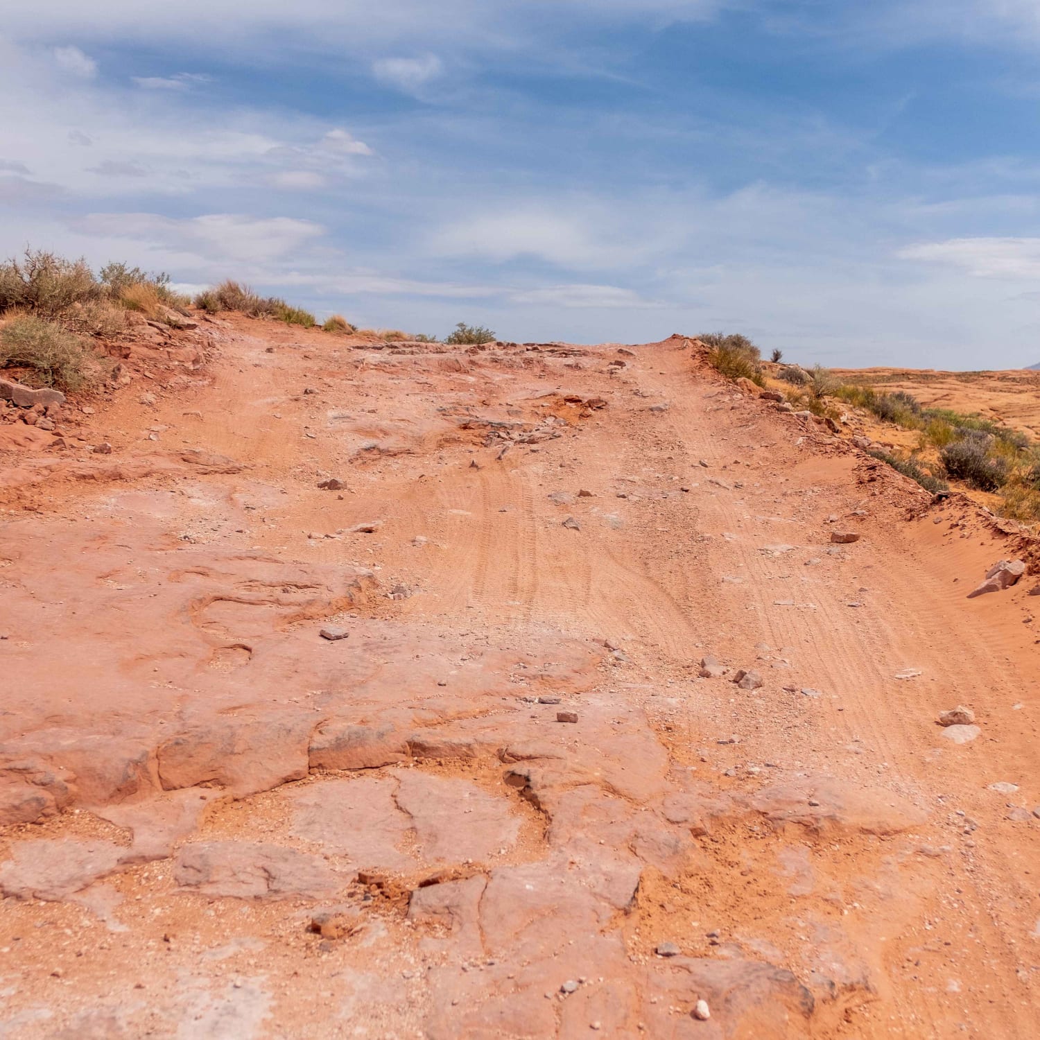
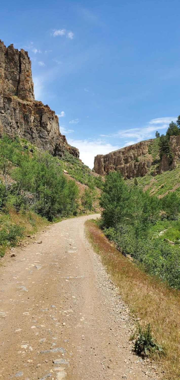
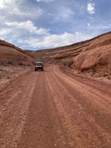
Black Jump Road is an 8.2-mile out-and-back trail rated 3 of 10 located in Garfield County. The Black Jump Trail is a beautiful 4-WD trail that spurs from Poison Springs Road and terminates at the hiking trail leading to Happy Canyon. The trail has permanently been closed 2 miles from the hiking trailhead requiring those heading up to walk the remaining section of the road. The trail follows along the base of the Wingate cliffs, and above the Black Jump layer. Originally developed as a mining road to an old uranium mine. The road follows a cliff up to the Bert Mesa. The trail consists mostly of hard-packed dirt with small sections of rock. Generally, the trail is wide enough for a full-size 4WD pickup, but there are several narrow sections that would require good spotting. Happy Canyon is an impressive slot canyon on the east side of the Dirty Devil River. From the current trail end, it is roughly a 12-mile round trip to the canyon. The area is remote and the likelihood of meeting up with other travelers is unlikely. The nearest services are located in Hanksville and there is no cellular coverage in the area. If you are interested in a unique area to disperse camp and hike this one is a must.
Photos of Black Jump Road - BLM12020


Difficulty
Trail consisting of loose rocks, dirt, and sand with some slickrock surfaces, mud holes possible, no steps higher than 12". 4WD may be required, aggressive tires are a plus.
Status Reports
Black Jump Road - BLM12020 can be accessed by the following ride types:
- High-Clearance 4x4
- SUV
- SxS (60")
- ATV (50")
- Dirt Bike
Black Jump Road - BLM12020 Map
Popular Trails
Oak Ridge Trail
Hole In The Rock Road
Hell's Hollow
Lower San Rafael Road
The onX Offroad Difference
onX Offroad combines trail photos, descriptions, difficulty ratings, width restrictions, seasonality, and more in a user-friendly interface. Available on all devices, with offline access and full compatibility with CarPlay and Android Auto. Discover what you’re missing today!