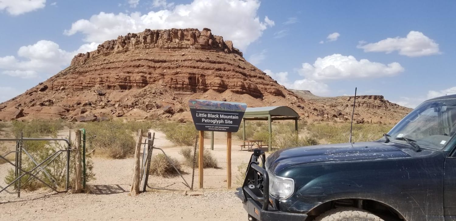
Black Mountain Petroglyph Site
Total Miles
6.9
Technical Rating
Best Time
Spring, Summer, Fall
Trail Type
Full-Width Road
Accessible By
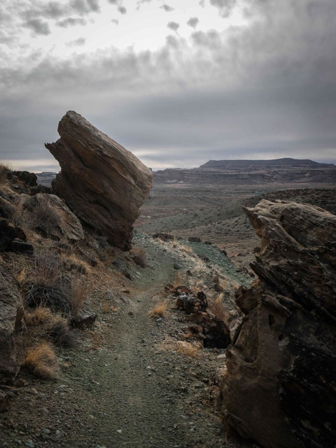
Trail Overview
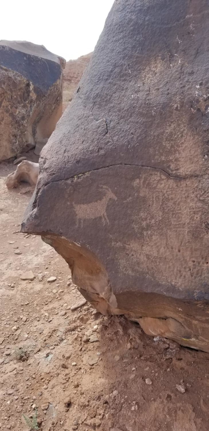
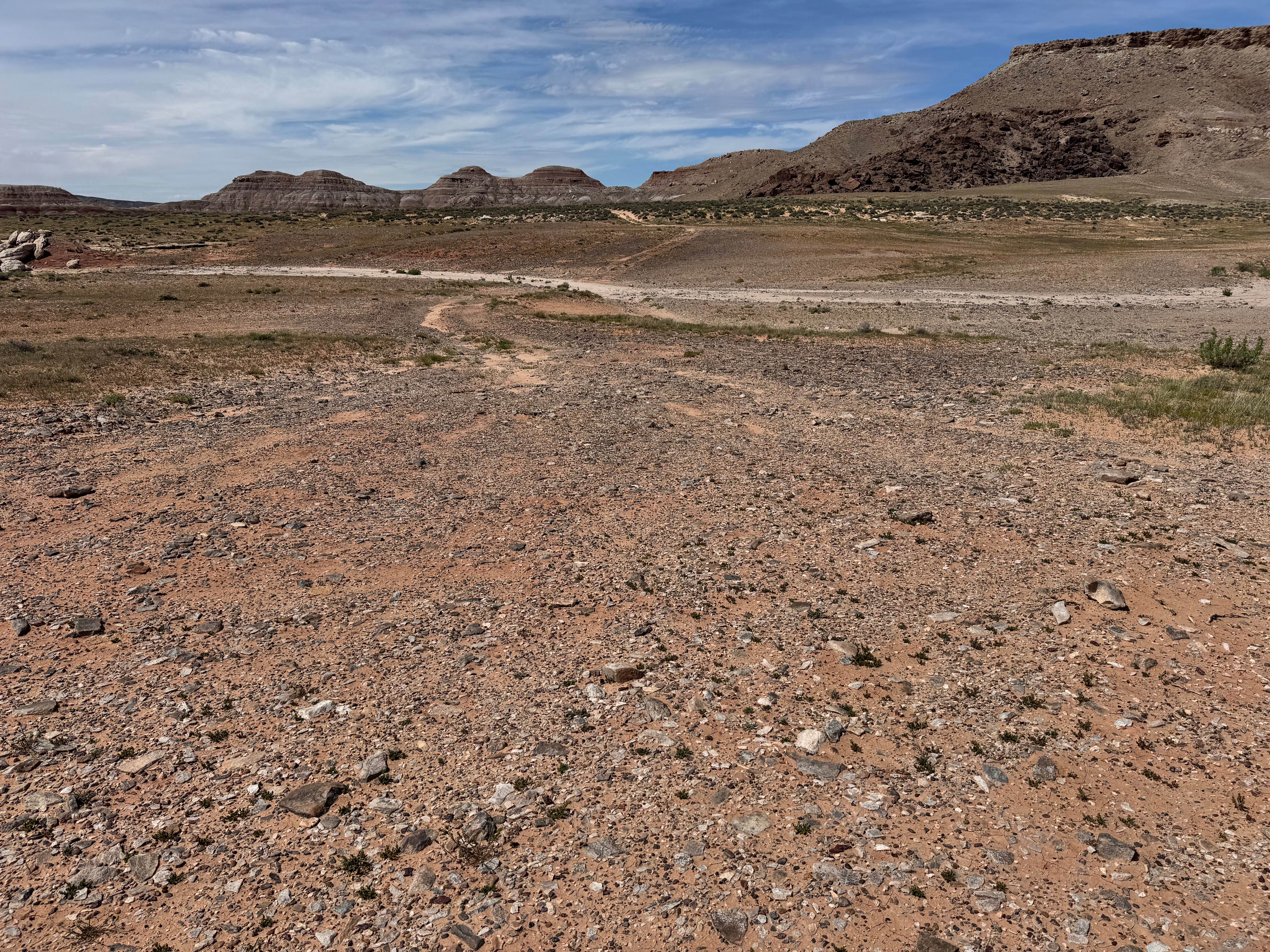
This is a fun drive to the Black Mountain petroglyphs on land administered by Bureau of Land Management. The road is easy and well traveled and shoots off from Warner Valley Road. This route is short and easy. The route is accessible from the Hurricane and St. George area for a quick day trip. Once at the site there are displays that explain the massive petroglyph site and hiking trail. Hiking the petroglyphs is easy and a great option for families and kids. Leave no trace, do not touch the petroglyphs and take nothing but photos. The road can be washed out and impassable when wet, even though it is flat. It is extremely hot in summer, so bring plenty of water.
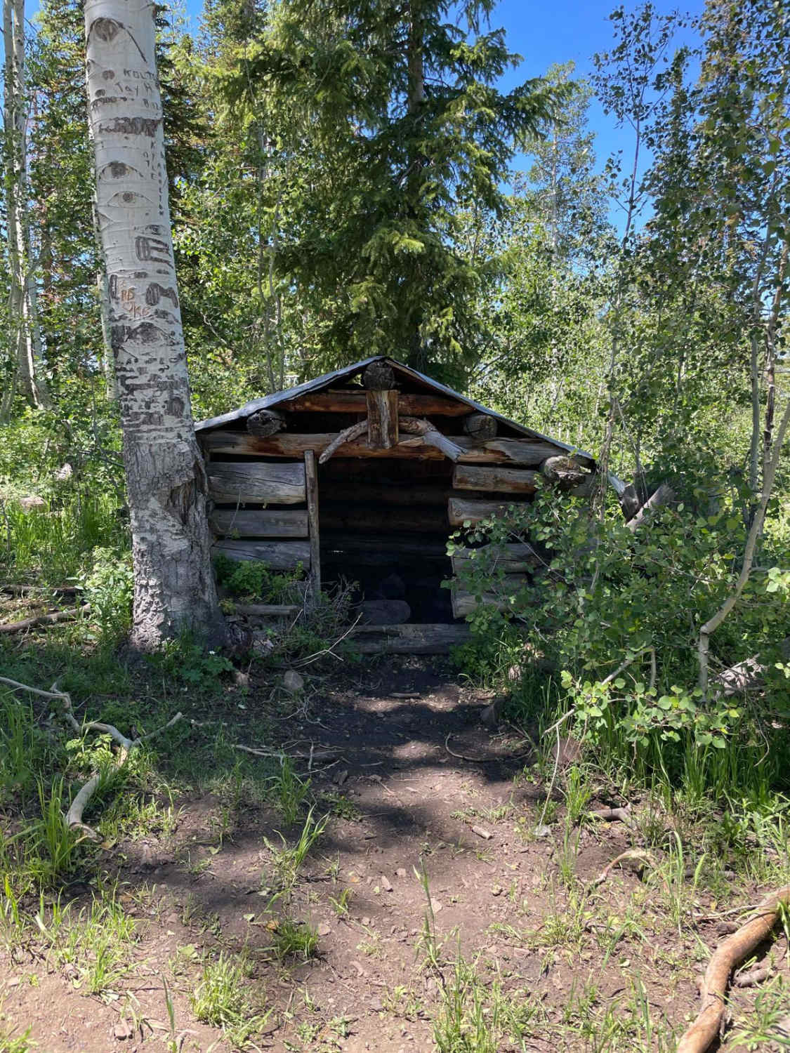
Photos of Black Mountain Petroglyph Site
Difficulty
This is an easy, flat dirt road on BLM land to a well known petroglyph site.
Status Reports
Black Mountain Petroglyph Site can be accessed by the following ride types:
- High-Clearance 4x4
- SUV
- SxS (60")
- ATV (50")
- Dirt Bike
Black Mountain Petroglyph Site Map
Popular Trails
Green Springs Trail
Hanging Boulder Trail
Northwest Sovereign
Hogs Back - FR 70094
The onX Offroad Difference
onX Offroad combines trail photos, descriptions, difficulty ratings, width restrictions, seasonality, and more in a user-friendly interface. Available on all devices, with offline access and full compatibility with CarPlay and Android Auto. Discover what you’re missing today!