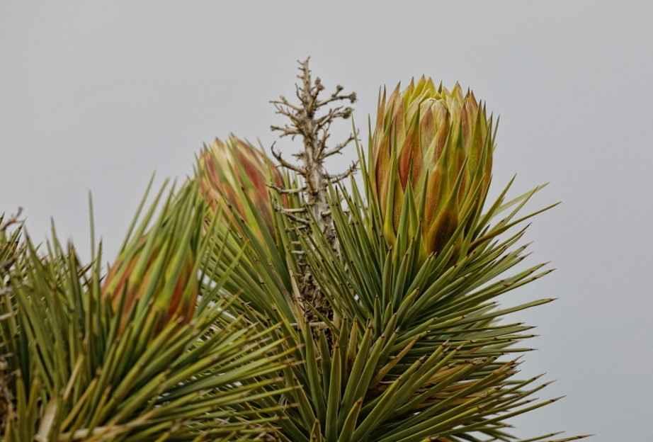
Off-Road Trails in Utah
Discover off-road trails in Utah
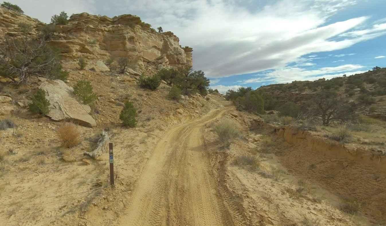
Learn more about BLM Route 107 
BLM Route 107
Total Miles
12.6
Tech Rating
Easy
Best Time
Summer, Fall, Spring


Learn more about BLM1443 - Davis Canyon Road
BLM1443 - Davis Canyon Road
Total Miles
7.9
Tech Rating
Easy
Best Time
Spring, Summer, Fall
Learn more about BLM721-Kane County 4150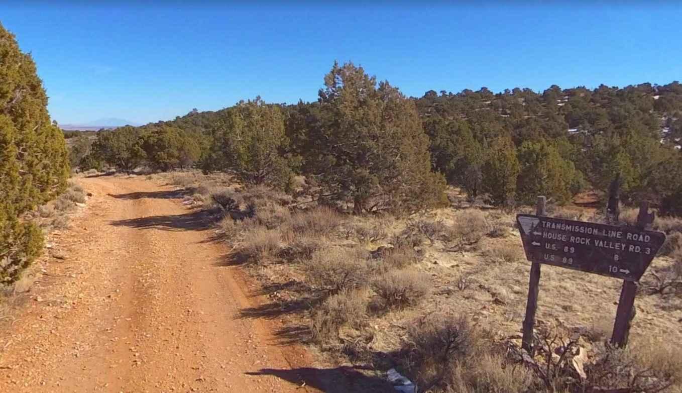
BLM721-Kane County 4150
Total Miles
3.0
Tech Rating
Easy
Best Time
Spring, Summer, Fall, Winter
Learn more about BLM730-Kane County 4080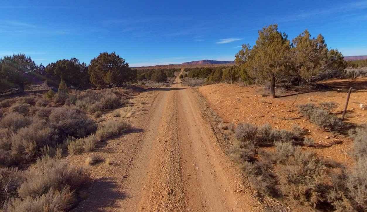
BLM730-Kane County 4080
Total Miles
3.0
Tech Rating
Easy
Best Time
Spring, Summer, Fall, Winter
Learn more about BLM735-Kane County 4040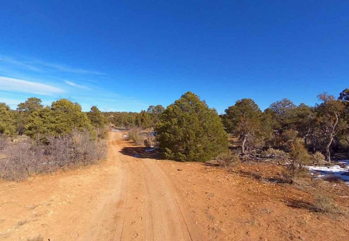
BLM735-Kane County 4040
Total Miles
2.4
Tech Rating
Easy
Best Time
Spring, Summer, Fall, Winter
Learn more about BLM735-Kane County 4130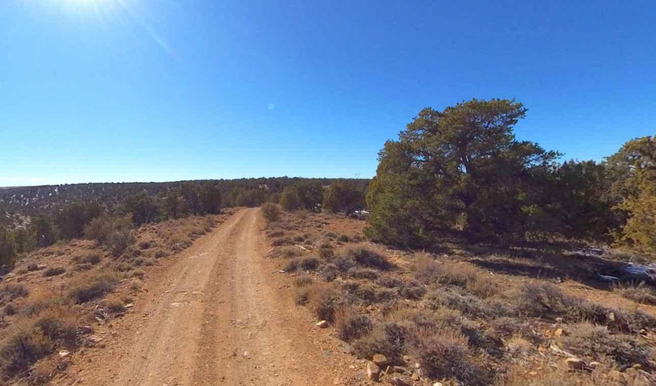
BLM735-Kane County 4130
Total Miles
4.2
Tech Rating
Easy
Best Time
Spring, Summer, Fall, Winter
Learn more about Blue Castle
Blue Castle
Total Miles
15.5
Tech Rating
Moderate
Best Time
Spring, Summer, Fall
Learn more about Blue Fly Badger (30110/FR 110)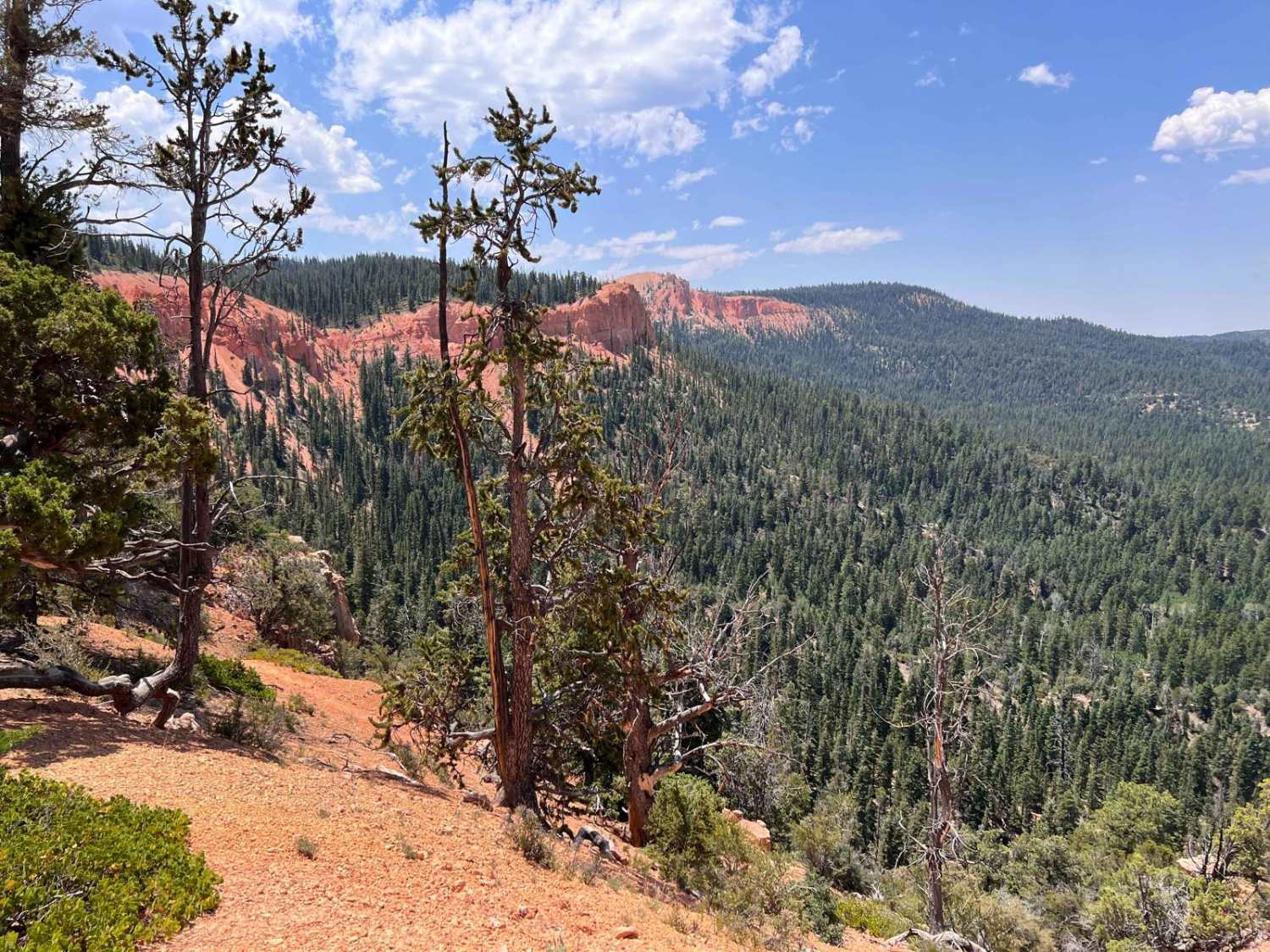
Blue Fly Badger (30110/FR 110)
Total Miles
10.3
Tech Rating
Easy
Best Time
Spring, Summer, Fall
ATV trails in Utah

Learn more about 14 Mile Road
14 Mile Road
Total Miles
14.7
Tech Rating
Easy
Best Time
Spring, Summer, Fall, Winter


UTV/side-by-side trails in Utah
Learn more about 14 Mile Road
14 Mile Road
Total Miles
14.7
Tech Rating
Easy
Best Time
Spring, Summer, Fall, Winter
The onX Offroad Difference
onX Offroad combines trail photos, descriptions, difficulty ratings, width restrictions, seasonality, and more in a user-friendly interface. Available on all devices, with offline access and full compatibility with CarPlay and Android Auto. Discover what you’re missing today!