BLM639
Total Miles
1.4
Technical Rating
Best Time
Spring, Summer, Fall, Winter
Trail Type
Full-Width Road
Accessible By
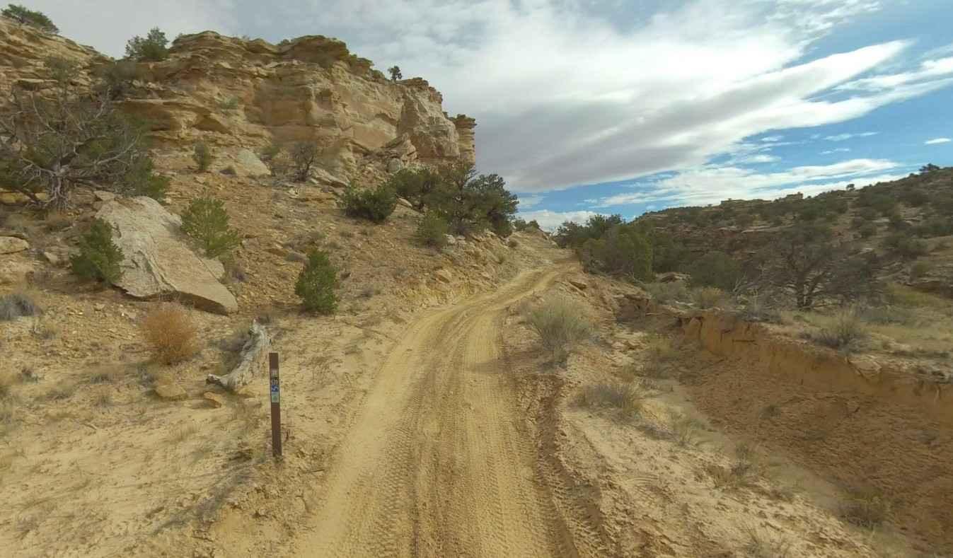
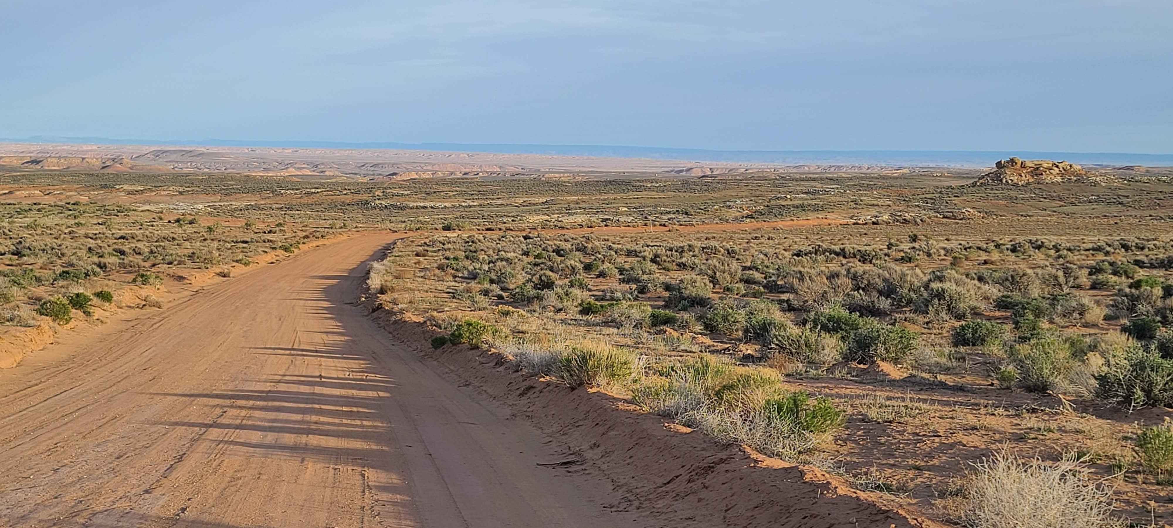
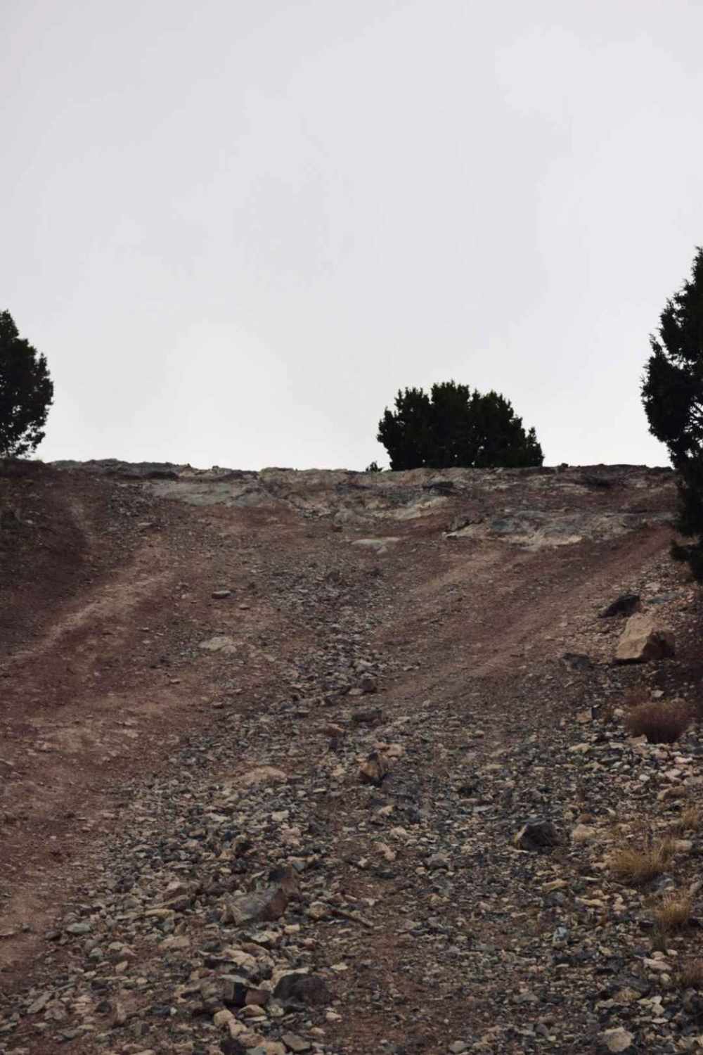
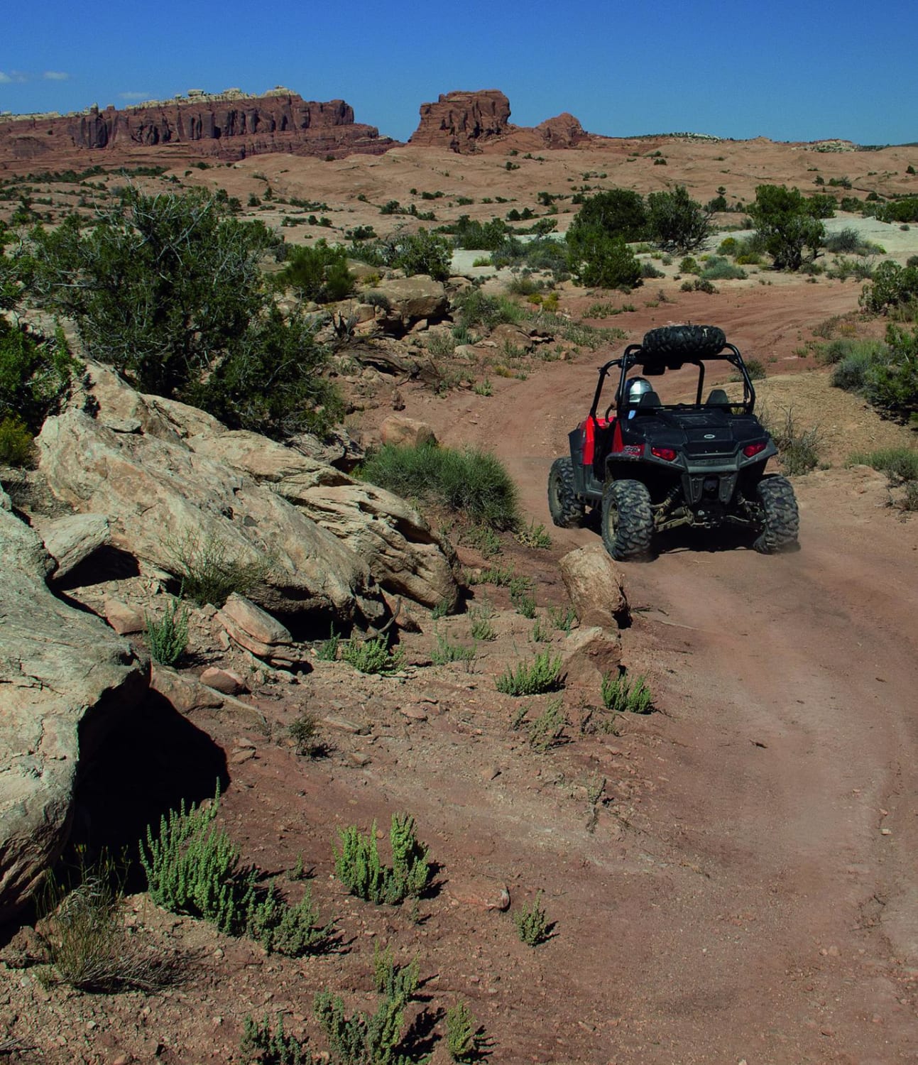
Trail Overview
BLM639 is a 1.4-mile point-to-point trail rated 3 of 10 located in Emery County and is part of the San Rafael Swell BLM-managed trail network. This is a dual-track trail suitable for all OHV recreational vehicles. The trail runs between the intersection of Eagle Canyon Trail to the west and the Utah DOT service road to the east. This trail is primarily used for those wishing to access the Eva Conover and Devil's Race Track trails. There is a small section on the trail where the option is to go up or down several small rock steps or to skirt this obstacle. Trailer parking can be found at the Justensen Flat OHV Staging Area on the west end of the Secret Mesa-BLM648 trail roughly 2 miles from the intersection with Eagle Canyon. Stay on the trail as this is not an open recreational area. The trail runs the southern boundary of the Eagle Canyon Wilderness Area. Cell phone service may be available but was intermittent at best. The nearest services are located either east or west along Interstate 70.
Photos of BLM639

Difficulty
Trail consisting of loose rocks, dirt, and sand with some slick rock surfaces, mud holes possible, no steps higher than 12". 4WD may be required, aggressive tires a plus.
Status Reports
BLM639 can be accessed by the following ride types:
- High-Clearance 4x4
- SUV
- SxS (60")
- ATV (50")
- Dirt Bike
BLM639 Map
Popular Trails
Halfway Hollow Road - Uintah County 2230
Tight Tree Trail
Paunsaugunt ATV Trail North
Fallen Peace Officer Trail
The onX Offroad Difference
onX Offroad combines trail photos, descriptions, difficulty ratings, width restrictions, seasonality, and more in a user-friendly interface. Available on all devices, with offline access and full compatibility with CarPlay and Android Auto. Discover what you’re missing today!