BLM13476
Total Miles
1.7
Technical Rating
Best Time
Spring, Summer, Fall, Winter
Trail Type
Full-Width Road
Accessible By
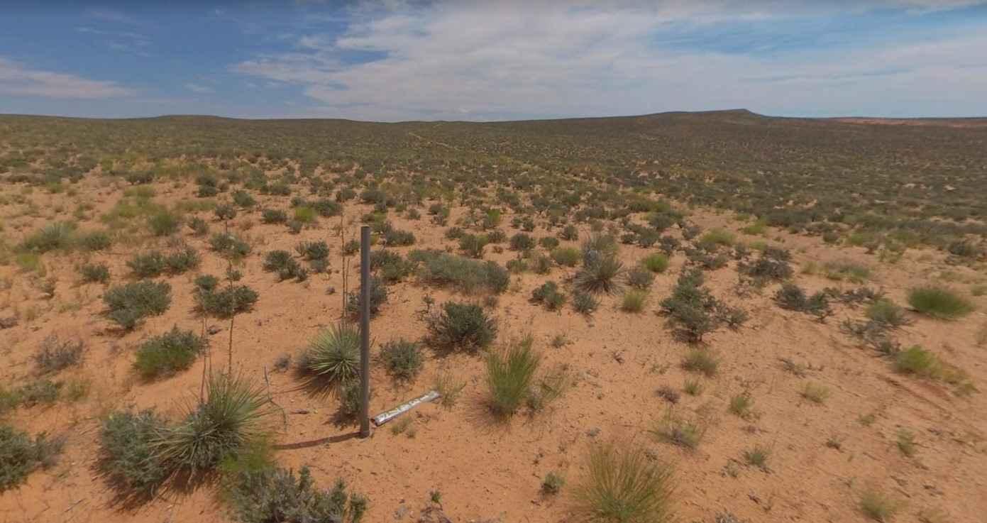
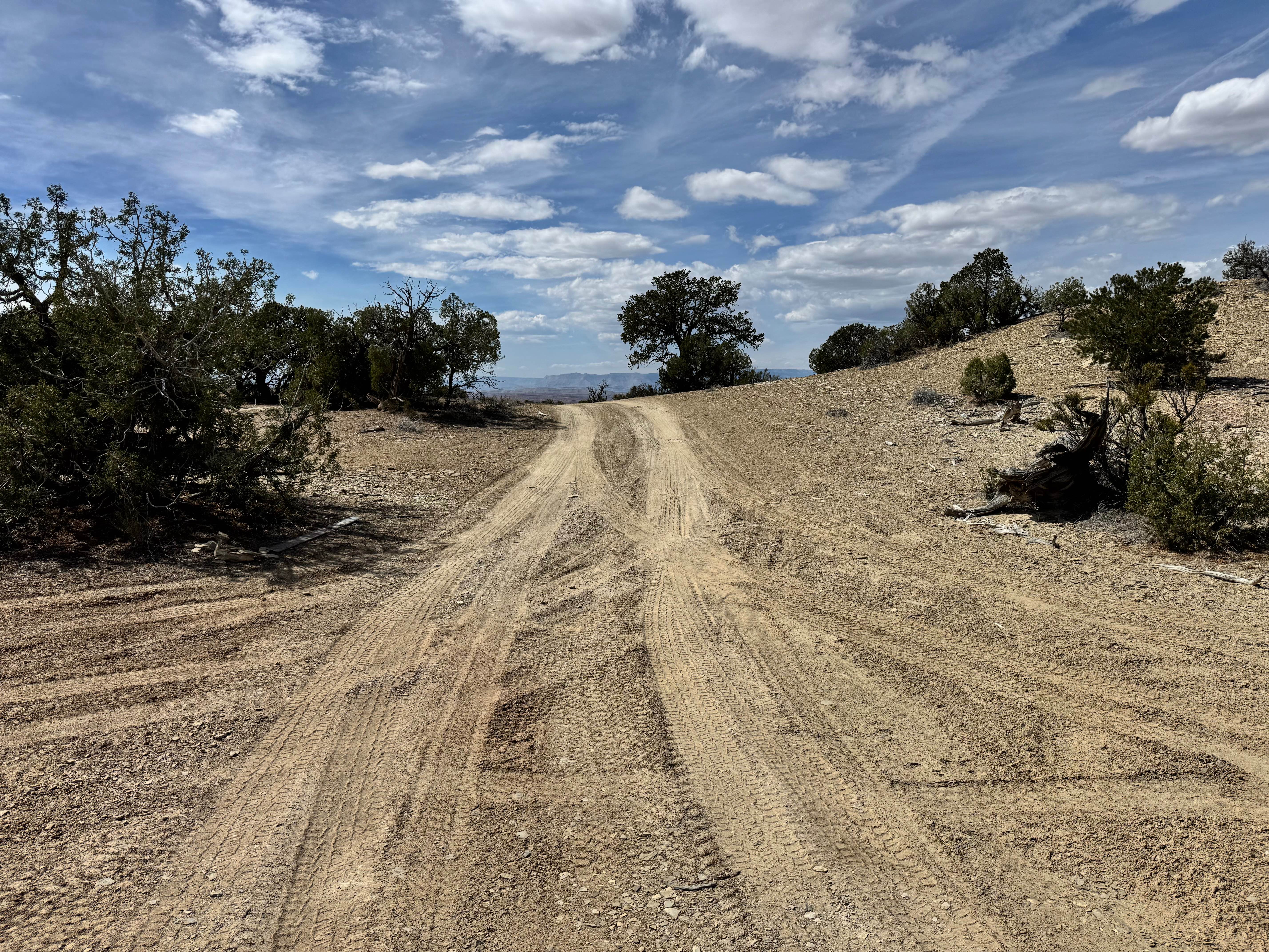
Trail Overview
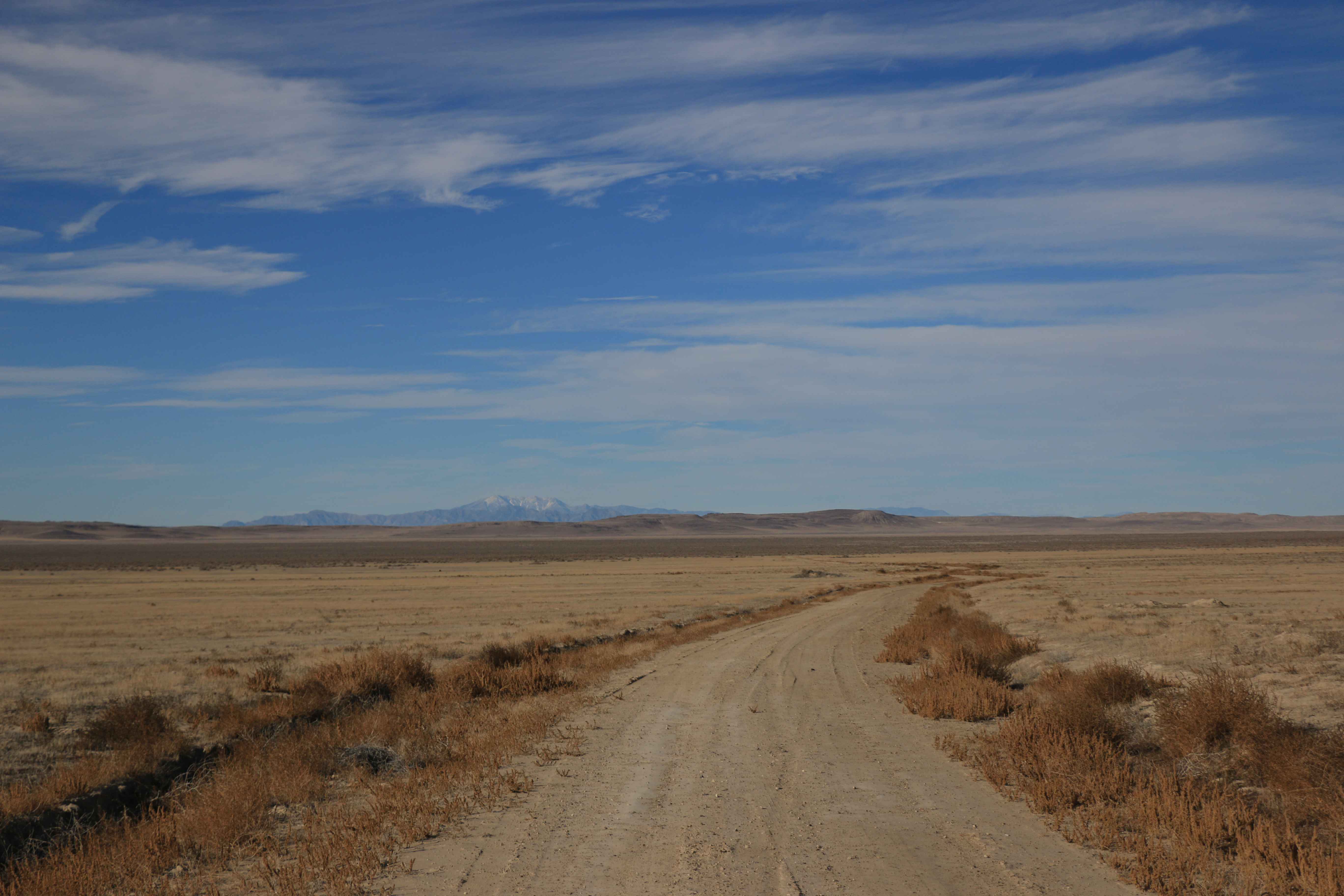
BLM13476 is a 1.7-mile trail rated 3 of 10 located in Garfield County, Utah just north of the Glen Canyon National Recreational Area. BLM13476 is a connector trail that provides access to BLM13480 and the overlook view at Good Hope Bar. This single-track trail has no significant points of interest other than providing scenic views of the mountains to the north. The trail is located within the Cane Spring Desert. Once you leave the highway cell phone service is intermittent. There are several fuel stations along Highway 276. The nearest full services will be located in Hanksville to the north.
Photos of BLM13476

Difficulty
Trail consisting of loose rocks, dirt, and sand with some slickrock surfaces, mud holes possible, no steps higher than 12". 4WD may be required, aggressive tires a plus.
Status Reports
BLM13476 can be accessed by the following ride types:
- High-Clearance 4x4
- SUV
- SxS (60")
- ATV (50")
- Dirt Bike
BLM13476 Map
Popular Trails
Mud Springs (2173)
Devil's Playground and Dodge Truck Mines
County Road 3417
The onX Offroad Difference
onX Offroad combines trail photos, descriptions, difficulty ratings, width restrictions, seasonality, and more in a user-friendly interface. Available on all devices, with offline access and full compatibility with CarPlay and Android Auto. Discover what you’re missing today!