County Road 3417
Total Miles
2.8
Technical Rating
Best Time
Spring, Summer, Fall, Winter
Trail Type
Full-Width Road
Accessible By
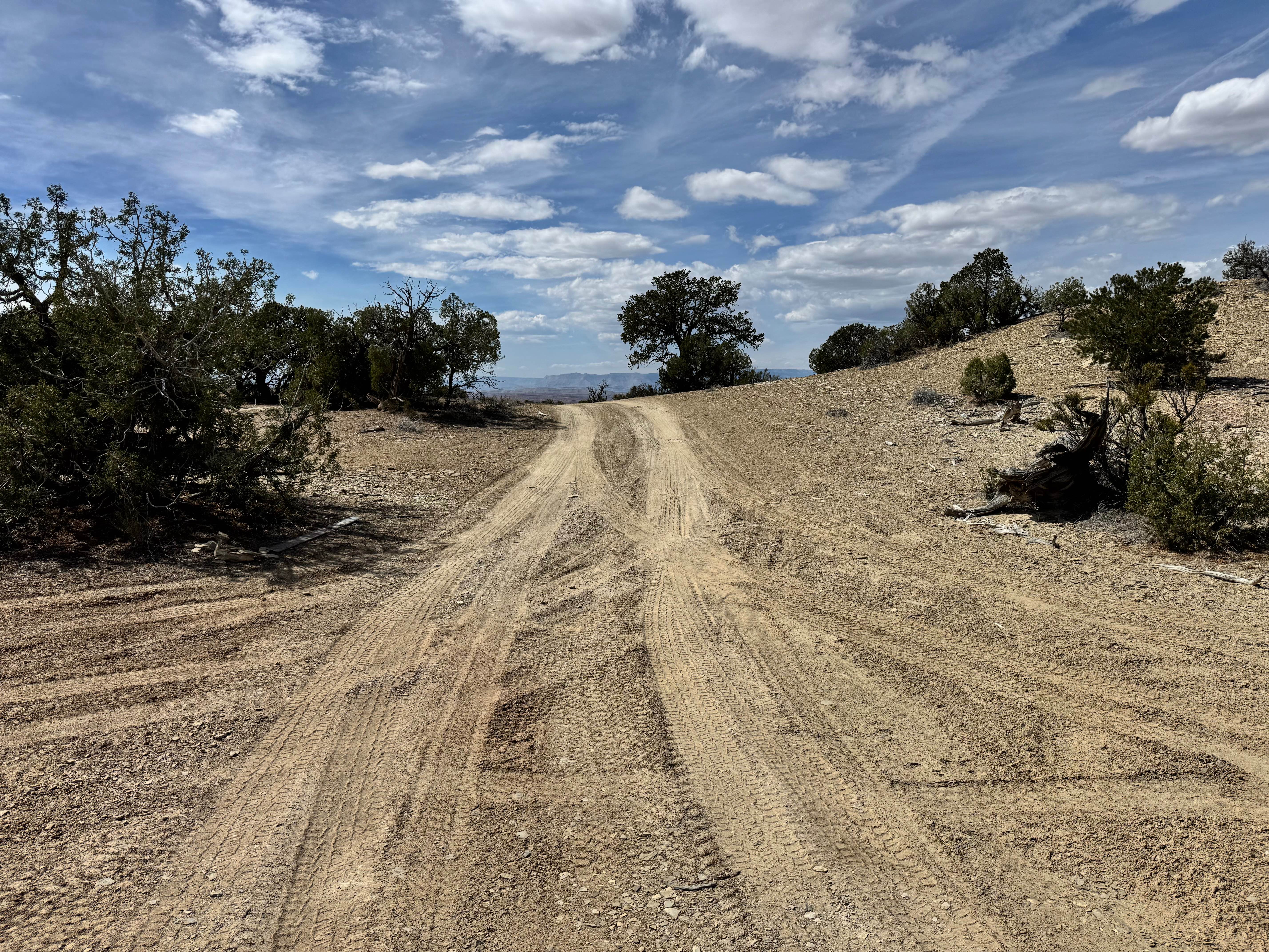
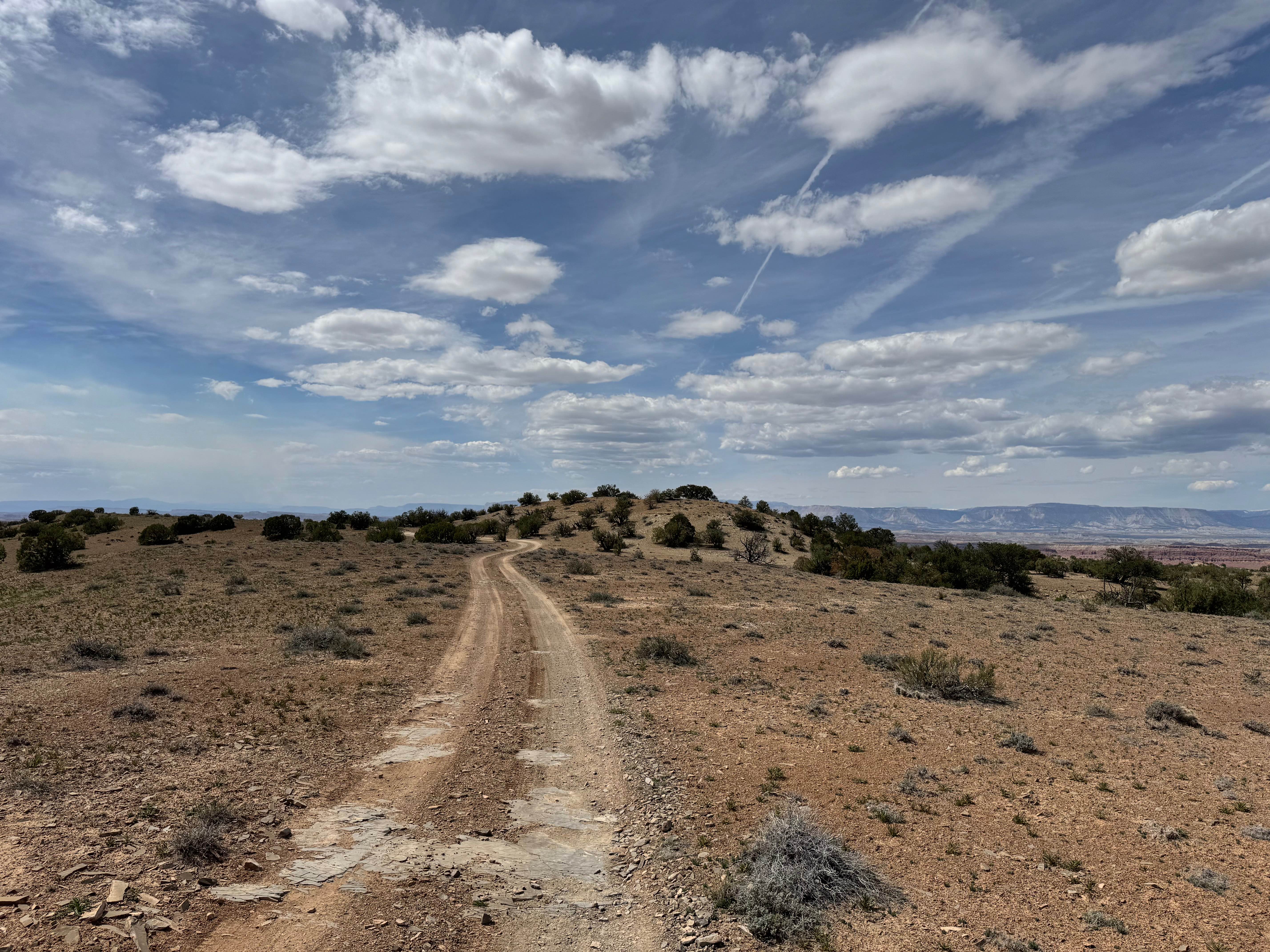
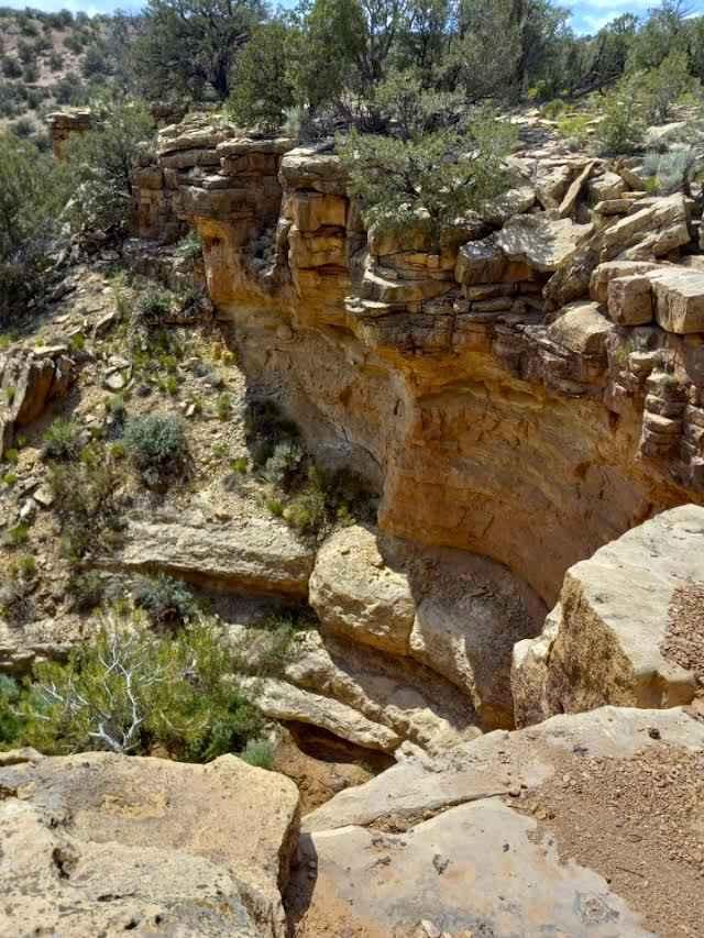
Trail Overview
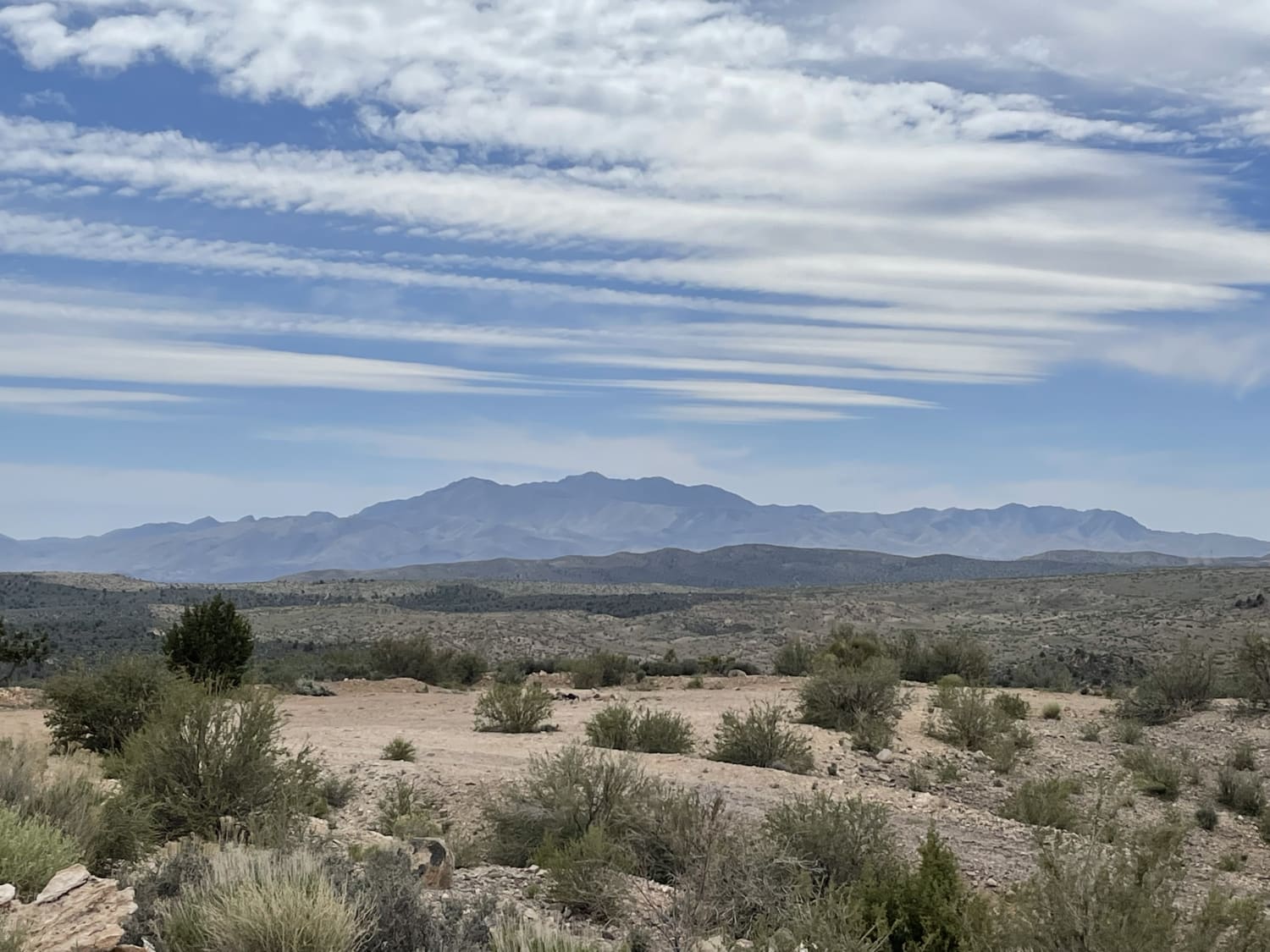
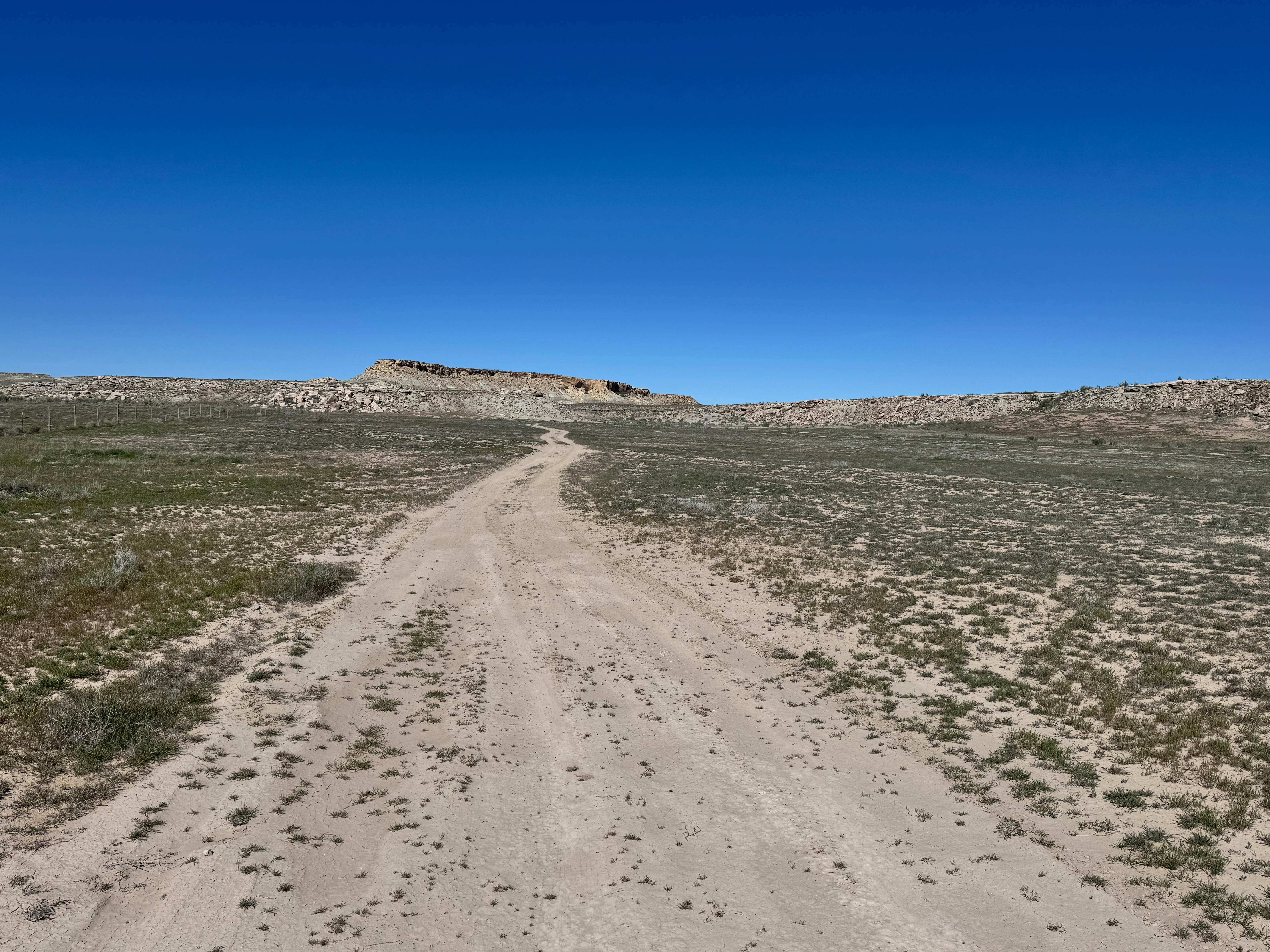
This scenic backcountry route travels across open desert ridgelines and rolling terrain with wide views in nearly every direction. The trail is primarily a narrow two-track made up of dirt, sand, and small loose rock, with gentle climbs, shallow dips, and sweeping curves as it winds through scattered juniper and brush. Most of the route is easy to follow, but drivers should expect occasional wash-worn spots that can become more challenging after rain. The higher sections provide excellent overlook opportunities, while lower stretches weave through classic high desert terrain. This is a great route for those looking for quiet scenery, light adventure, and a slower-paced exploration of the backcountry.
Photos of County Road 3417
Difficulty
This route is suitable for most stock high-clearance SUVs and 4x4s in dry conditions. The trail consists mainly of sand, small loose rock, and shallow dips. There are no major technical obstacles, but weather can quickly increase difficulty, especially after rain, when soft spots and erosion may develop.
History
Like many routes in the San Rafael Swell, this trail travels through a landscape shaped by ranching, mining, and early travel corridors. The region has long been used by Native peoples, settlers, and explorers moving through central Utah's rugged desert country.
Status Reports
County Road 3417 can be accessed by the following ride types:
- High-Clearance 4x4
- SUV
- SxS (60")
- ATV (50")
- Dirt Bike
County Road 3417 Map
Popular Trails
Wolverine Loop Road
Train Track Trail West
Lower Enterprise Lakes / Veyo Road
Yellow Cat Scenic Connector
The onX Offroad Difference
onX Offroad combines trail photos, descriptions, difficulty ratings, width restrictions, seasonality, and more in a user-friendly interface. Available on all devices, with offline access and full compatibility with CarPlay and Android Auto. Discover what you’re missing today!