Lower Enterprise Lakes / Veyo Road
Total Miles
10.0
Technical Rating
Best Time
Spring, Fall
Trail Type
Full-Width Road
Accessible By
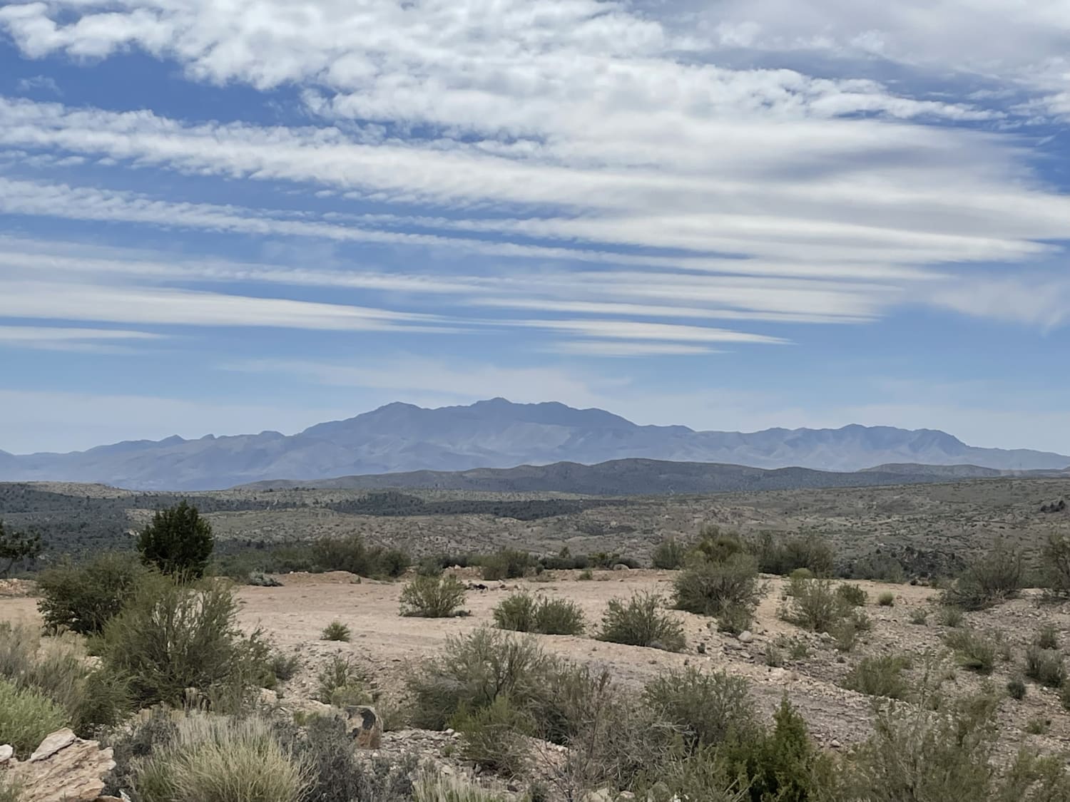
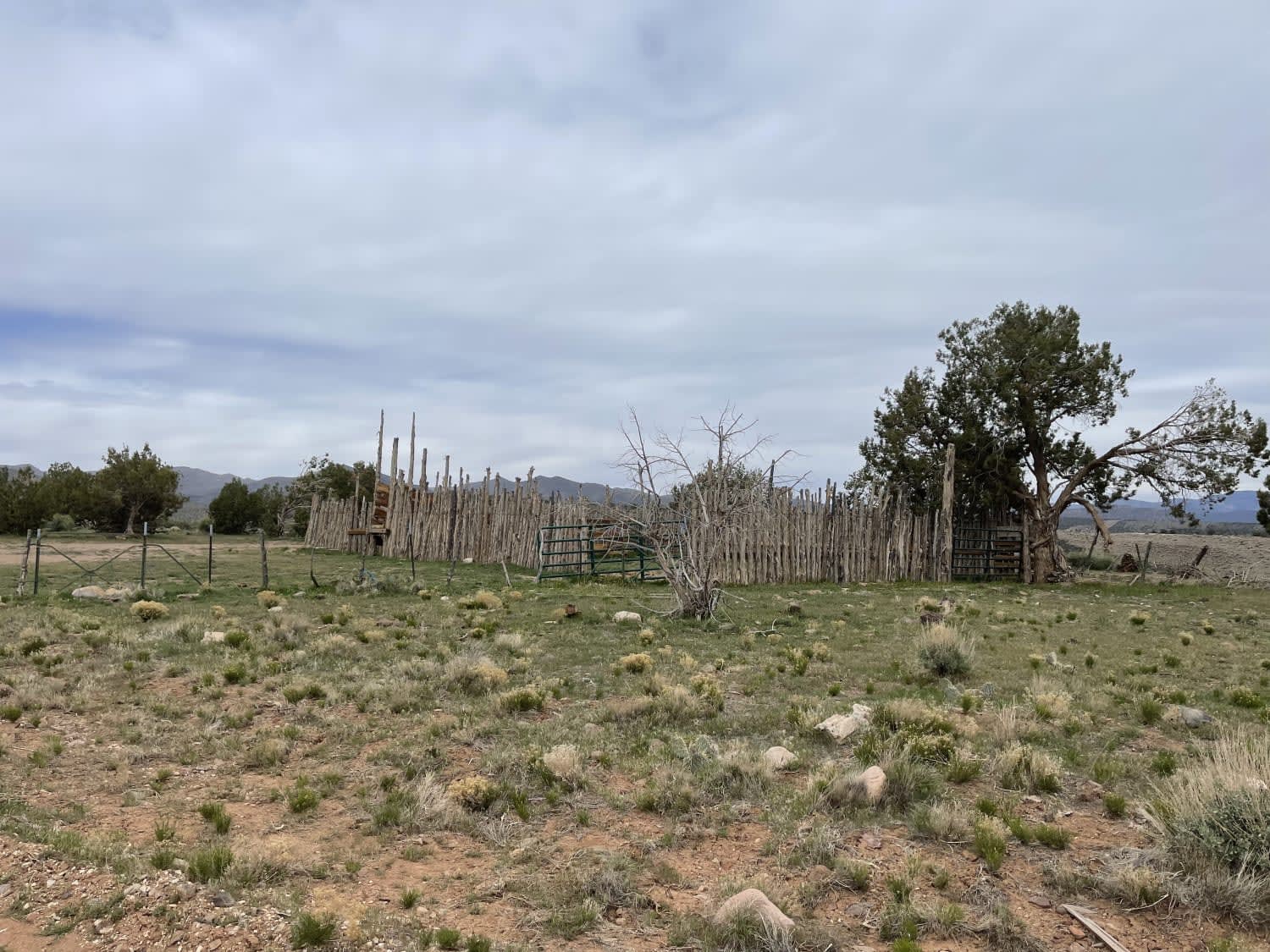
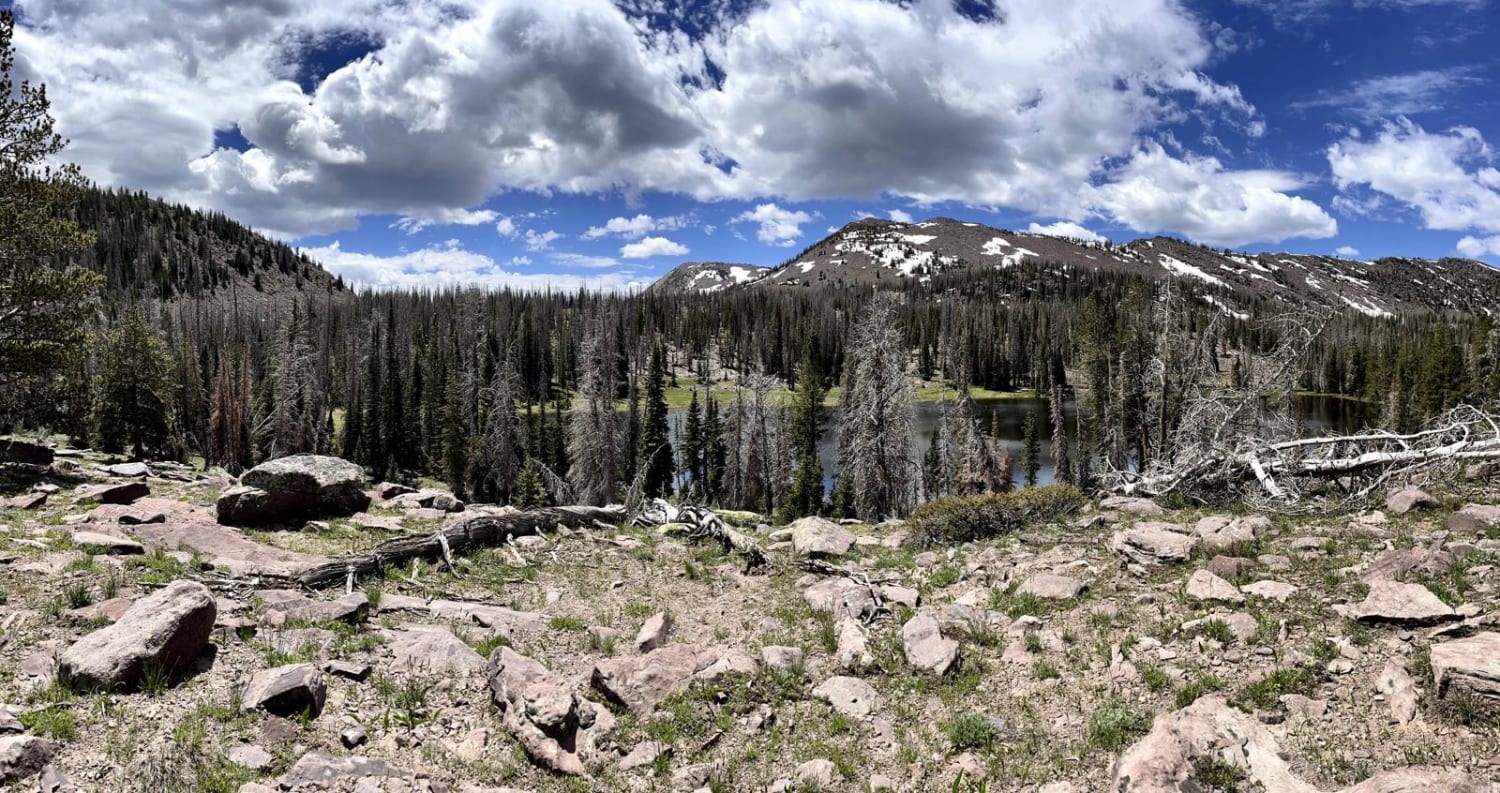
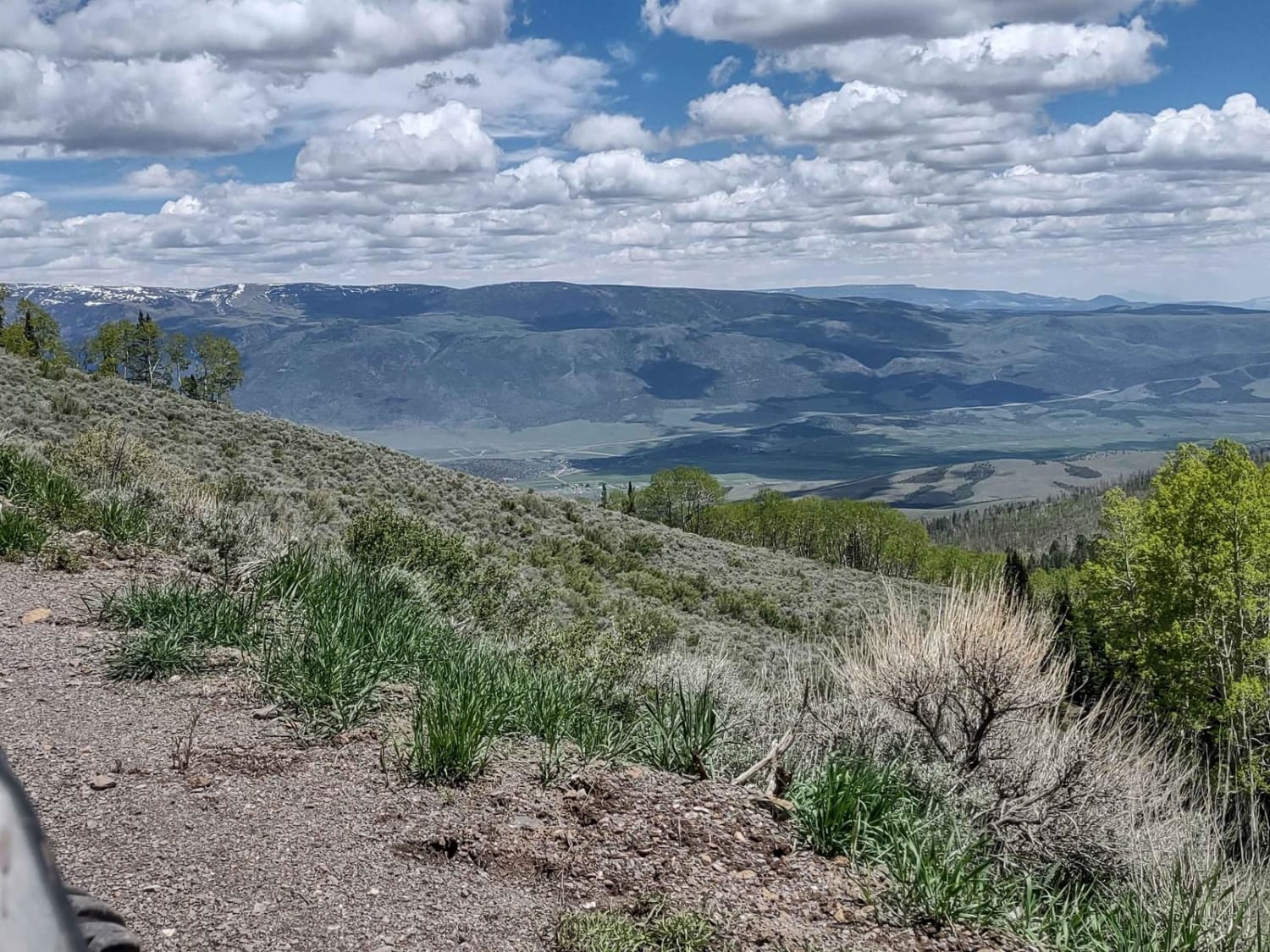
Trail Overview
This easy two-lane washboard road heads up into the hills towards enterprise lakes and is almost all uphill. Once in the National Forest, the trail narrows to a single width with pullouts to pass oncoming traffic. There are many camping opportunities along the way down the many different pullouts. At one point, it runs along a creek with lush banks and large shade trees. This section ends at the turn for Beaver Dam Wash Trail with access to the Bull Valley Mtn ATV trail. There are 2 bars of LTE cell service. No winter maintenance and could be impassable and very mucky when wet.
Photos of Lower Enterprise Lakes / Veyo Road
Difficulty
Wide near the bottom, washboard, narrower near the top but there is still room to pull over and let oncoming pass.
Status Reports
Lower Enterprise Lakes / Veyo Road can be accessed by the following ride types:
- High-Clearance 4x4
- SUV
- SxS (60")
- ATV (50")
- Dirt Bike
Lower Enterprise Lakes / Veyo Road Map
Popular Trails

Sagebrush Sprint

North Fork Manti Canyon - FR50046
Cove Mountain Road (FS# 40068)
The onX Offroad Difference
onX Offroad combines trail photos, descriptions, difficulty ratings, width restrictions, seasonality, and more in a user-friendly interface. Available on all devices, with offline access and full compatibility with CarPlay and Android Auto. Discover what you’re missing today!