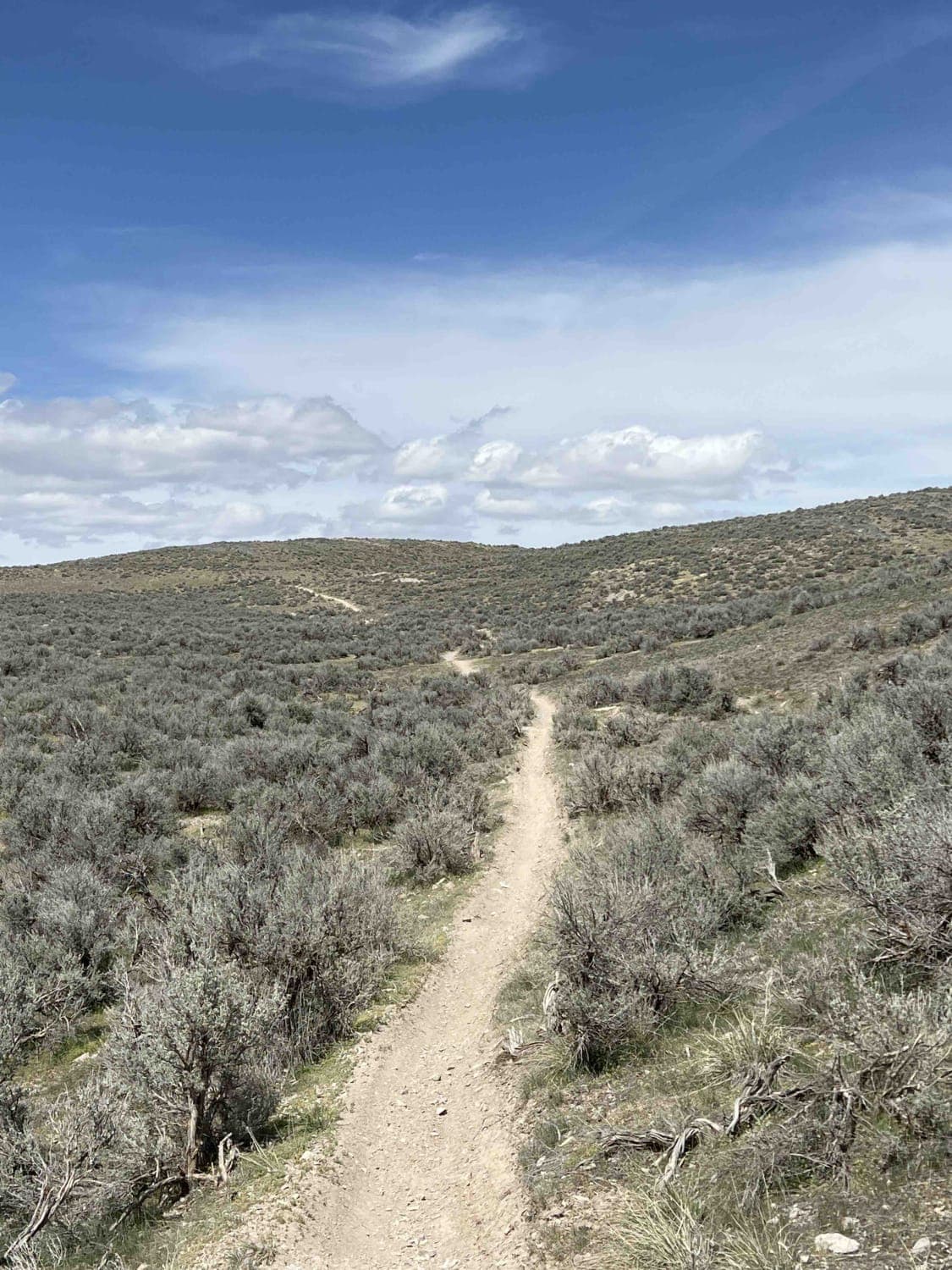
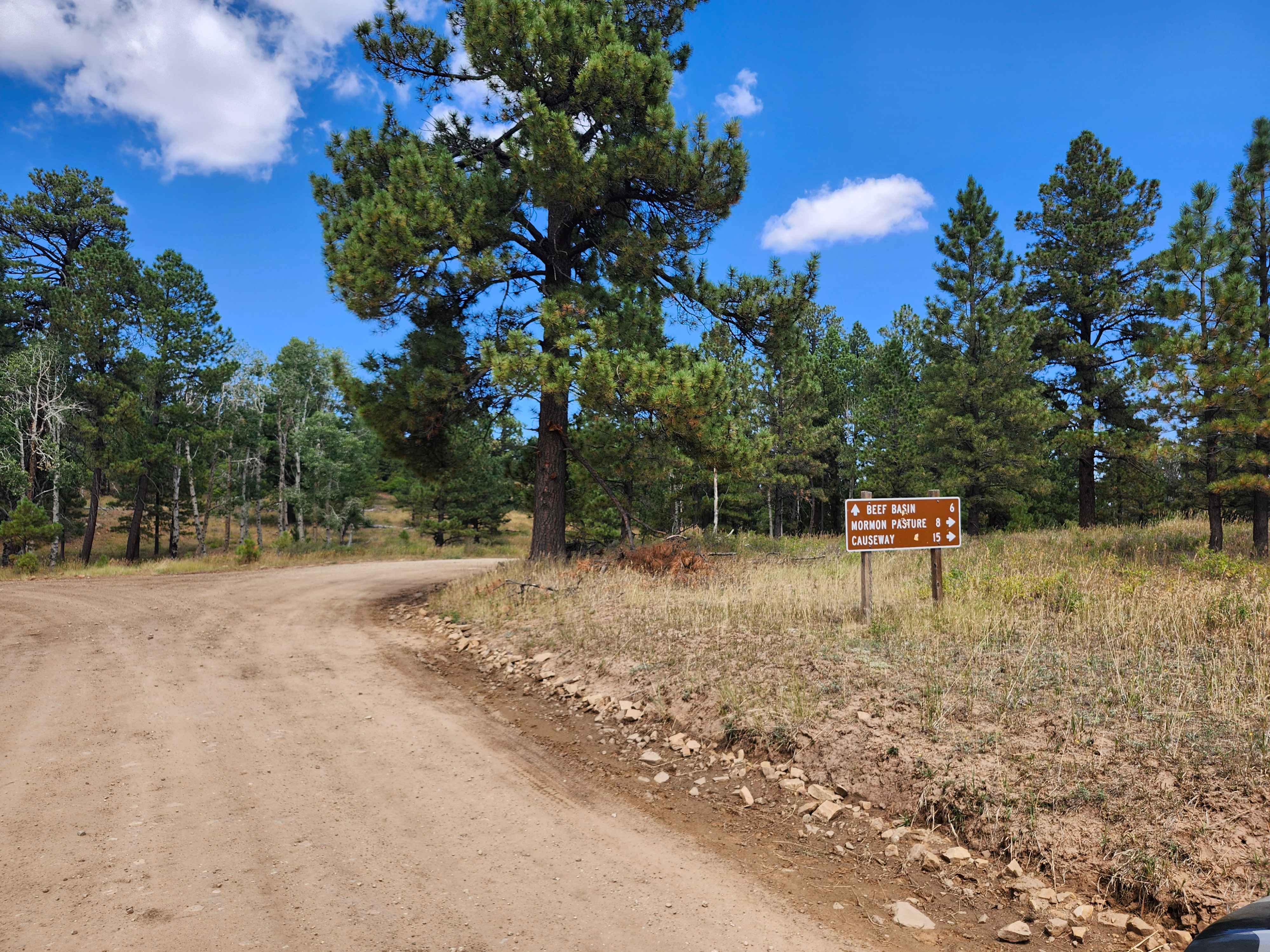
Off-Road Trails in Utah
Discover off-road trails in Utah
Learn more about Canal Road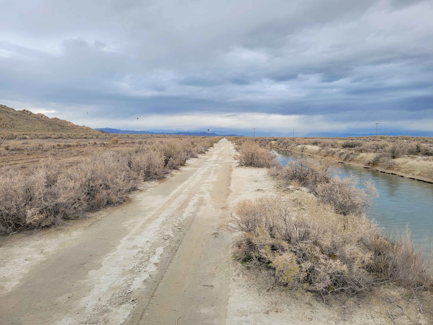
Canal Road
Total Miles
1.3
Tech Rating
Easy
Best Time
Winter, Fall, Summer, Spring
Learn more about Cane Wash Cutoff
Cane Wash Cutoff
Total Miles
2.7
Tech Rating
Easy
Best Time
Spring, Summer, Fall, Winter
Learn more about Canyon Carver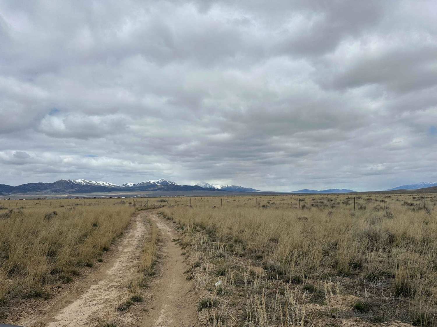
Canyon Carver
Total Miles
7.7
Tech Rating
Easy
Best Time
Summer, Fall, Winter, Spring
Learn more about Canyon Wash - BLM 9188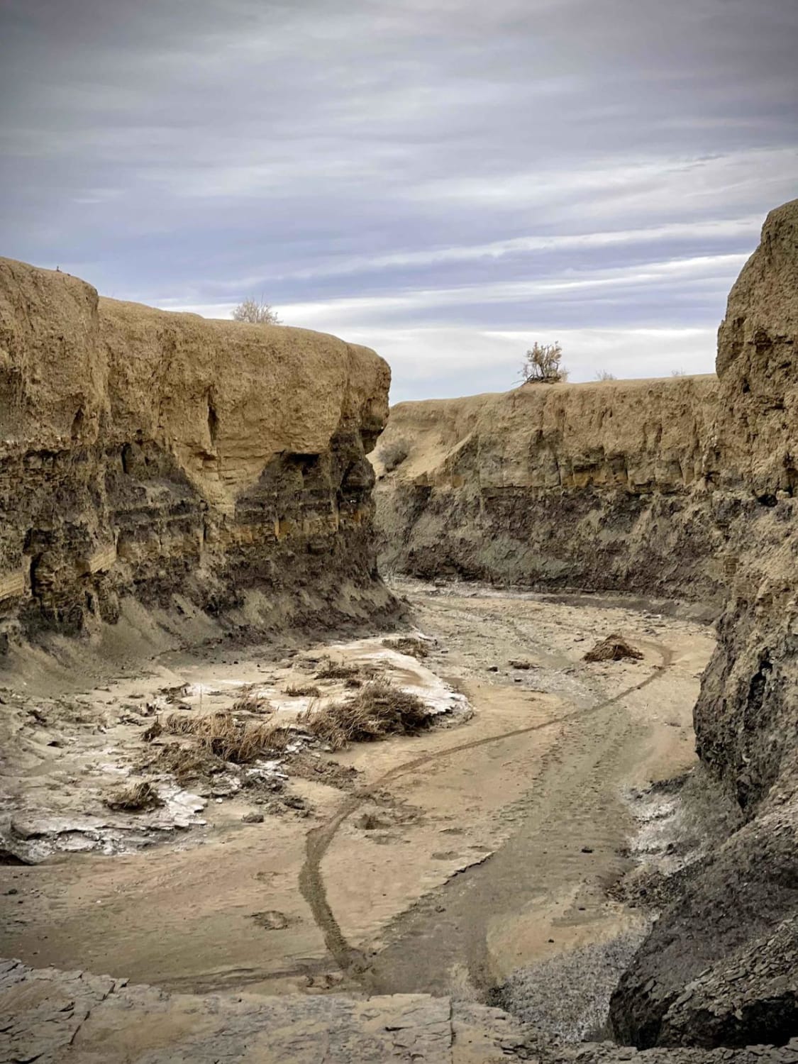
Canyon Wash - BLM 9188
Total Miles
4.1
Tech Rating
Easy
Best Time
Fall, Spring
Learn more about Canyonlands Overlook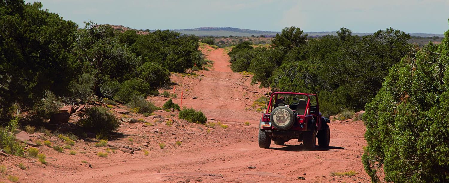
Canyonlands Overlook
Total Miles
6.3
Tech Rating
Moderate
Best Time
Spring, Summer, Fall
Learn more about Card Canyon West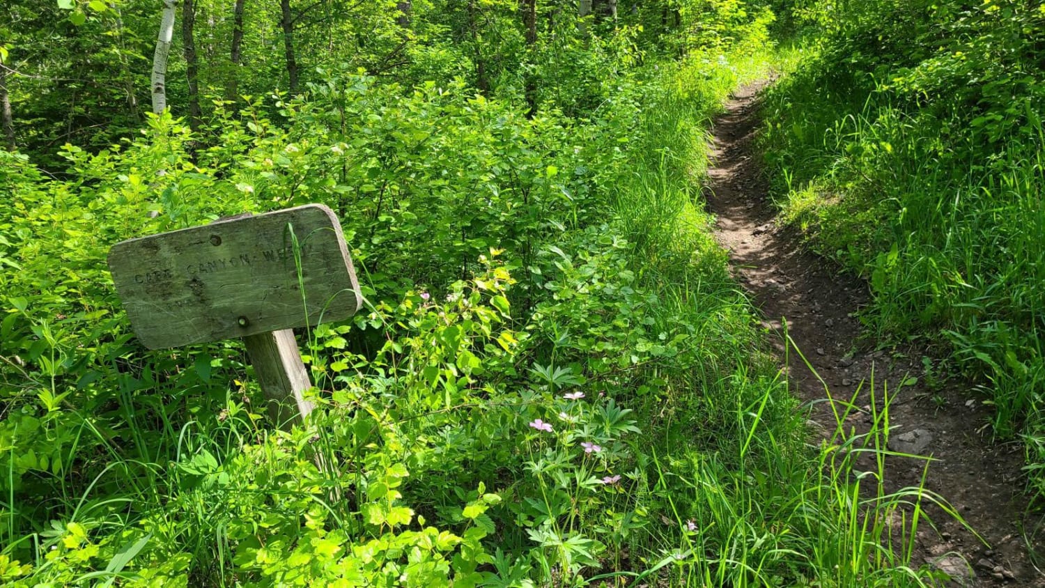
Card Canyon West
Total Miles
2.2
Tech Rating
Difficult
Best Time
Summer, Fall, Spring
Learn more about Cart Hollow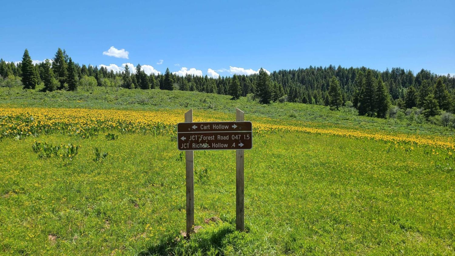
Cart Hollow
Total Miles
1.9
Tech Rating
Moderate
Best Time
Spring, Summer, Fall
Learn more about Cascade Creek Falls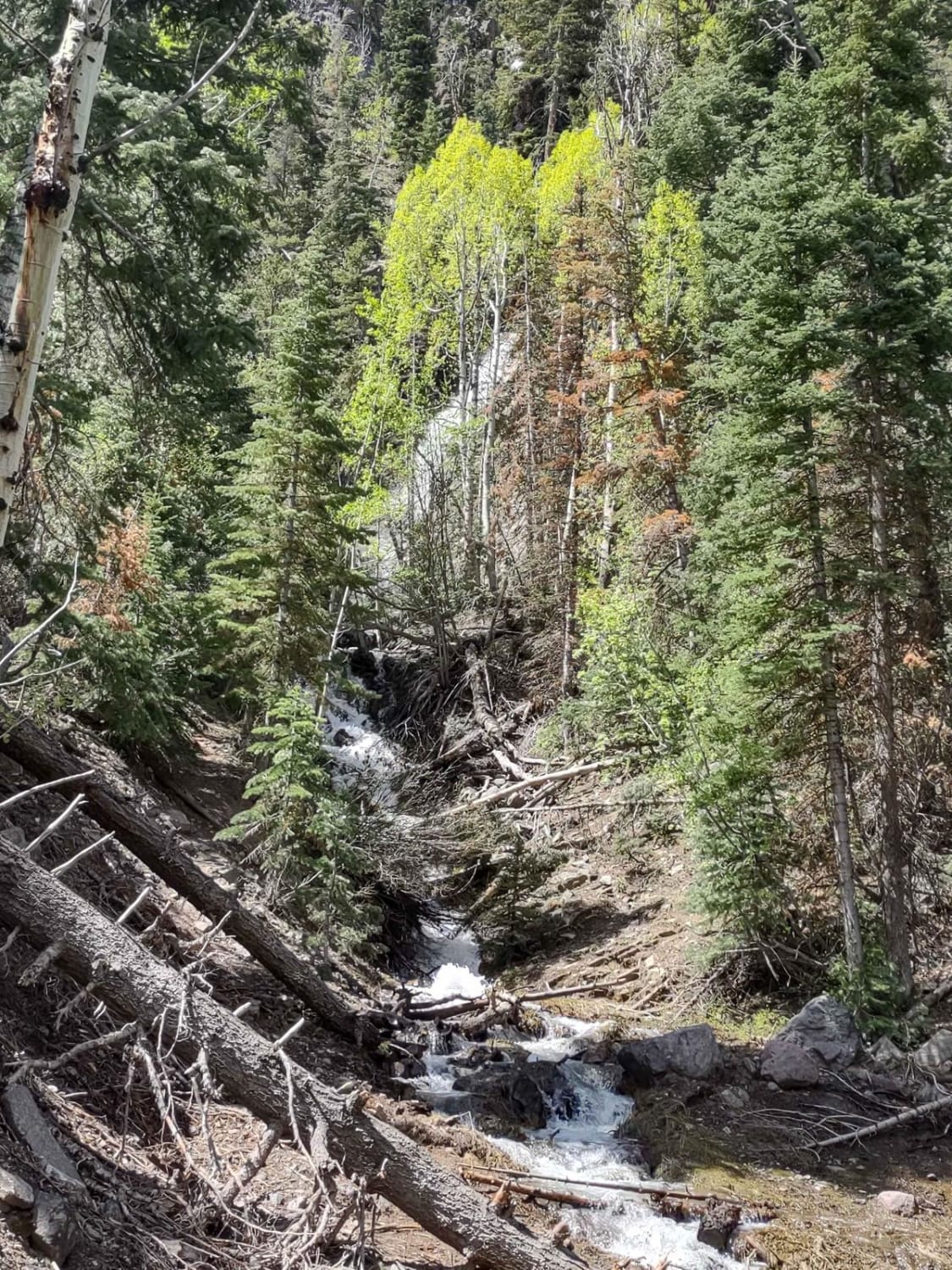
Cascade Creek Falls
Total Miles
1.1
Tech Rating
Easy
Best Time
Spring, Summer, Fall
Learn more about Cascade Falls Pink Cliff BLM 30054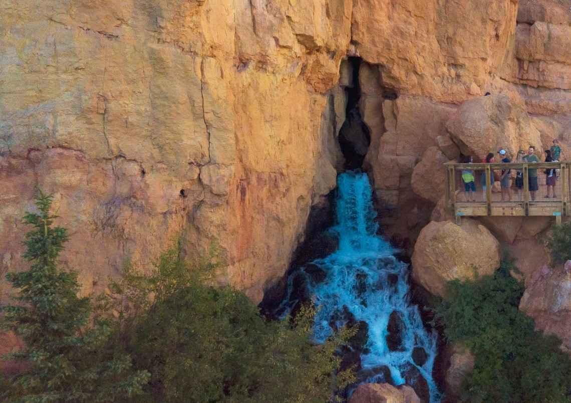
Cascade Falls Pink Cliff BLM 30054
Total Miles
2.7
Tech Rating
Easy
Best Time
Spring, Summer, Fall
Learn more about Casto Bowl - BLM 30116
Casto Bowl - BLM 30116
Total Miles
3.9
Tech Rating
Easy
Best Time
Spring, Summer, Fall
Learn more about Casto Canyon OHV Trail-NFS33089
Casto Canyon OHV Trail-NFS33089
Total Miles
3.7
Tech Rating
Easy
Best Time
Spring, Summer, Fall, Winter
Learn more about Cat East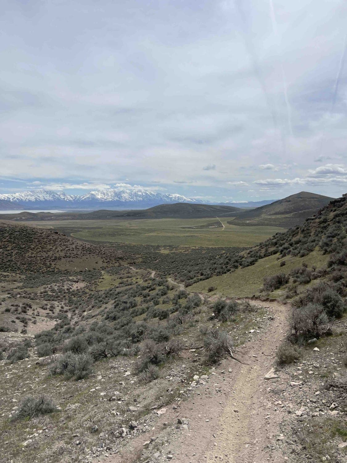
Cat East
Total Miles
3.2
Tech Rating
Moderate
Best Time
Summer, Fall, Winter, Spring
Learn more about Catamount Road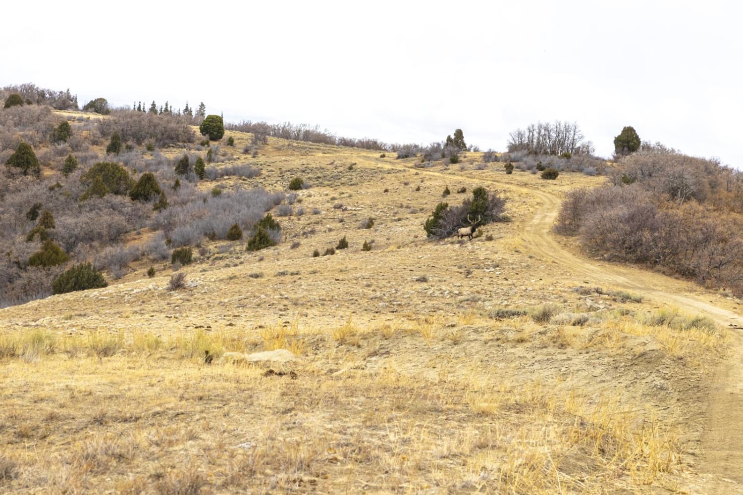
Catamount Road
Total Miles
2.4
Tech Rating
Easy
Best Time
Spring, Summer, Fall
Learn more about Catamount Trail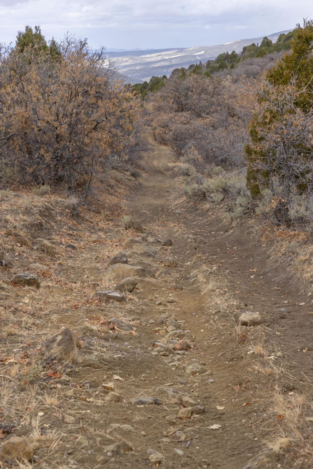
Catamount Trail
Total Miles
1.6
Tech Rating
Easy
Best Time
Spring, Summer, Fall
Learn more about Cave ATV Trail 31039
Cave ATV Trail 31039
Total Miles
2.2
Tech Rating
Easy
Best Time
Spring, Summer, Winter, Fall
ATV trails in Utah

Learn more about 14 Mile Road
14 Mile Road
Total Miles
14.7
Tech Rating
Easy
Best Time
Spring, Summer, Fall, Winter


UTV/side-by-side trails in Utah
Learn more about 14 Mile Road
14 Mile Road
Total Miles
14.7
Tech Rating
Easy
Best Time
Spring, Summer, Fall, Winter
The onX Offroad Difference
onX Offroad combines trail photos, descriptions, difficulty ratings, width restrictions, seasonality, and more in a user-friendly interface. Available on all devices, with offline access and full compatibility with CarPlay and Android Auto. Discover what you’re missing today!