Off-Road Trails in Utah
Discover off-road trails in Utah
Learn more about Conger Mountain OHV Route 6
Conger Mountain OHV Route 6
Total Miles
10.4
Tech Rating
Easy
Best Time
Spring, Summer, Fall, Winter
Learn more about Conger Mountain OHV Route 8
Conger Mountain OHV Route 8
Total Miles
1.4
Tech Rating
Easy
Best Time
Spring, Summer, Fall, Winter
Learn more about Constrictor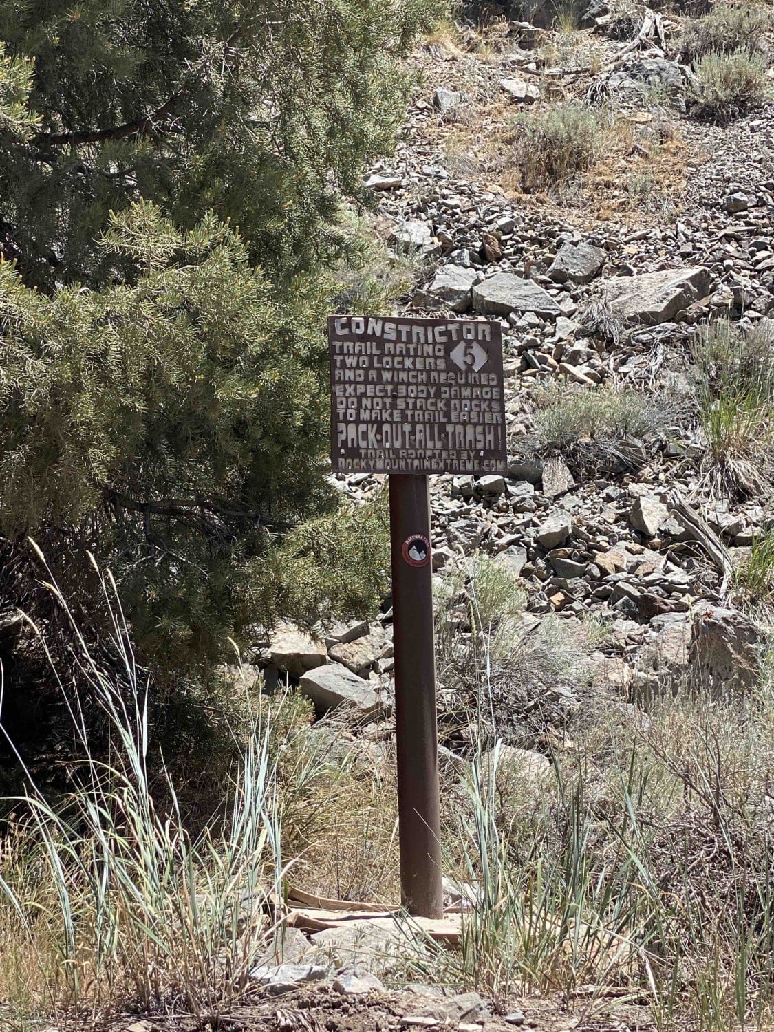
Constrictor
Total Miles
0.6
Tech Rating
Extreme
Best Time
Spring, Summer, Fall
Learn more about Convert Arch Trail
Convert Arch Trail
Total Miles
3.4
Tech Rating
Easy
Best Time
Spring, Summer, Fall, Winter
Learn more about Coop Creek - FR 70082
Coop Creek - FR 70082
Total Miles
13.9
Tech Rating
Easy
Best Time
Summer, Fall
Learn more about Copper Ridge
Copper Ridge
Total Miles
25.7
Tech Rating
Moderate
Best Time
Spring, Summer, Fall, Winter
Learn more about Coral Pink Sand Dunes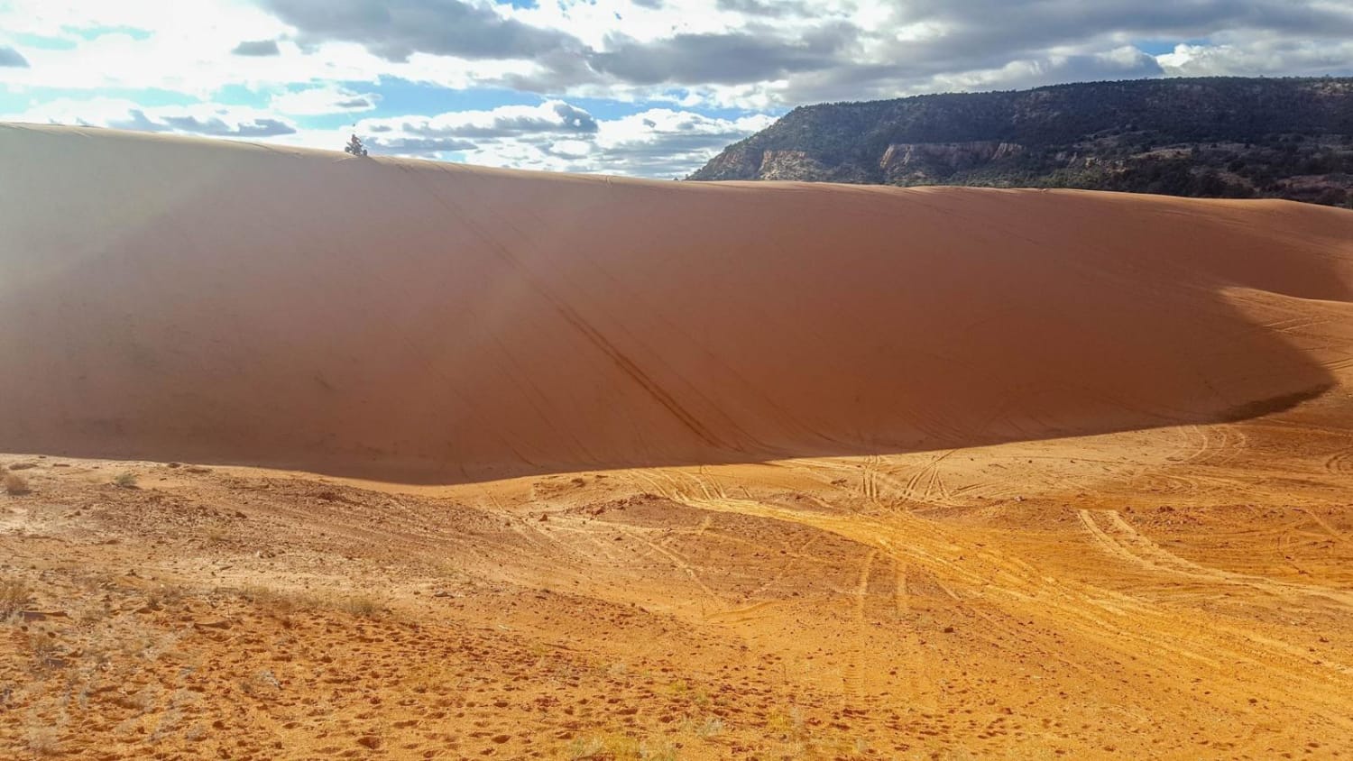
Coral Pink Sand Dunes
Total Miles
0.6
Tech Rating
Difficult
Best Time
Summer, Fall
Learn more about Cordova Canyon Overlook
Cordova Canyon Overlook
Total Miles
3.3
Tech Rating
Moderate
Best Time
Spring, Summer, Fall, Winter
Learn more about Corn Creek-Stump Springs
Corn Creek-Stump Springs
Total Miles
15.1
Tech Rating
Easy
Best Time
Spring, Summer, Fall
Learn more about Cosmic Ashtray via Harris Wash Rd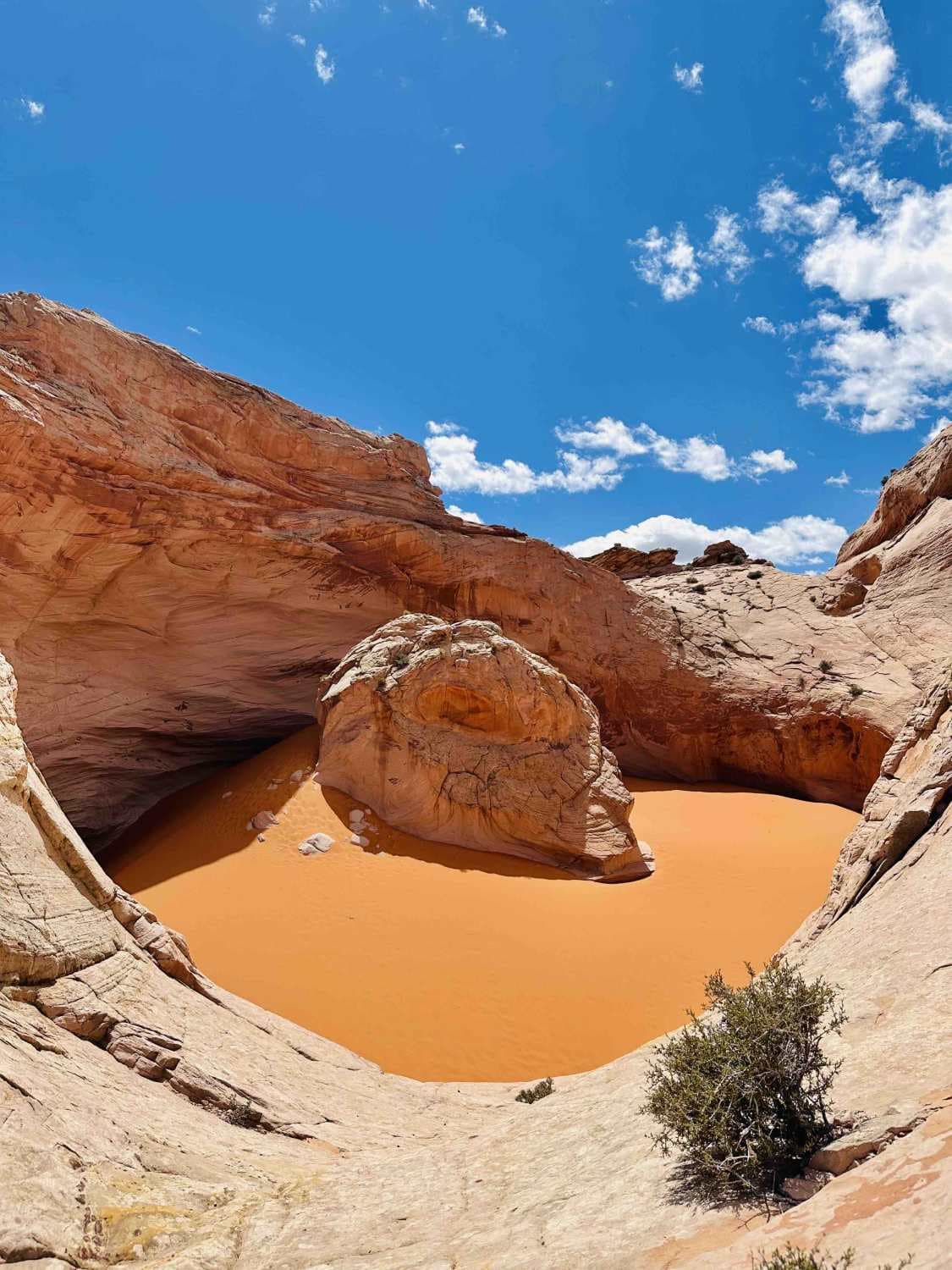
Cosmic Ashtray via Harris Wash Rd
Total Miles
10.2
Tech Rating
Easy
Best Time
Summer, Fall, Spring
Learn more about Cottonwood Canyon Overlook
Cottonwood Canyon Overlook
Total Miles
0.3
Tech Rating
Easy
Best Time
Spring, Summer, Fall
Learn more about Cottonwood Canyon Road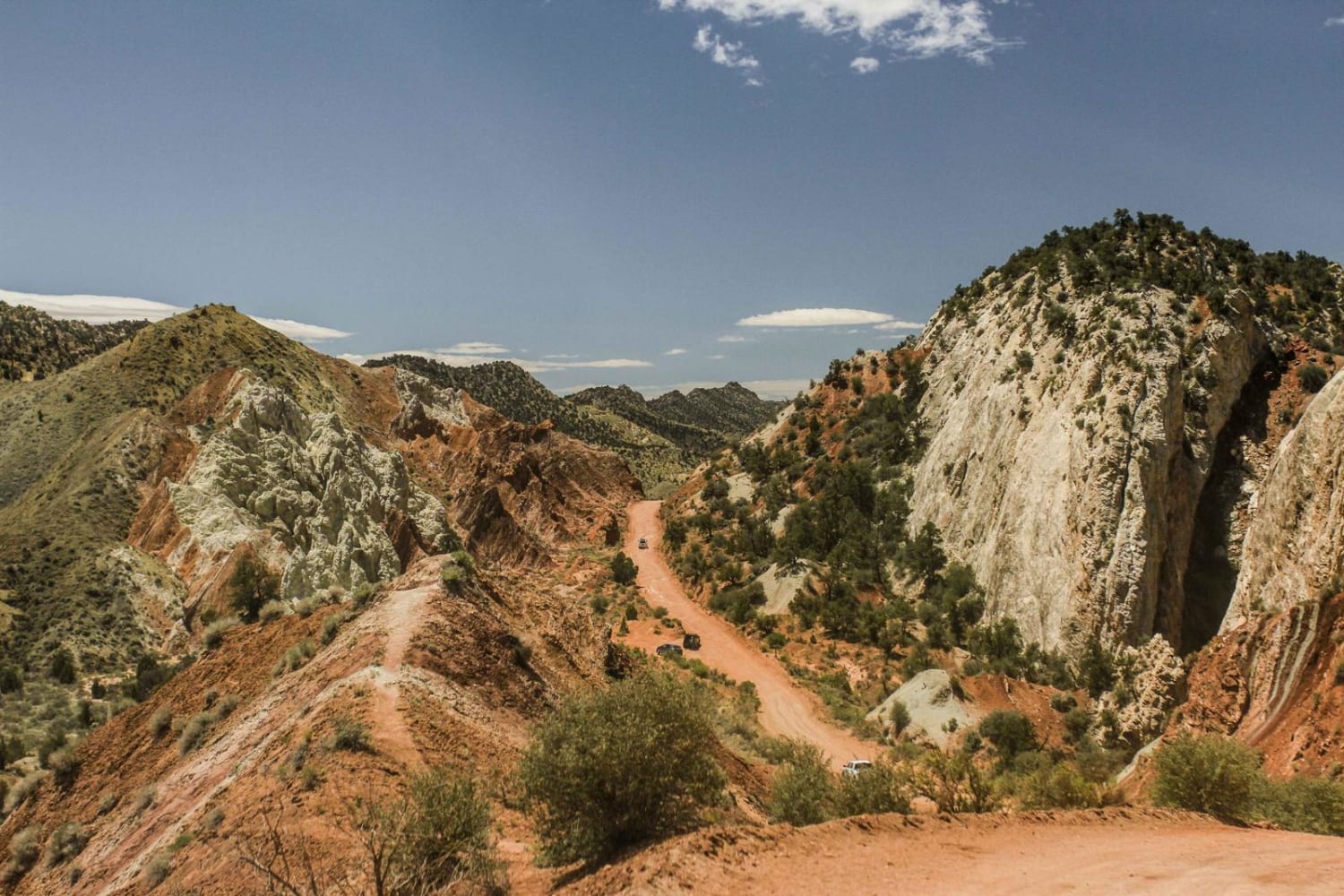
Cottonwood Canyon Road
Total Miles
38.7
Tech Rating
Easy
Best Time
Spring, Fall, Summer
Learn more about Cottonwood Creek
Cottonwood Creek
Total Miles
11.1
Tech Rating
Easy
Best Time
Spring, Summer, Fall
Learn more about Cottonwood East
Cottonwood East
Total Miles
2.6
Tech Rating
Easy
Best Time
Spring, Summer, Fall, Winter
Learn more about Cottonwood Road - Bullion Canyon Interconnect
Cottonwood Road - Bullion Canyon Interconnect
Total Miles
4.6
Tech Rating
Moderate
Best Time
Spring, Summer, Fall
Learn more about Cottonwood Second Water #018
Cottonwood Second Water #018
Total Miles
7.6
Tech Rating
Moderate
Best Time
Spring, Summer, Fall
Learn more about Cottonwood Wash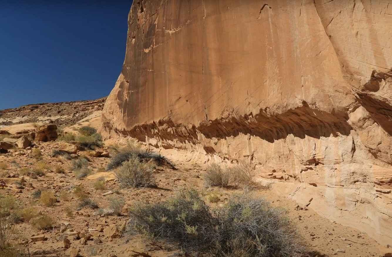
Cottonwood Wash
Total Miles
6.2
Tech Rating
Easy
Best Time
Spring, Summer, Fall, Winter
ATV trails in Utah

Learn more about 14 Mile Road
14 Mile Road
Total Miles
14.7
Tech Rating
Easy
Best Time
Spring, Summer, Fall, Winter


UTV/side-by-side trails in Utah
Learn more about 14 Mile Road
14 Mile Road
Total Miles
14.7
Tech Rating
Easy
Best Time
Spring, Summer, Fall, Winter
The onX Offroad Difference
onX Offroad combines trail photos, descriptions, difficulty ratings, width restrictions, seasonality, and more in a user-friendly interface. Available on all devices, with offline access and full compatibility with CarPlay and Android Auto. Discover what you’re missing today!