Off-Road Trails in Utah
Discover off-road trails in Utah
Learn more about Cedar Bench Trail
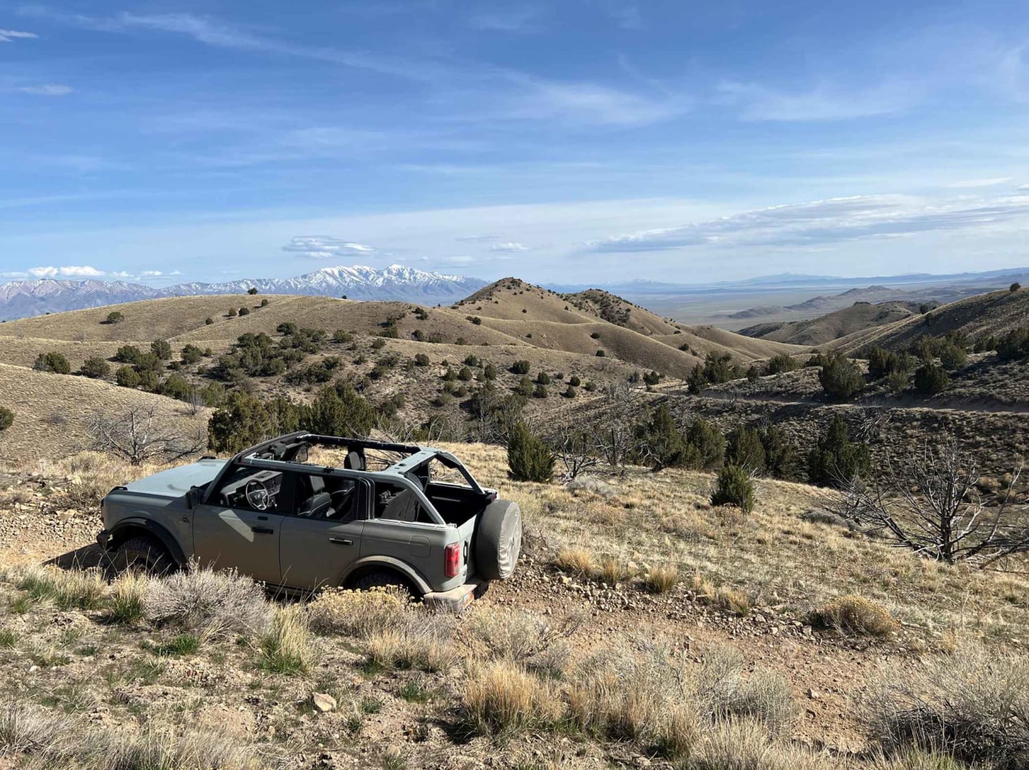
Cedar Bench Trail
Total Miles
1.1
Tech Rating
Easy
Best Time
Spring, Summer, Fall
Learn more about Cedar Hollow OHV Trail FS 80203
Cedar Hollow OHV Trail FS 80203
Total Miles
2.0
Tech Rating
Moderate
Best Time
Summer, Fall
Learn more about Cedar Hollow West 1 FS 80199
Cedar Hollow West 1 FS 80199
Total Miles
1.7
Tech Rating
Moderate
Best Time
Summer, Fall
Learn more about Cedar Mountain 
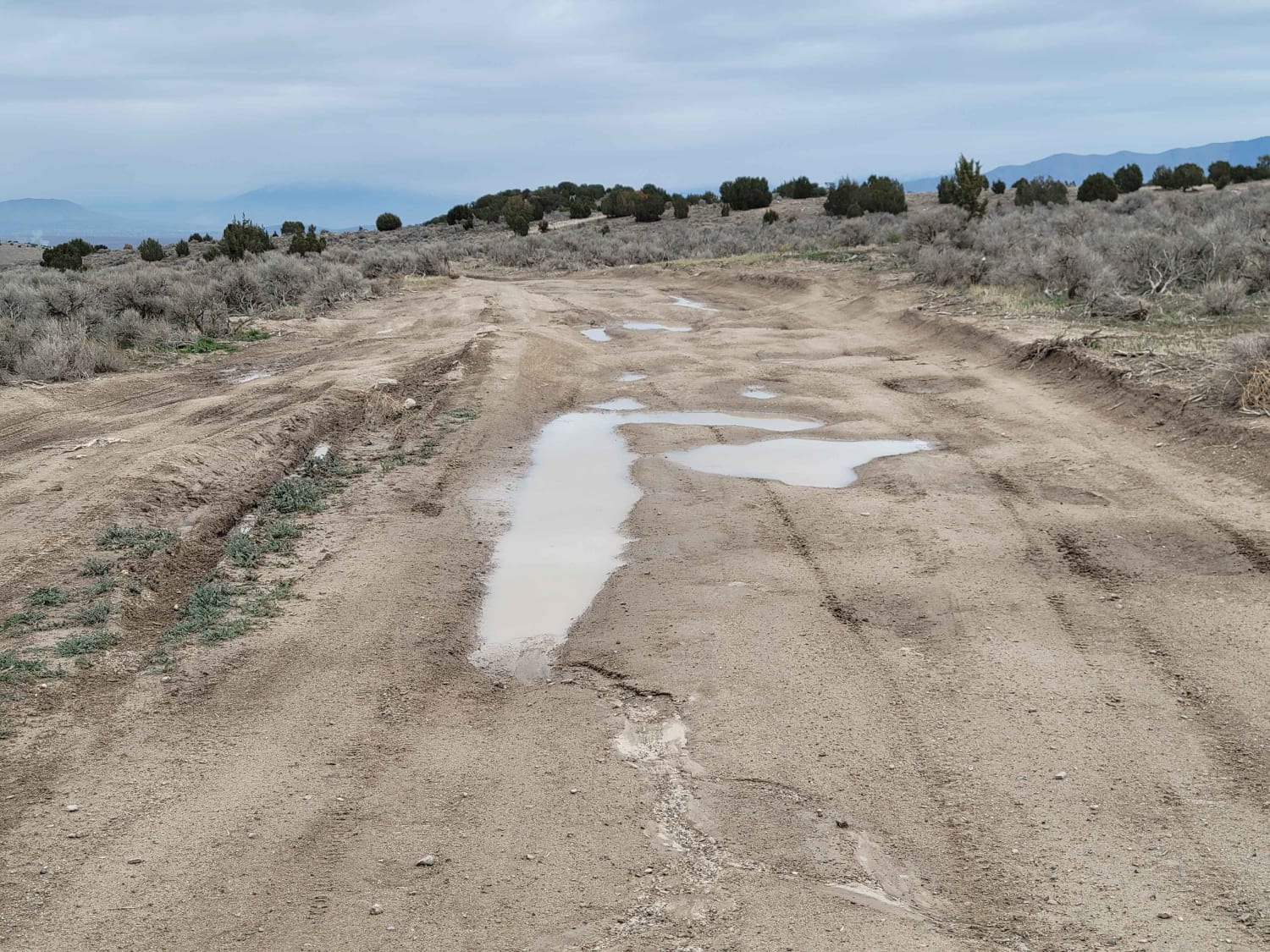
Cedar Mountain
Total Miles
2.7
Tech Rating
Moderate
Best Time
Spring, Fall, Winter
Learn more about Cedar Mountain Canyon 
Cedar Mountain Canyon
Total Miles
1.3
Tech Rating
Moderate
Best Time
Spring, Fall, Winter
Learn more about Cedar Mountain East Ridge
Cedar Mountain East Ridge
Total Miles
6.8
Tech Rating
Easy
Best Time
Fall, Summer, Spring
Learn more about Cedar Mountain Overlook Road/UT-206
Cedar Mountain Overlook Road/UT-206
Total Miles
18.0
Tech Rating
Easy
Best Time
Spring, Summer, Fall
Learn more about Cedar Mountain to Rydlach Canyon
Cedar Mountain to Rydlach Canyon
Total Miles
11.1
Tech Rating
Easy
Best Time
Spring, Summer, Fall, Winter
Learn more about Cedar Mountain West
Cedar Mountain West
Total Miles
20.8
Tech Rating
Easy
Best Time
Spring, Summer, Fall, Winter
Learn more about Cedar Ridge Climb
Cedar Ridge Climb
Total Miles
2.0
Tech Rating
Easy
Best Time
Winter, Fall, Summer, Spring
Learn more about Cedar Rocks Road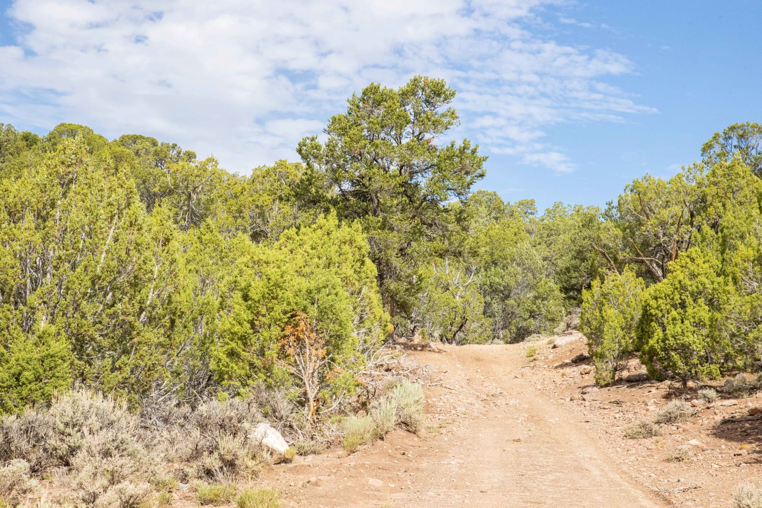
Cedar Rocks Road
Total Miles
3.1
Tech Rating
Moderate
Best Time
Fall, Summer, Spring
Learn more about Cedar Wash Road-BLM210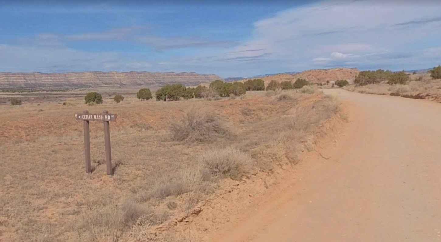
Cedar Wash Road-BLM210
Total Miles
9.9
Tech Rating
Easy
Best Time
Spring, Summer, Fall, Winter
Learn more about Cell Tower Overlook
Cell Tower Overlook
Total Miles
5.1
Tech Rating
Moderate
Best Time
Spring, Summer, Fall
Learn more about Cemetery Loop
Cemetery Loop
Total Miles
5.4
Tech Rating
Easy
Best Time
Spring, Summer, Fall
Learn more about Center Creek - Flattop (BLM 30191/30190)
Center Creek - Flattop (BLM 30191/30190)
Total Miles
6.5
Tech Rating
Easy
Best Time
Spring, Summer, Fall
Learn more about Center Creek - FR 70309
Center Creek - FR 70309
Total Miles
7.1
Tech Rating
Easy
Best Time
Summer, Fall
Learn more about Centerville Firebreak Road
Centerville Firebreak Road
Total Miles
5.4
Tech Rating
Easy
Best Time
Fall, Summer, Spring, Winter
Learn more about Centerville Offroad Bowl Lower Trail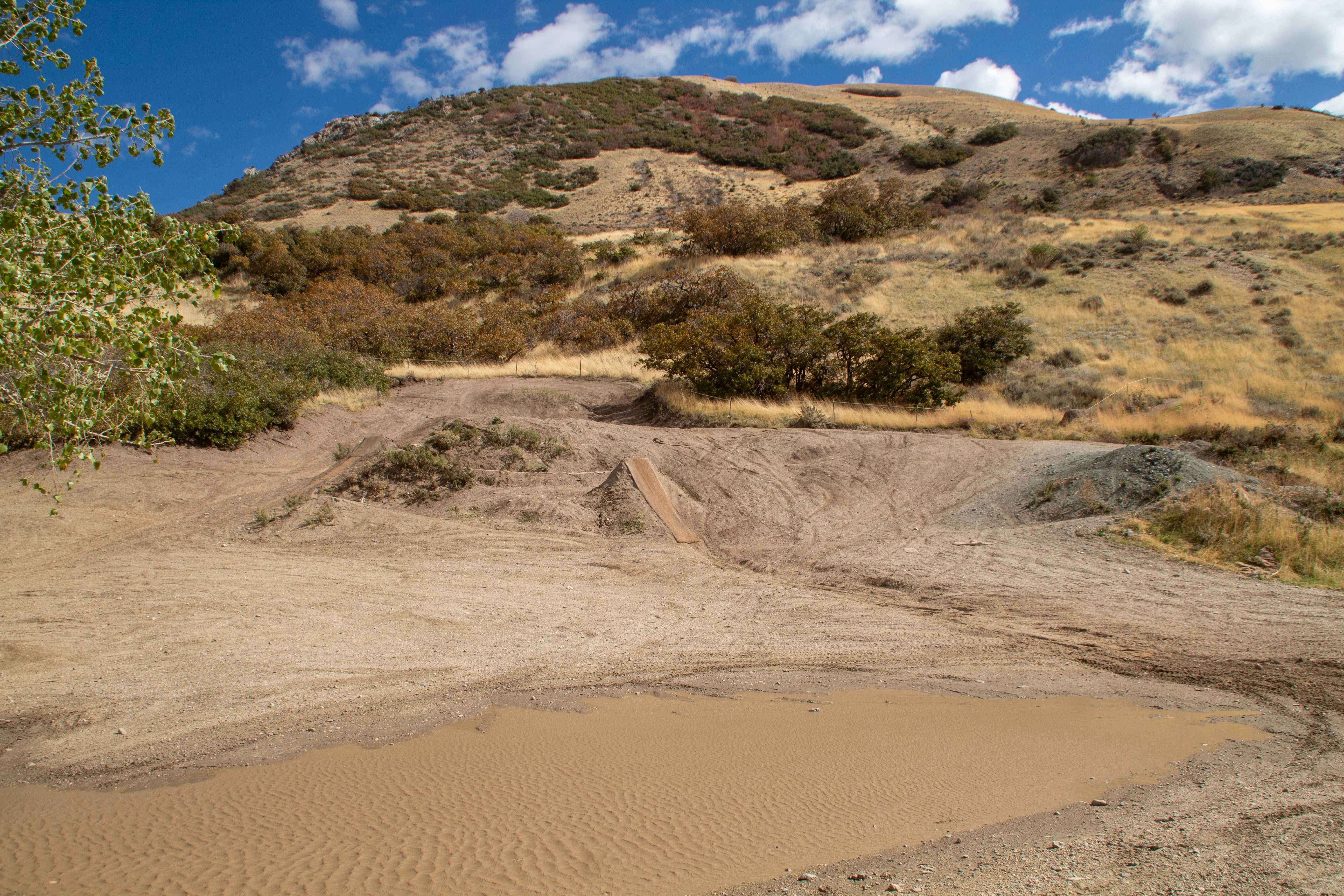
Centerville Offroad Bowl Lower Trail
Total Miles
0.6
Tech Rating
Moderate
Best Time
Spring, Summer, Fall, Winter
ATV trails in Utah

Learn more about 14 Mile Road
14 Mile Road
Total Miles
14.7
Tech Rating
Easy
Best Time
Spring, Summer, Fall, Winter


UTV/side-by-side trails in Utah
Learn more about 14 Mile Road
14 Mile Road
Total Miles
14.7
Tech Rating
Easy
Best Time
Spring, Summer, Fall, Winter
The onX Offroad Difference
onX Offroad combines trail photos, descriptions, difficulty ratings, width restrictions, seasonality, and more in a user-friendly interface. Available on all devices, with offline access and full compatibility with CarPlay and Android Auto. Discover what you’re missing today!