Off-Road Trails in Utah
Discover off-road trails in Utah
Learn more about Coal Wash North
Coal Wash North
Total Miles
3.7
Tech Rating
Easy
Best Time
Spring, Summer, Fall
Learn more about Cobra Arch and Middle Route to Buckskin Gulch
Cobra Arch and Middle Route to Buckskin Gulch
Total Miles
7.8
Tech Rating
Easy
Best Time
Spring, Summer, Fall, Winter
Learn more about Cockscomb Black Table Road
Cockscomb Black Table Road
Total Miles
8.3
Tech Rating
Easy
Best Time
Spring, Summer, Fall
Learn more about Coldwater Peak (6087)
Coldwater Peak (6087)
Total Miles
0.5
Tech Rating
Easy
Best Time
Fall, Summer
Learn more about Colie Flat-FR30003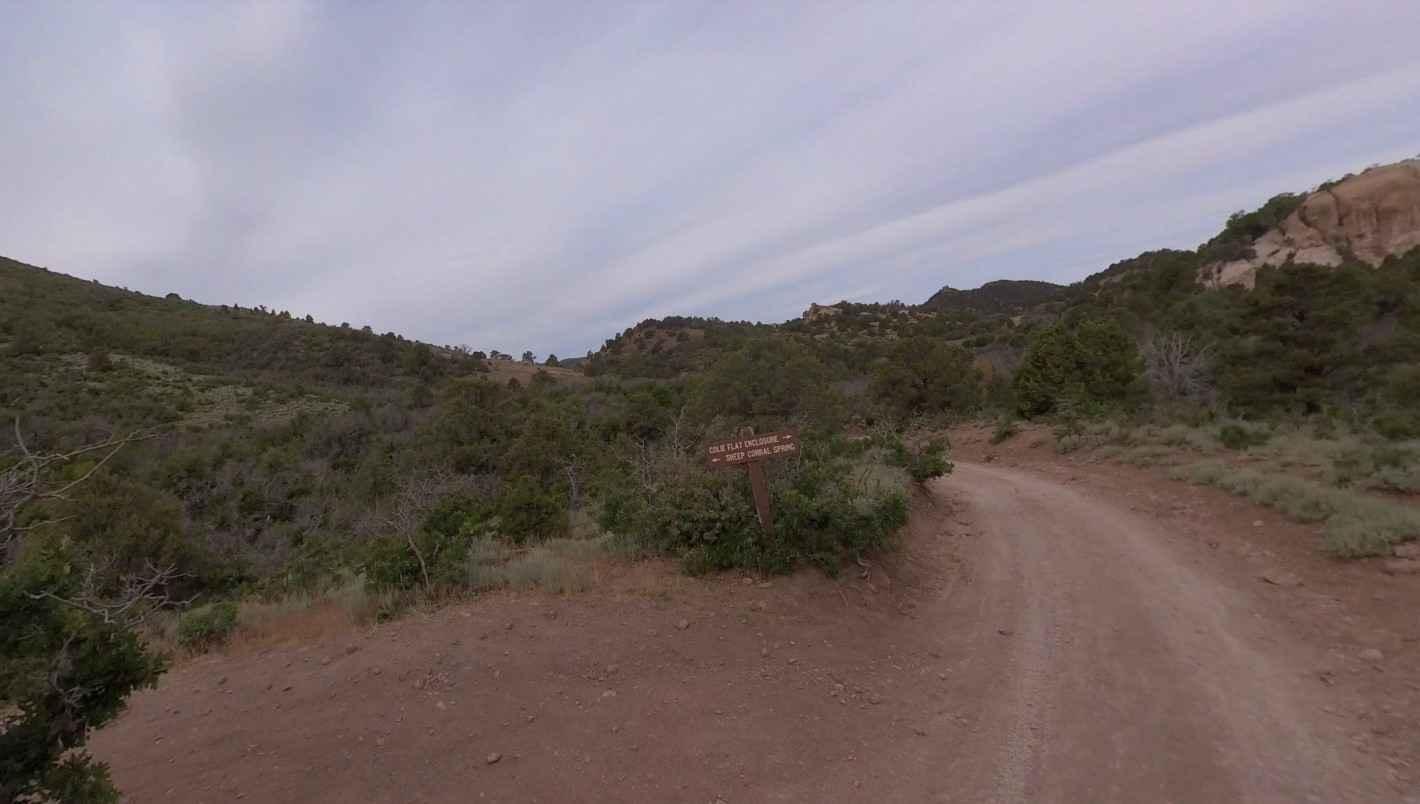
Colie Flat-FR30003
Total Miles
18.6
Tech Rating
Easy
Best Time
Spring, Summer, Fall, Winter
Learn more about Color Country North Hills Segment Trail 6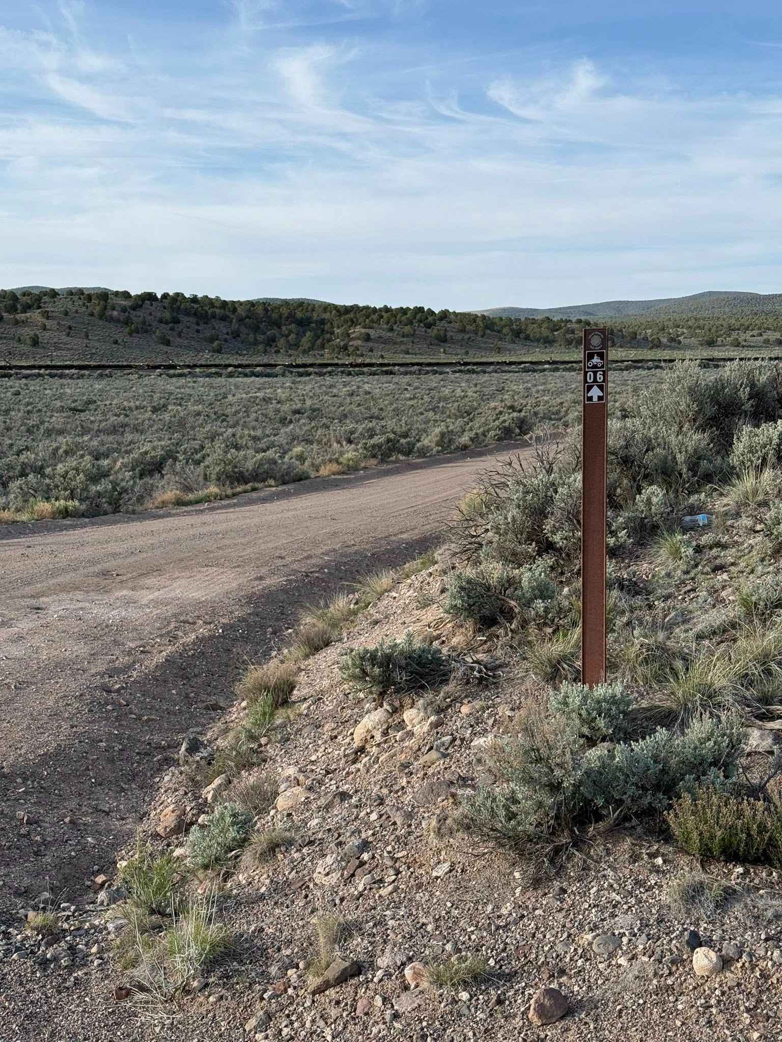
Color Country North Hills Segment Trail 6
Total Miles
5.2
Tech Rating
Easy
Best Time
Spring, Fall
Learn more about Color Country Trail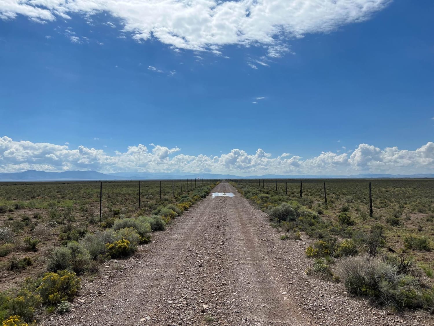
Color Country Trail
Total Miles
19.0
Tech Rating
Easy
Best Time
Spring, Summer, Fall, Winter
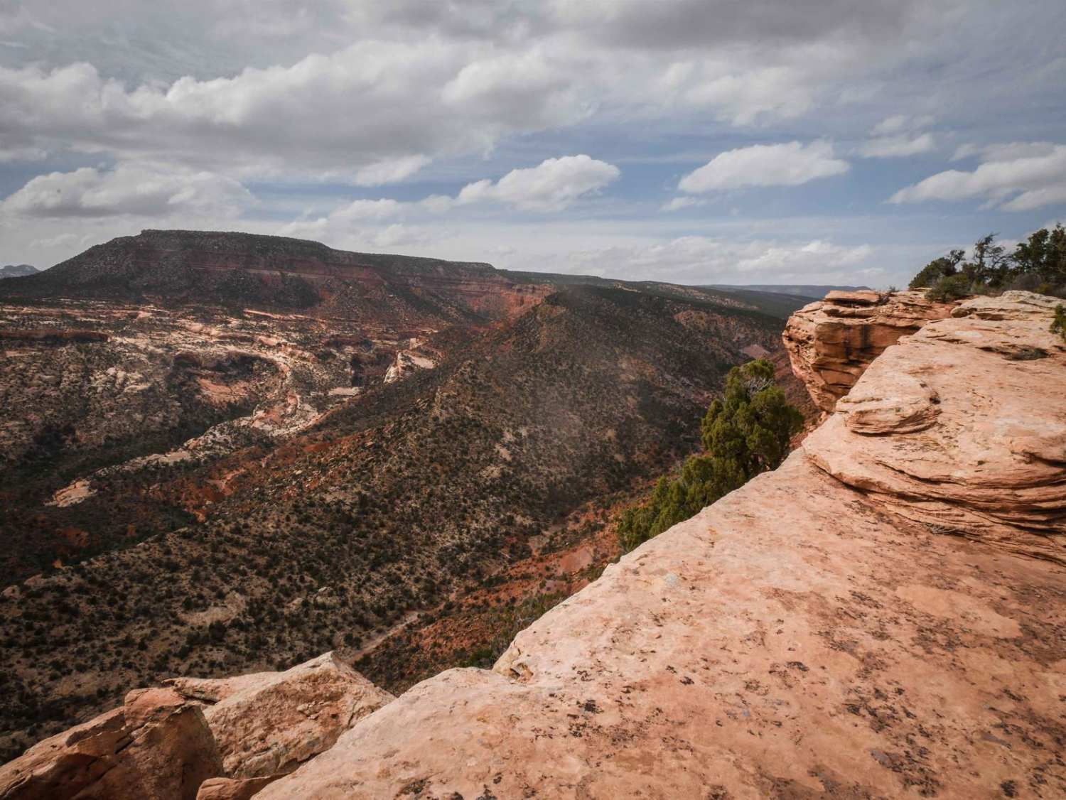
Learn more about Colorado River Overlook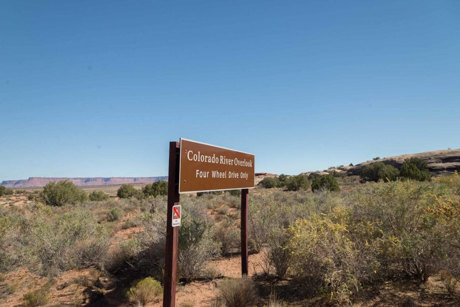
Colorado River Overlook
Total Miles
7.3
Tech Rating
Moderate
Best Time
Spring, Summer, Fall
Learn more about Comb Ridge
Comb Ridge
Total Miles
5.5
Tech Rating
Easy
Best Time
Spring, Summer, Fall, Winter
Learn more about Comb Ridge Descent
Comb Ridge Descent
Total Miles
5.0
Tech Rating
Moderate
Best Time
Fall, Spring
Learn more about Comb Wash Cave Road
Comb Wash Cave Road
Total Miles
2.0
Tech Rating
Moderate
Best Time
Spring, Fall
Learn more about Comb Wash Road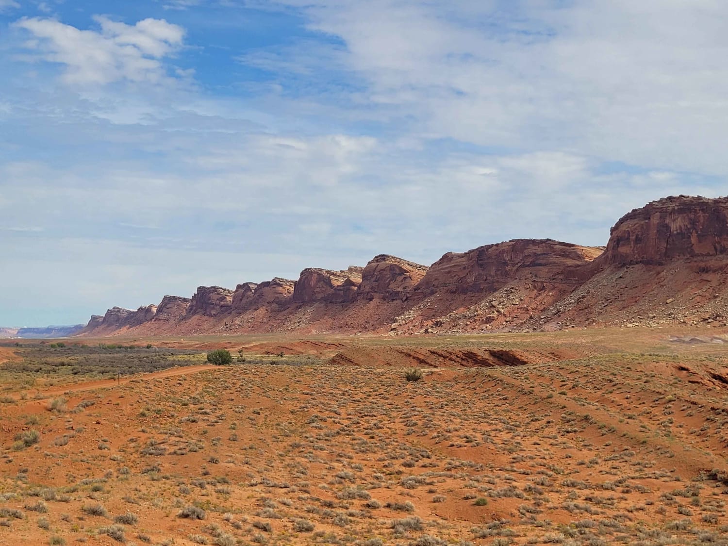
Comb Wash Road
Total Miles
18.3
Tech Rating
Easy
Best Time
Spring, Summer, Fall, Winter
Learn more about Confluence Overlook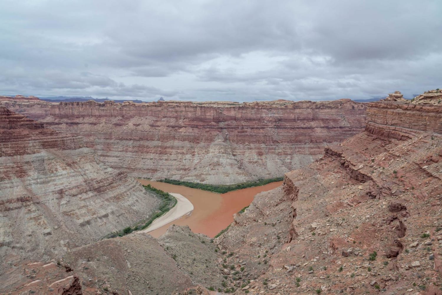
Confluence Overlook
Total Miles
5.2
Tech Rating
Moderate
Best Time
Summer, Fall
Learn more about Conger Mountain OHV Route 1
Conger Mountain OHV Route 1
Total Miles
54.1
Tech Rating
Easy
Best Time
Spring, Summer, Fall, Winter
Learn more about Conger Mountain OHV Route 2
Conger Mountain OHV Route 2
Total Miles
4.5
Tech Rating
Easy
Best Time
Spring, Summer, Fall, Winter
Learn more about Conger Mountain OHV Route 3
Conger Mountain OHV Route 3
Total Miles
8.5
Tech Rating
Easy
Best Time
Spring, Summer, Fall, Winter
Learn more about Conger Mountain OHV Route 5
Conger Mountain OHV Route 5
Total Miles
14.7
Tech Rating
Easy
Best Time
Spring, Summer, Fall, Winter
ATV trails in Utah

Learn more about 14 Mile Road
14 Mile Road
Total Miles
14.7
Tech Rating
Easy
Best Time
Spring, Summer, Fall, Winter


UTV/side-by-side trails in Utah
Learn more about 14 Mile Road
14 Mile Road
Total Miles
14.7
Tech Rating
Easy
Best Time
Spring, Summer, Fall, Winter
The onX Offroad Difference
onX Offroad combines trail photos, descriptions, difficulty ratings, width restrictions, seasonality, and more in a user-friendly interface. Available on all devices, with offline access and full compatibility with CarPlay and Android Auto. Discover what you’re missing today!