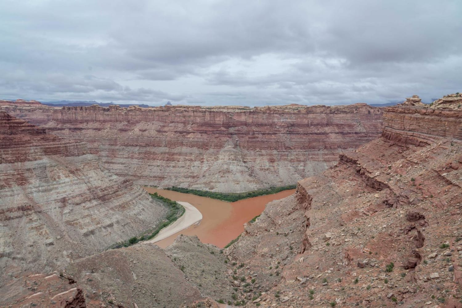
Confluence Overlook
Total Miles
5.2
Technical Rating
Best Time
Summer, Fall
Trail Type
Full-Width Road
Accessible By
Trail Overview
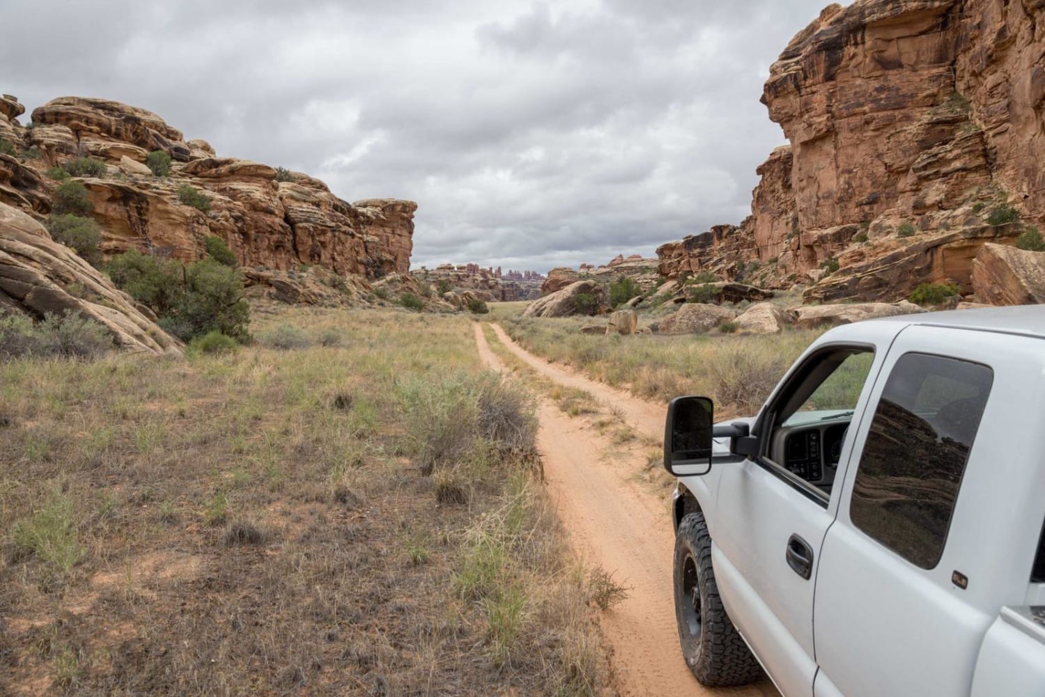
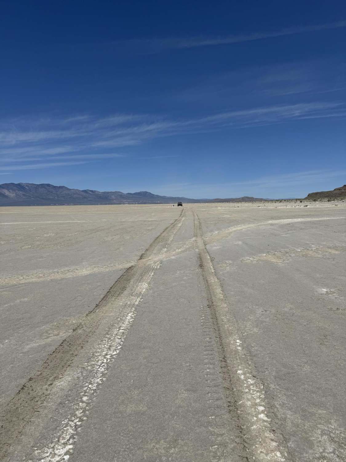
The Confluence Overlook is one of the prettiest spots in Canyonlands. The drive goes between Devil's Kitchen Campground and the Confluence trailhead where you can take a short hike to a very high overlook a thousand feet above the confluence of the Green and Colorado Rivers. Open to most street-legal vehicles and dirt bikes. No ATVs or UTVs even if they are street legal.
Photos of Confluence Overlook
Status Reports
Confluence Overlook can be accessed by the following ride types:
- High-Clearance 4x4
- SUV
- Dirt Bike
Confluence Overlook Map
Popular Trails
Mary Ellen Gulch
Little Drum Pass

Hog Canyon 2 - Antenna Hill (BLM HC2)
West Crater Island
The onX Offroad Difference
onX Offroad combines trail photos, descriptions, difficulty ratings, width restrictions, seasonality, and more in a user-friendly interface. Available on all devices, with offline access and full compatibility with CarPlay and Android Auto. Discover what you’re missing today!