Off-Road Trails in Utah
Discover off-road trails in Utah
Learn more about Cottonwood-Bullion Interconnect Trail to Hwy 89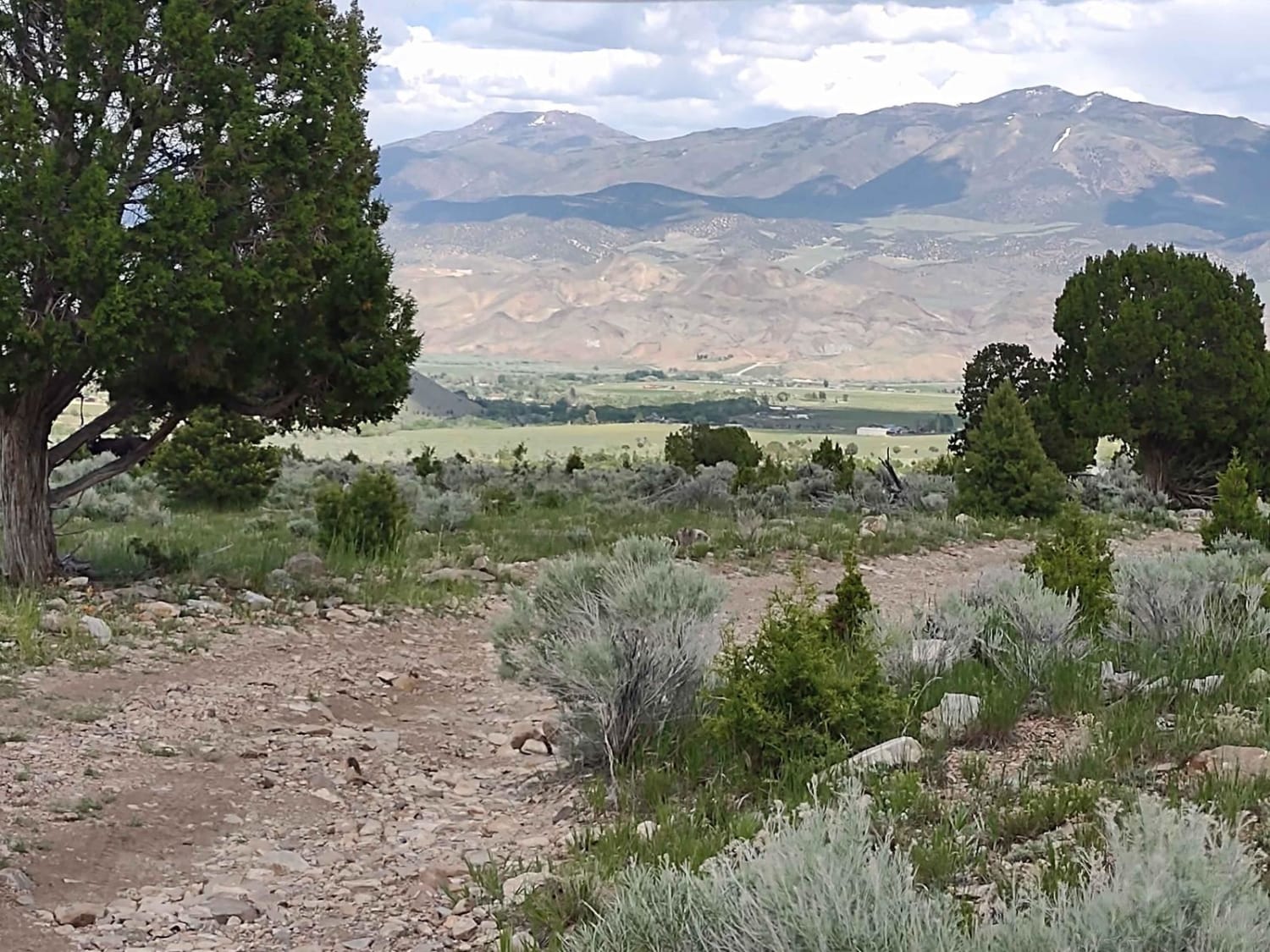
Cottonwood-Bullion Interconnect Trail to Hwy 89
Total Miles
3.3
Tech Rating
Easy
Best Time
Spring, Summer, Fall
Learn more about County Road 118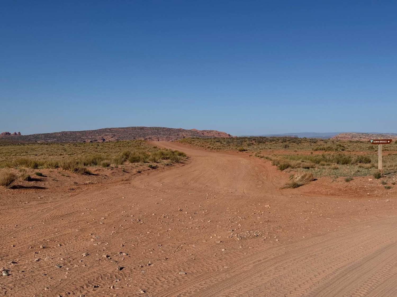
County Road 118
Total Miles
2.1
Tech Rating
Easy
Best Time
Spring, Summer, Fall
Learn more about County Road 1345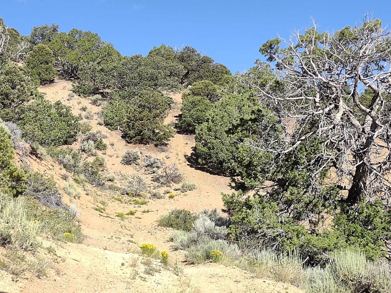
County Road 1345
Total Miles
1.6
Tech Rating
Easy
Best Time
Spring, Summer, Fall
Learn more about County Road 166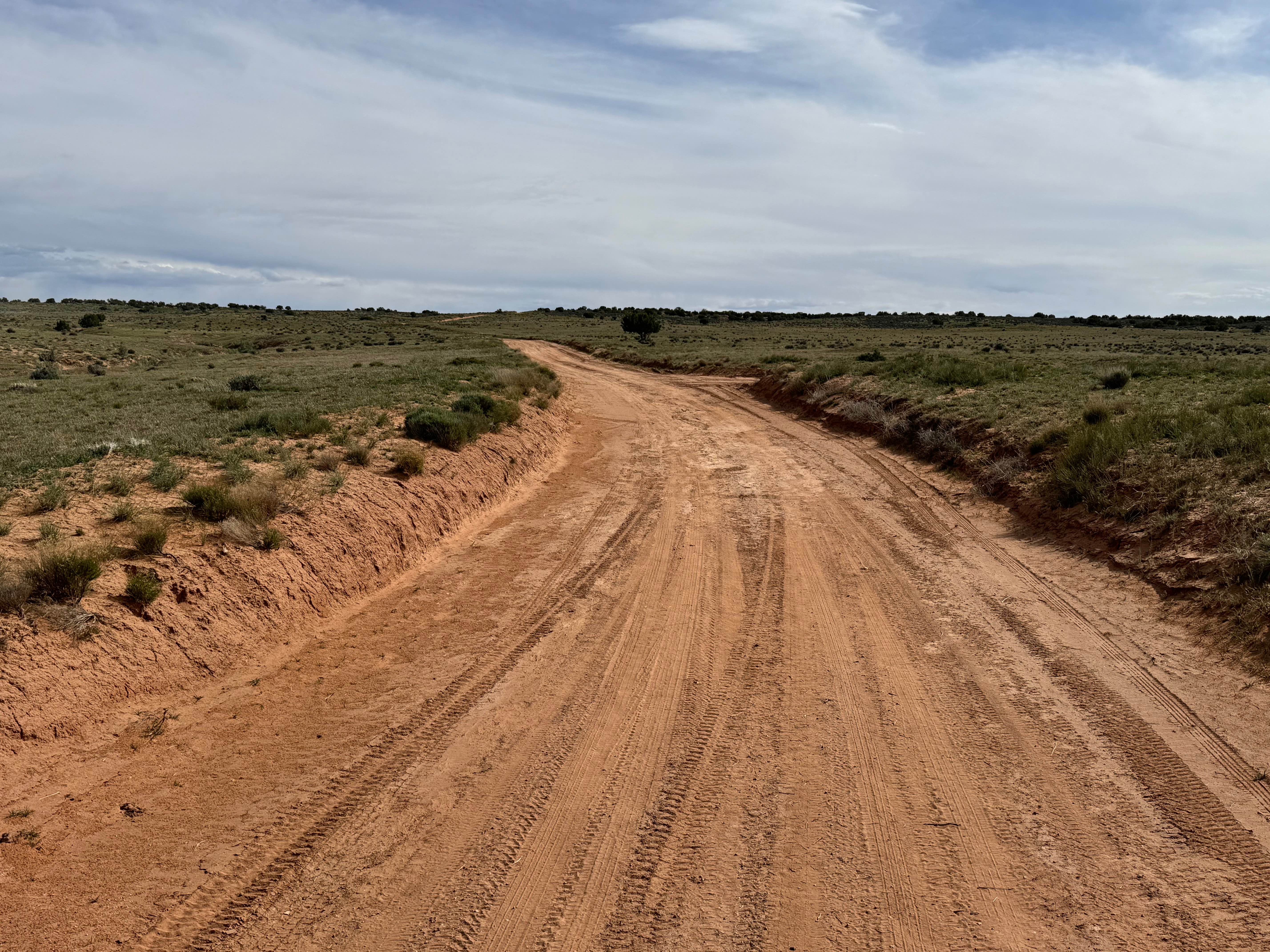
County Road 166
Total Miles
2.6
Tech Rating
Easy
Best Time
Spring, Summer, Fall, Winter
Learn more about County Road 1936
County Road 1936
Total Miles
1.2
Tech Rating
Easy
Best Time
Spring, Summer, Fall
Learn more about County Road 3417
County Road 3417
Total Miles
2.8
Tech Rating
Easy
Best Time
Spring, Summer, Fall, Winter
Learn more about Cove Fort-Dry Creek/PST76
Cove Fort-Dry Creek/PST76
Total Miles
9.1
Tech Rating
Easy
Best Time
Spring, Fall, Summer
Learn more about Cove Mountain Road (FS# 40068)
Cove Mountain Road (FS# 40068)
Total Miles
12.1
Tech Rating
Easy
Best Time
Spring, Summer, Fall
Learn more about Cove Mountain Road South
Cove Mountain Road South
Total Miles
1.6
Tech Rating
Easy
Best Time
Spring, Summer, Fall
Learn more about Cove Wash To Magotsu Creek
Cove Wash To Magotsu Creek
Total Miles
4.5
Tech Rating
Moderate
Best Time
Fall, Spring
Learn more about Cow Connector
Cow Connector
Total Miles
0.9
Tech Rating
Easy
Best Time
Winter, Summer, Fall, Spring
Learn more about Cow Dung Road
Cow Dung Road
Total Miles
7.3
Tech Rating
Easy
Best Time
Winter, Fall, Summer, Spring
Learn more about Cow Freckles 
Cow Freckles
Total Miles
3.7
Tech Rating
Moderate
Best Time
Winter, Fall, Spring
Learn more about Cow Path - FS40965/FS41671
Cow Path - FS40965/FS41671
Total Miles
3.2
Tech Rating
Easy
Best Time
Spring, Summer, Fall
Learn more about Cowboy Camp Road
Cowboy Camp Road
Total Miles
4.5
Tech Rating
Moderate
Best Time
Fall, Summer, Spring
Learn more about Cowley Canyon-Herd Hollow - FS 20047
Cowley Canyon-Herd Hollow - FS 20047
Total Miles
5.0
Tech Rating
Easy
Best Time
Spring, Summer, Fall
Learn more about Coyote Gulch
Coyote Gulch
Total Miles
2.8
Tech Rating
Moderate
Best Time
Spring, Summer, Fall, Winter
ATV trails in Utah

Learn more about 14 Mile Road
14 Mile Road
Total Miles
14.7
Tech Rating
Easy
Best Time
Spring, Summer, Fall, Winter


UTV/side-by-side trails in Utah
Learn more about 14 Mile Road
14 Mile Road
Total Miles
14.7
Tech Rating
Easy
Best Time
Spring, Summer, Fall, Winter
The onX Offroad Difference
onX Offroad combines trail photos, descriptions, difficulty ratings, width restrictions, seasonality, and more in a user-friendly interface. Available on all devices, with offline access and full compatibility with CarPlay and Android Auto. Discover what you’re missing today!