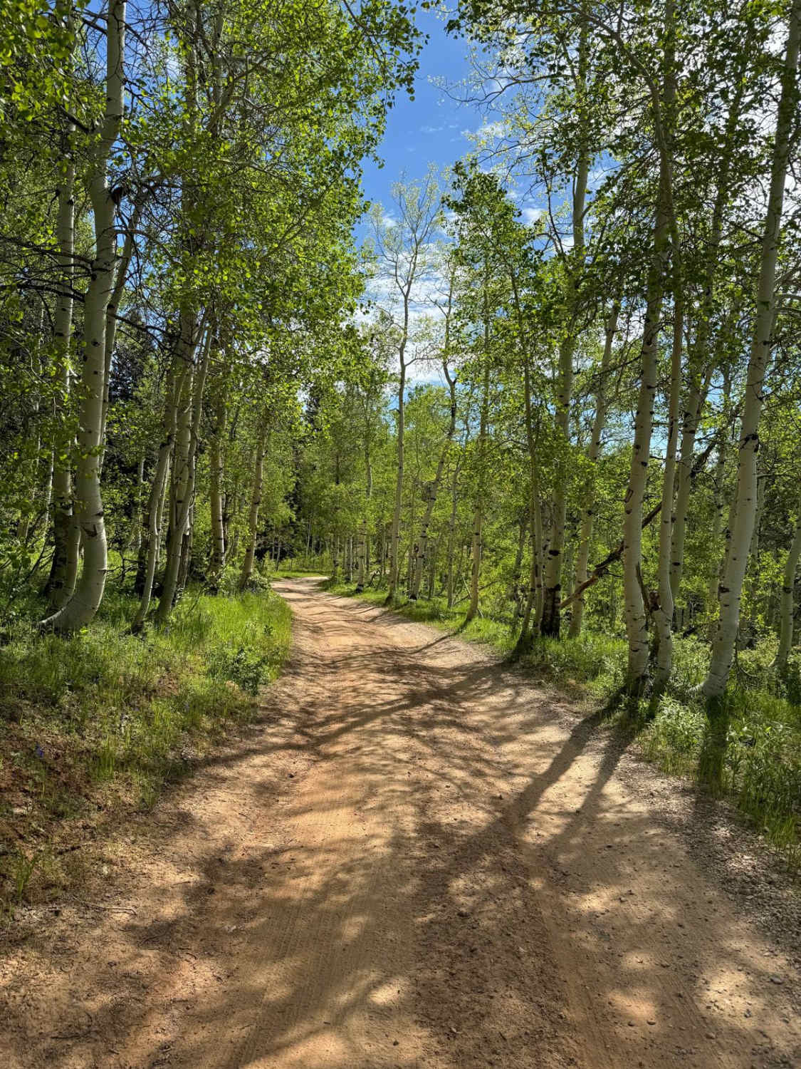
Off-Road Trails in Utah
Discover off-road trails in Utah
Learn more about Dairy Fork - FS 50006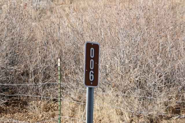
Dairy Fork - FS 50006
Total Miles
8.4
Tech Rating
Easy
Best Time
Spring, Summer, Fall
Learn more about Dairy Hollow ATV Trail
Dairy Hollow ATV Trail
Total Miles
3.9
Tech Rating
Easy
Best Time
Spring, Summer, Fall
Learn more about Dalton Wash Road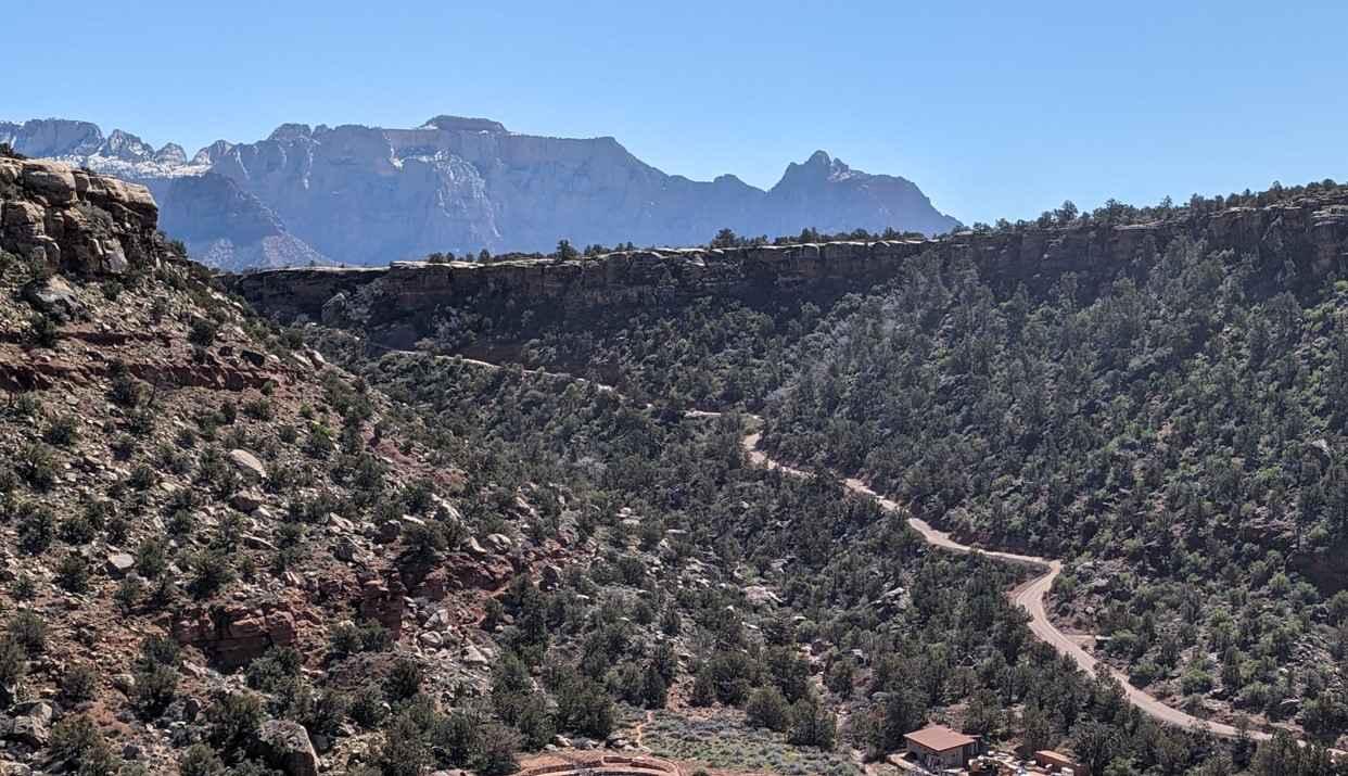
Dalton Wash Road
Total Miles
4.2
Tech Rating
Easy
Best Time
Spring, Summer, Fall
Learn more about Dandelion Flat
Dandelion Flat
Total Miles
1.3
Tech Rating
Easy
Best Time
Fall, Summer, Spring
Learn more about Danish Meadows Trail
Danish Meadows Trail
Total Miles
8.6
Tech Rating
Moderate
Best Time
Spring, Summer, Fall
Learn more about Dave's Hollow - BLM30088
Dave's Hollow - BLM30088
Total Miles
9.9
Tech Rating
Easy
Best Time
Spring, Summer, Fall
Learn more about Dave's Hollow Cutoff
Dave's Hollow Cutoff
Total Miles
4.9
Tech Rating
Easy
Best Time
Spring, Summer, Fall
Learn more about Davenport Hollow Road
Davenport Hollow Road
Total Miles
3.6
Tech Rating
Easy
Best Time
Summer, Fall
Learn more about Davis Hollow Overlook - FS 42115
Davis Hollow Overlook - FS 42115
Total Miles
1.0
Tech Rating
Easy
Best Time
Spring, Summer, Fall
Learn more about Davis Mountain Loop
Davis Mountain Loop
Total Miles
13.1
Tech Rating
Easy
Best Time
Summer, Fall, Spring
Learn more about Davis Mountain Pass
Davis Mountain Pass
Total Miles
3.1
Tech Rating
Easy
Best Time
Summer, Spring, Fall
Learn more about De Gamma Road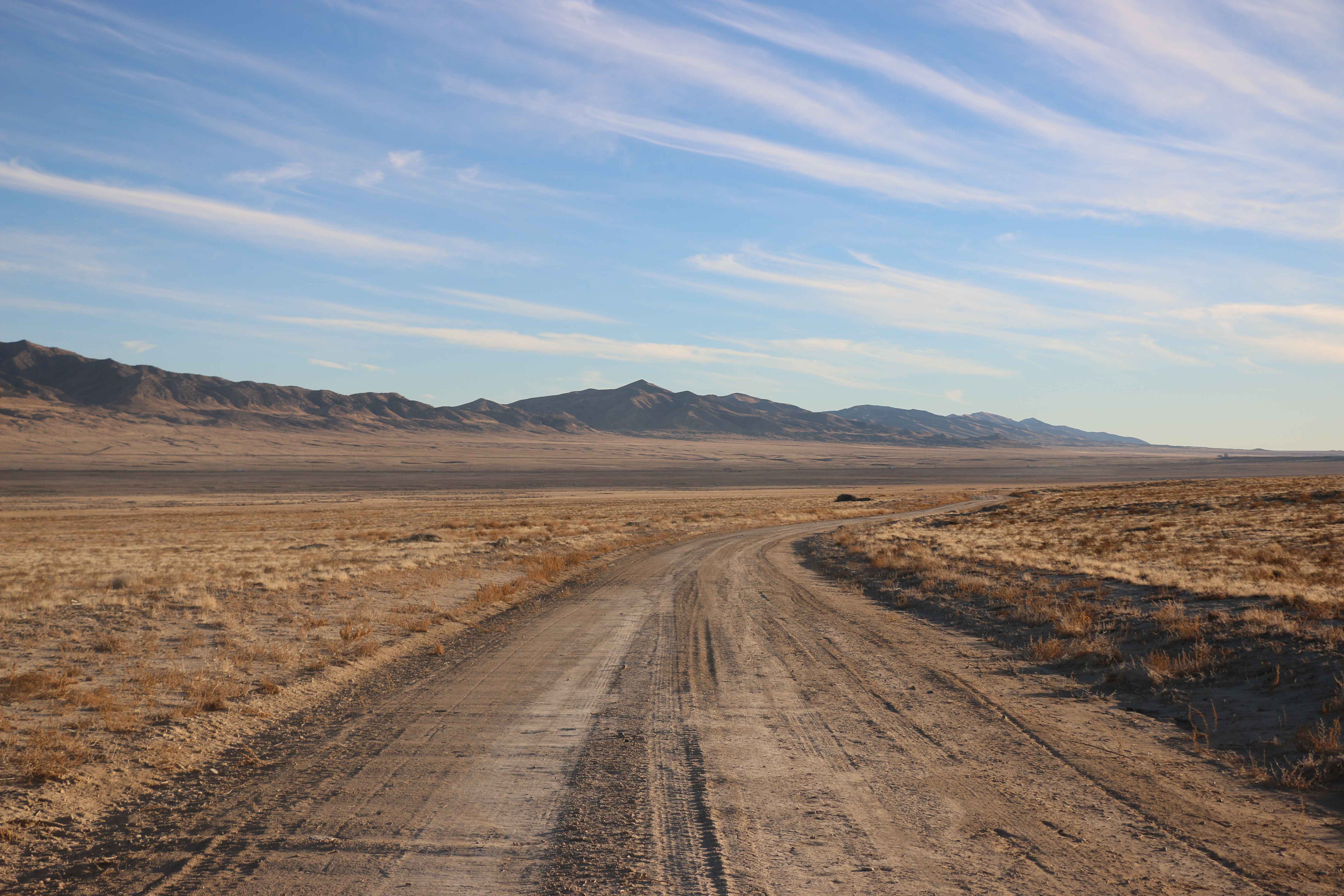
De Gamma Road
Total Miles
2.0
Tech Rating
Easy
Best Time
Spring, Summer, Fall
Learn more about Dead Broke
Dead Broke
Total Miles
1.1
Tech Rating
Difficult
Best Time
Spring, Summer, Fall, Winter
Learn more about Dead End at Bowler Ranch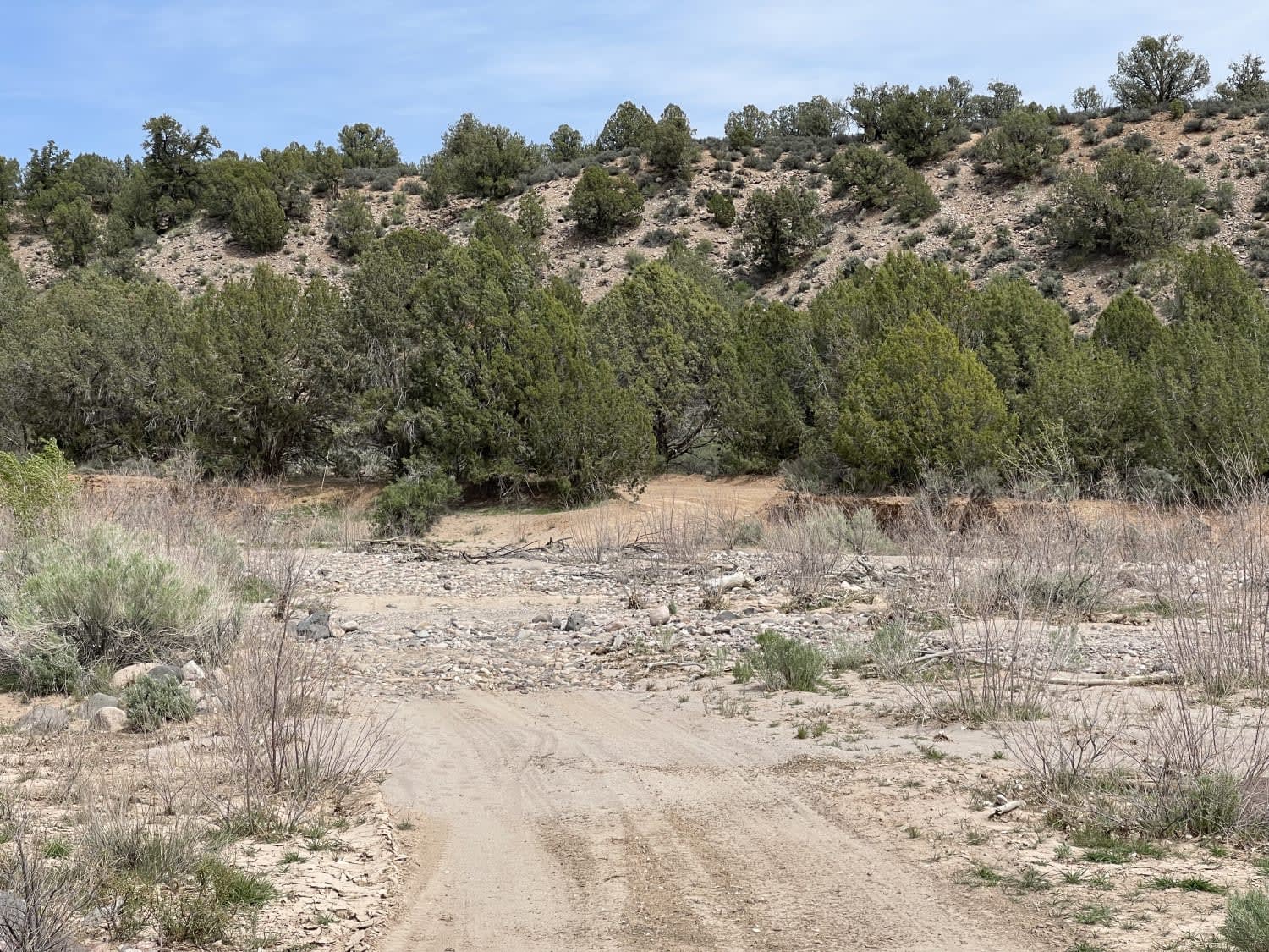
Dead End at Bowler Ranch
Total Miles
1.8
Tech Rating
Easy
Best Time
Fall, Spring
Learn more about Dead End Leeds Overlook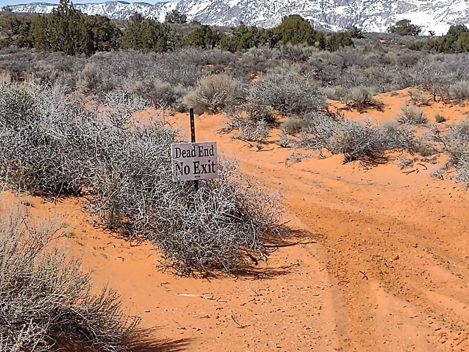
Dead End Leeds Overlook
Total Miles
0.8
Tech Rating
Easy
Best Time
Spring, Summer, Fall, Winter
Learn more about Dead End Overview
Dead End Overview
Total Miles
4.7
Tech Rating
Easy
Best Time
Spring, Summer, Fall
Learn more about Dead End Pass
Dead End Pass
Total Miles
0.9
Tech Rating
Easy
Best Time
Fall, Summer, Spring, Winter
Learn more about Deadman Canyon Loop
Deadman Canyon Loop
Total Miles
7.3
Tech Rating
Moderate
Best Time
Spring, Fall, Summer
ATV trails in Utah

Learn more about 14 Mile Road
14 Mile Road
Total Miles
14.7
Tech Rating
Easy
Best Time
Spring, Summer, Fall, Winter


UTV/side-by-side trails in Utah
Learn more about 14 Mile Road
14 Mile Road
Total Miles
14.7
Tech Rating
Easy
Best Time
Spring, Summer, Fall, Winter
The onX Offroad Difference
onX Offroad combines trail photos, descriptions, difficulty ratings, width restrictions, seasonality, and more in a user-friendly interface. Available on all devices, with offline access and full compatibility with CarPlay and Android Auto. Discover what you’re missing today!