Dead End Spur
Total Miles
2.7
Technical Rating
Best Time
Spring, Fall
Trail Type
High-Clearance 4x4 Trail
Accessible By
Trail Overview
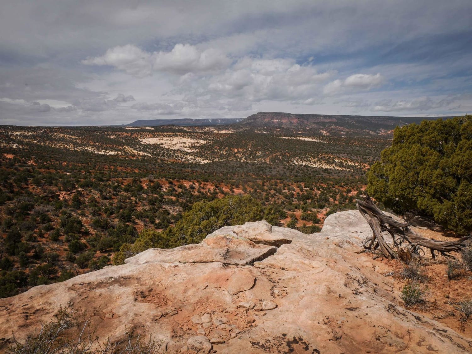
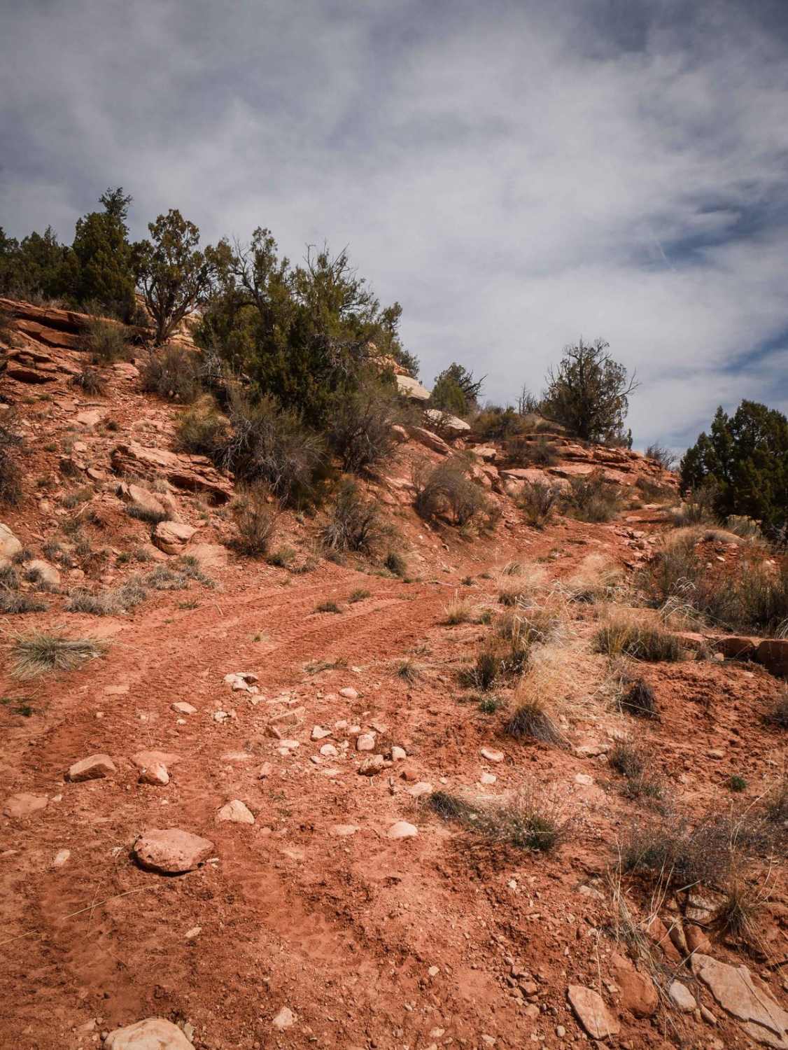
This is a 3-mile spur off of Shumway Mines that heads west into the Cheese and Raisins Hills and dead-ends at nowhere in particular. This trail is most likely used for hunting access or just exploring on OHVs. Although it dead-ends and has to be ridden as an out-and-back, it does have some nice views along the route out toward the Abajo Mountains and the surrounding mesas. Part of it is a shelfy narrow Jeep trail with embedded rock slab, loose rocks, ruts, ravine crossings, and uneven ground. It has small hill climbs and goes around cool desert mesas with rocky cliff layers. Some sections are more faint, but there are still enough tracks to follow. The shelfy sections elevated above the valley have cool views on the rim of the mesa. There are spots between the bushes that could be narrow for conventional 4x4 vehicles. The trail is most likely ridden mostly by UTVs/ATVs.
Photos of Dead End Spur
Difficulty
This is an easy 4x4 trail that is rated a 3 difficulty for narrow sections and shelfy rocky sections, but it doesn't have any big obstacles.
Status Reports
Dead End Spur can be accessed by the following ride types:
- High-Clearance 4x4
- SxS (60")
- ATV (50")
- Dirt Bike
Dead End Spur Map
Popular Trails
Pahvant Butte Loop
Cricket Mountain OHV Route 2
The onX Offroad Difference
onX Offroad combines trail photos, descriptions, difficulty ratings, width restrictions, seasonality, and more in a user-friendly interface. Available on all devices, with offline access and full compatibility with CarPlay and Android Auto. Discover what you’re missing today!
