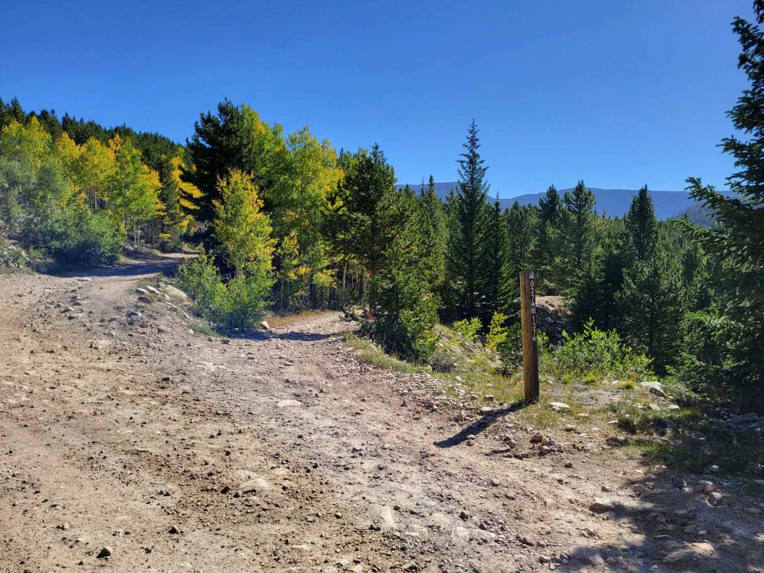
Off-Road Trails in Utah
Discover off-road trails in Utah
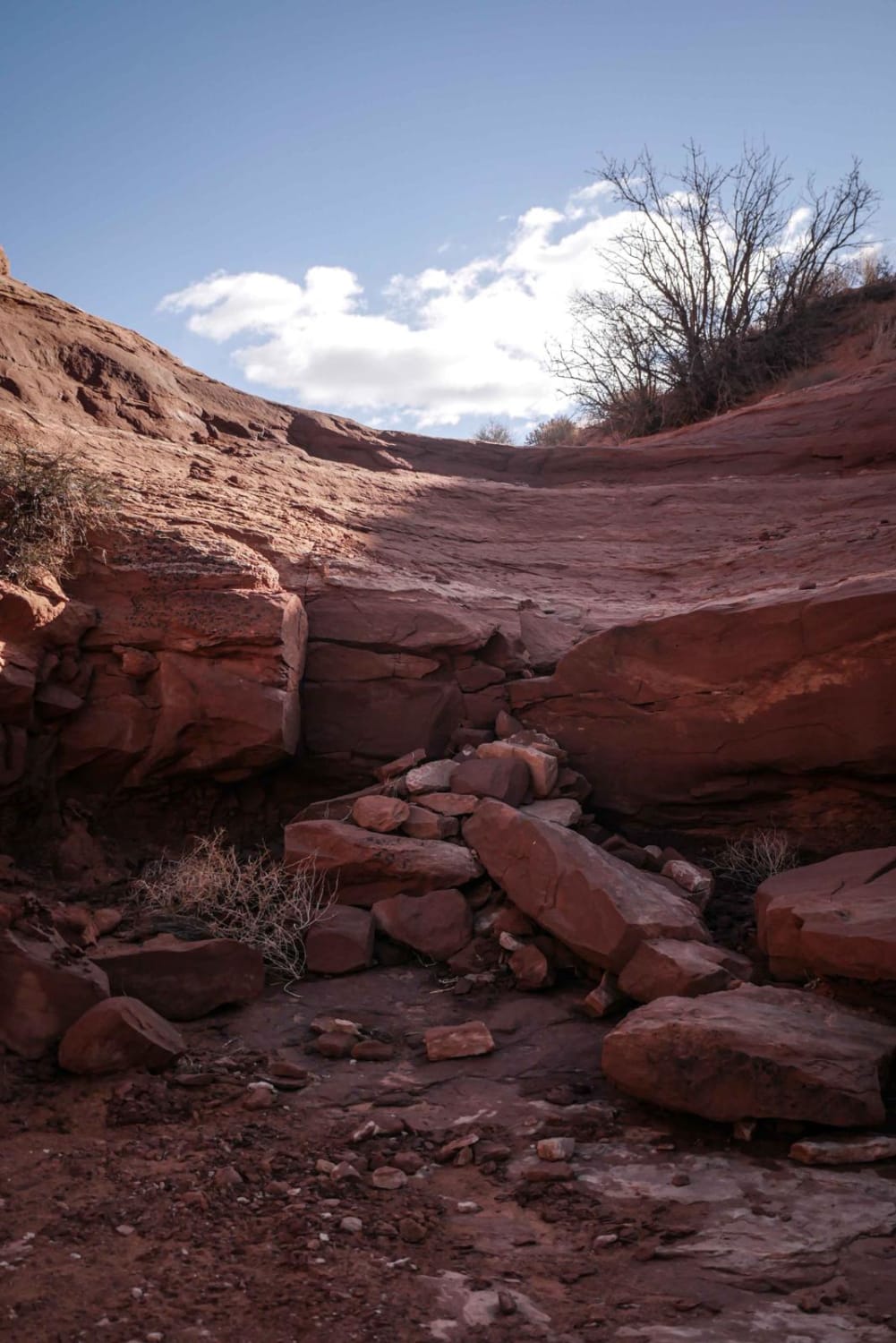
Learn more about Eagle Canyon-BLM820
Eagle Canyon-BLM820
Total Miles
6.3
Tech Rating
Easy
Best Time
Spring, Summer, Fall, Winter
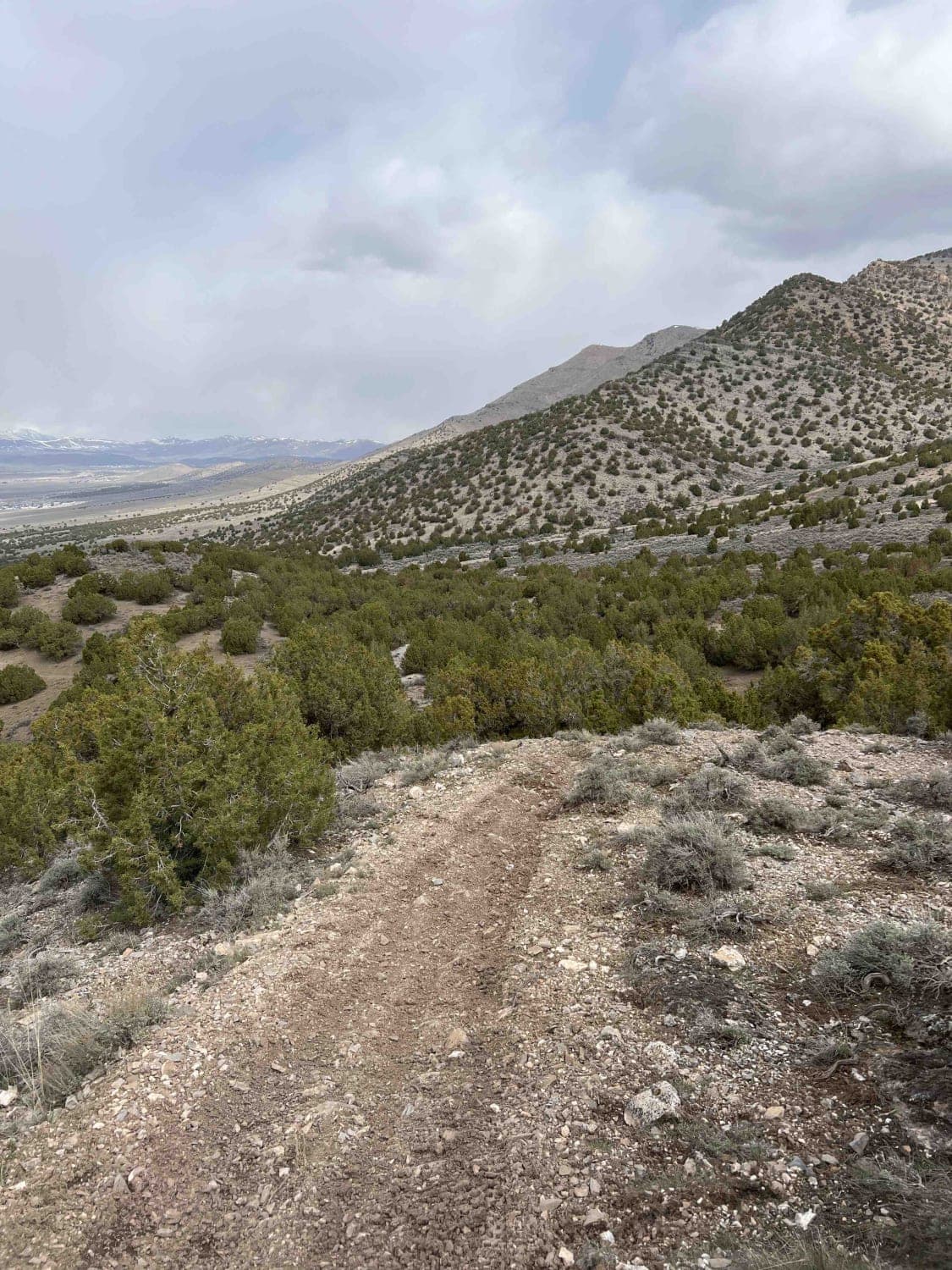
Learn more about Eagle's Nest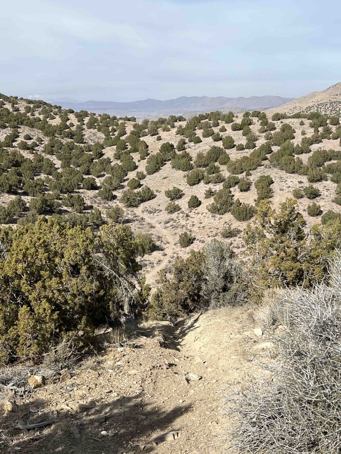
Eagle's Nest
Total Miles
0.8
Tech Rating
Difficult
Best Time
Spring, Summer, Fall, Winter
Learn more about East Bear Lake Overlook
East Bear Lake Overlook
Total Miles
1.7
Tech Rating
Difficult
Best Time
Spring, Summer, Fall
Learn more about East Fork Bear River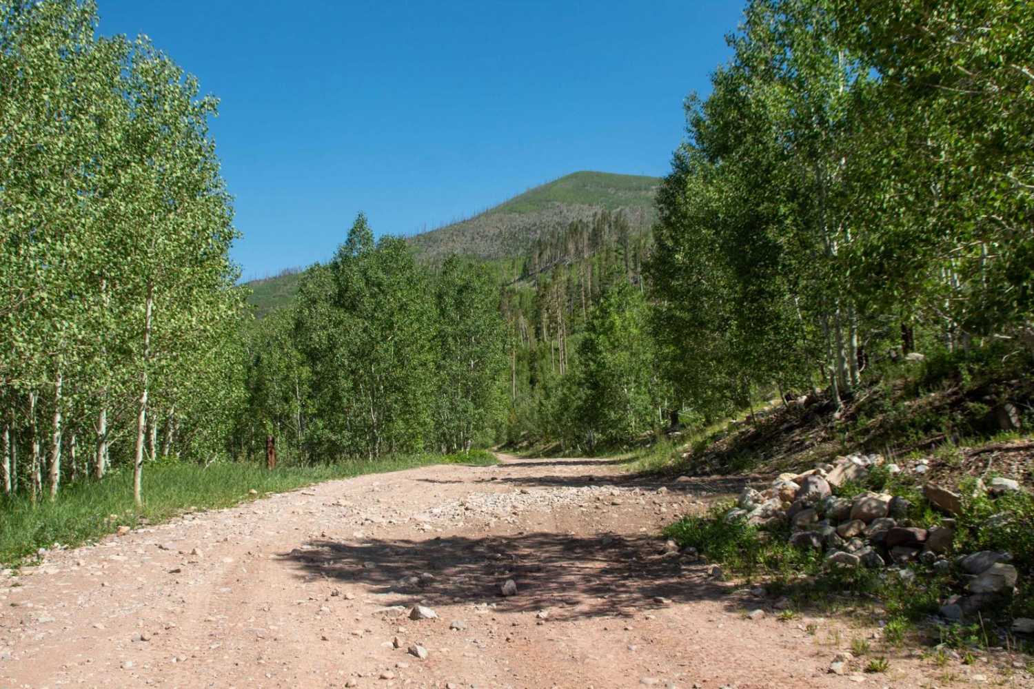
East Fork Bear River
Total Miles
4.9
Tech Rating
Easy
Best Time
Spring, Summer, Fall
Learn more about East Fork of Beaver Dam Wash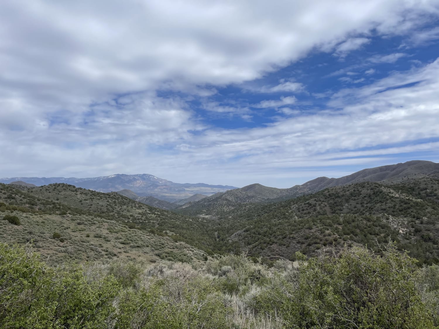
East Fork of Beaver Dam Wash
Total Miles
4.2
Tech Rating
Moderate
Best Time
Fall, Spring
Learn more about East Hogup Road 
East Hogup Road
Total Miles
20.0
Tech Rating
Easy
Best Time
Spring, Summer, Fall, Winter
Learn more about East Horseshoe Canyon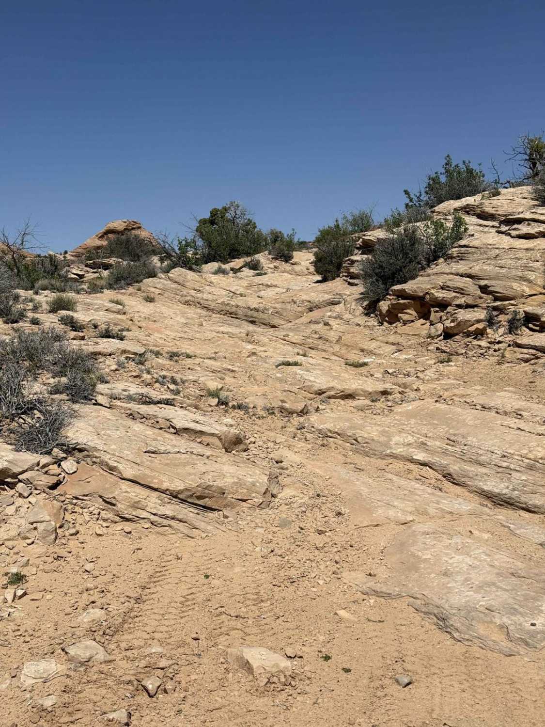
East Horseshoe Canyon
Total Miles
5.2
Tech Rating
Moderate
Best Time
Spring, Fall, Summer
Learn more about East Magic Mountain
East Magic Mountain
Total Miles
5.1
Tech Rating
Moderate
Best Time
Spring, Summer, Fall, Winter
Learn more about East Mounds Road
East Mounds Road
Total Miles
4.9
Tech Rating
Easy
Best Time
Spring, Summer, Fall
Learn more about East Newfoundland Road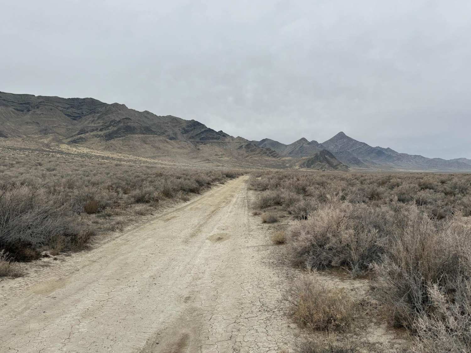
East Newfoundland Road
Total Miles
20.0
Tech Rating
Easy
Best Time
Winter, Fall
Learn more about East Razzle Dazzle Slalom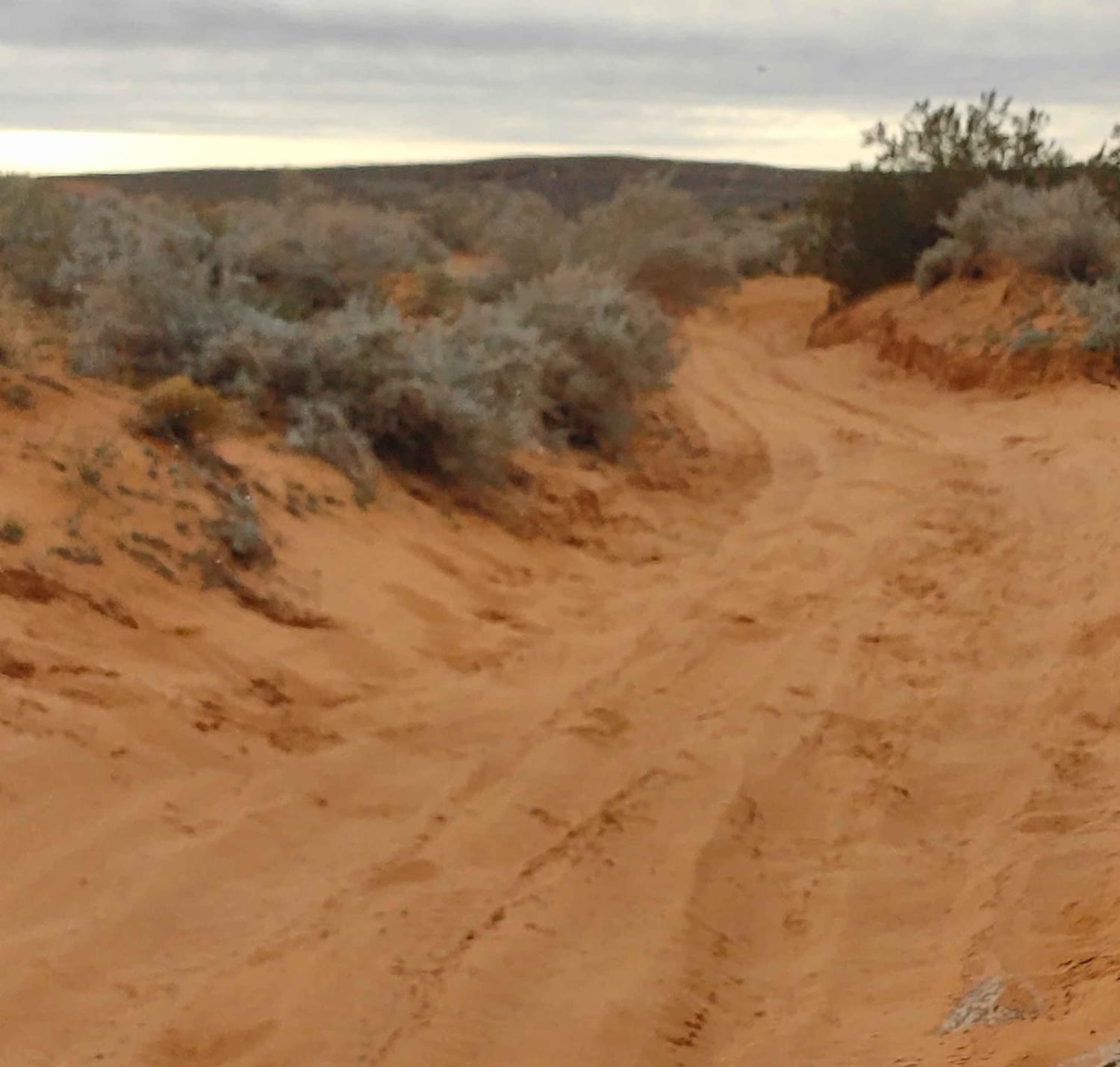
East Razzle Dazzle Slalom
Total Miles
3.5
Tech Rating
Moderate
Best Time
Learn more about East Ridge (2038)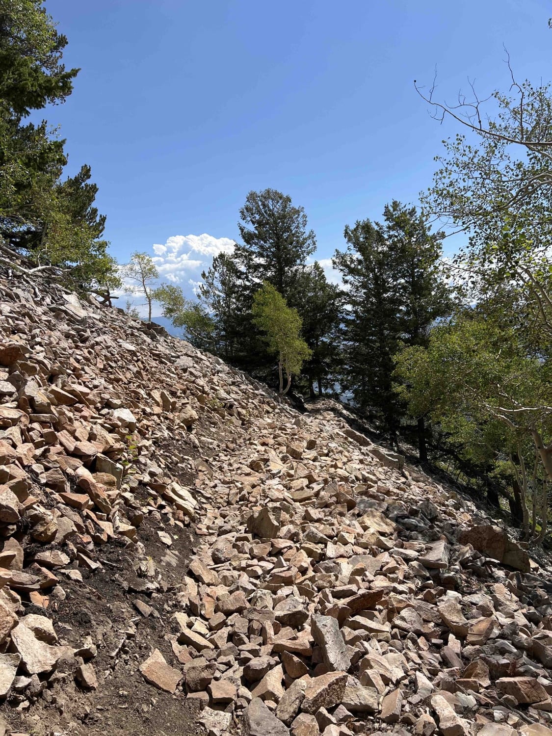
East Ridge (2038)
Total Miles
4.3
Tech Rating
Moderate
Best Time
Summer, Fall
Learn more about East Rim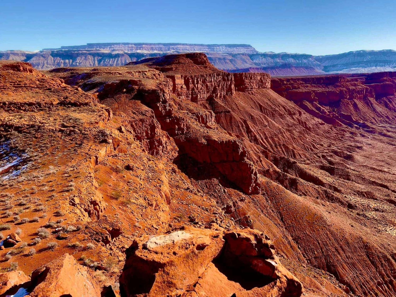
East Rim
Total Miles
13.9
Tech Rating
Easy
Best Time
Spring, Summer, Fall, Winter
Learn more about East Rim Squirrel Run - Single Track
East Rim Squirrel Run - Single Track
Total Miles
5.8
Tech Rating
Moderate
Best Time
Summer, Fall, Winter, Spring
Learn more about East Wedge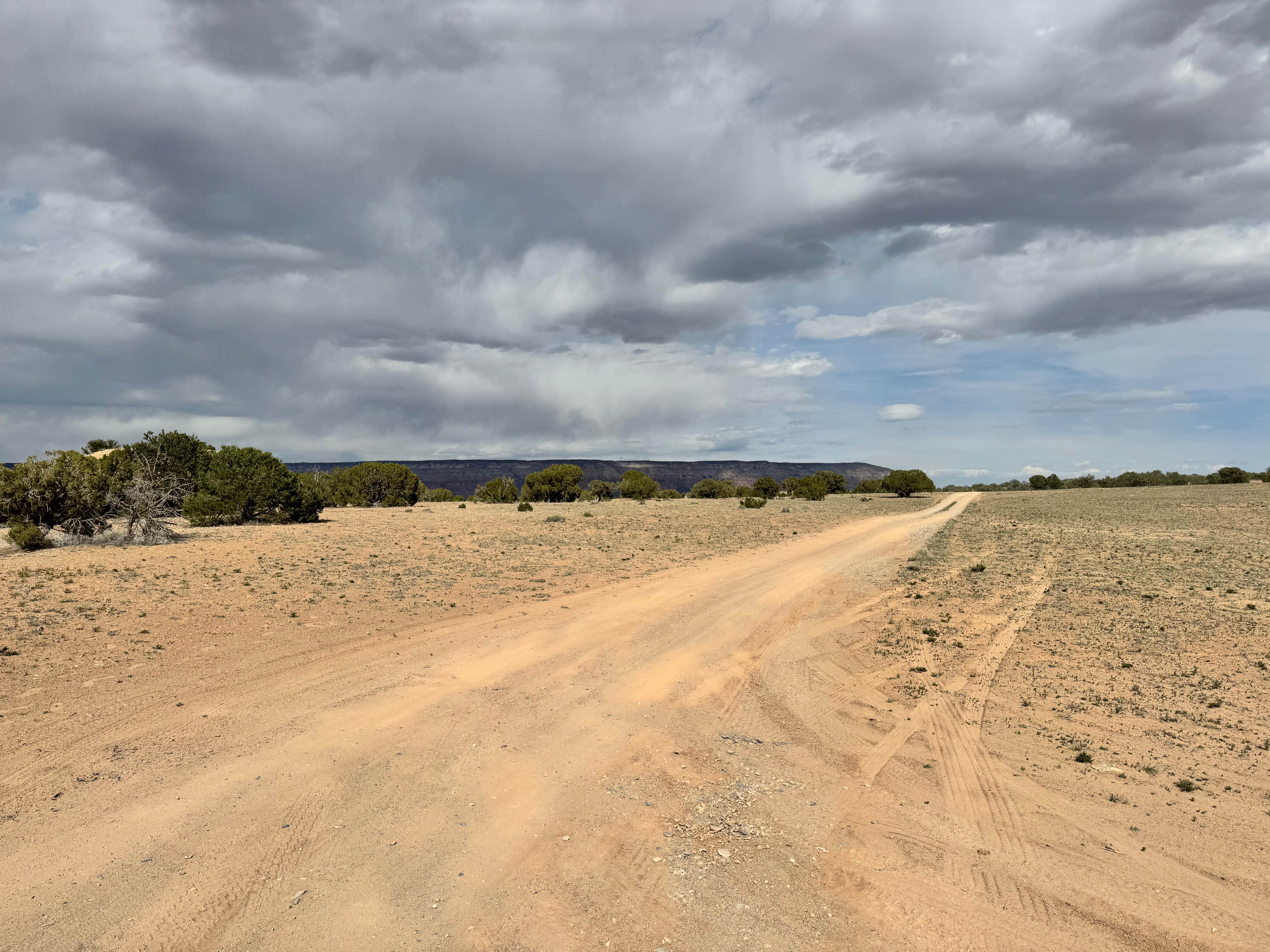
East Wedge
Total Miles
3.6
Tech Rating
Easy
Best Time
Spring, Summer, Fall, Winter
Learn more about Easyrider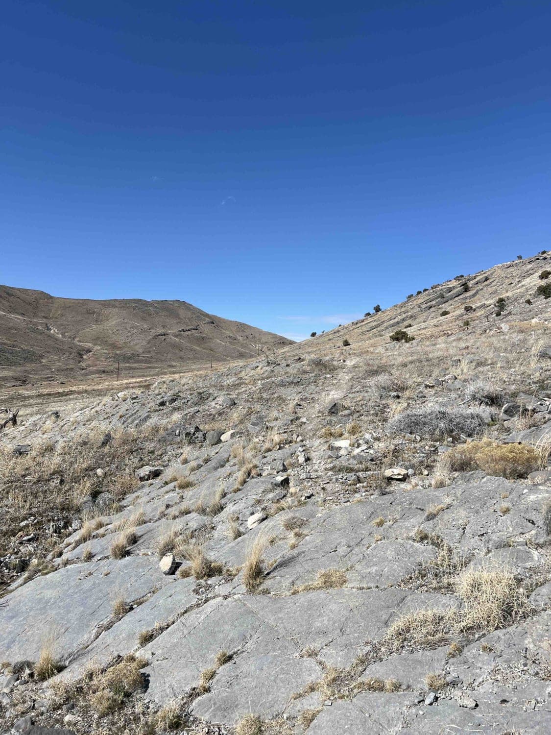
Easyrider
Total Miles
4.6
Tech Rating
Easy
Best Time
Spring, Summer, Fall, Winter
Learn more about Echo Lake Trail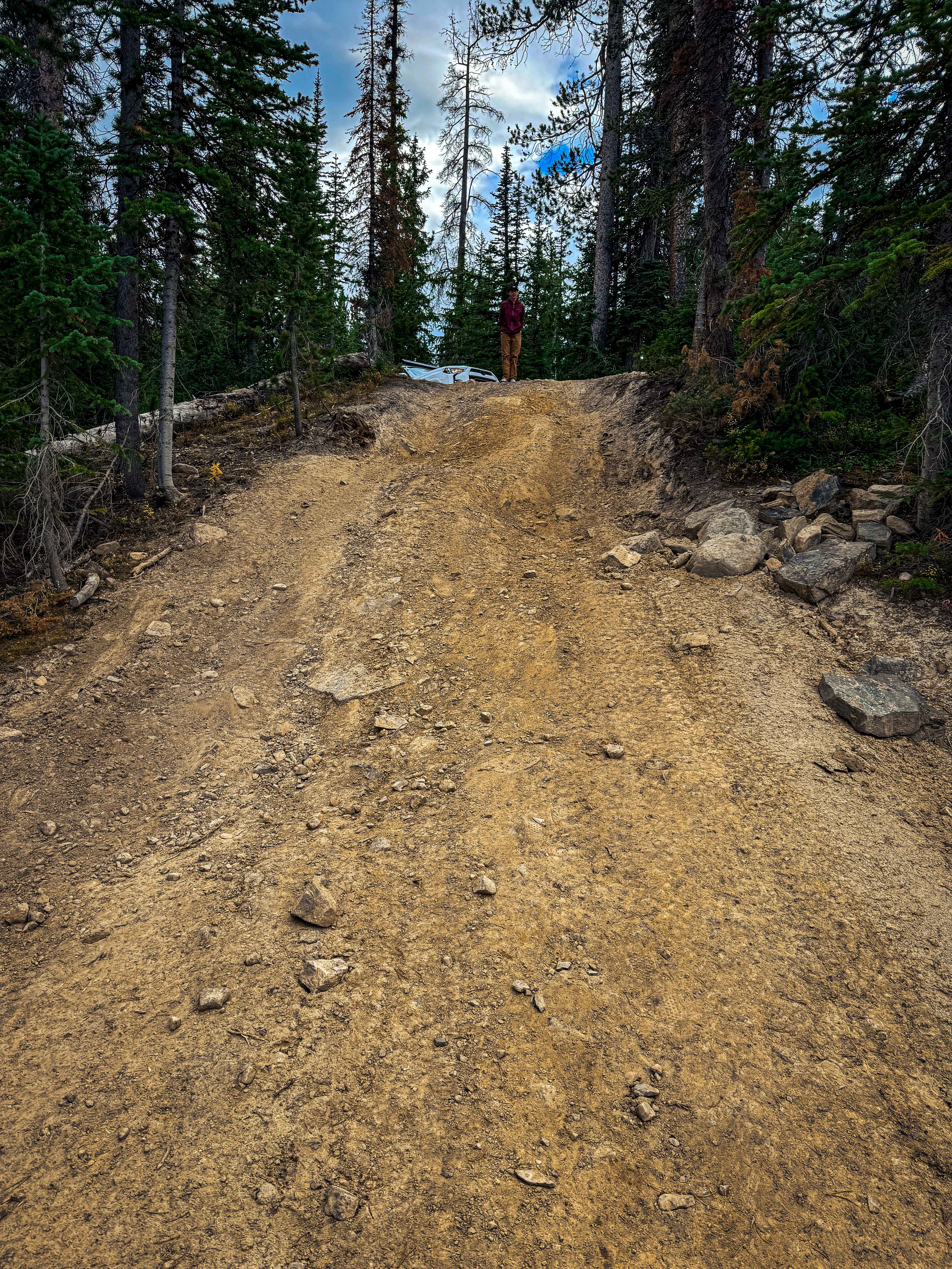
Echo Lake Trail
Total Miles
0.7
Tech Rating
Moderate
Best Time
Spring, Summer, Fall
ATV trails in Utah

Learn more about 14 Mile Road
14 Mile Road
Total Miles
14.7
Tech Rating
Easy
Best Time
Spring, Summer, Fall, Winter


UTV/side-by-side trails in Utah
Learn more about 14 Mile Road
14 Mile Road
Total Miles
14.7
Tech Rating
Easy
Best Time
Spring, Summer, Fall, Winter
The onX Offroad Difference
onX Offroad combines trail photos, descriptions, difficulty ratings, width restrictions, seasonality, and more in a user-friendly interface. Available on all devices, with offline access and full compatibility with CarPlay and Android Auto. Discover what you’re missing today!