East Horseshoe Canyon
Total Miles
5.2
Technical Rating
Best Time
Spring, Fall, Summer
Trail Type
Full-Width Road
Accessible By
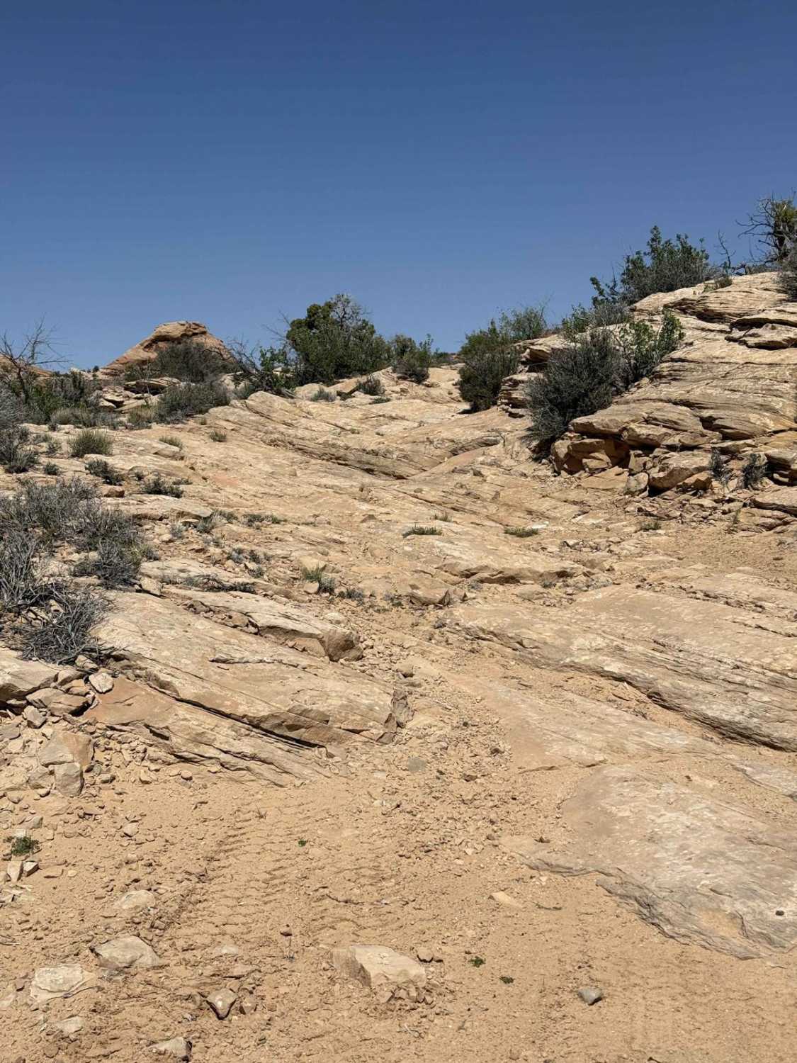
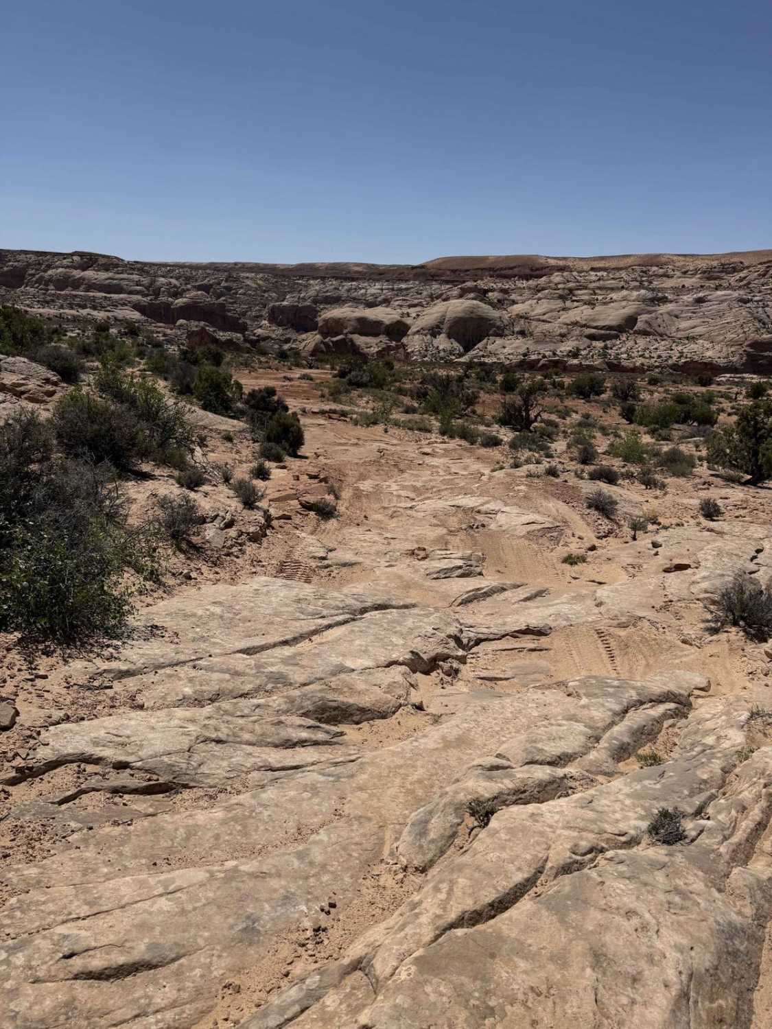
Trail Overview
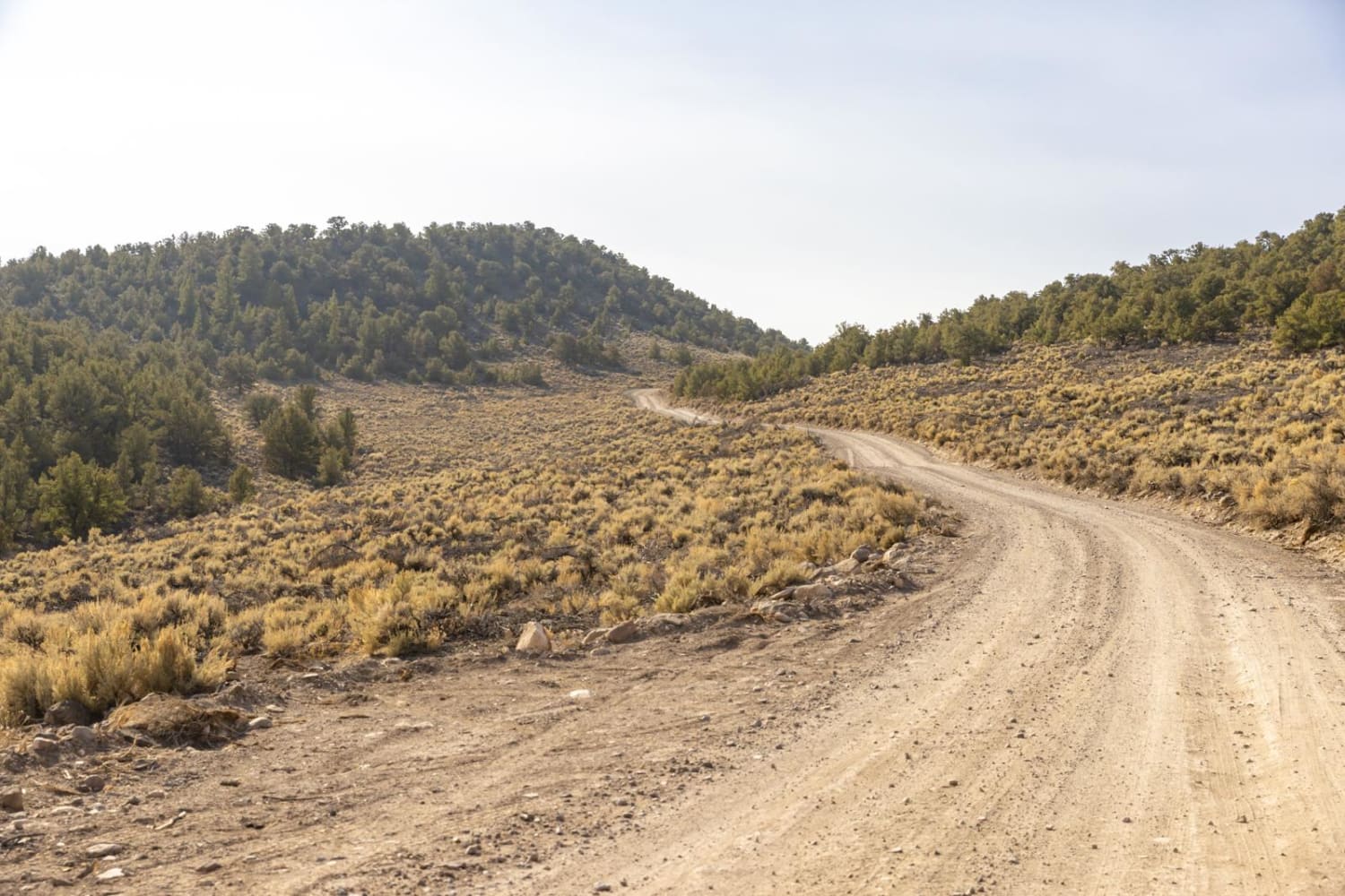
This out-and-back trail goes to the east side of Horseshoe Canyon. There is an old mining/ranching road (now only open for hiking) that begins at the end of the trail and continues down to the canyon floor. Horseshoe Canyon is home to a large number of famous Barrier Canyon style pictographs, including the "Great Gallery". The first few miles of the trail are decently maintained and sandy, once you reach some old wooden mining ruins it becomes fairly primitive and has some moderately difficult slick rock climbs. The last quarter mile of the trail has the most challenging section.
Photos of East Horseshoe Canyon
Difficulty
There are some slickrock ledges that require picking a good line.
History
Previously used by miners trying to drill for oil that came up empty. There are some wooden ruins of the drilling operation alongside the trail.
Status Reports
East Horseshoe Canyon can be accessed by the following ride types:
- High-Clearance 4x4
- SUV
East Horseshoe Canyon Map
Popular Trails
Piuta - FS 70103

Red Canyon/Back Way to Motoqua Birthing Cave
Left Hand Collett Canyon Road (BLM230)
The onX Offroad Difference
onX Offroad combines trail photos, descriptions, difficulty ratings, width restrictions, seasonality, and more in a user-friendly interface. Available on all devices, with offline access and full compatibility with CarPlay and Android Auto. Discover what you’re missing today!